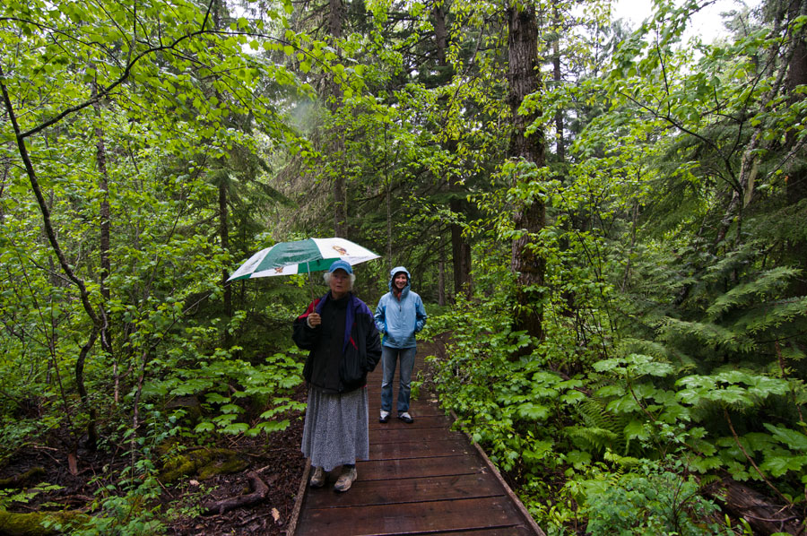
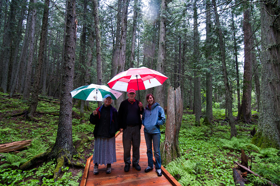
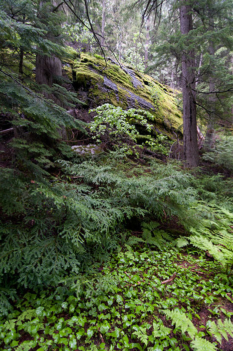
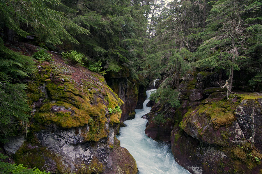
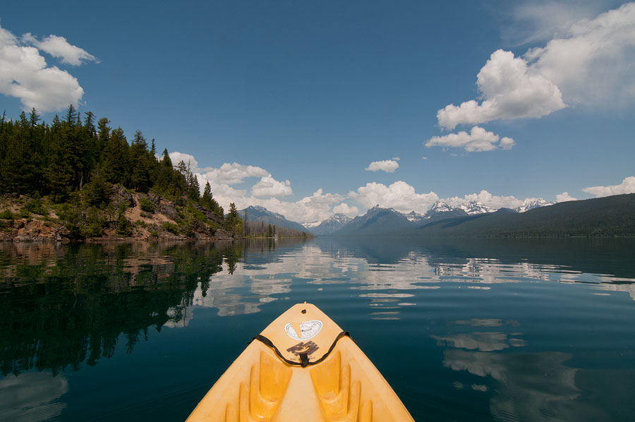
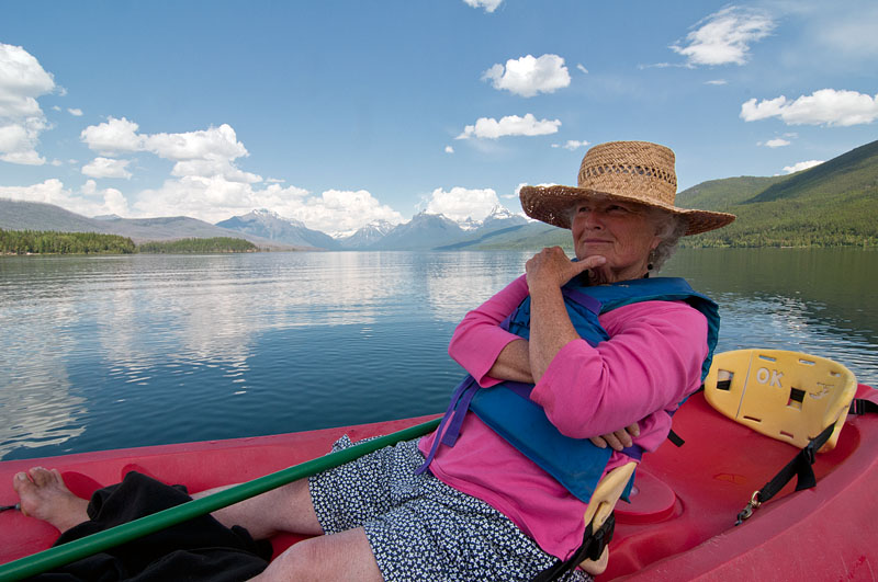
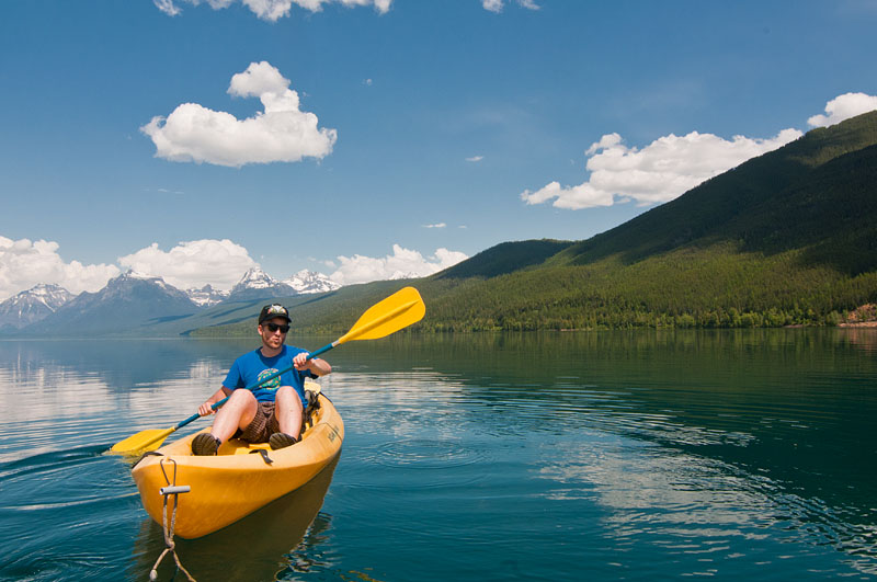
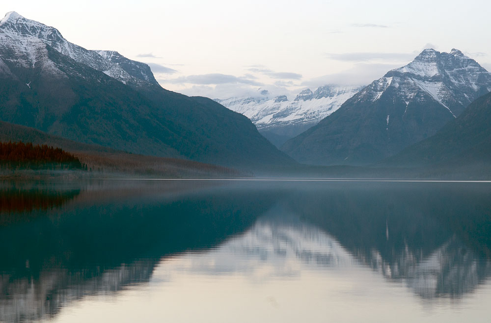
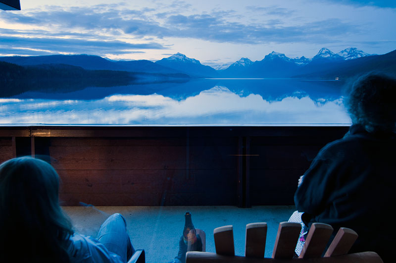
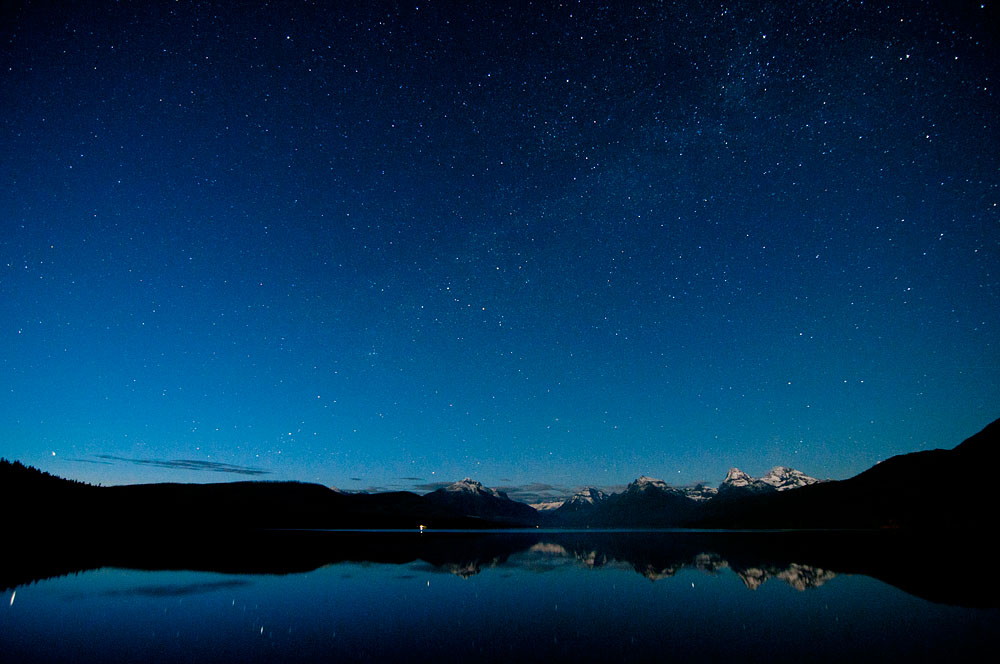
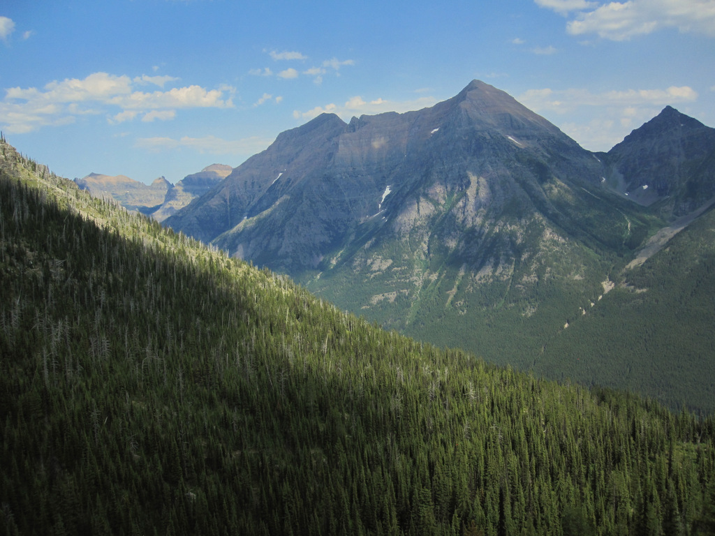
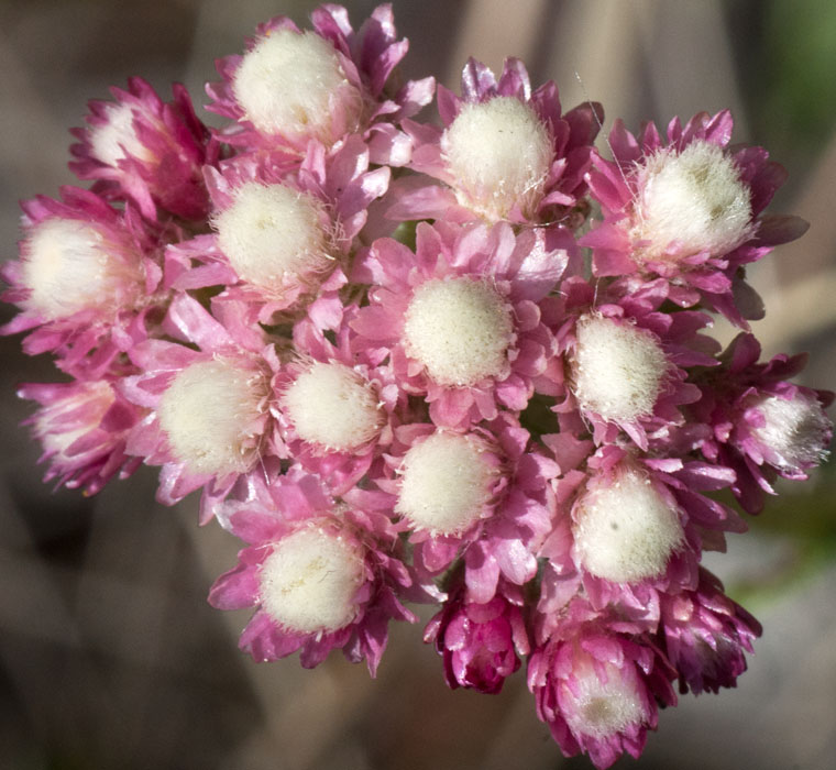
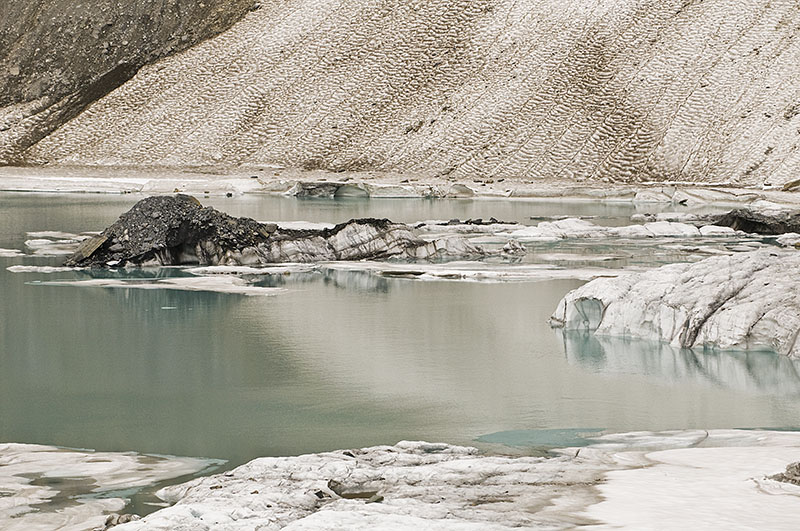
A Bit of Glacier
A few days spent in the western part of the park last week. Dollar dollar billz yall.

A few days spent in the western part of the park last week. Dollar dollar billz yall.
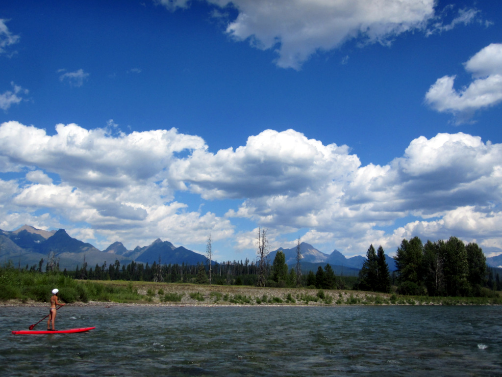
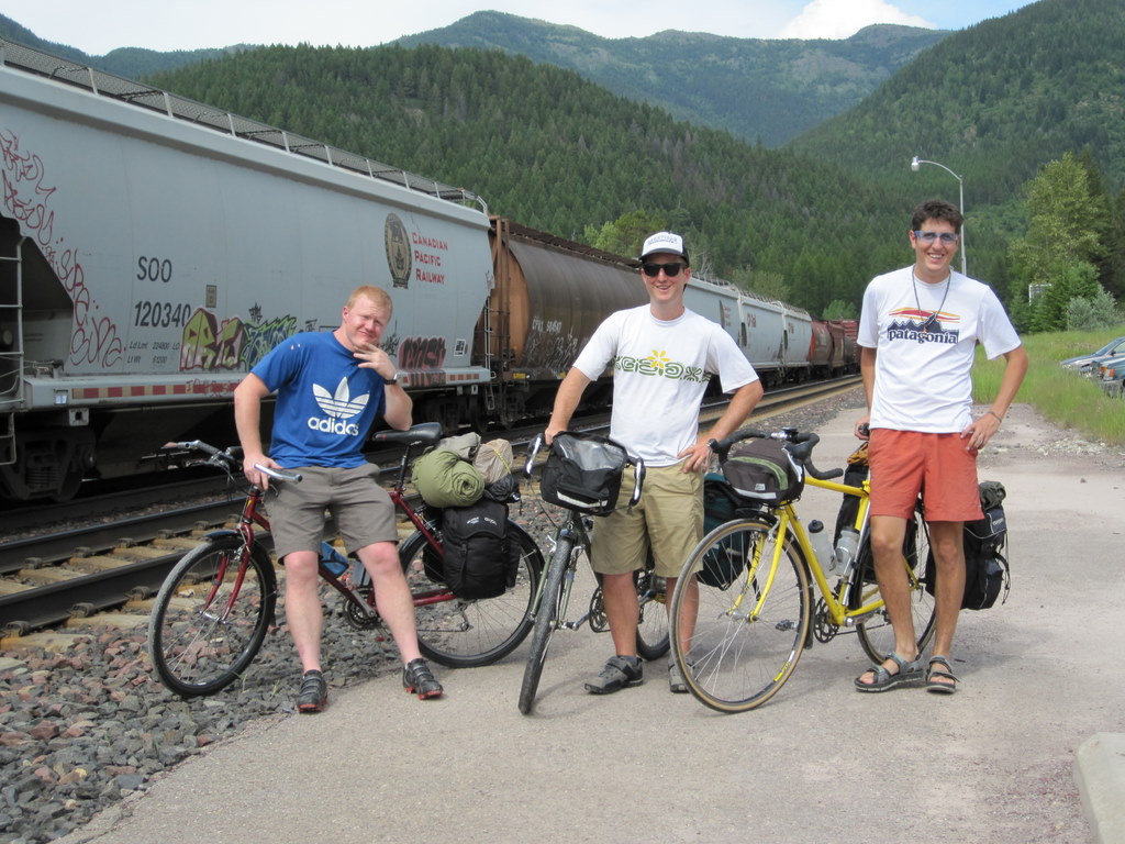
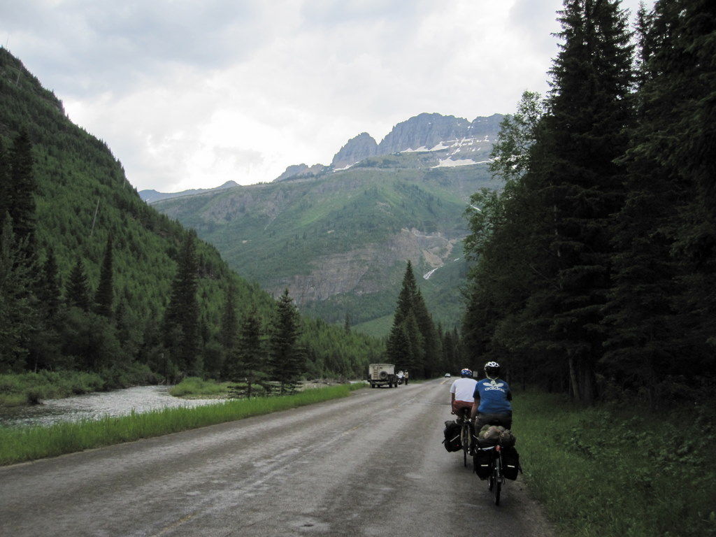
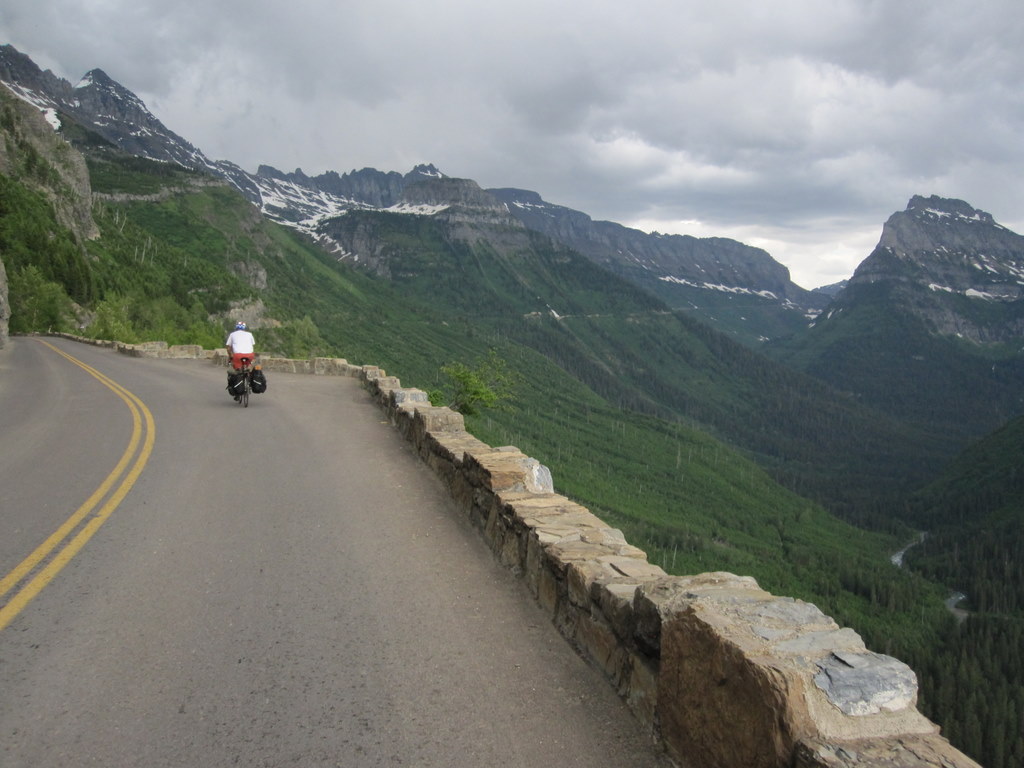
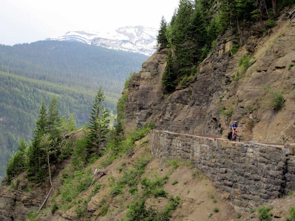
In July Jeff, Andy, and I biked from West Glacier, Montana to Vancouver, British Columbia. The whole trip was about 900 miles and it took exactly 2 weeks.
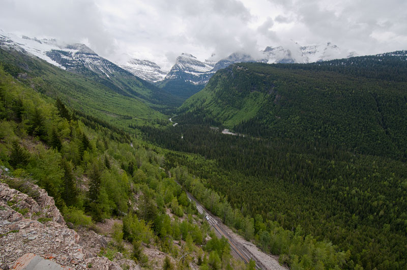
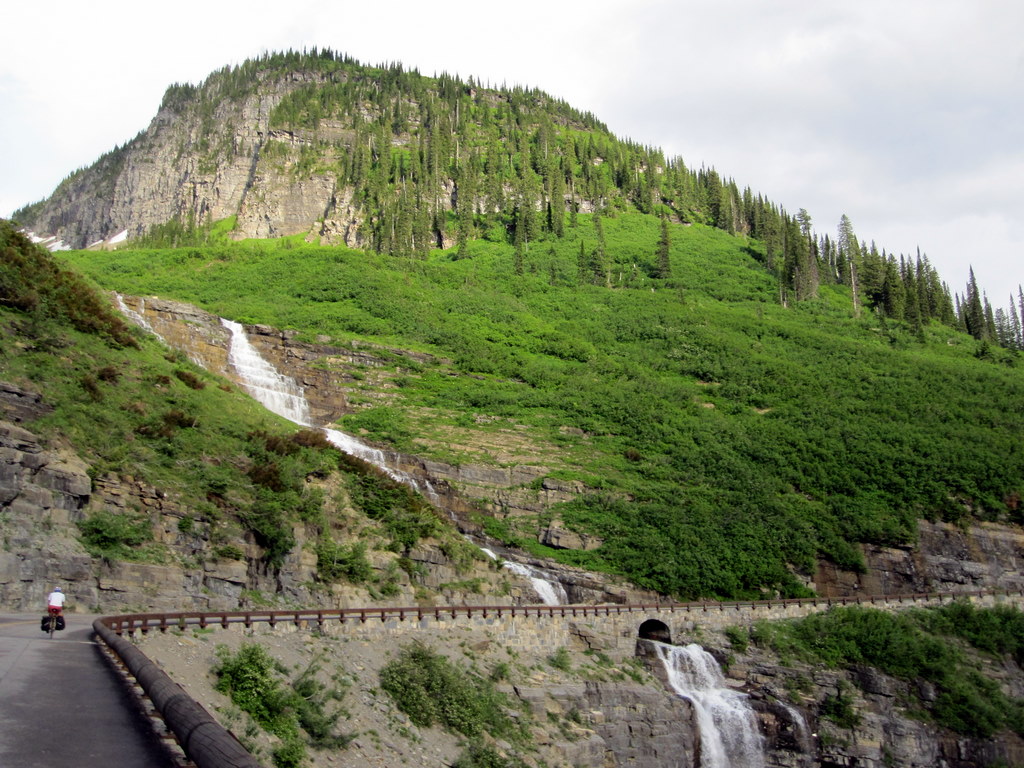
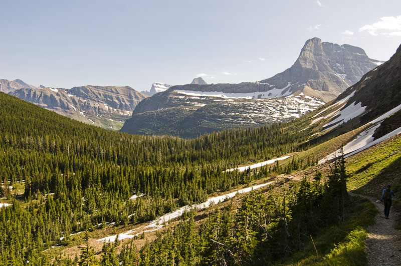
Our first day we biked through Glacier National Park on the Going to the Sun Road, it was quite an epic start.
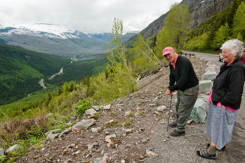
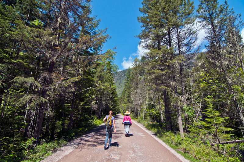
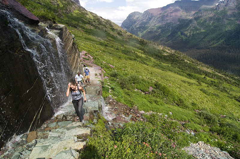
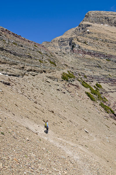
Update: This hike was 13 miles long and after all was said and done I think Mom may have been the least tired.

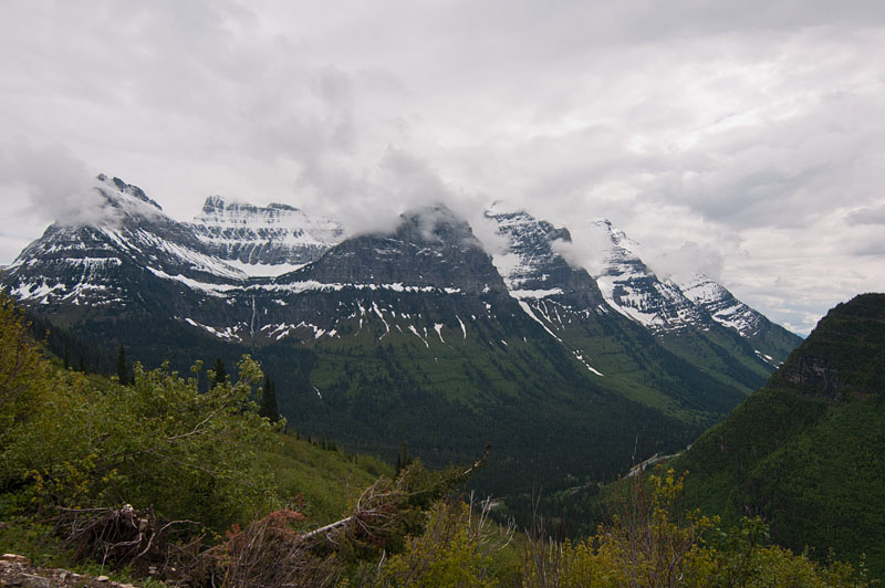
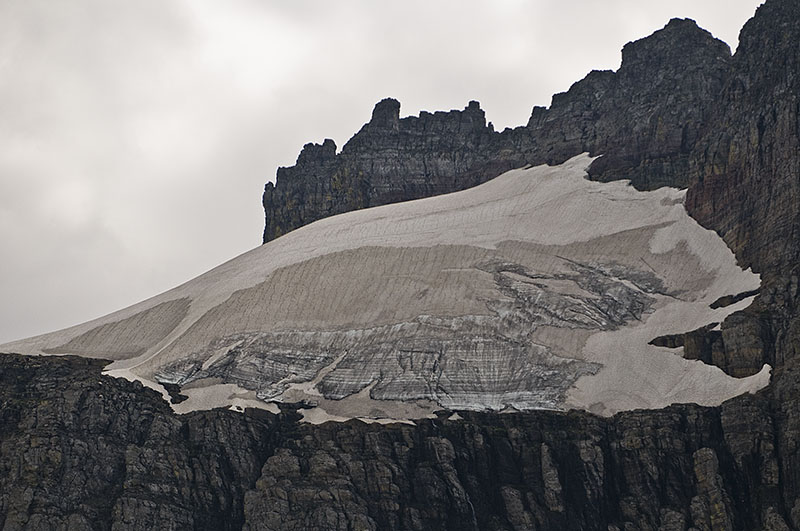
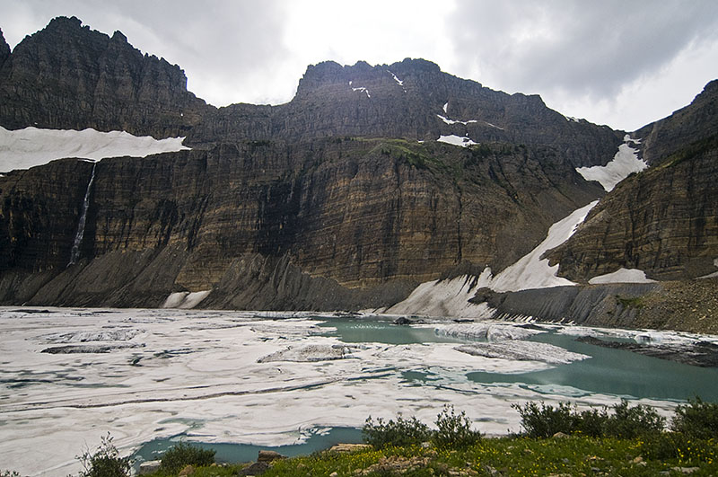
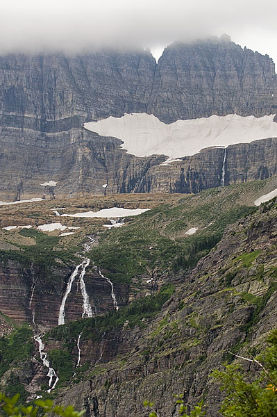
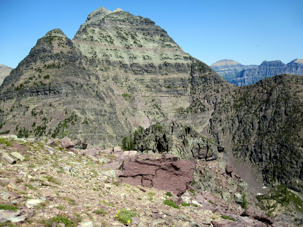
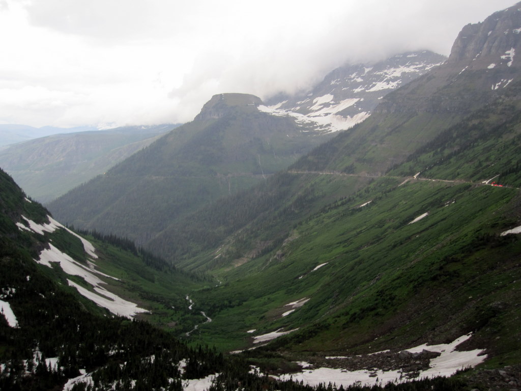
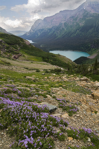
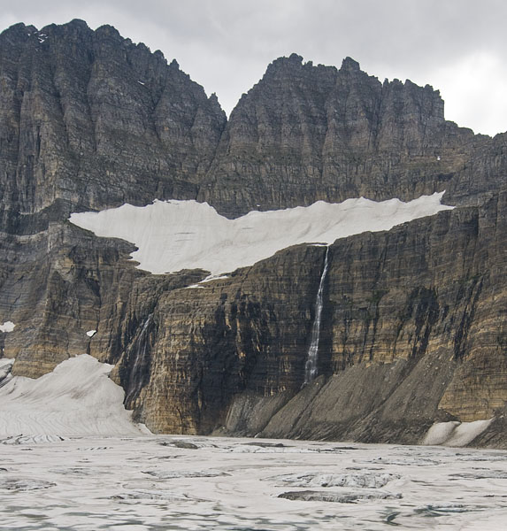
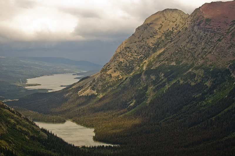
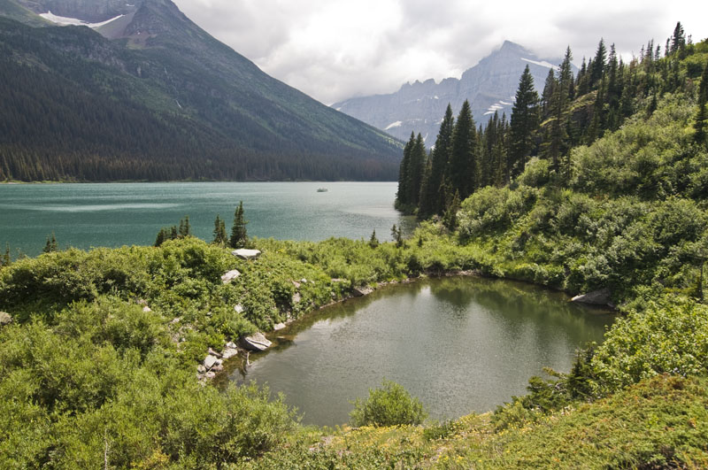
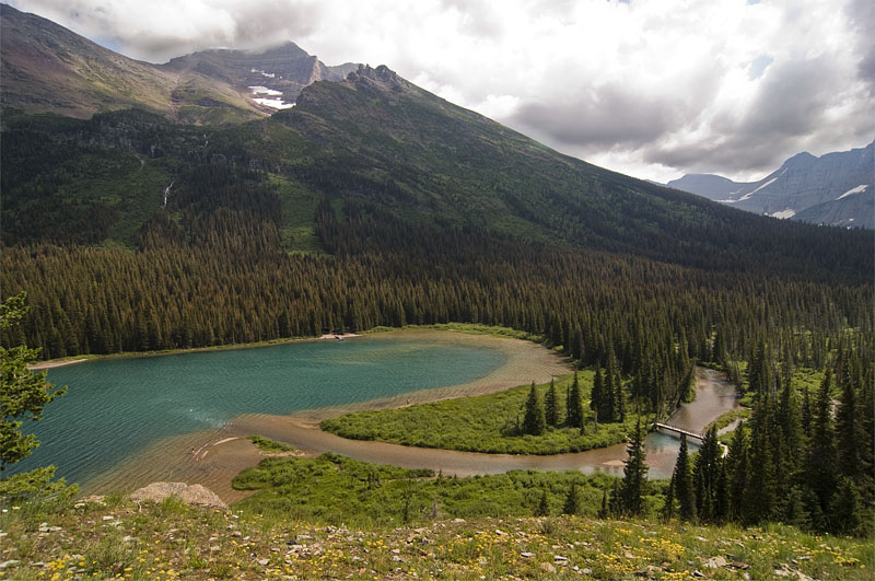
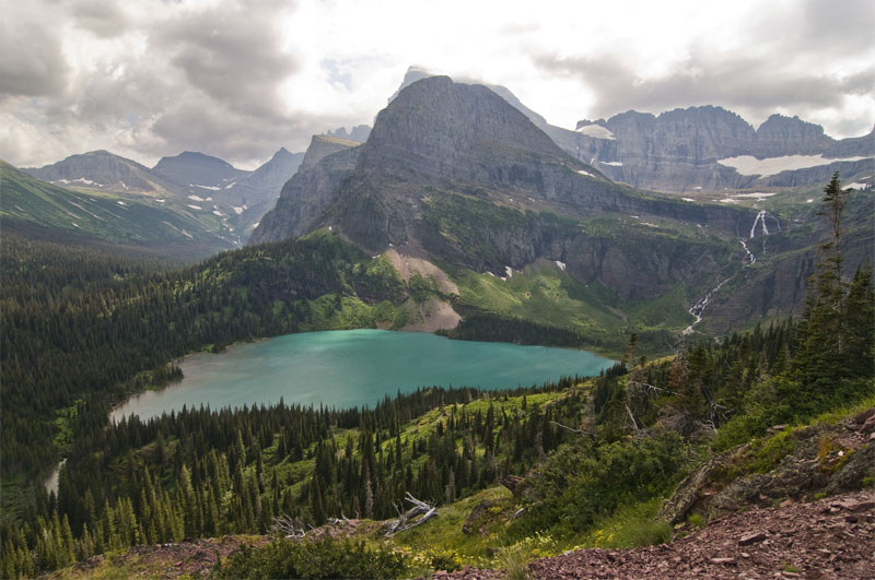
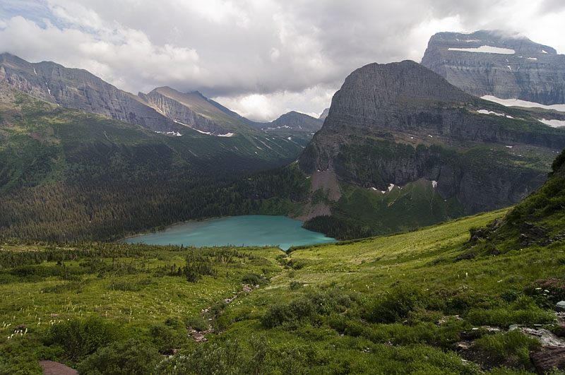
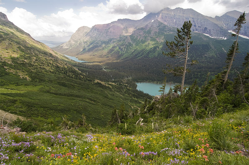
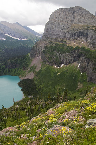
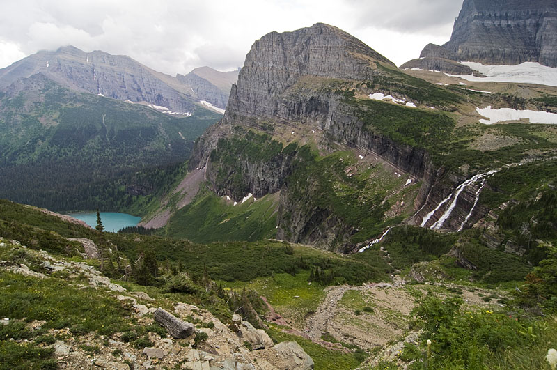
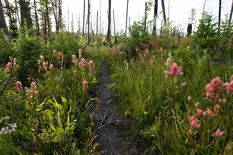
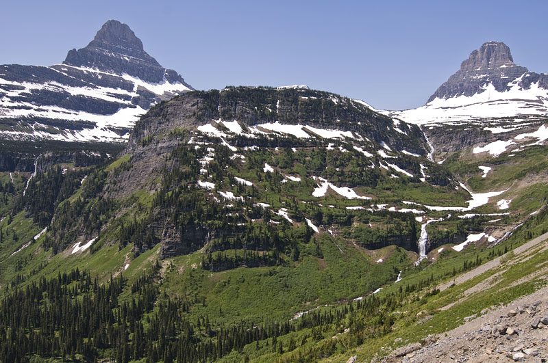
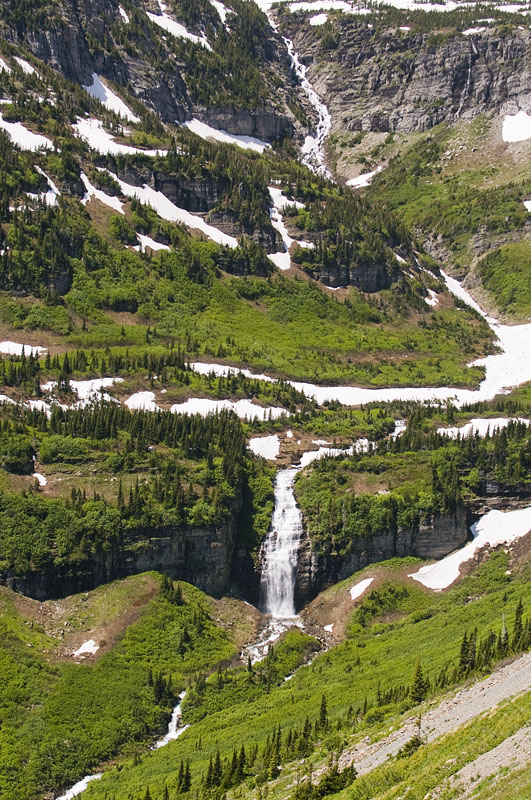
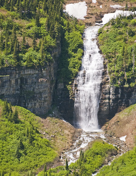
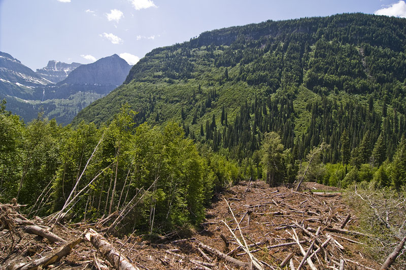
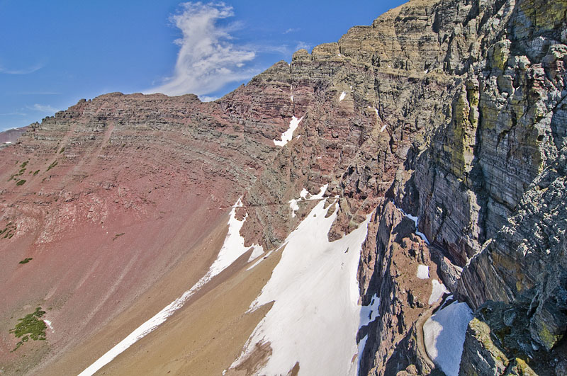
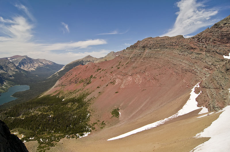
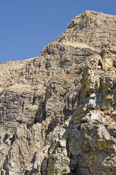
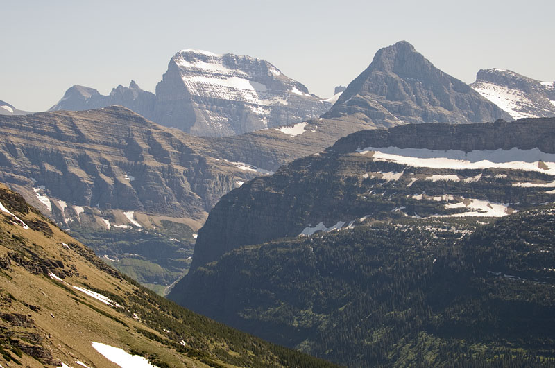
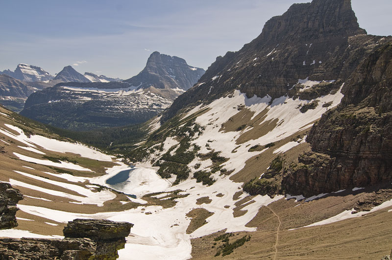
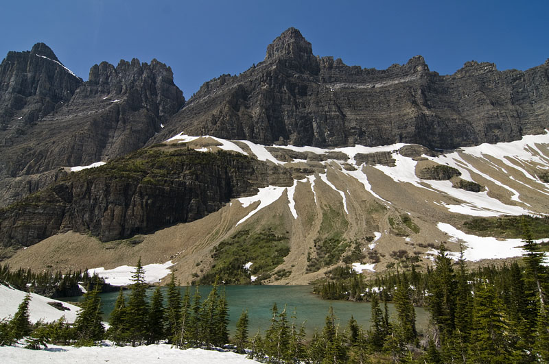
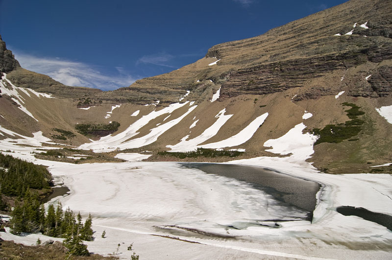
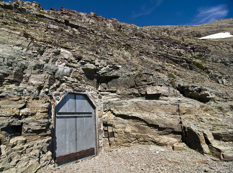
After 5.7 miles we made it to Grinnell Glacier. The giant steep rock wall enclosing the area is called the Garden Wall, it is part of the continental divide.
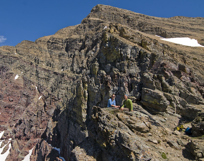
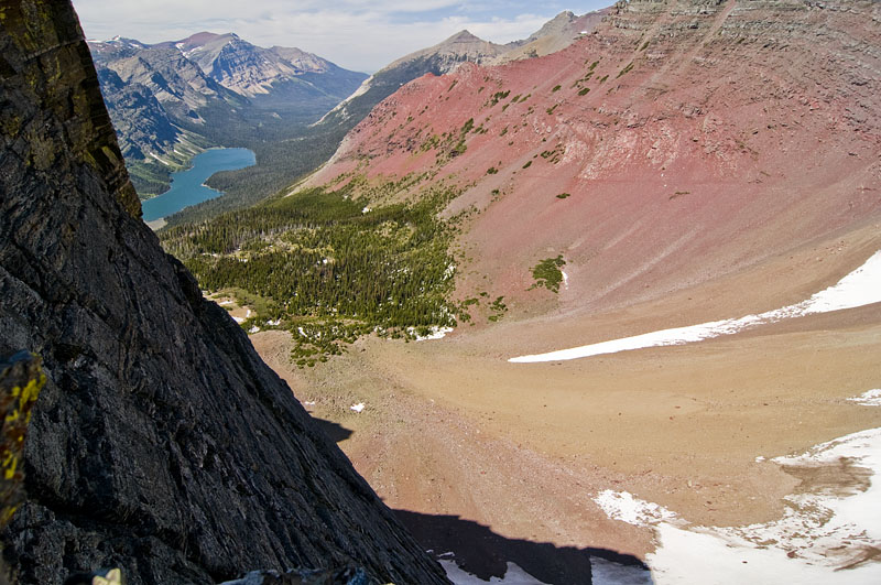
If you look at the top of the wall in the 4th picture there is a notch in the Garden Wall above and to the right of Salamander Glacier. You can hike to that point from the Highline Trail. Pictures from that spot from September 2008 are here and from September 2007 here.

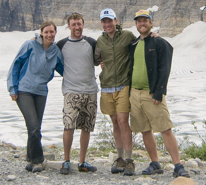
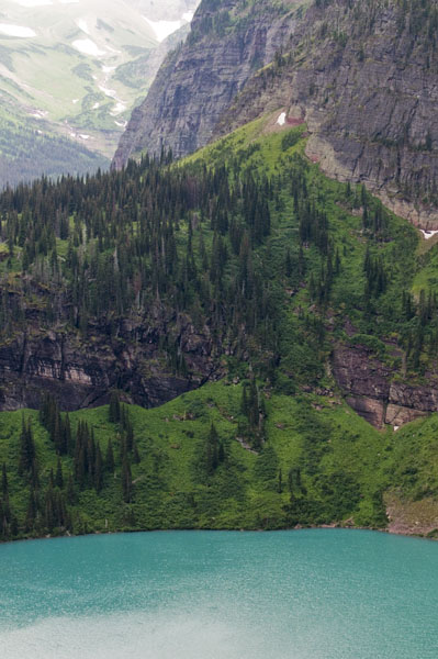
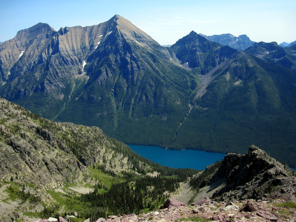
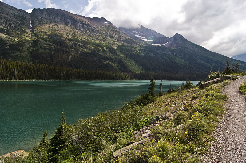
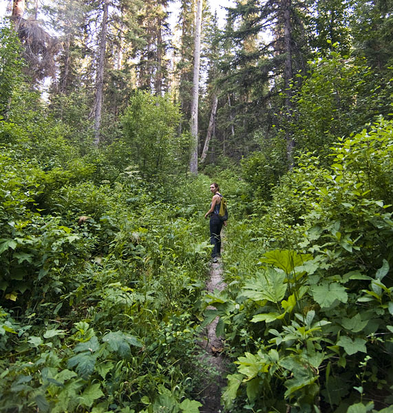
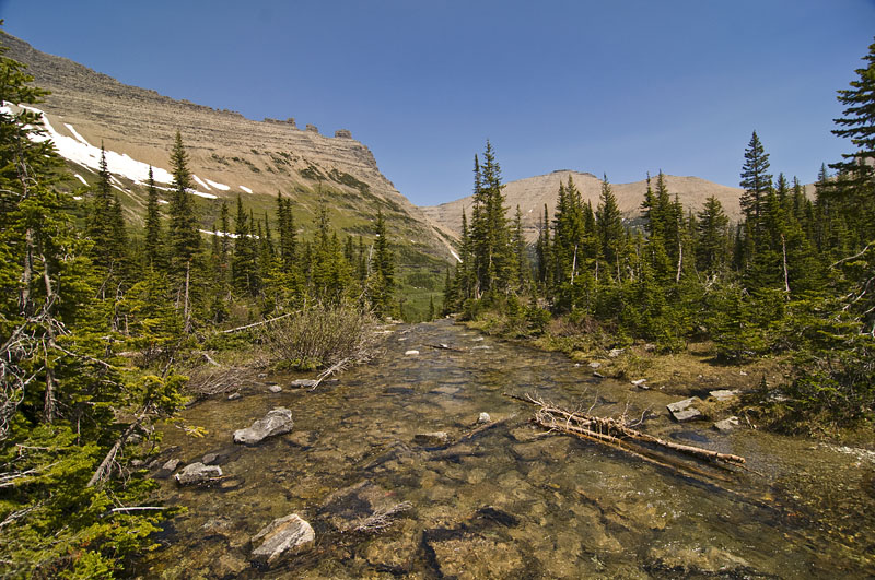
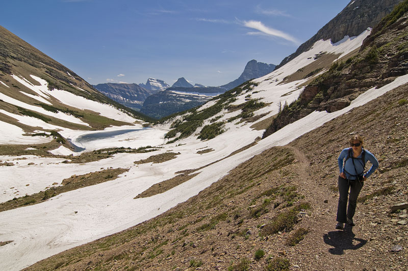
On Sunday we camped in Many Glacier and did a hike to Grinnell Glacier. I had attempted this hike with my parents in early June a few years ago. We had to turn back a few miles from the end because there was too much snow in the higher elevation areas. This time there wasn’t any snow blocking the way.
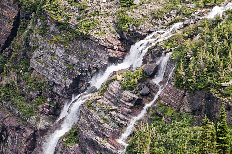
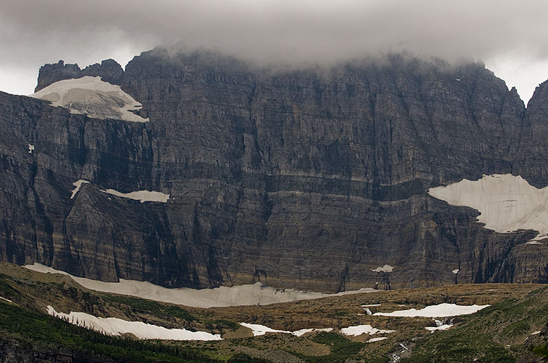
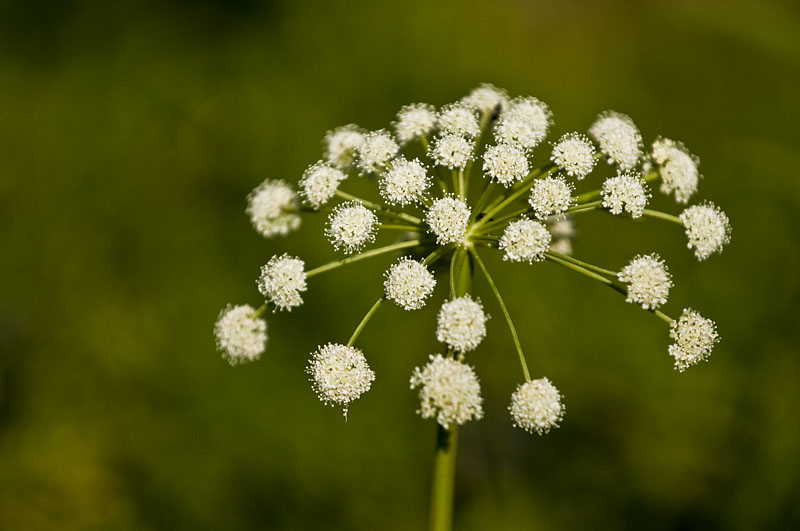
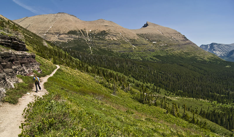
The hike is a little under 12 miles round trip, and offers some spectacular scenery the whole way.
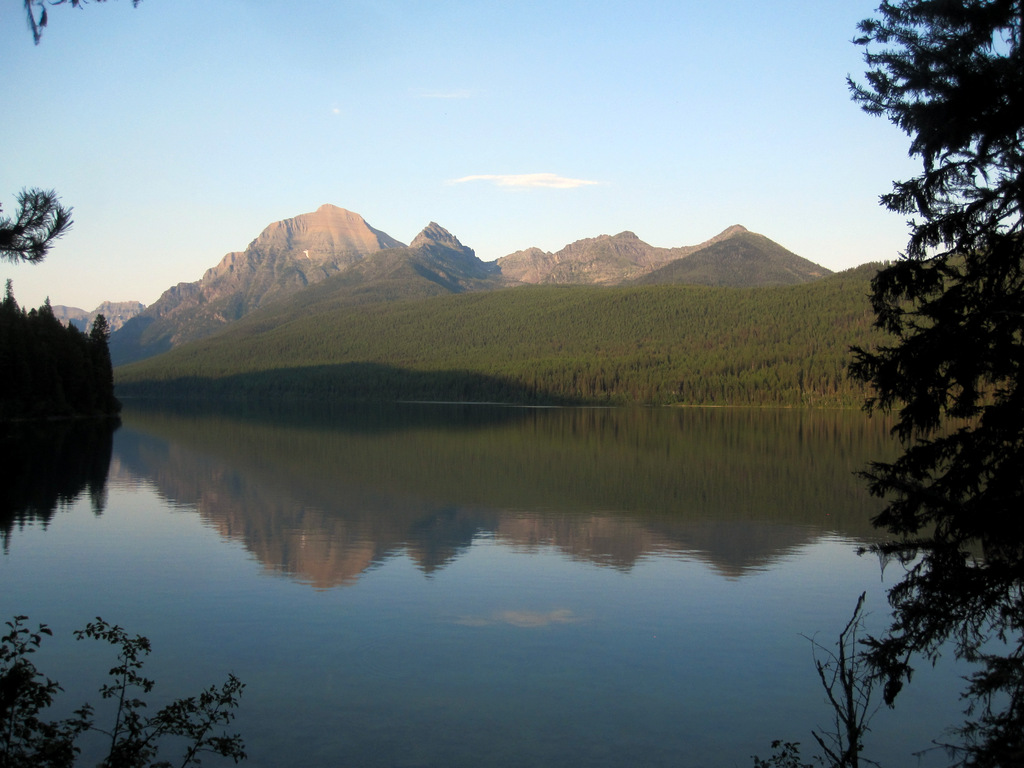
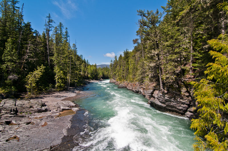
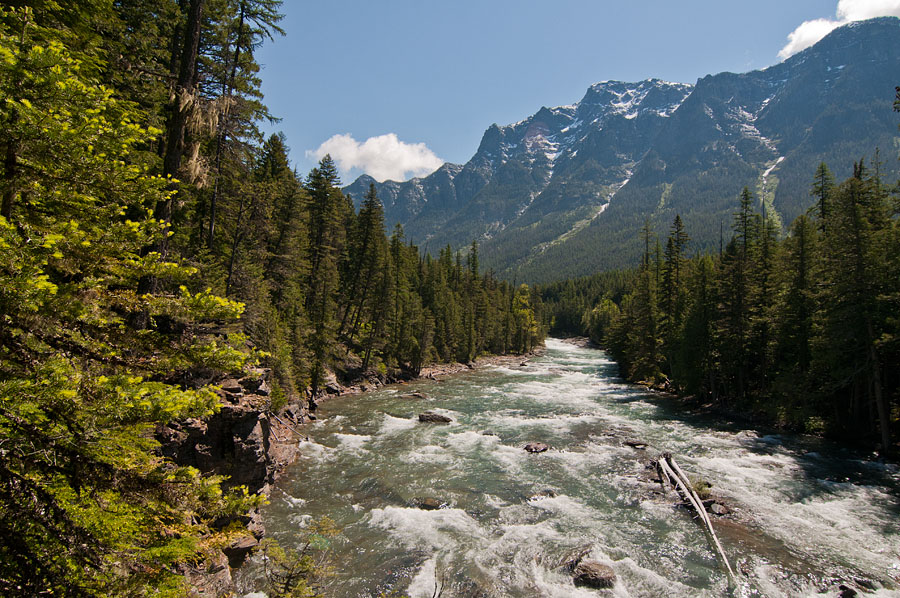
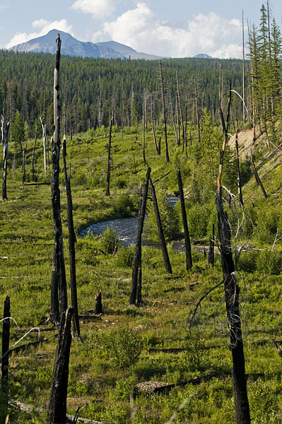
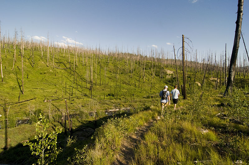
The next day we drove up to Glacier National Park. We got there in the afternoon and being the middle of summer most of the campsites were already full so we drove out on the Inner North Fork Road to Logging Creek Campground.
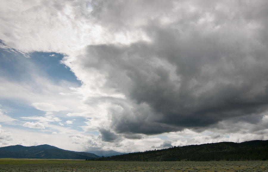
There was a really excellent thunderstorm that night with a lot of thunder but not much rain. Thunder always reminds me of North Carolina.
The final pictures of the hike and some miscellaneous pictures of our last day in Glacier.
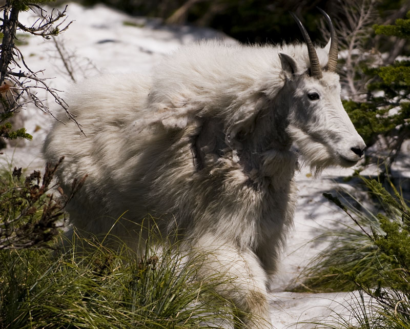
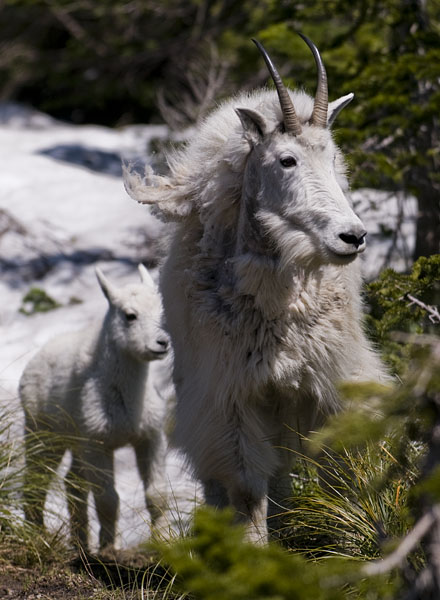
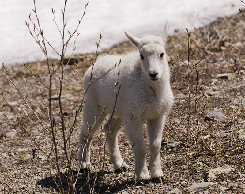
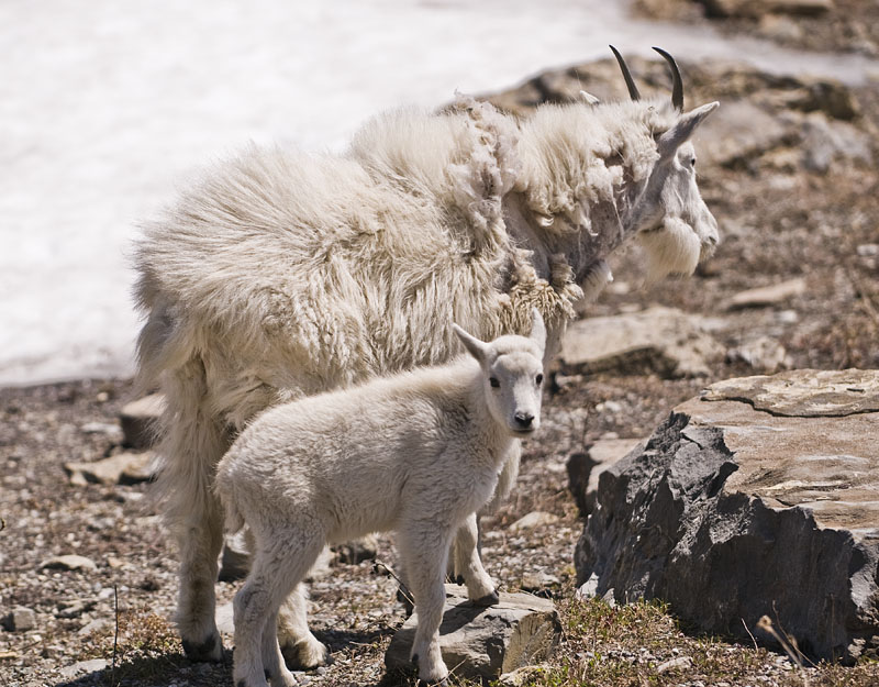
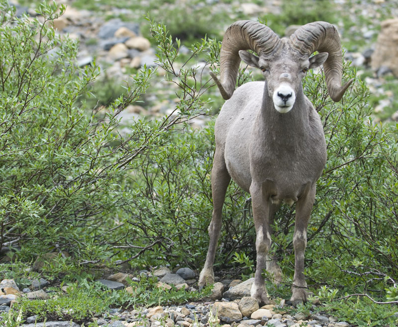
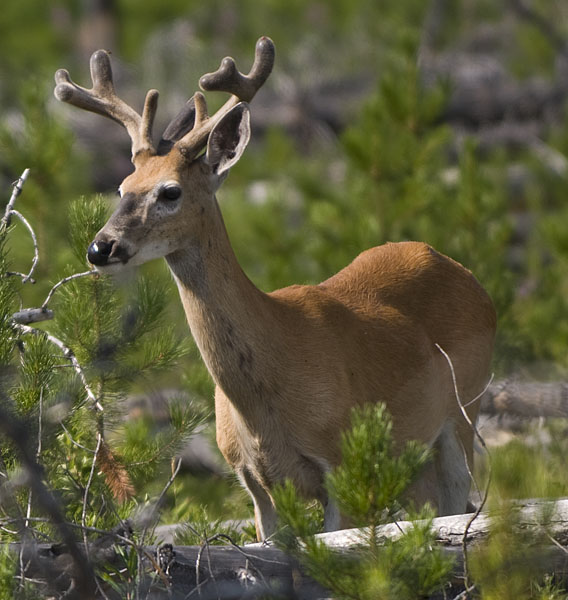
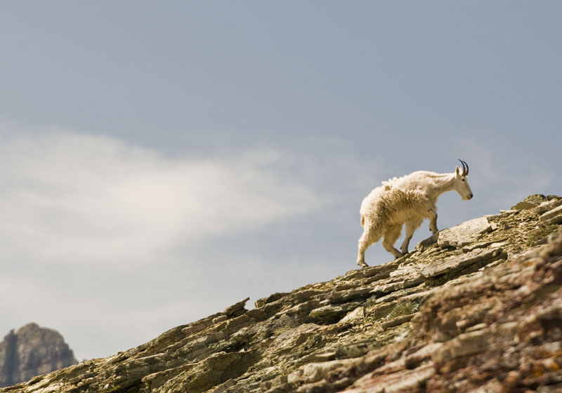
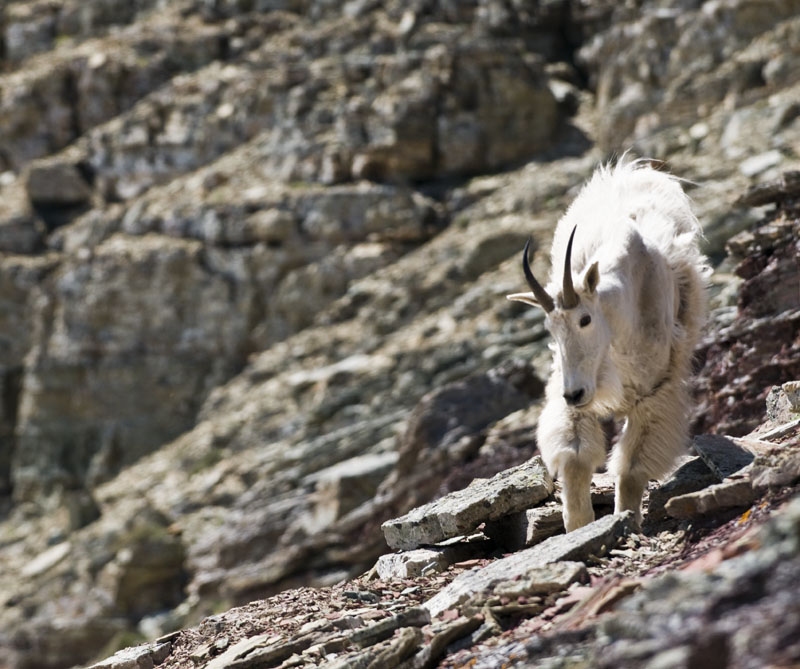
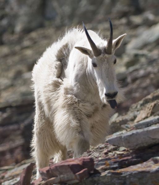
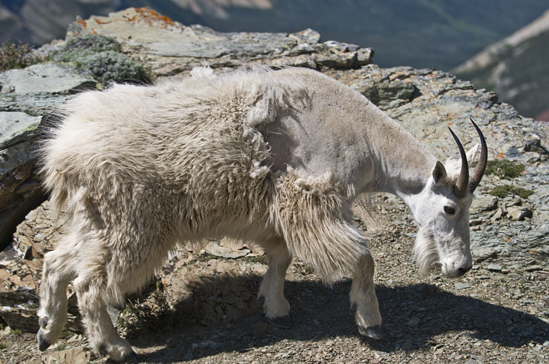
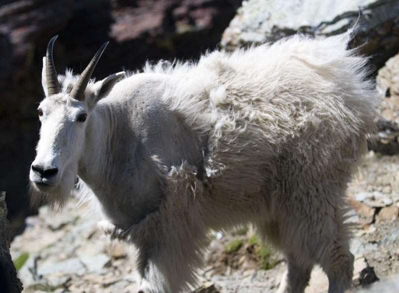
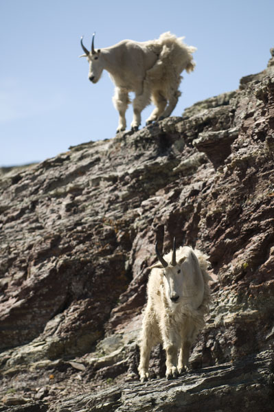
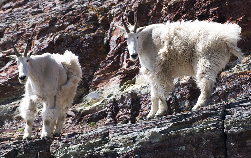
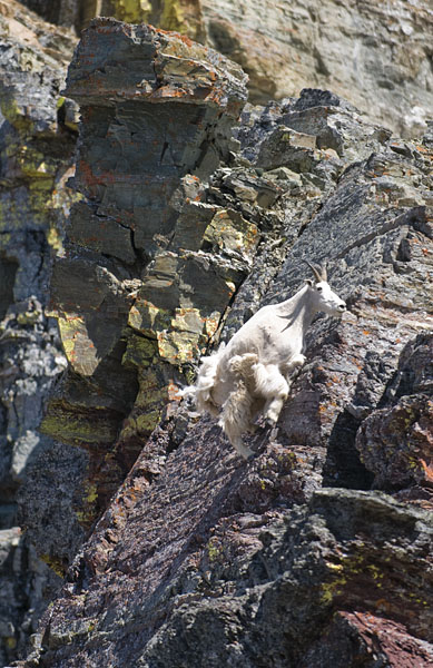
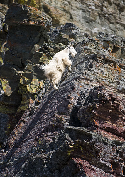
Three mountain goats joined us for a little while as we were enjoying the view. Mountain goats are seen quite a bit in Glacier, but it was interesting to see them in their natural environs rather than right beside the road.
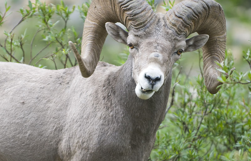
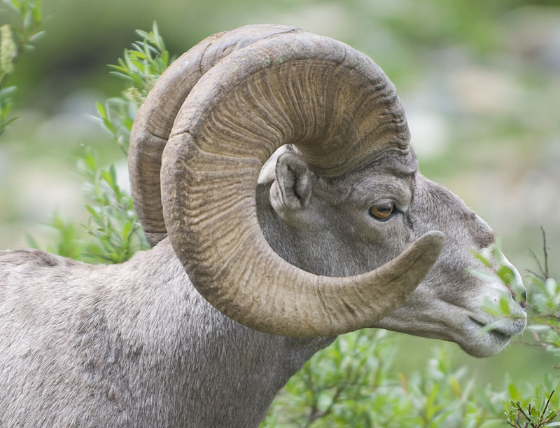
I also added a “Wildlife” category if you want to scope out other pictures of ferocious beasts.
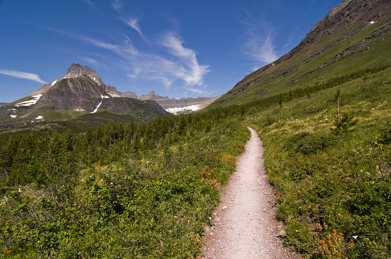
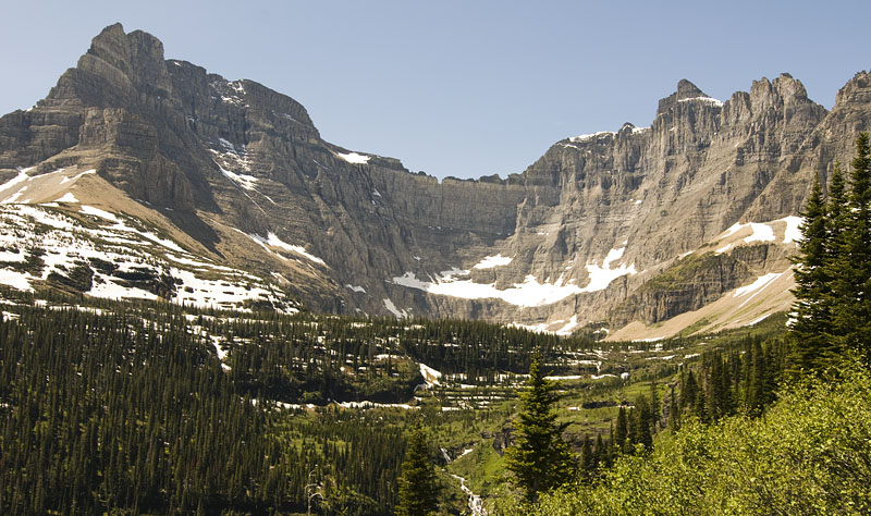
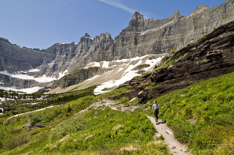
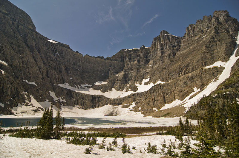
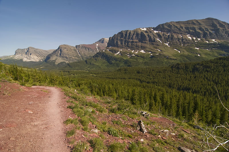
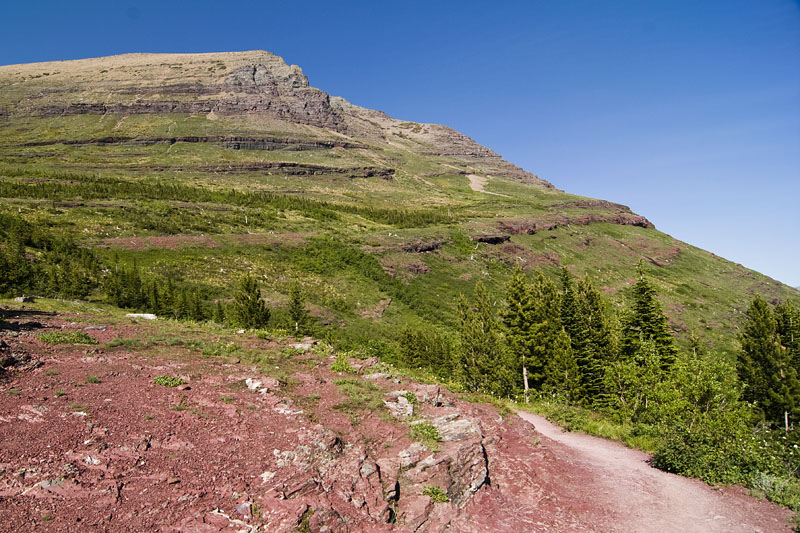
The Iceberg Lake is a 10 mile out and back hike. About 3 miles from the start there is a turnoff for Ptarmigan Lake. Coming back we decided to check it out.
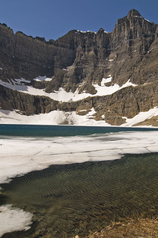
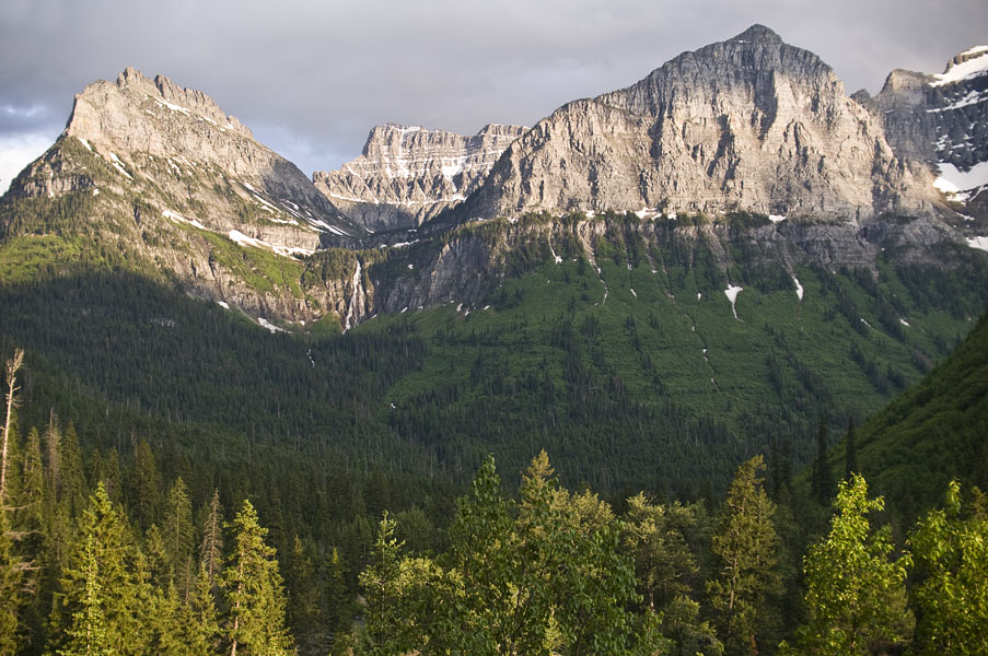
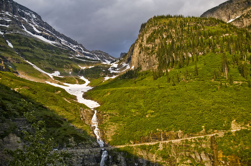
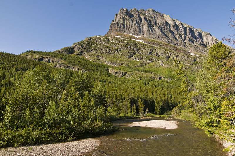
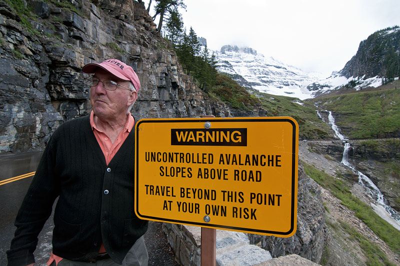
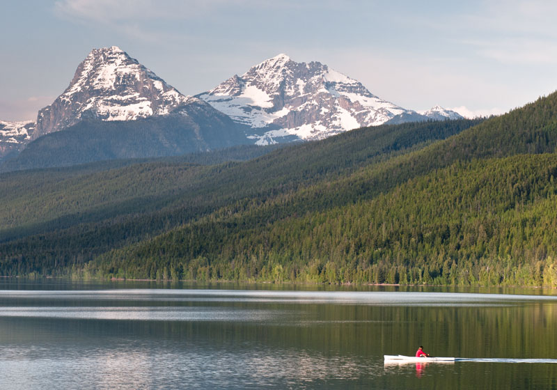
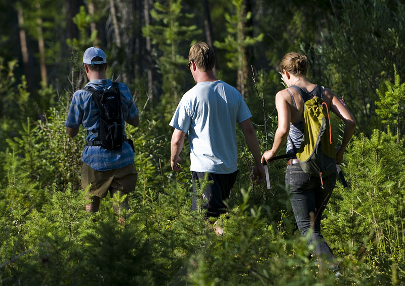
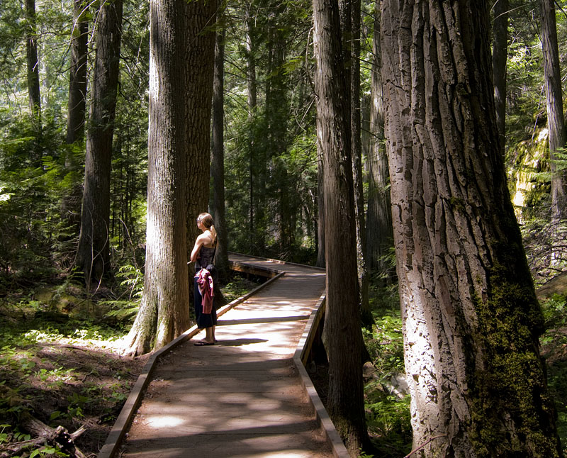
Hilary and I went to Glacier National Park over the weekend. Saturday was spent doing a pretty amazing hike to Iceberg Lake and then to the Ptarmigan Tunnel. Here are some pictures of the Going to the Sun Road from Friday evening and the start of our hike on Saturday.