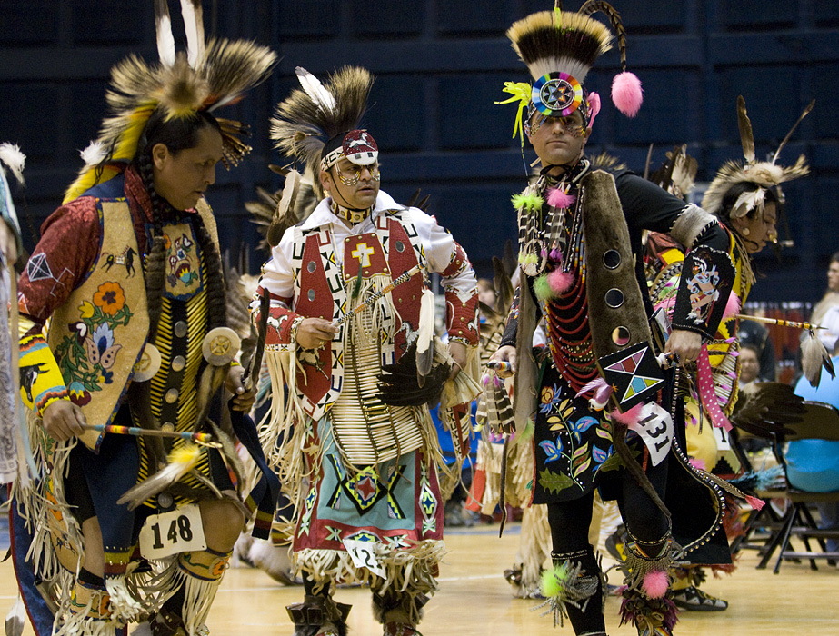
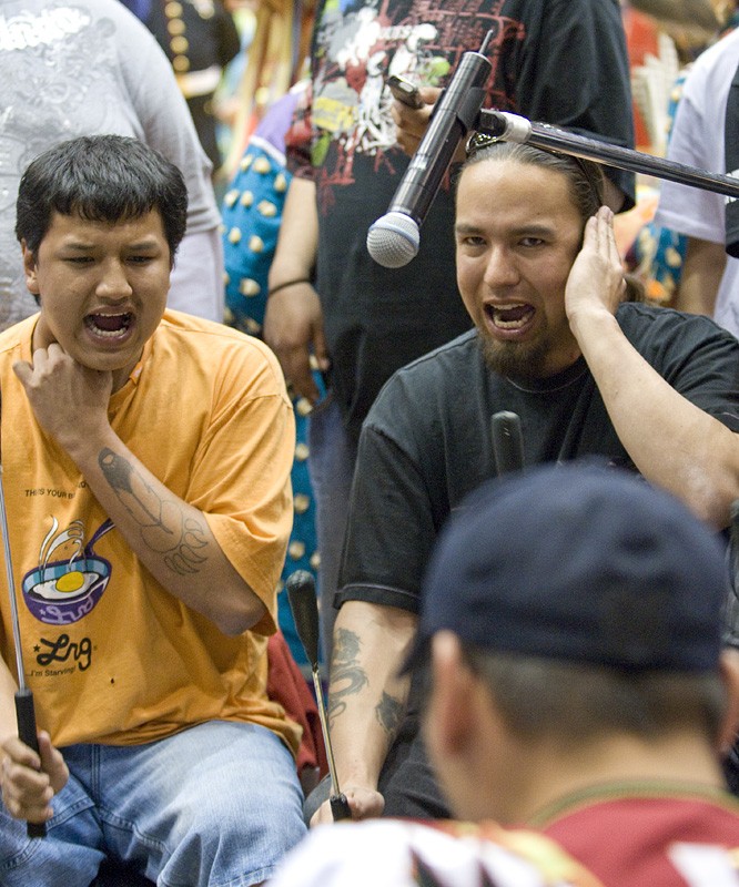
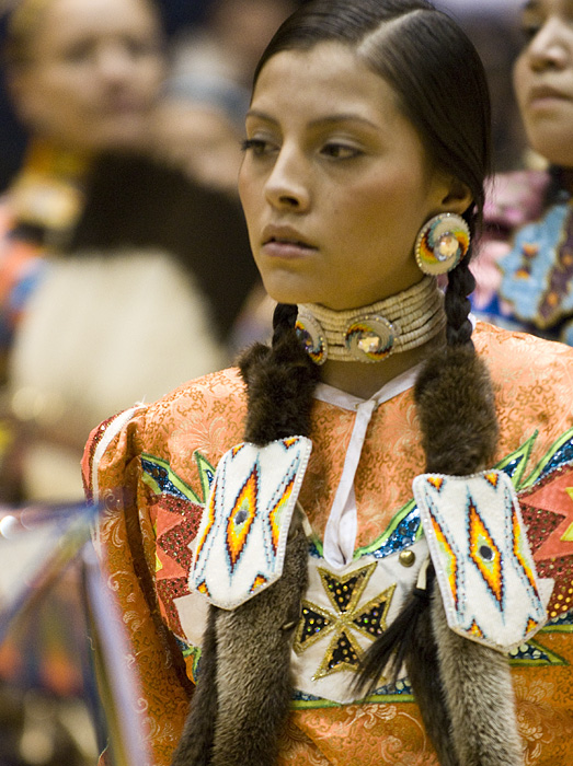
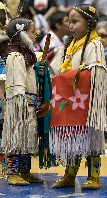
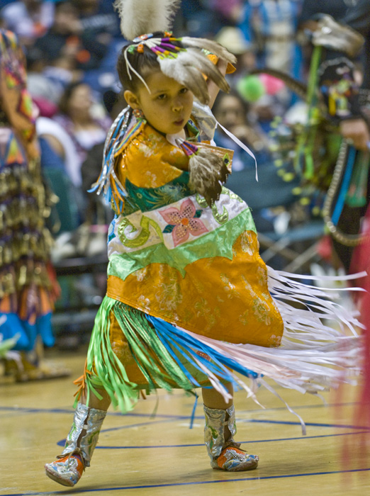
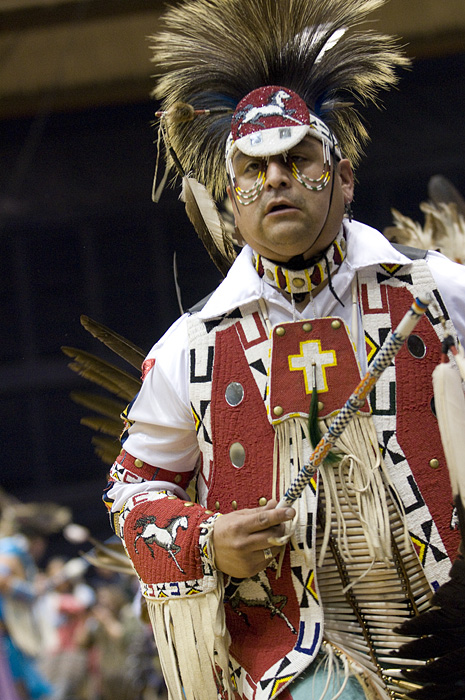
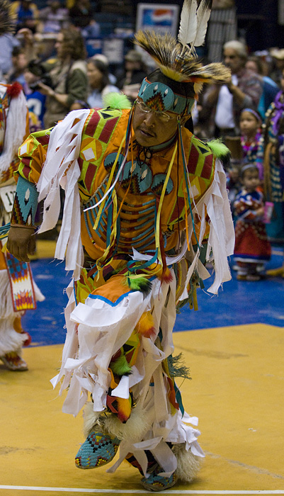
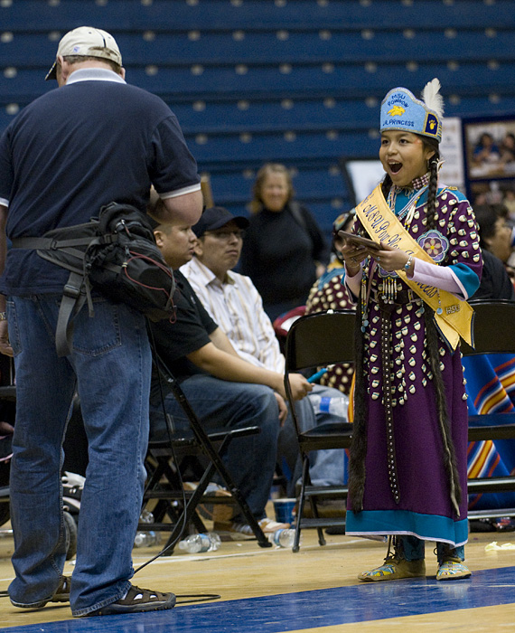
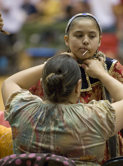
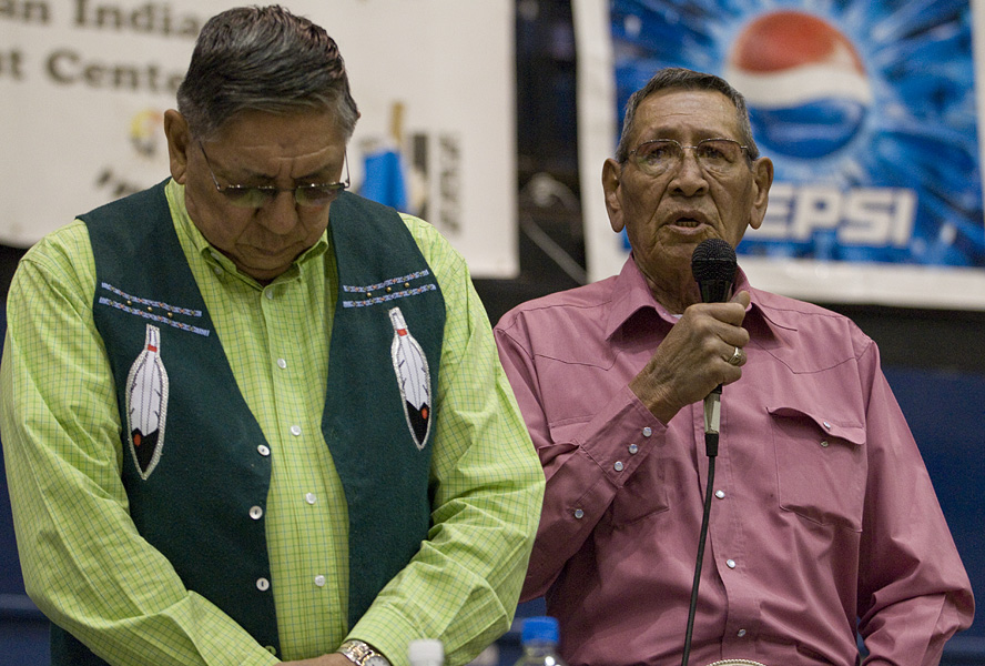
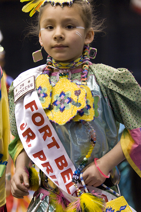
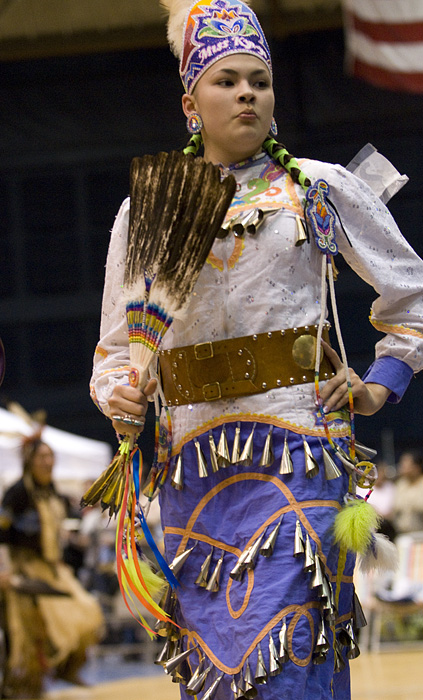
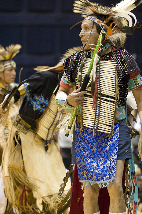
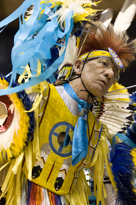
Bozeman Pow Wow Kids

Apr 26th 2009 — Bozeman,Montana — 8:53 pm

MSU Pow Wow MSU Pow Wow MSU Pow Wow MSU Pow Wow MSU Pow Wow MSU Pow Wow MSU Pow Wow MSU Pow Wow MSU Pow Wow

MSU Bozeman Pow-Wow April 2009

Apr 22nd 2009 — Bozeman,Montana — 10:02 pm

More pictures from the Bozeman Pow Wow.

MSU Pow Wow MSU Pow Wow MSU Pow Wow MSU Pow Wow MSU Pow Wow MSU Pow Wow MSU Pow Wow MSU Pow Wow MSU Pow Wow

2009 American Indian Council of MSU Pow-Wow

Apr 20th 2009 — Bozeman,Montana — 8:50 pm

I was lucky enough to be able to go over to the American Indian Council Pow Wow at the Fieldhouse at Montana State University on Sunday. I took a lot of pictures and here are a few.

American Indian Council of MSU Pow Wow American Indian Council of MSU Pow Wow American Indian Council of MSU Pow Wow American Indian Council of MSU Pow Wow American Indian Council of MSU Pow Wow American Indian Council of MSU Pow Wow American Indian Council of MSU Pow Wow American Indian Council of MSU Pow Wow American Indian Council of MSU Pow Wow

Moab to Missoula through Capital Reef National Park

Apr 13th 2009 — National Parks,Utah — 10:44 pm

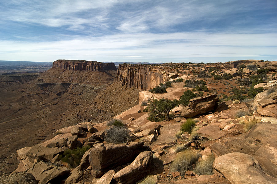
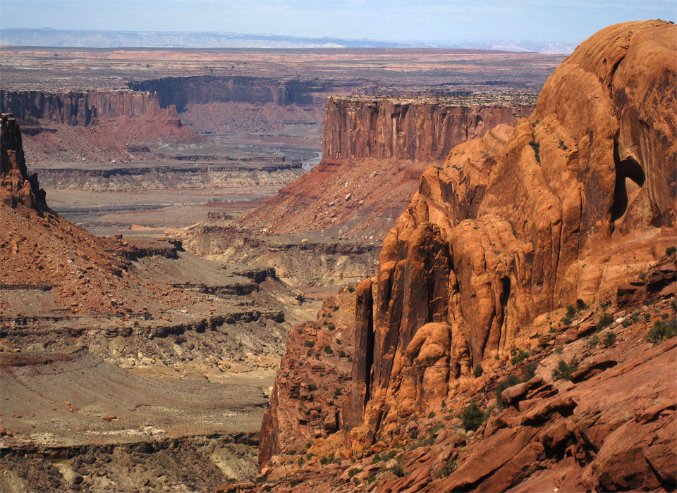
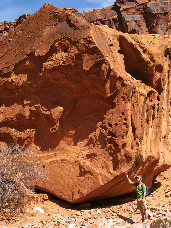
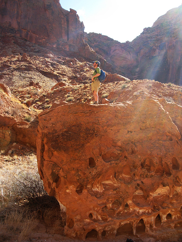
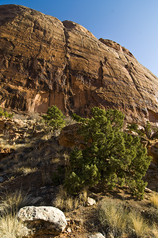
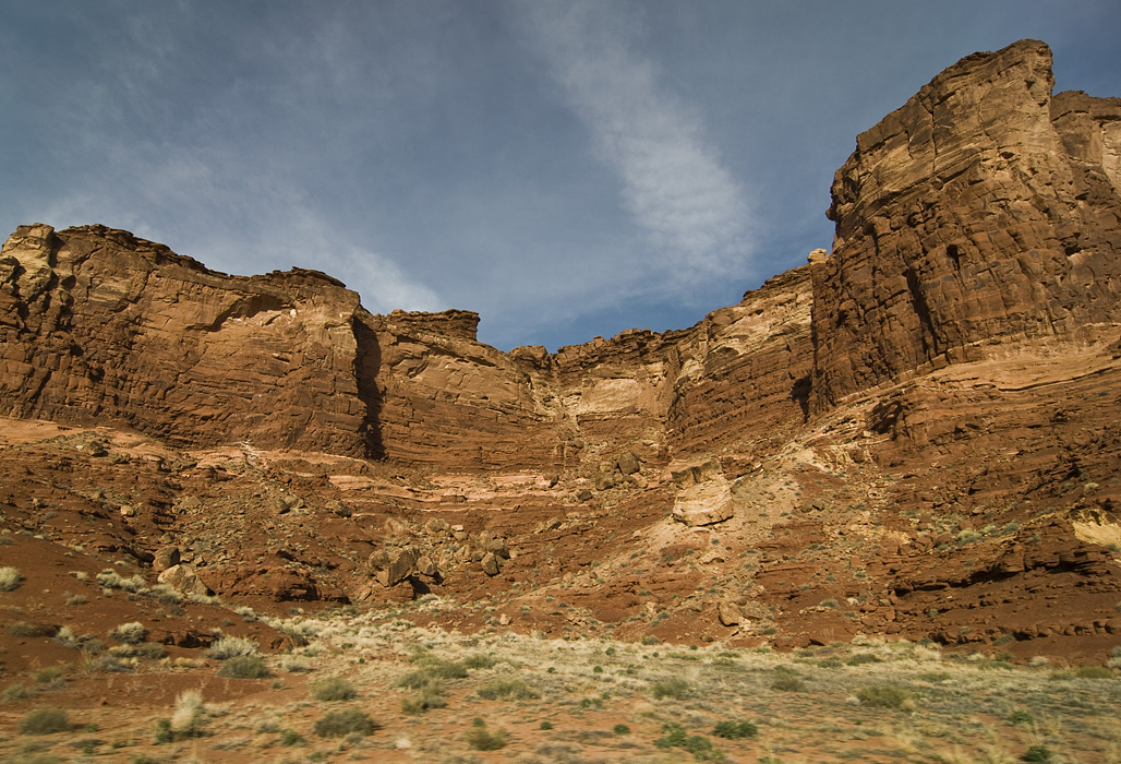
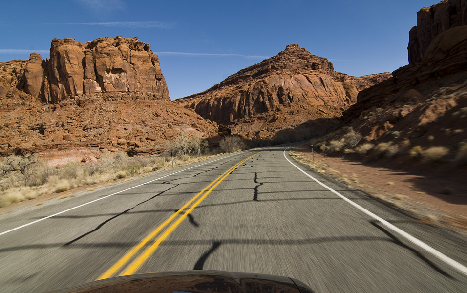
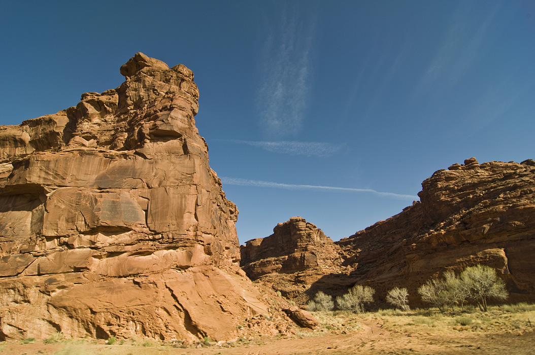
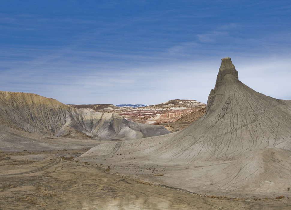
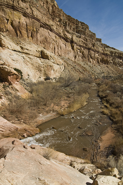
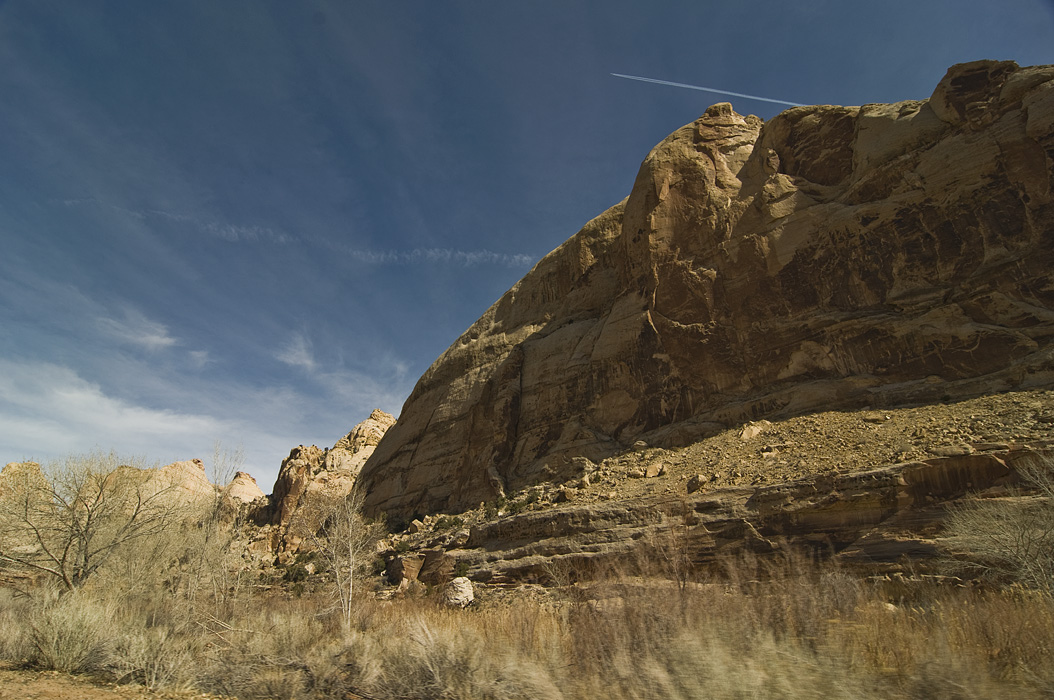
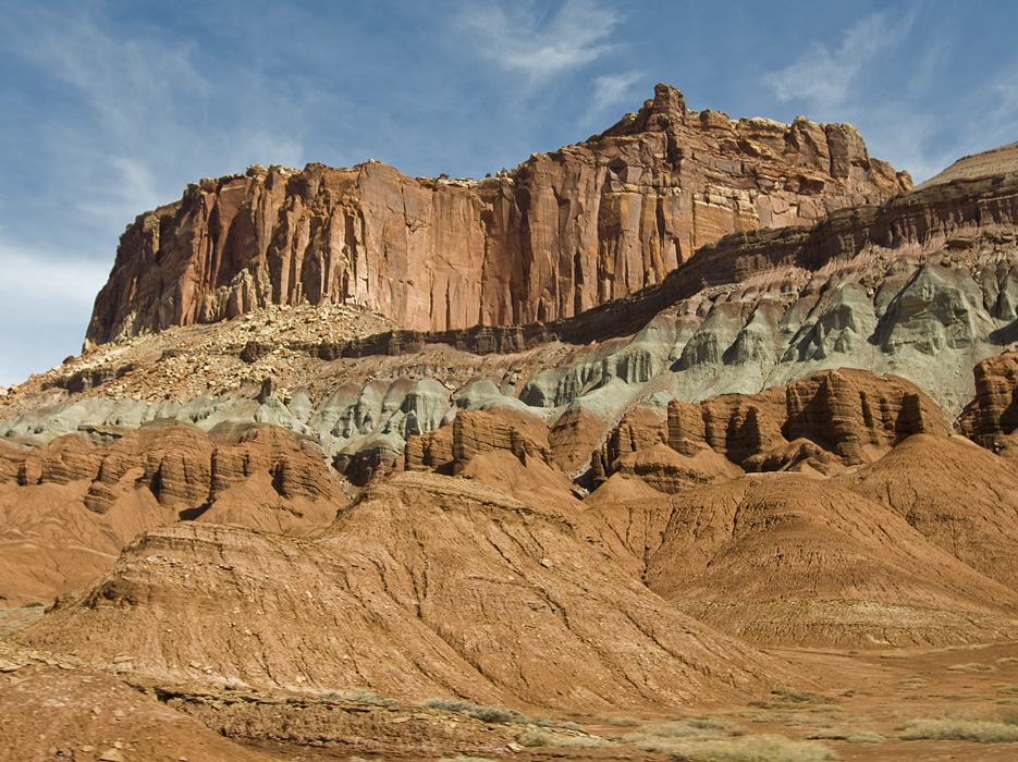
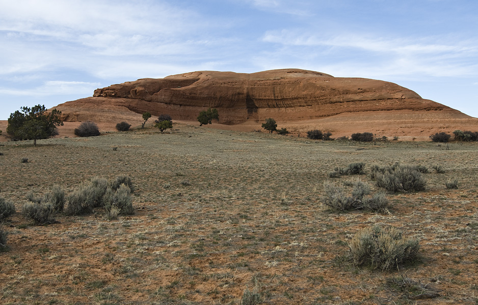
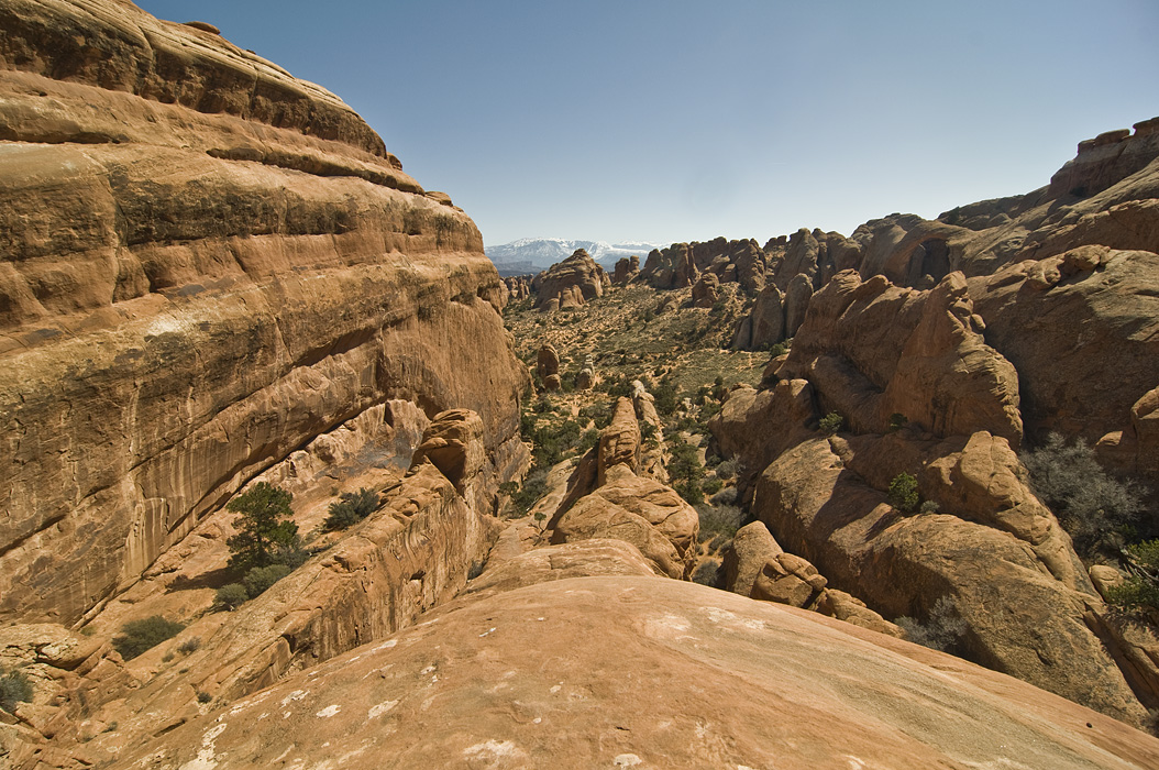
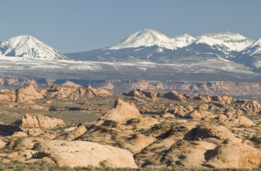
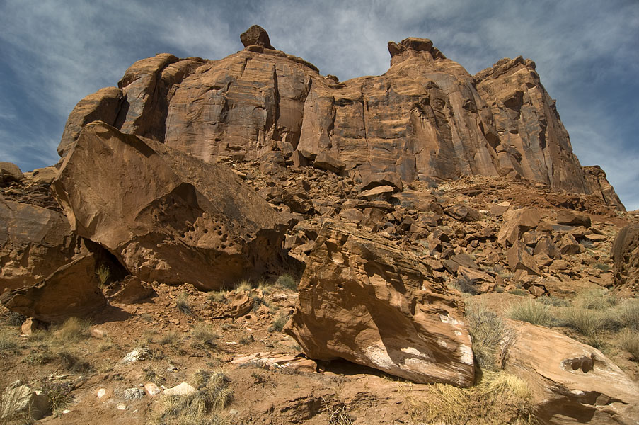
On the way back we decided to take the scenic route, went south on 191, and then cut west on highway 95. The drive was a part of Utah I had never seen. You go across the Colorado River at the very start of Lake Powell, through the Glen Canyon Recreation Area. Then you drive a little through Capital Reef National Park. Much of the drive was characterized by tall cliffs on either side as you are following various rivers as they cut their way through the the landscape.

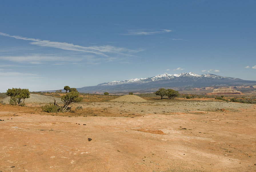
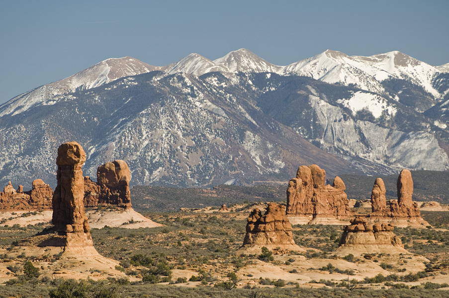
The scenic route was our goodbye to the Southwestern landscape as approaching Salt Lake City the red and orange cliffs are replaced by urban sprawl and the snow-covered Wasatch Mountains. Our decision not to backtrack turned what was probably a 12 hour drive to Missoula into a 16 hour one.

The Landscape Cliffs The Road Cliffs 4 Wheel Playground River Cliffsand Trees Cliffs Cliffs

Biking Canyonlands National Park

Apr 12th 2009 — Biking,Canyonlands,Utah — 10:12 pm

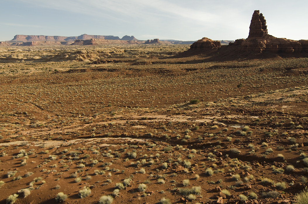
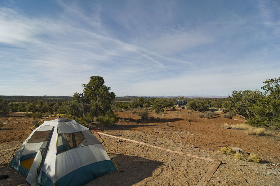
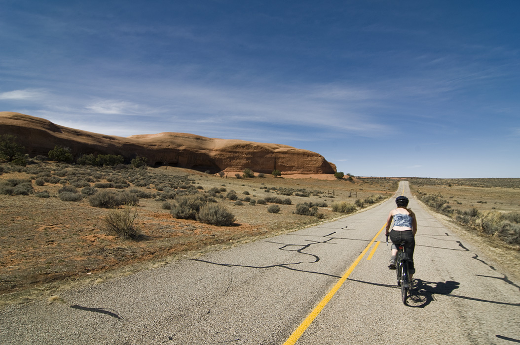
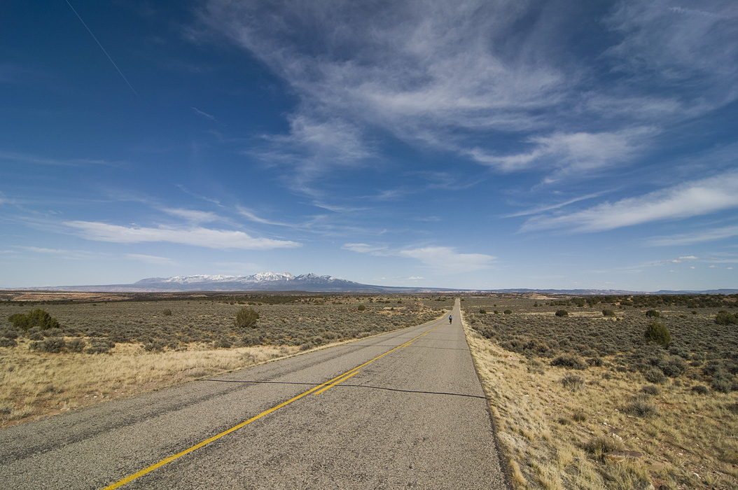
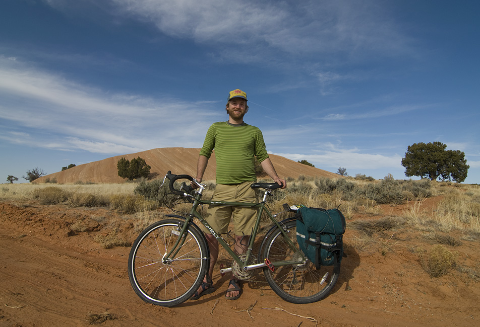
The last day we were back on our bikes. We drove about 60 miles south of Moab into the Needles area of Canyonlands. I was amazed at how deserted the road was. I didn’t think roads like that existed in the United States. We probably saw four or so cars total in a span of many hours.

Hil Starting La Sal Mountains At the turnaround Sign Looking Down Downhill Rock Me Rock Again

Hiking Arches National Park

Apr 12th 2009 — Arches — 12:15 am

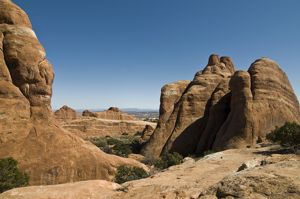
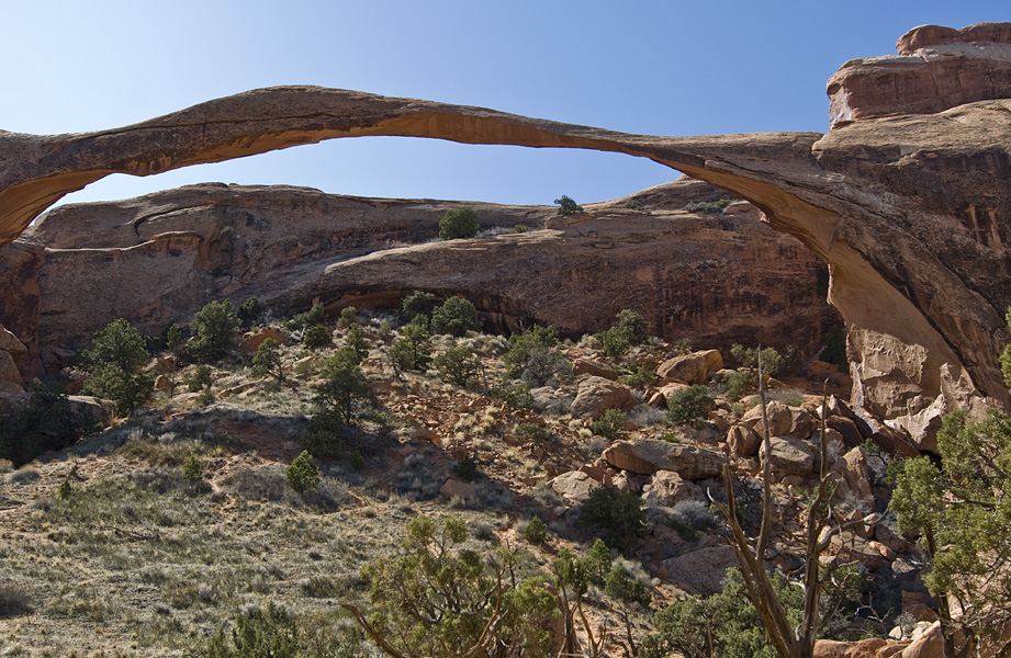
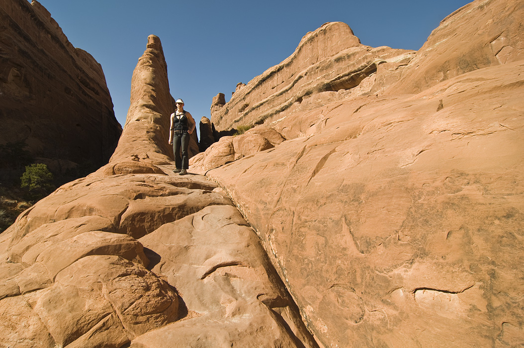
Arches National Park is a pretty special place. Edward Abbey was onto something.

Fins Landscape Arch Walking Up Fin More Fins Hil Walking Double Arch Hilary on Fin Sa Sal Mountains Ancient Dunes

More Upheaval Dome

Apr 9th 2009 — Canyonlands — 9:37 pm

Featuring pictures by guest photographer Hilary.

Going Down Michael Rock Michael on Rock White Road Cliff and Bush Hil Yawn

Upheaval Dome Hike

Apr 8th 2009 — Canyonlands — 8:58 pm

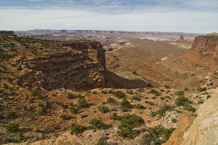
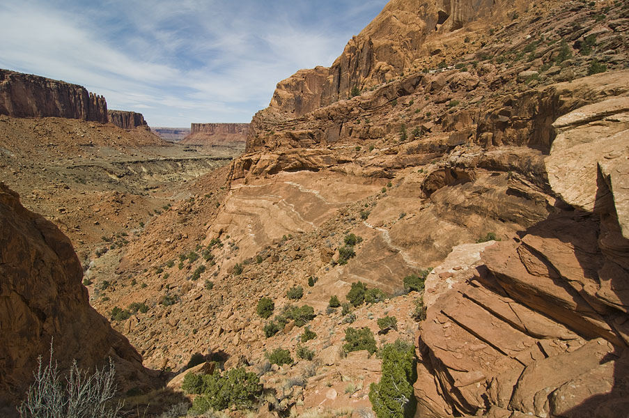
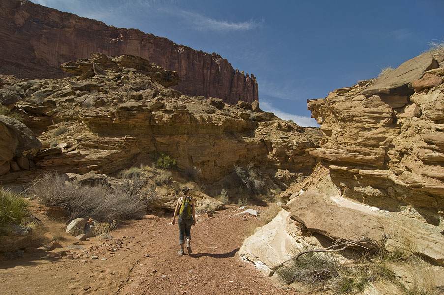
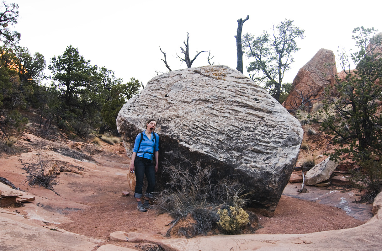
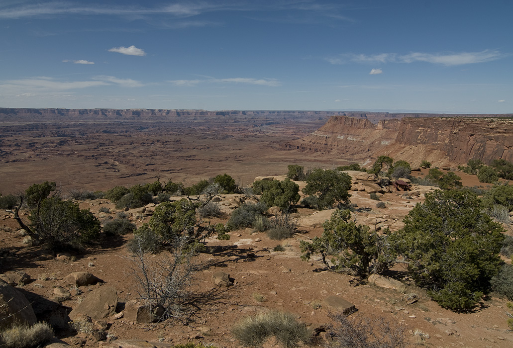
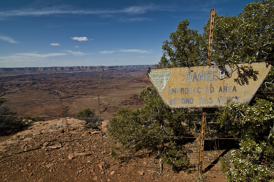
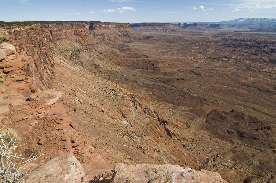
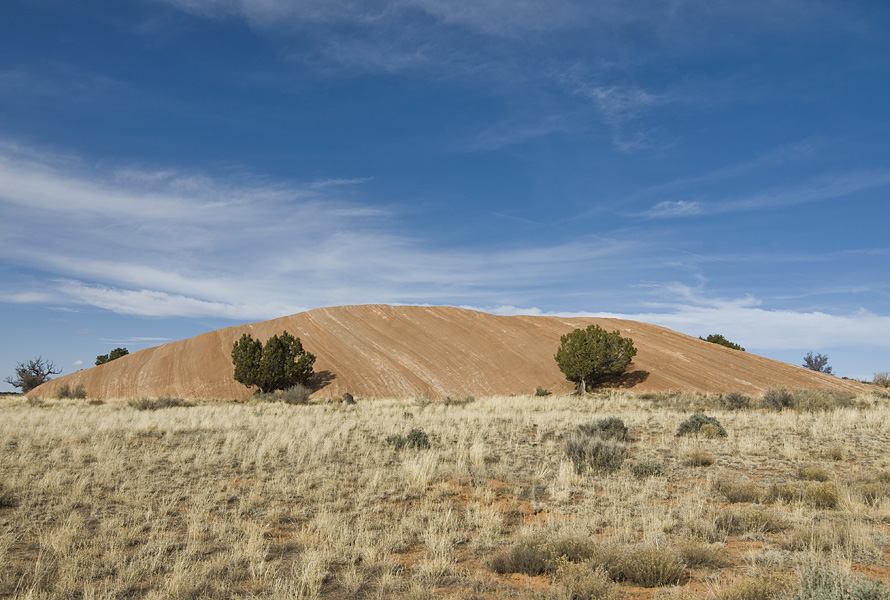
Upheaval Dome actually has a bit of an interesting geologic story. Scientists aren’t sure if it was created by a volcano or a meteorite strike.

dsc_6916 dsc_6925 Hilary Modeling dsc_6955 The Wash The Trail Hil Climbing The Canyon Coming Out

Canyonlands National Park

Apr 7th 2009 — Canyonlands — 10:49 pm

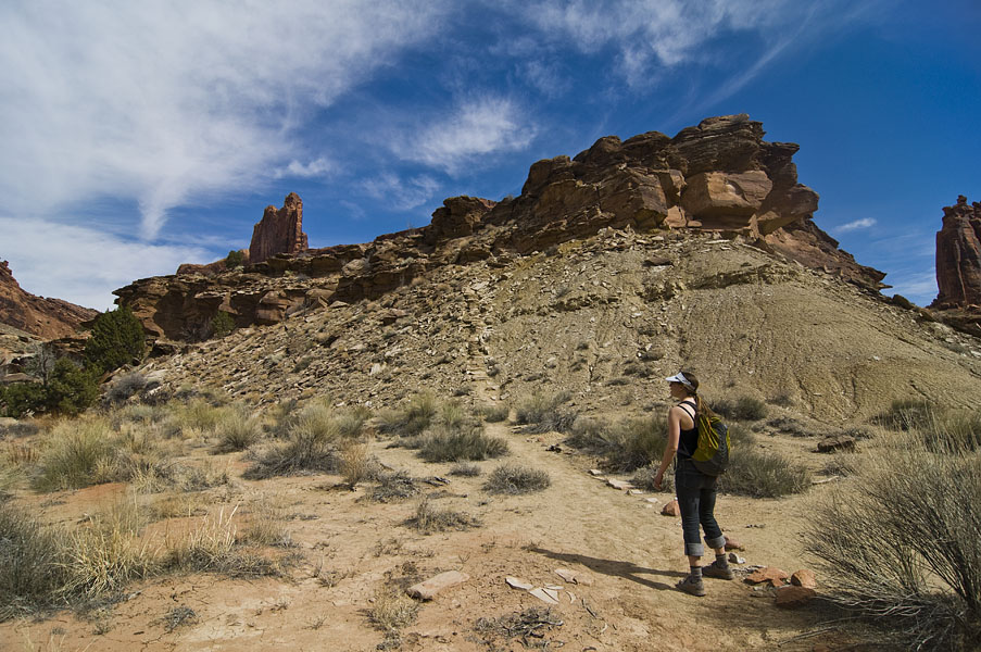
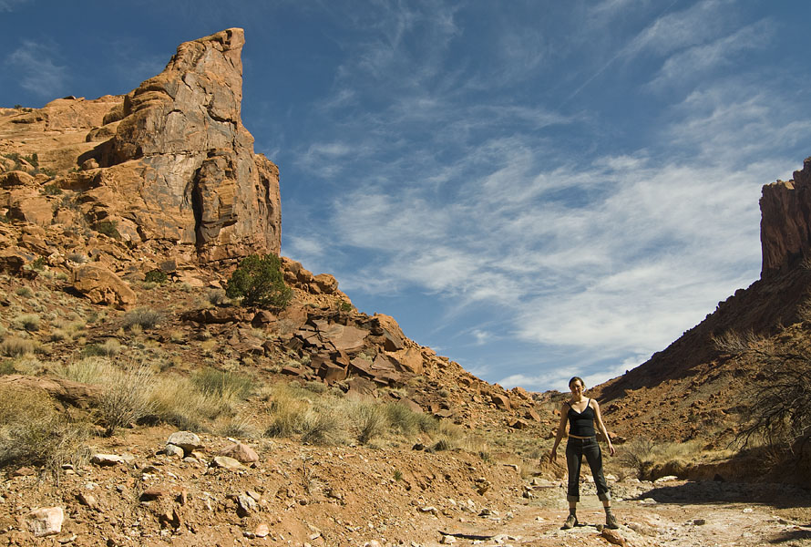
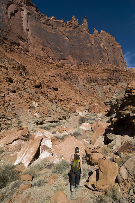
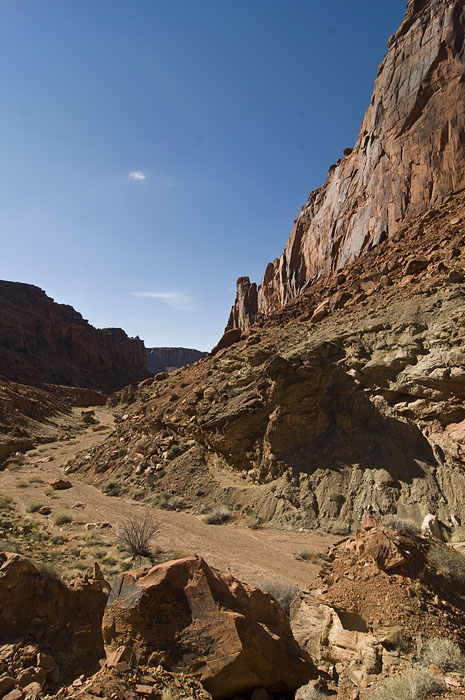
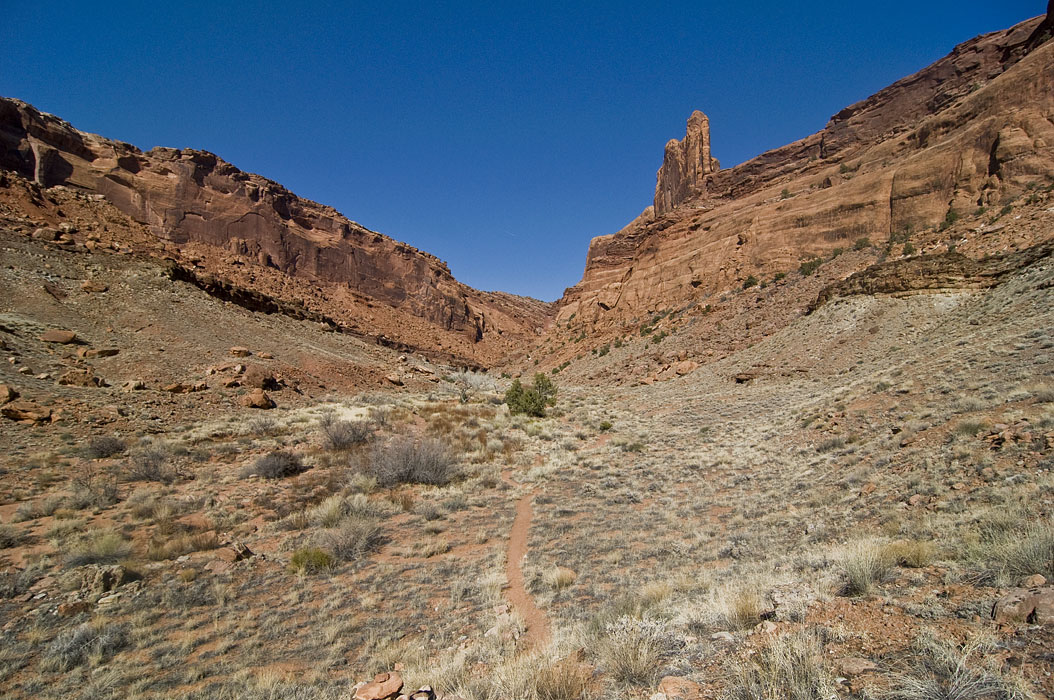
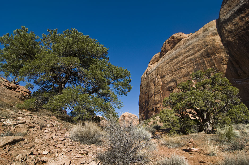
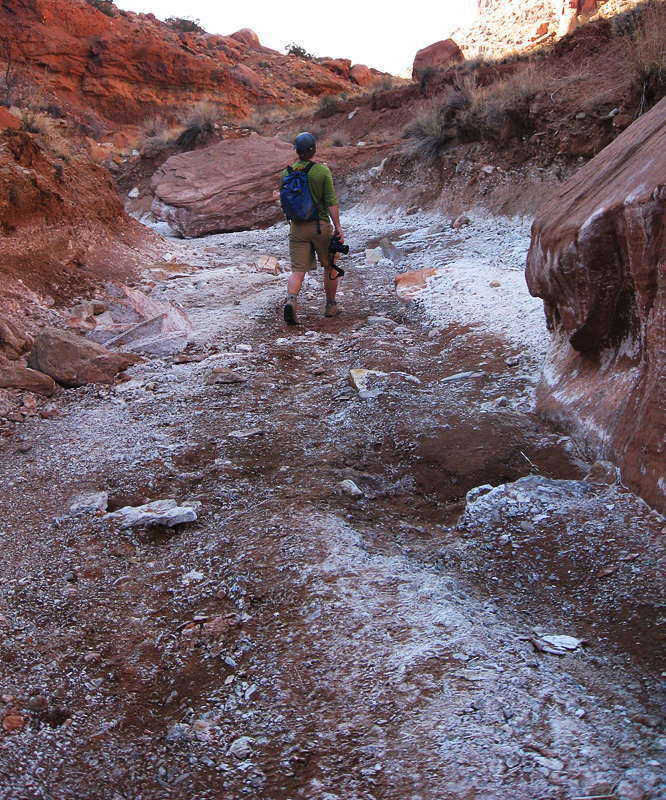
Going back to Moab almost a month ago…..The second day there we headed over to Canyonlands National Park and did an 11 mile hike around this giant, exploded volcano looking feature called Upheaval Dome. The hike really ended up kicking our butts. We started around noon and didn’t get back to the car until 8 or so.

dsc_6852 dsc_6855_1 dsc_6868 dsc_6876 dsc_6897 dsc_6902

This work is licensed under a Creative Commons Attribution-Noncommercial-Share Alike 3.0 Unported License.
(c) 2024 michaelsulock.com