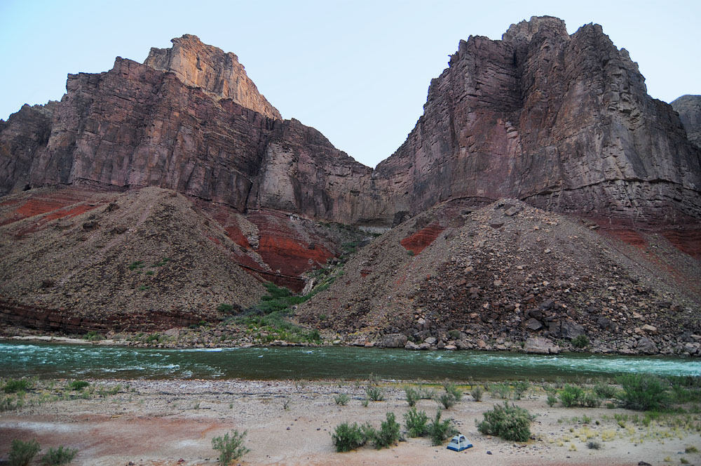
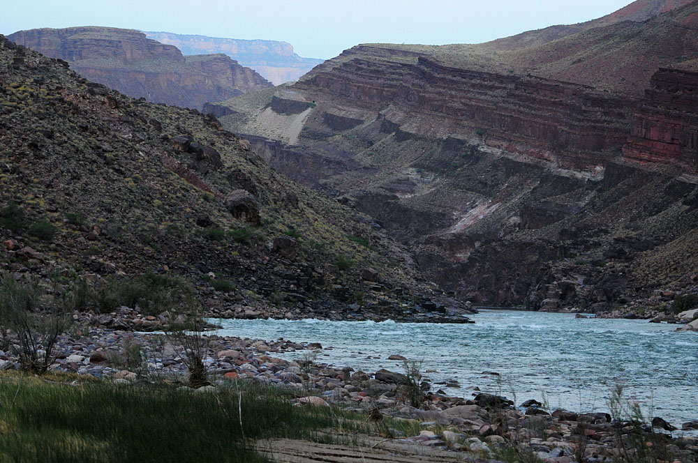
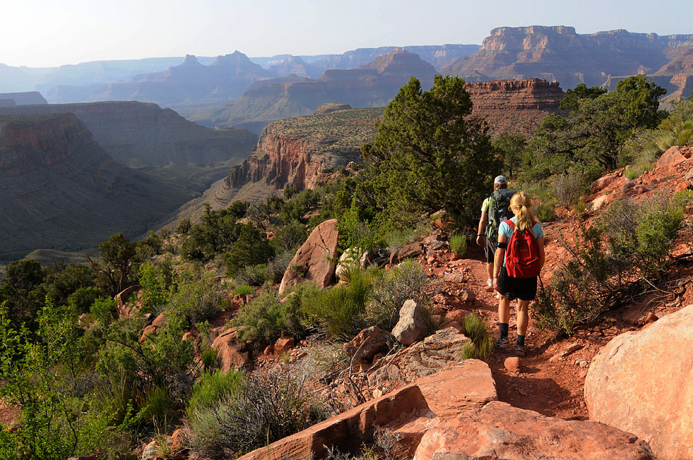
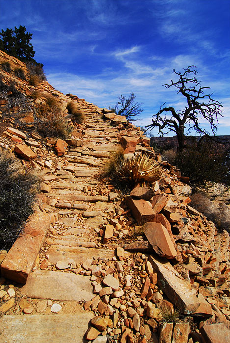
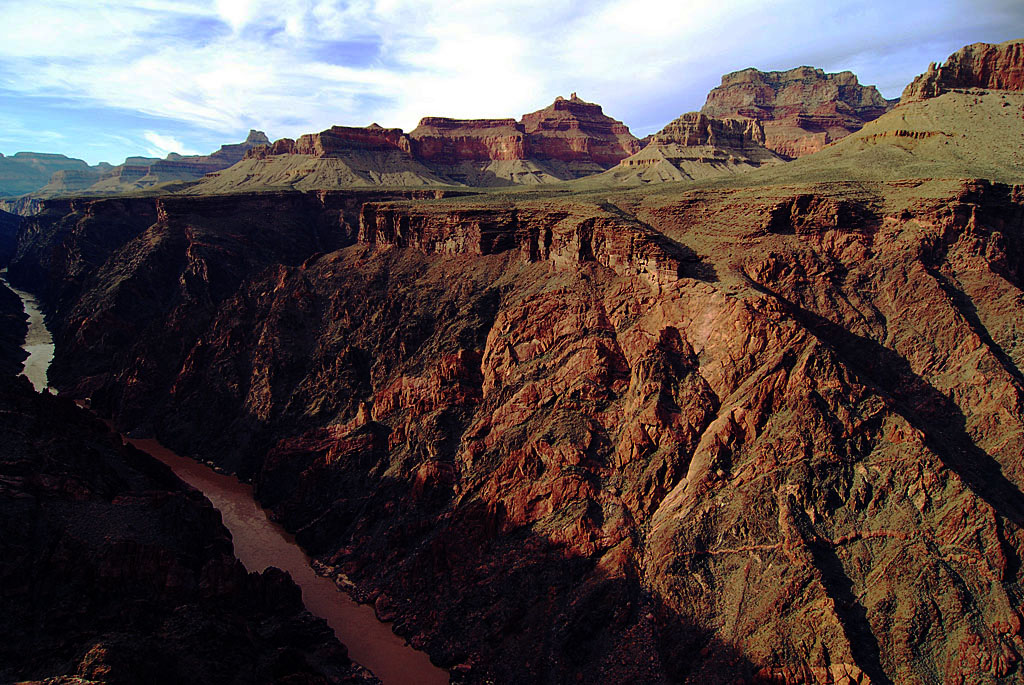
Up the New Hance Trail

May 20th 2008 — Grand Canyon,National Parks — 11:24 pm

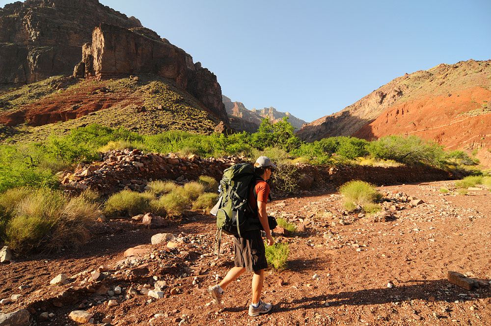
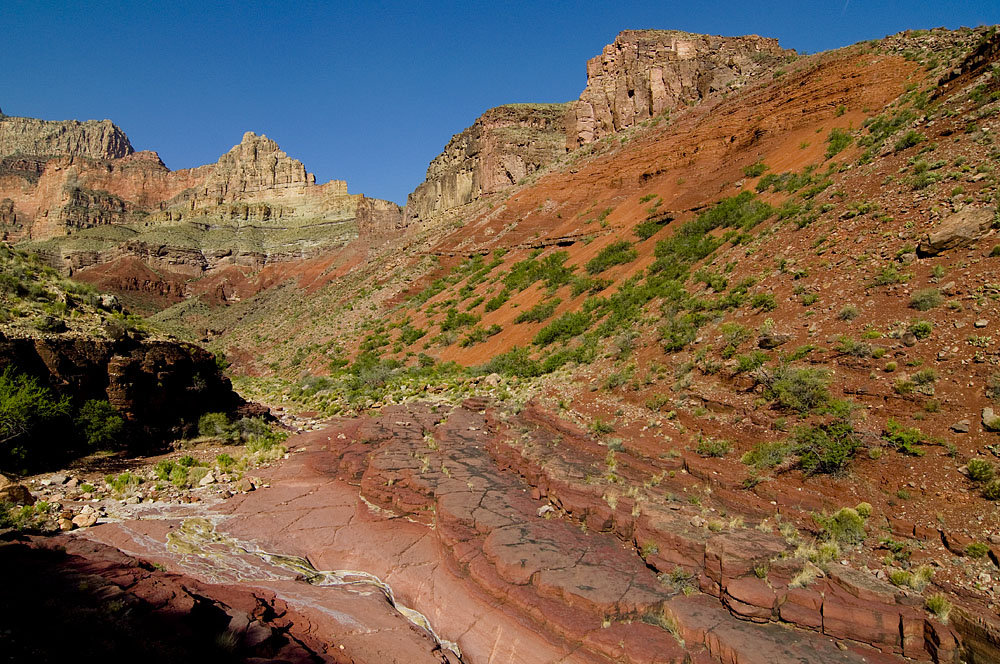
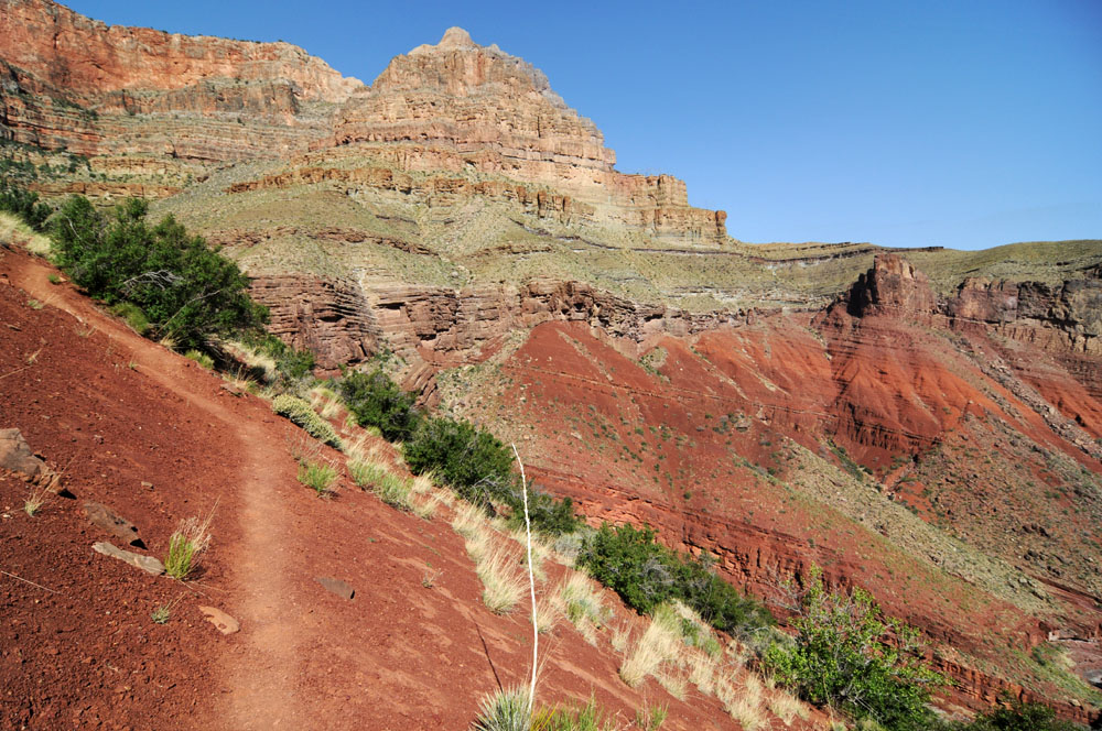
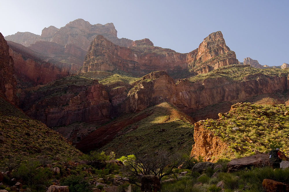
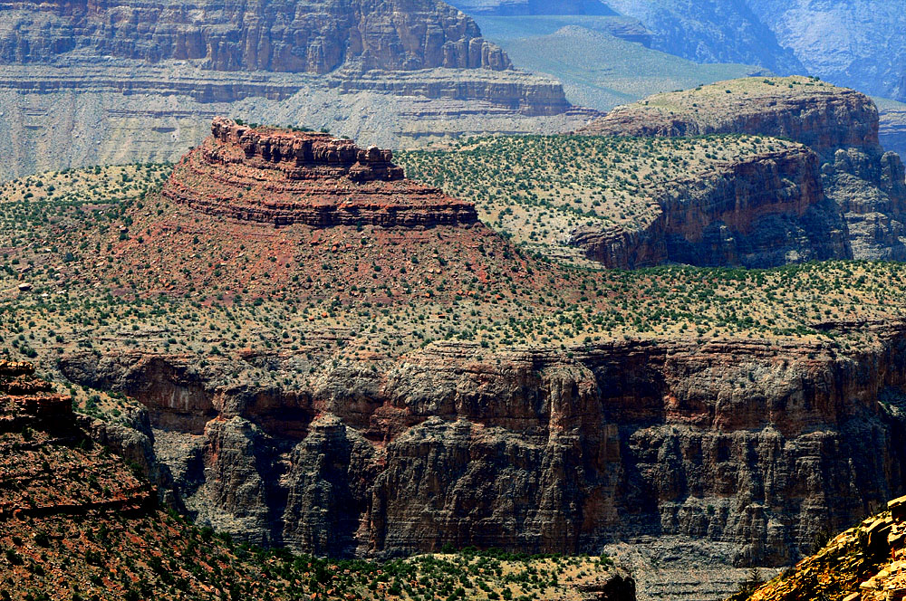
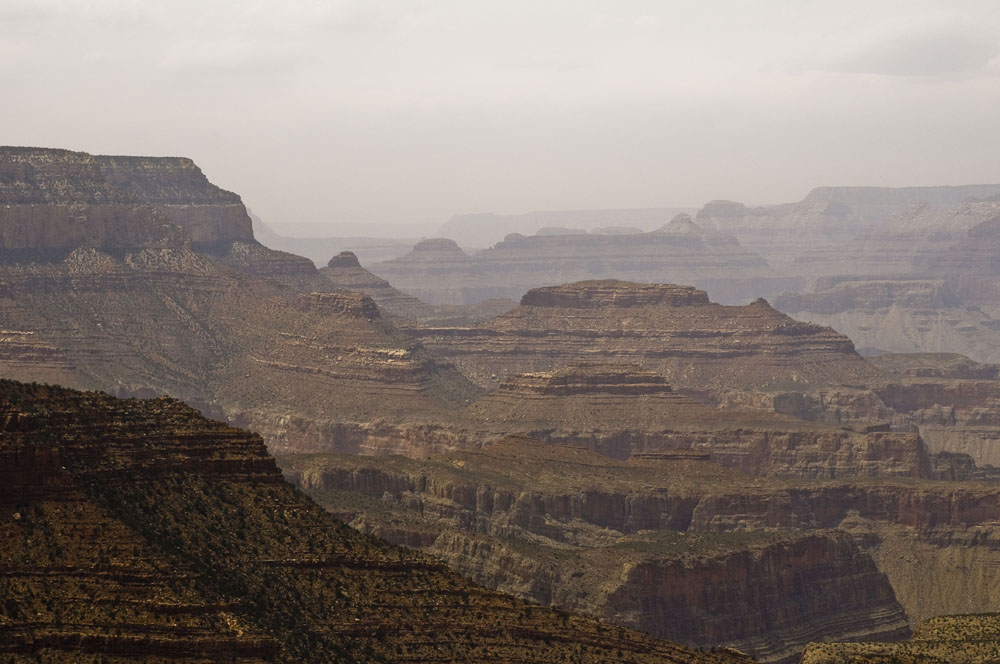
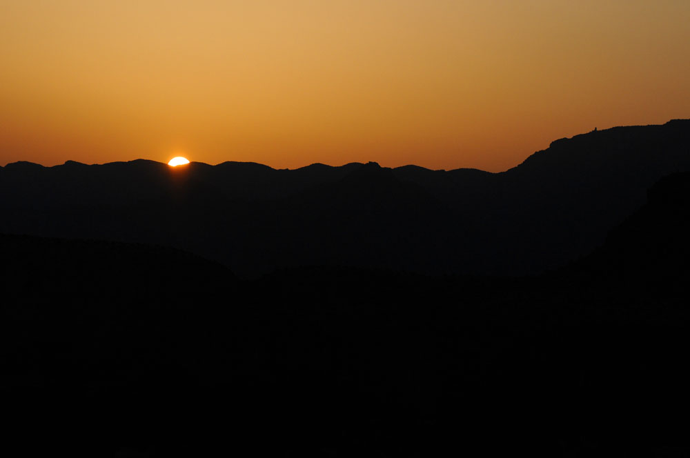
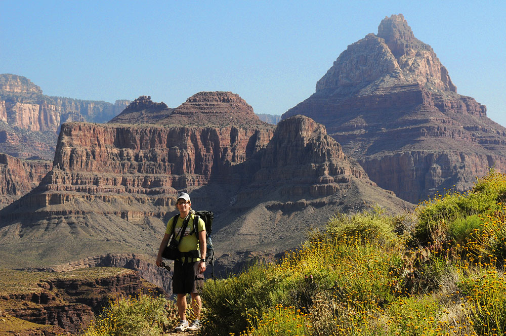
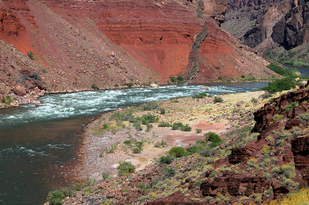
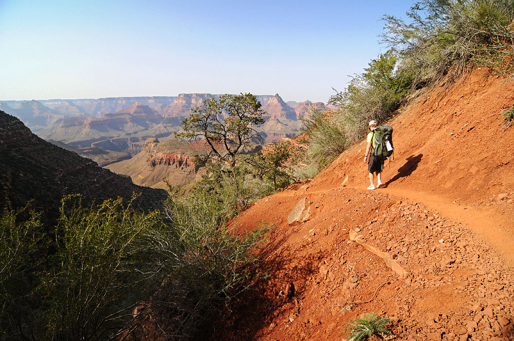
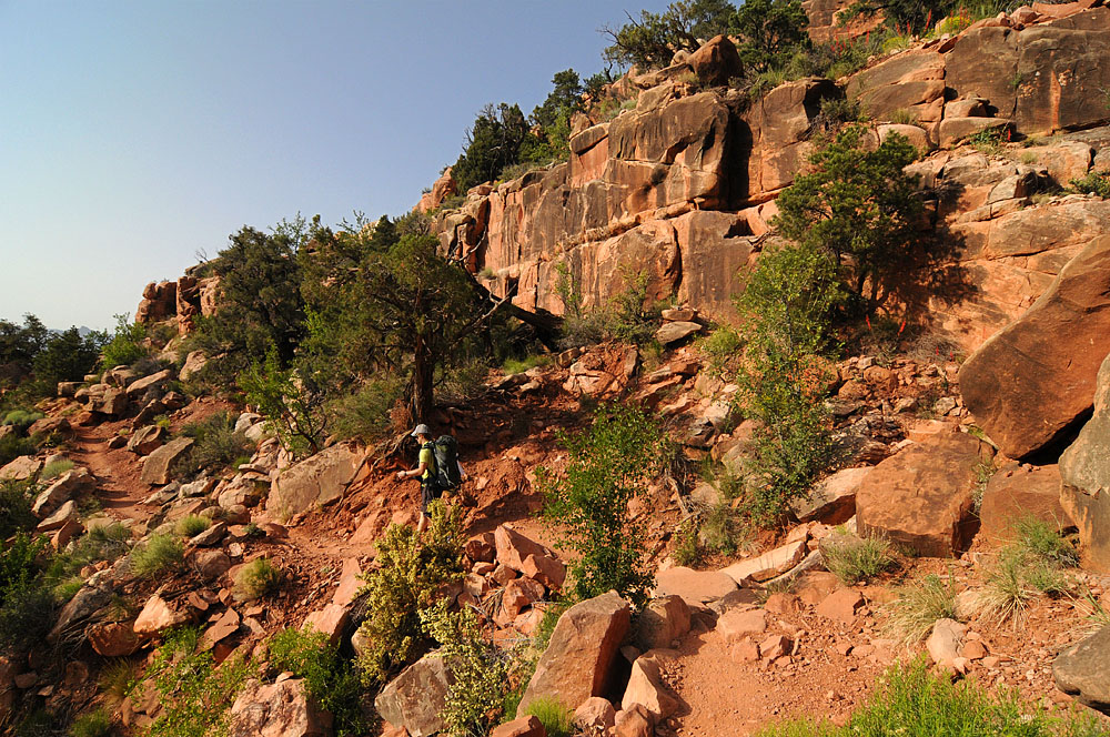
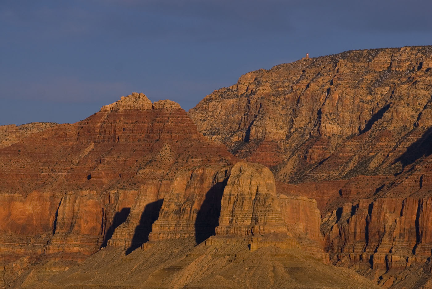
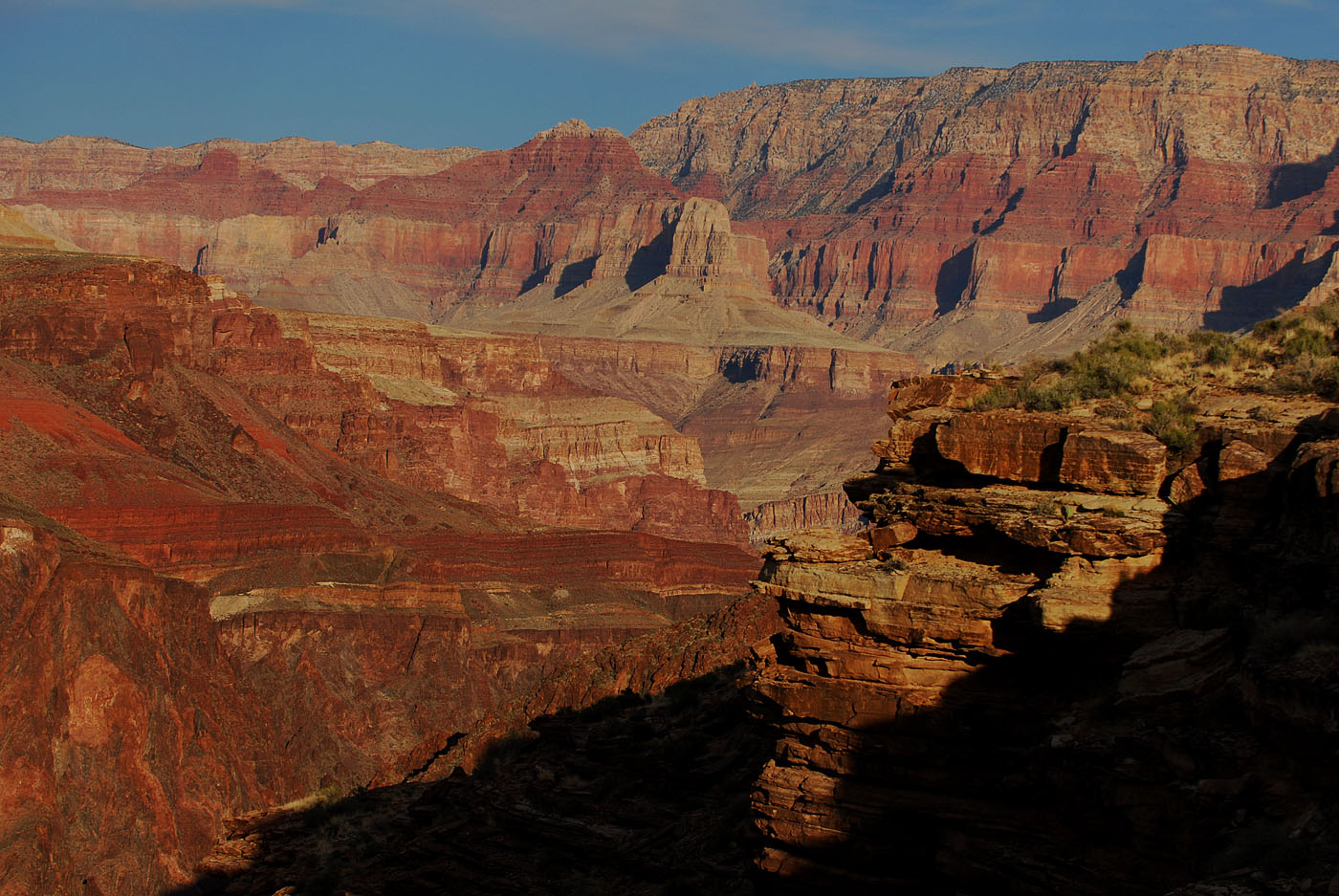
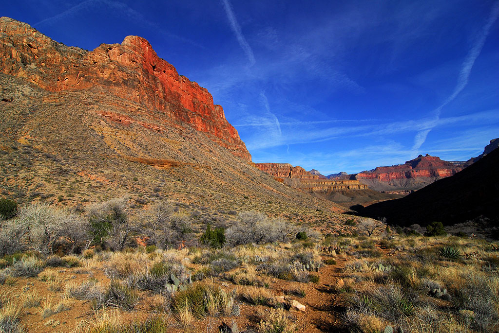
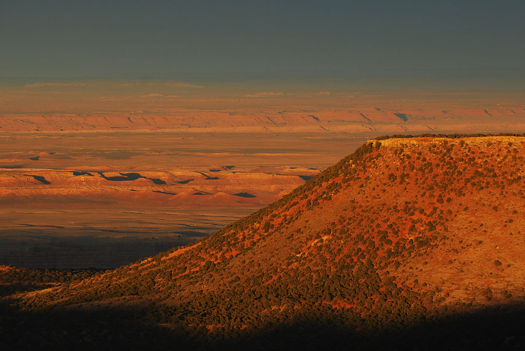
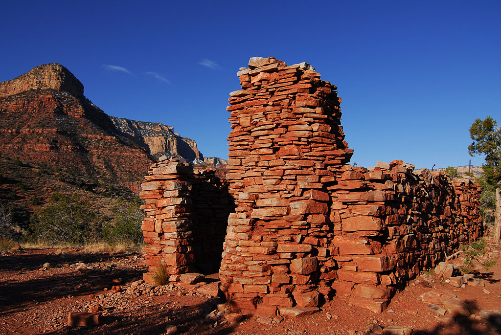
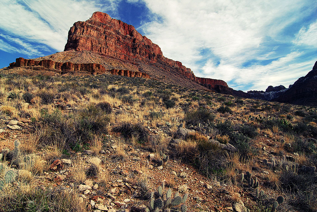
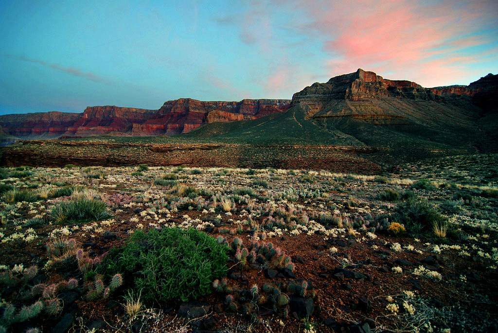
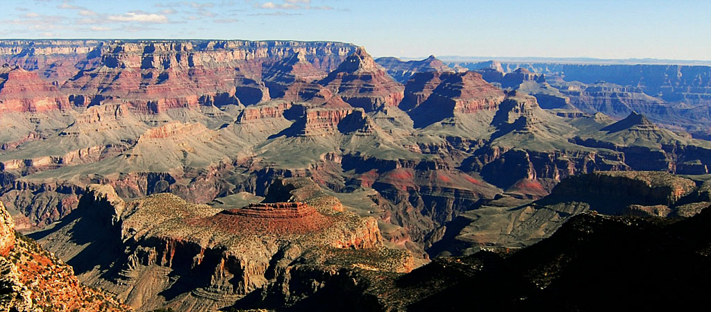
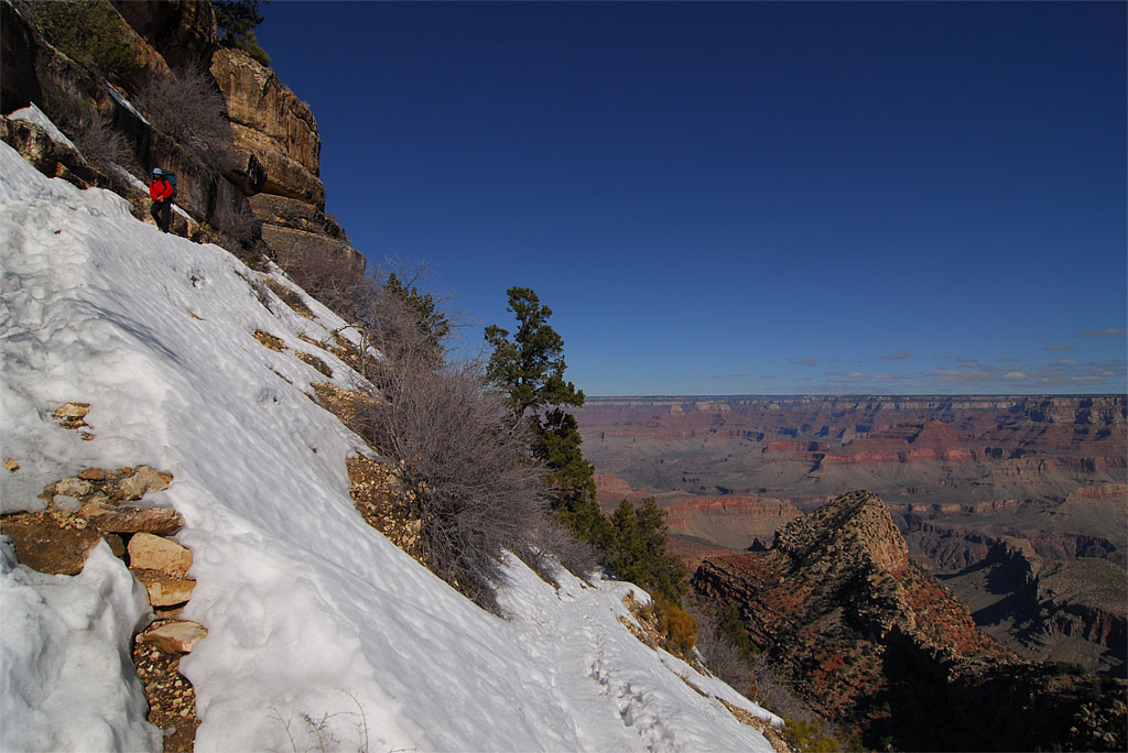
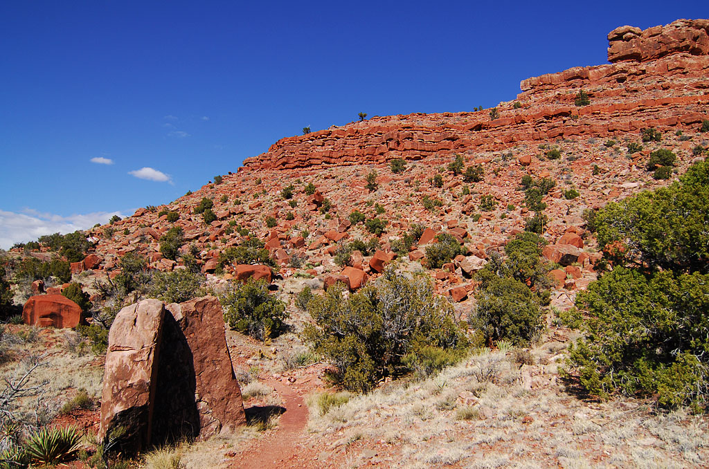
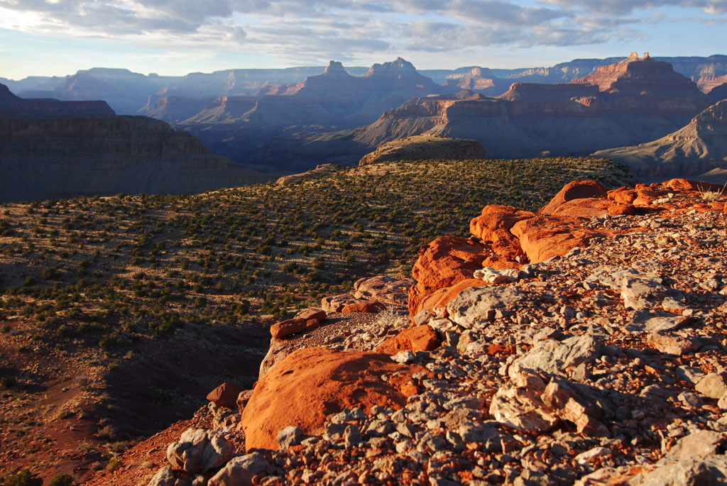
Our last day in the Grand Canyon involved starting at the river and climbing up the New Hance Trail to the rim. The first half is completely open without a lot of vegetation and the last is through what constitutes a forest in the Southwest. It was also one of the more rugged trails we encountered during our entire trip, especially as you got closer to the rim. We passed a couple of parties on their way down that really seemed to be struggling. Including an older gentlemen with a decent amount of dried blood on his arm.

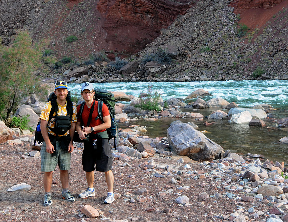
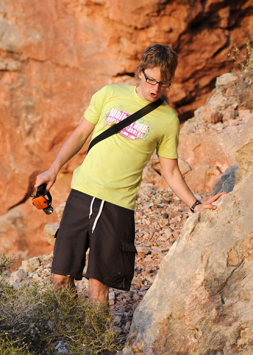
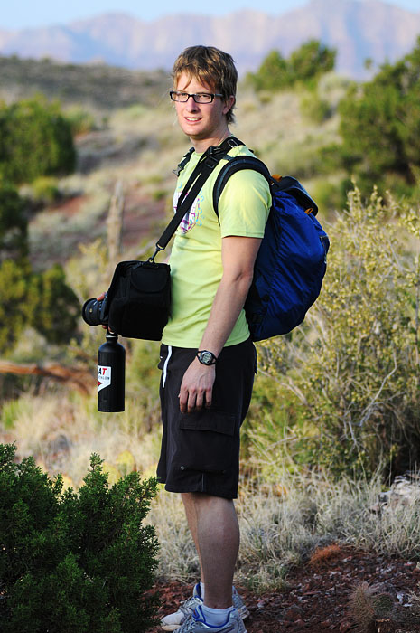
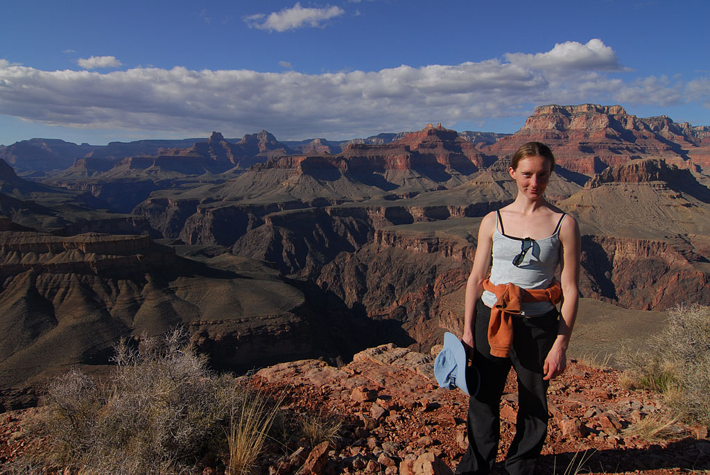
On a separate note, we talked with a fellow down by the river who volunteered to take our picture. He was certainly friendly, although he was convinced we were grossly unprepared for the hike out, with only 7 liters of water between the 2 of us. He said he had 5 liters just for him coming down and ran out. We showed him up by ending up on the rim with more than a liter to spare.

Aslo, Davy found his description of the hike out as “fucking brutal” quite amusing, and it became an often repeated phrase. It wasn’t that it was the easiest hike in the world, but it wasn’t the Ho Chi Minh either (I’m assuming that would be really hard) We were done around 1 in the afternoon. .

Campsite Down River Intrepid Explorers Davy Hiking Out Red Canyon Purple Flowers Red Canyon Backlit Walls Horshoe Mesa Down Canyon Rock White Flower

To the Colorado River

May 19th 2008 — Grand Canyon,National Parks — 11:00 pm

The hike from Horseshoe Mesa to the river was really excellent, as if I would have expected anything else. The Kaibab Plateau is an interesting place to hike. You see the trail far ahead winding around a bend, and then in an hour (or more) you’ll actually be there after you weave your way around this fractal pattern of trail with endless side canyons needing to be circumnavigated. All in all we probably saw 4 people that day. It was a long hike, I don’t know how long but after we got to where we were camping moving any extra really summoned some willpower.

Sunrise Miner Thingy Miner’s Spring Walking Back To Trail Happy Bees Dragonfly Davy Lizard Cactus Flower Colorado River and Hance Rapids Rapids Plants By River

Onto Horshoe Mesa

May 19th 2008 — Grand Canyon,National Parks — 10:30 am

I was wrong about how far we got the first day, we actually stayed that night in Arizona. We made it to the Grand Canyon around noon or so and went to the Backcountry Office to try to get a permit. The woman there was quite helpful and we got a permit for 2 nights.

The plan was to to hike down to Horseshoe Mesa via the Grandview Trail once we packed our bags. (I’d been to Horseshoe Mesa over spring break). The next day involved hiking down the east side of the Mesa (all new territory for me now), onto the Kaibab Plateau, upriver and down the canyon ending near the Hance Rapids on the Colorado River. The third day was planned as hiking from the river to the rim via the New Hance Trail.

Spring Break the Grandview Trail was covered in snow and ice and made for a hella scary hike. This time everything was totally dry and that made the goings quite nice. It was a mild hike to the mesa and we had time to explore some. We went into the Cave of the domes but didn’t make it to the signatures as Ghostbag hindered our progress.

Signs Davy Hiking Grand Canyon Flowers Davy Hiking 2 Onto Horshoe Mesa Davy

Grand Canyon Revisited- Desert View

Apr 2nd 2008 — Grand Canyon,National Parks — 9:50 pm

Bozeman is cold and soggy with half-melted snow so here are more pictures from spring break.

The last place we saw in the Grand Canyon was Desert View. It is the first overlook coming from the east. Stopping there was almost an afterthought as I’ve been to the Grand Canyon twice before but never considered this area interesting enough to warrant a stop. It turned out to be a pleasant surprise as the tower itself was a remarkable building and the view of the end of the widest part of canyon was nice as well. (Unlike those other cruddy Grand Canyon views.)

The last two pictures are from hiking in the canyon looking up at the tower sitting on the rim. It is easy to have no idea of scale when you are looking at giant things that are far away.

Looking East (ish) Cliffs to the East Looking West (ish) Watchtower Sign Watchtower Watchtower 2 Watchtower from below Watchtower from below 2

From Cottonwood Creek to Kaibab National Forest

Mar 19th 2008 — Grand Canyon,National Parks — 6:47 pm

Having camped at Cottonwood Creek, we packed up and started the hike back out of the canyon. . We hiked back up to Horseshoe Mesa and back to the rim by way of the Grandview Trail.

Happy to have navigated the snow covered cliffsides we stopped at Desert View Point to watch the sunset. Not much was happening as the sun was trapped by a big mean cloud, but patience paid off and the last several minutes before it dipped below the horizon made us glad we waited around.

We drove a short ways out of the part and camped in the Kaibab National Forest. The free and solitary camping in national forests has been one of my favorite discoveries of traveling in the west.

The plan for the next day was to drive to Bryce Canyon by way of the Glen Canyon Dam.

Cottonwood Creek Toilets Miner Cobblestone Grandview Trailhead Sign Grandview Trailhead Sign 2 Colorado River Looking East from Desert View Desert View Watchtower Kez at Campfire

In the Canyon

Mar 18th 2008 — Grand Canyon,National Parks — 5:27 pm

We started the next day on top of Horseshoe Mesa. During the day we made our way off the side of the mesa down to the Kaibab Plateau. The Kaibab is home to the Tonto Trail which you can follow for 70 miles east to west in the middle of the canyon.

We camped that night at Cottonwood Creek, which was doing pretty well due to all the melting snow higher in the canyon. It was a neat place to camp and completely different from where we had stayed the night before.

These pictures are all from that day and are presented in the order they were taken.

Early Morning Miner Cookhouse Yucca Cactus On Kaibab Plateau Looking at Horshoe Mesa Colorado River On Kaibab Plateau Again Near Campsite at Night Cottonwood

The Grandview Trail

Mar 17th 2008 — Grand Canyon,National Parks — 2:24 pm

We camped a night on the rim and the next day went into the Canyon via the Grandview Trail. The top of the trail was snow-covered and steep but after a while things got better. It was an excellent trail with almost no one on it. This was quite a change compared to the heavily-trafficked Bright Angel and South Kaibab Trails I’ve done in past years.

The ranger at the backcountry station where we got the permit had told us about a cave and old abandoned mines near Horseshoe Mesa. We were excited about finding them and definitely managed to do so. I quickly realized that the idea of exploring caves or abandoned mines is much more appealing to me than the actual process.

We found the Cave of the Domes rather easily and explored just enough to see the hundred-year old signatures on the ceiling. Including the quite famous Kolb Brothers , who had a studio right on the rim.

Horseshoe Mesa Grandview Trail Kolb Brothers Miles Brothers Hoist Mining CartHorsehoe Mesa again Looking down on the Mesa Kez and Canyon

Driving Southwest

Mar 16th 2008 — Grand Canyon,National Parks — 9:00 am

We are back in cold Bozeman after a week of almost constant warmth in the Southwest.

It was an excellent trip indeed, and we got to see a lot of really beautiful country.

Here are some of the pictures from the drive down.

Blowing-Snow Our Bar Vermillion Cliffs Rock Colorado River from Navajo Bridge Kez at Overlook Colorado River in the Grand Canyon

This work is licensed under a Creative Commons Attribution-Noncommercial-Share Alike 3.0 Unported License.
(c) 2024 michaelsulock.com