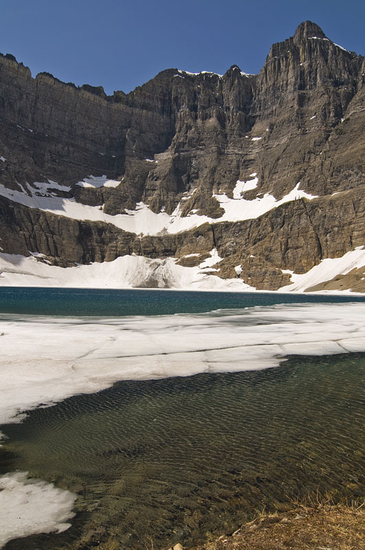
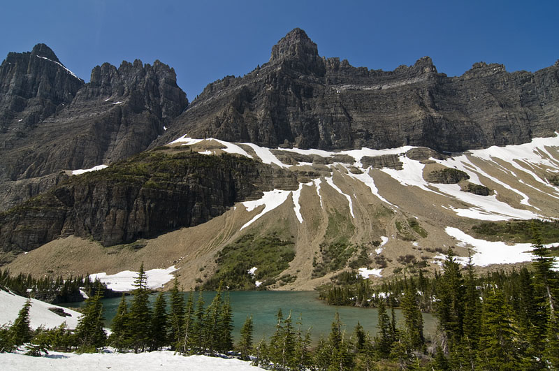
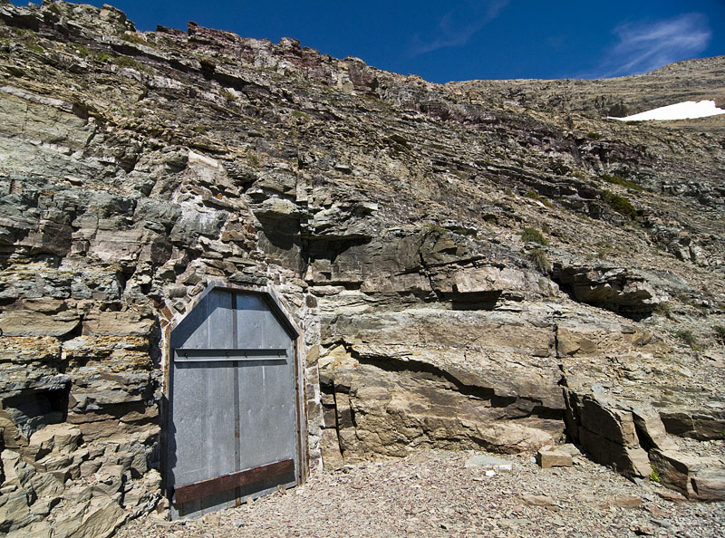
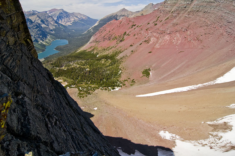
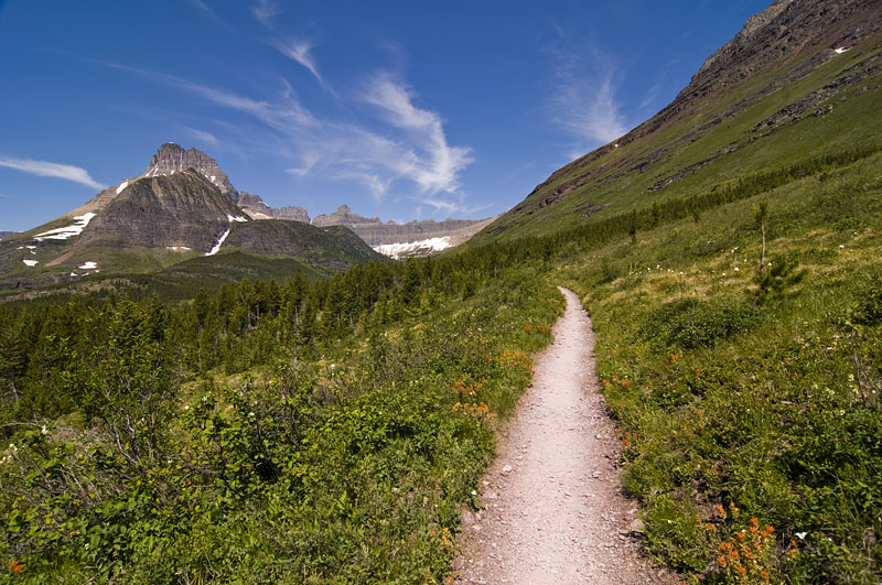
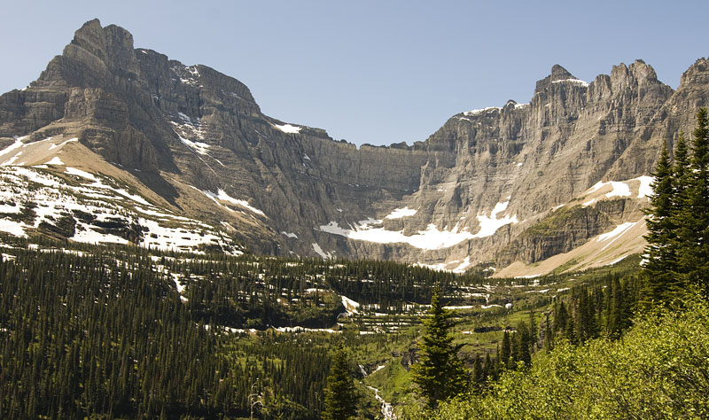
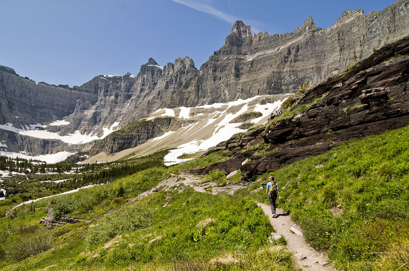
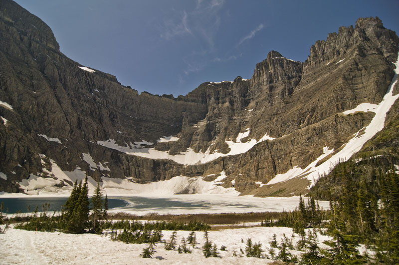
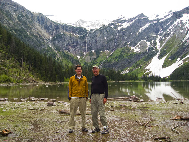
Iceberg Lake to Ptarmigan Lake and Tunnel
The Iceberg Lake is a 10 mile out and back hike. About 3 miles from the start there is a turnoff for Ptarmigan Lake. Coming back we decided to check it out.
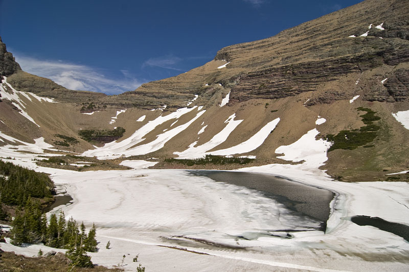
The Iceberg Lake is a 10 mile out and back hike. About 3 miles from the start there is a turnoff for Ptarmigan Lake. Coming back we decided to check it out.
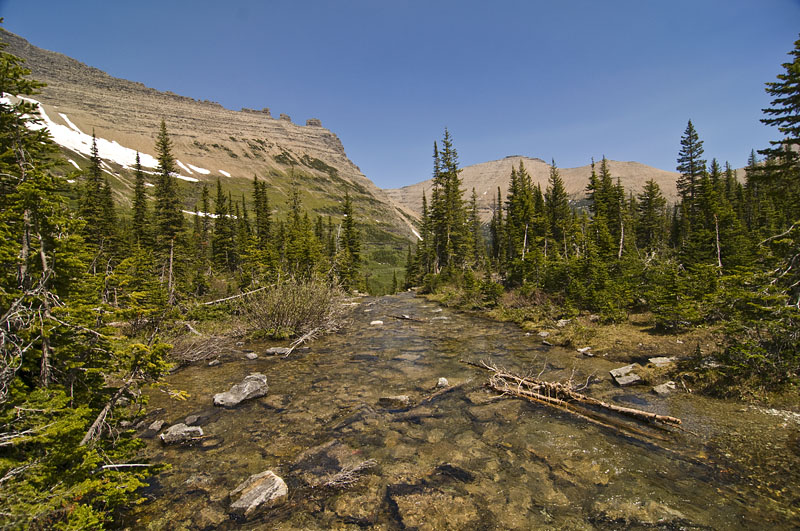
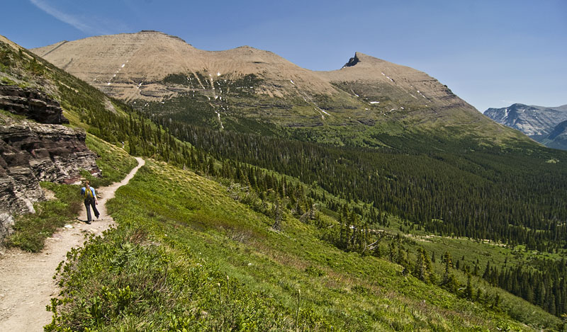
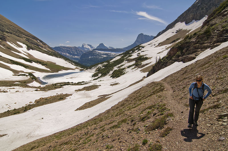
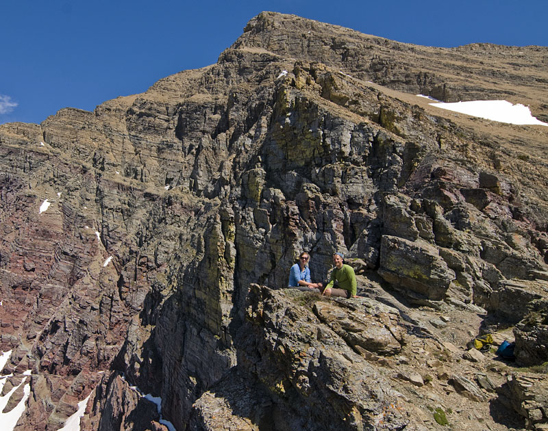
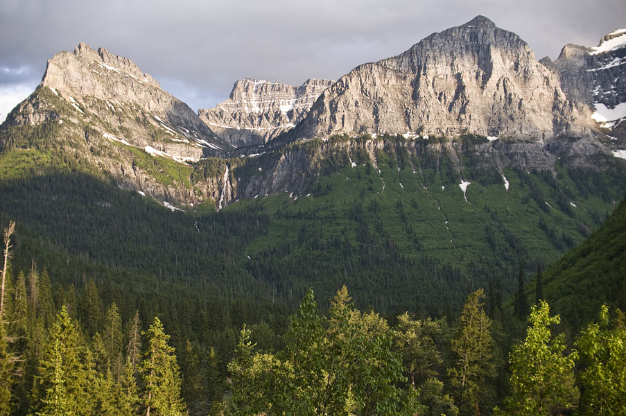
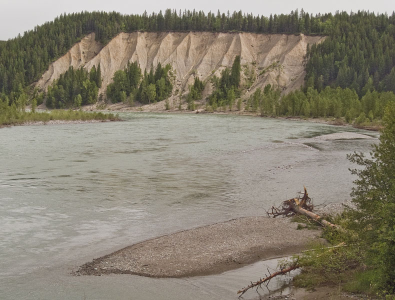
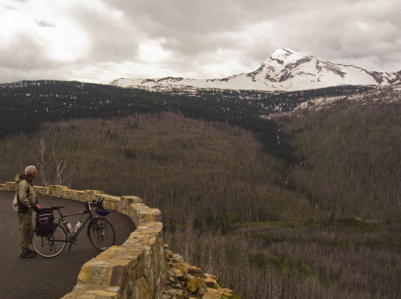
Hilary and I went to Glacier National Park over the weekend. Saturday was spent doing a pretty amazing hike to Iceberg Lake and then to the Ptarmigan Tunnel. Here are some pictures of the Going to the Sun Road from Friday evening and the start of our hike on Saturday.


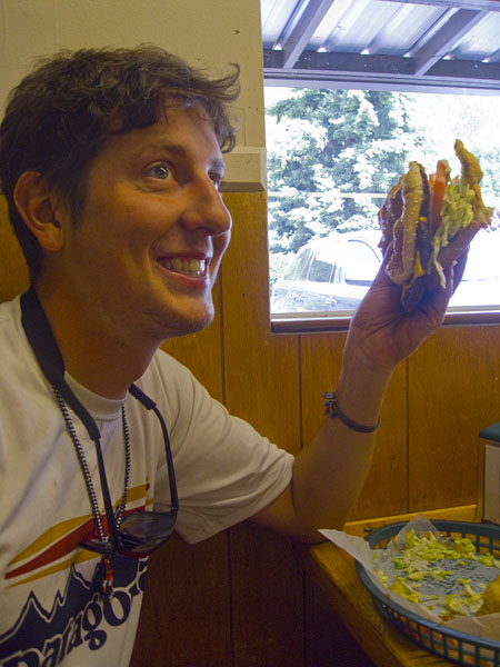
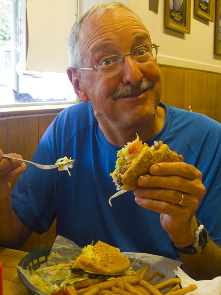
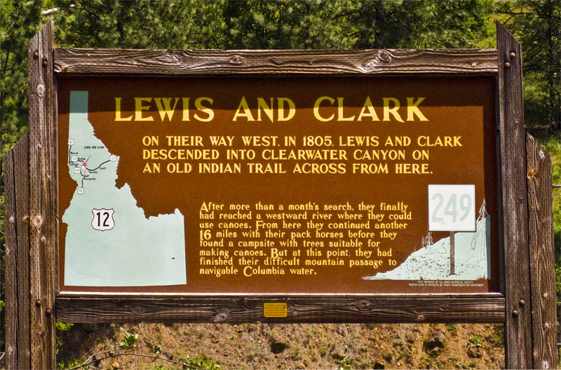
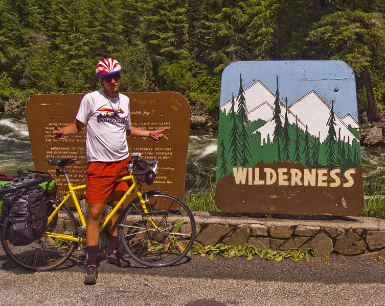
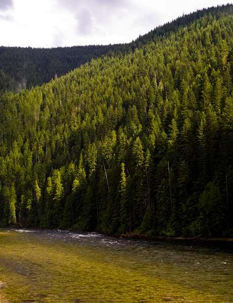
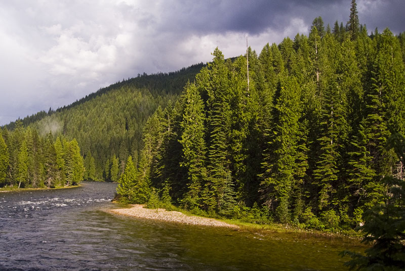
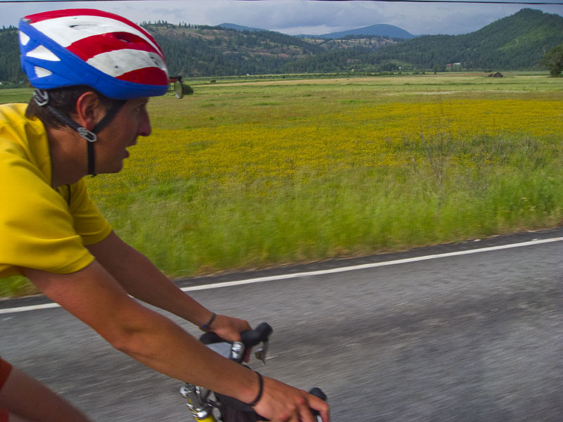
These pictures cover parts of the last 3 days of our trip. After Orofino we camped by the Clearwater River 2 miles out of Lowell, Idaho. The next day had 60 some miles of biking by the Lochsa River on the surprisingly empty Highway 12.
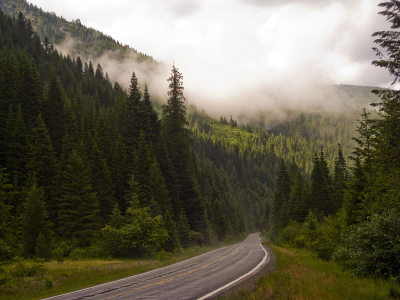
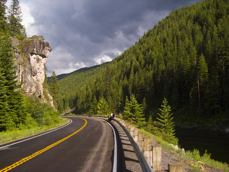
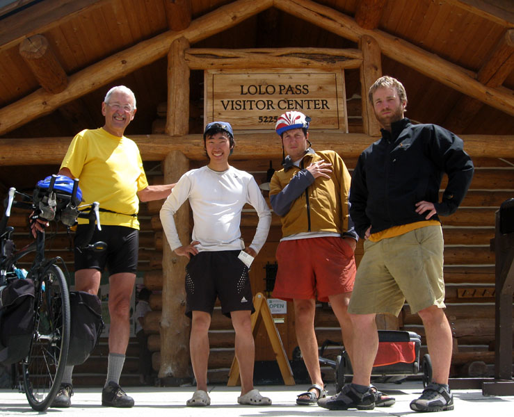
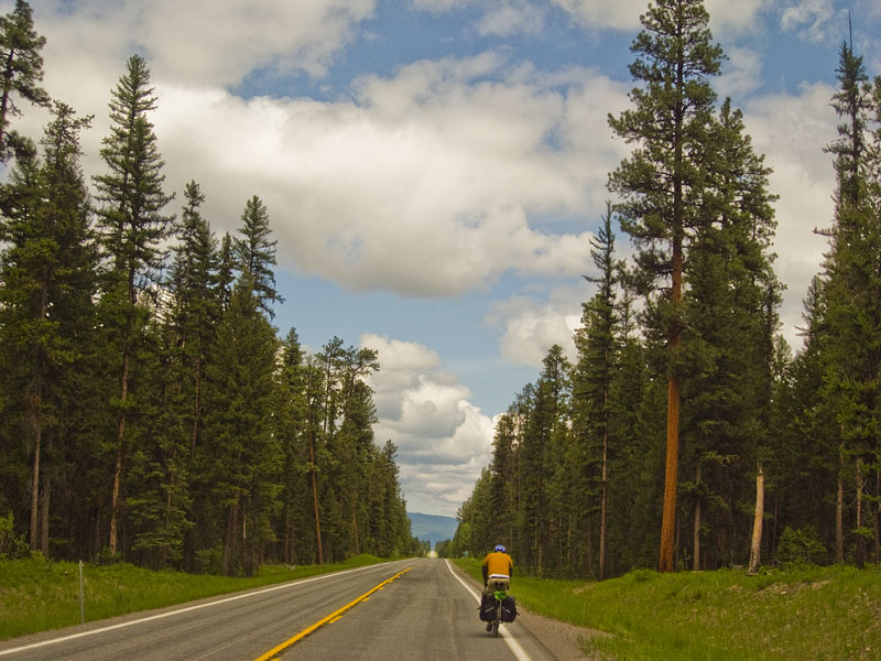
The last day we spent the morning climbing up to Lolo Pass, and then the afternoon was almost completely downhill into Missoula. I was a little worried about Highway 12, but once we passed Kamiah it was some of my favorite riding of the whole trip. For over 100 miles we were right beside either the Lochsa or the Clearwater Rivers with almost no traffic.

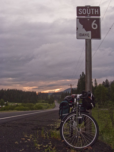
The day after the 80-plus mile day with numerous big hills coming south from Coer D’Alene, ending in a guerrilla camping site, I was feeling a little worn out. We had biked 70-80 miles basically every day of the trip except for the day we spent in Glacier.
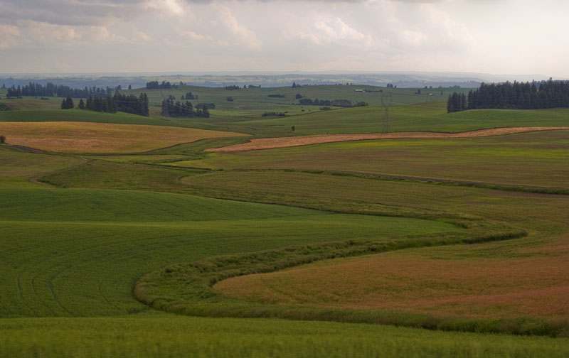
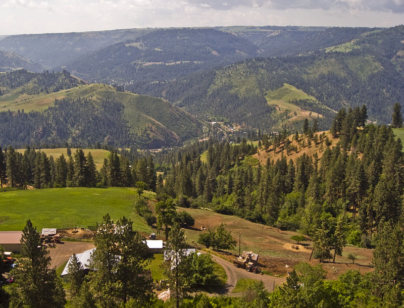
The next day took us through some extremely rural areas of Idaho. We had to plan more carefully to make sure we didn’t run out of food, as often “towns” on the map would be a couple of farms and a post office. We were also in logging country, and the little traffic there usually consisted of an 18-wheeler full of logs or sawdust, sometimes giving you plenty of room and sometimes not.
After an epic 4 mile downhill before the town of Kendrick we found the road to put us further east on Highway 12 (the road that would ultimately lead us back to Missoula). We had already biked over 60 hilly miles that day and the shortcut road climbed back out of the same valley we had just descended into. I was not looking forward to a 4 mile uphill.
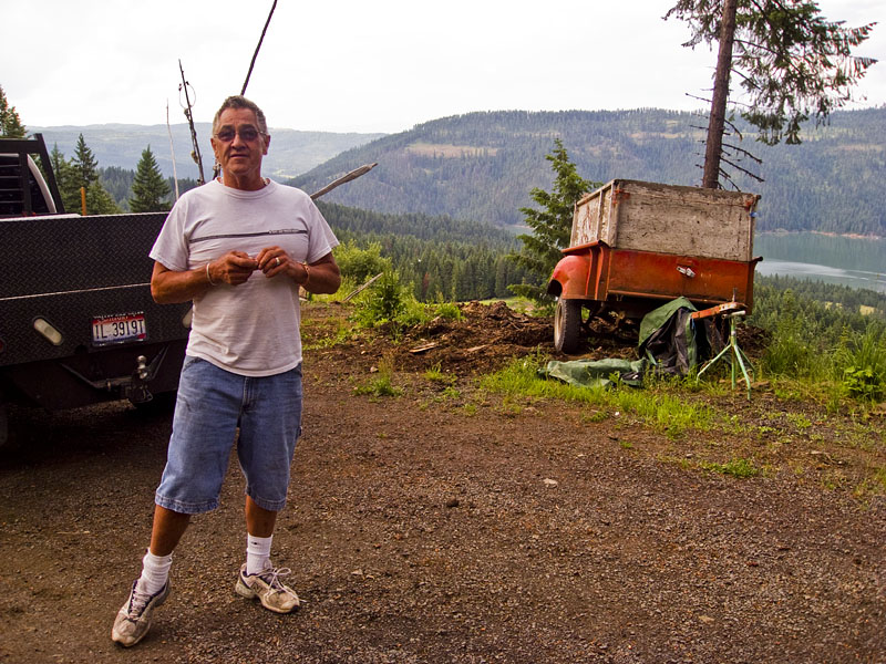
At the bottom I stopped by the river to take a breather and almost immediately a fellow driving by stopped, walked up to us while eating some fruit cocktail with a tiny plastic spoon, and offered to have us throw our bikes in the back of his truck and give us a ride up the hill. Without the ride we would probably have had to bike another 25 miles or so to get to a place we could camp. After a brief period of contemplation we decided the ride sounded like a really good idea.
The guy who picked us up was Mark, an anesthesiologist who lived nearby. Jeff and I sat in the back of the pickup and had a dope time watching the scenery go by and being grateful we weren’t pedaling up this hill. As we got to the top of the hill Mark stopped and told us our options for camping, and offered to give us a ride another 18 miles to a campground right on the Dworshack reservoir. We took him up on this as well.
Getting to the Dworshack reservoir requires an 8 mile side-trip, much of which is a seriously steep winding downhill right before the lake. Not only did Mark take us down this thing, but the next morning he came and picked us up and took us back out of it. It was some epic assistance with impeccable timing.
After Libby we went back northwest to Bonners Ferry where we camped at their fairgrounds and really hoboed up a run sponsored by the local high school that happened the next morning as we were eating breakfast and getting ready.
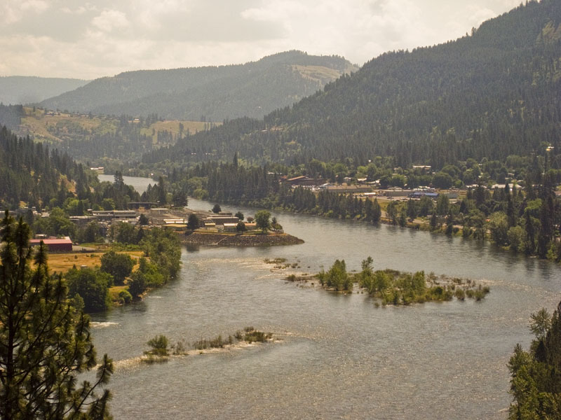
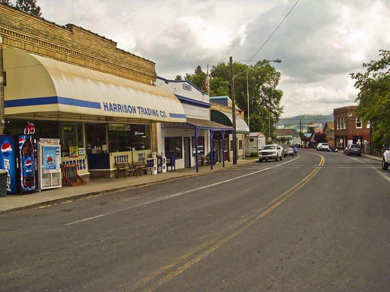
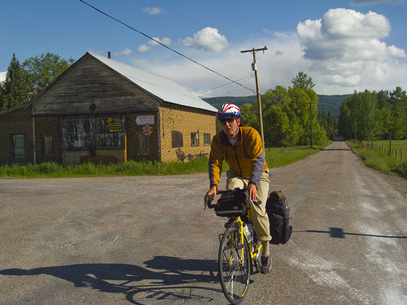
Then we went south to Coeur D’Alene where Jeff’s Dad put us up in our first hotel of the trip, the State Motel. The State motel is highly recommended for its reasonable pricing, proximity to downtown, friendly owner, and his dog that was fond of coming in your room if you left the door open. I believe this was my first shower of the trip.
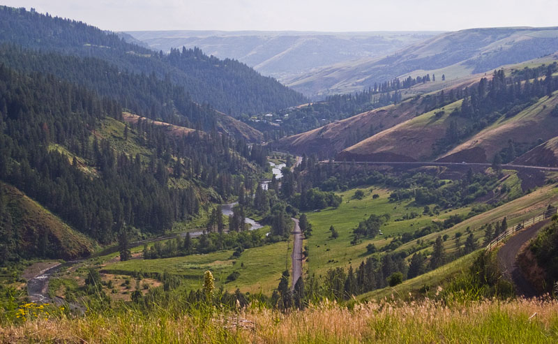
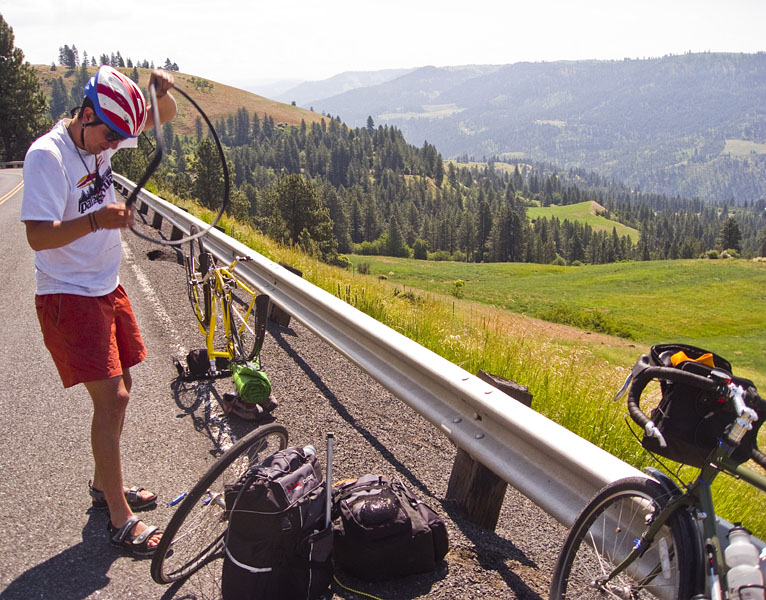
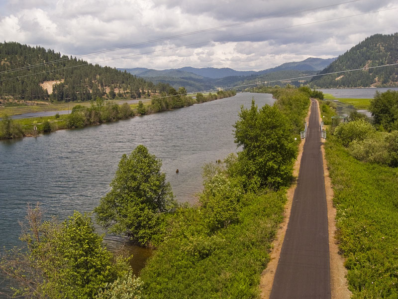
From Coeur D’Alene we actually rode on the interstate east for 8 miles in order to be able to ride south on the road bordering the eastern side of the lake. A couple hundred yards from the interstate exit a 2 inch nail ended up giving me my first flat of the trip. It was worth it though as the road turned out to have good views of the lake and very little traffic.
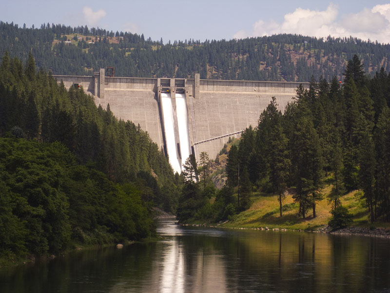
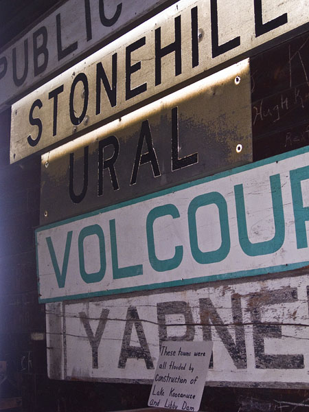
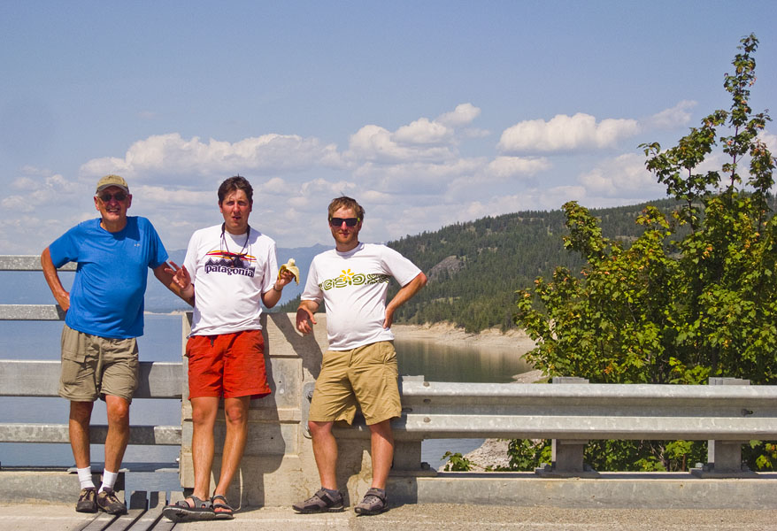
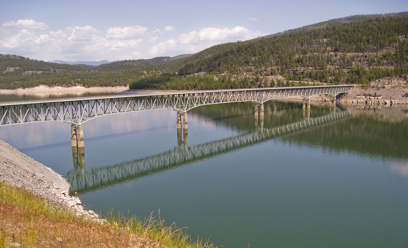
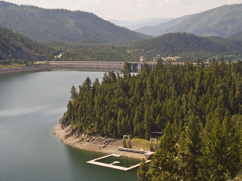
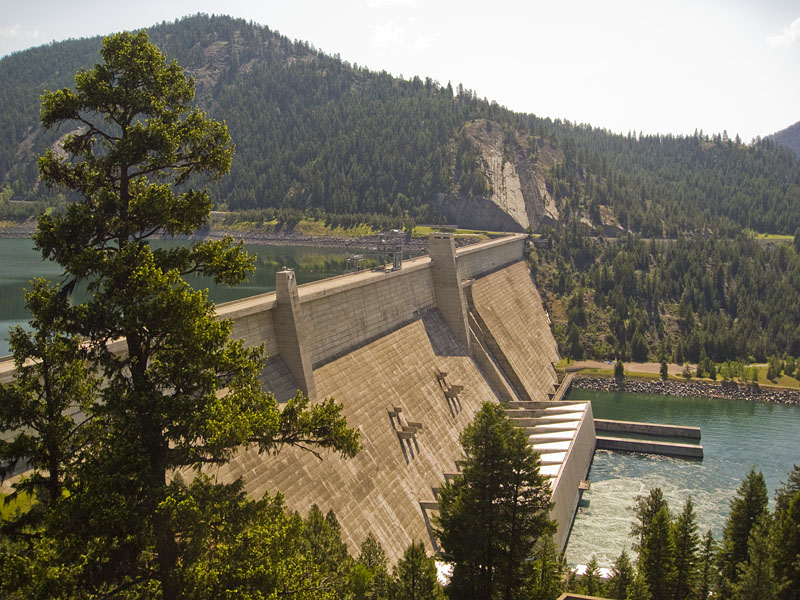
North of Glacier, 7 miles from the border of Canada, we encountered the town of Eureka, which was soon followed to the west by Lake Koocanusa (best pronounced “Koo-can-u-s-a”) and its creator the Libby Dam.
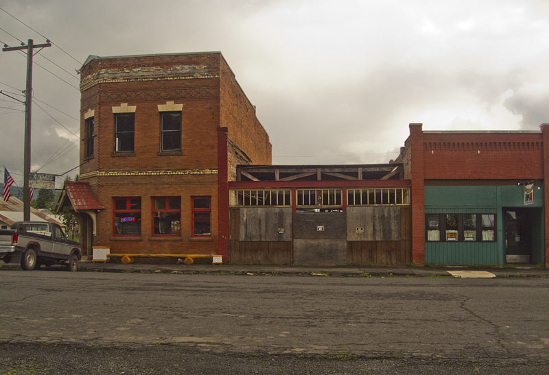
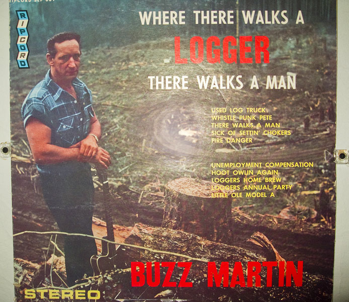
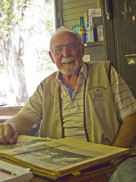
Eureka is a small town that is big on logging, like most towns in northwest Montana. It was easy to see why, biking around the supply of trees seemed about limitless. They had a nice exhibit with multiple historic building, pictures, and objects from the past 100 years or so. The whole exhibit was a rather grand effort to keep history alive for a town of 1000 people.
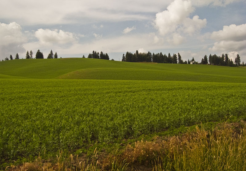
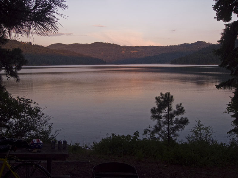
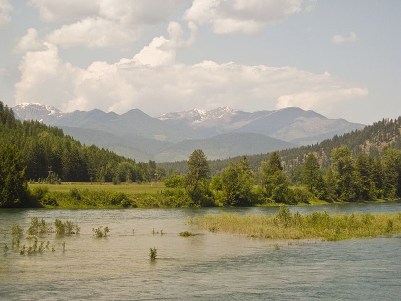
Lake Kookanusa itself was gigantic. We rode along it for 50 or 60 miles and only saw the southern half of the lake. The lake was created when the Libby dam stopped the flow of the Kootenai River, the third largest tributary of the Columbia River (according to Wikipedia), in the early 70’s. The older I get the more anti-dam I become. Let the river flow I say.
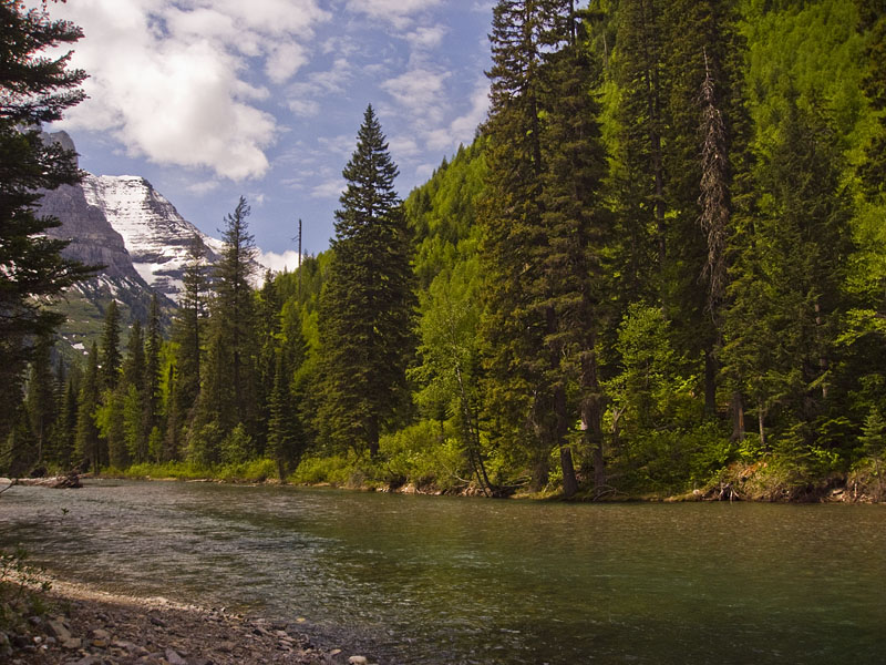
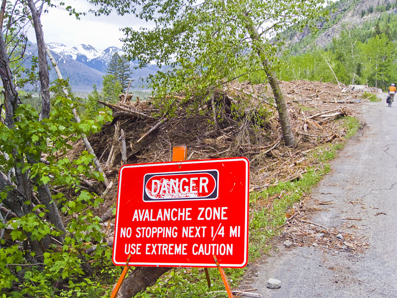
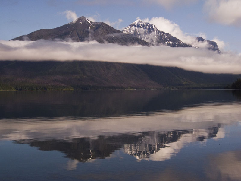
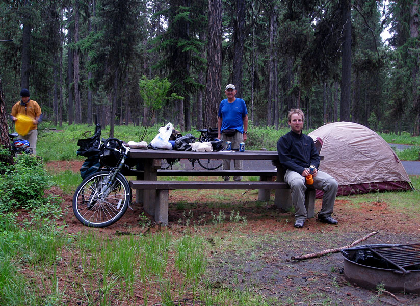
The third day we rode from Bigfork to West Glacier. The Adventure Cycling Map had a nice backroad to take for much of the way. We camped at Sprague Creek after discovering that Avalanche wasn’t going to open for another 4 days.
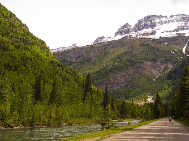
The road was closed at Avalanche for cars due to the clearing of the winter’s snow off the Going to the Sun Road. However, bikes were allowed to go 10 miles or so further up to The Loop, the single switchback in the Sun road. It was an unexpected surprise to be able to have the whole road to ourselves for a decent distance.
After the ride we did the short hike up to Avalanche lake.
The next morning we departed, backtracked to Columbia Falls, and headed north towards Eureka, Montana.
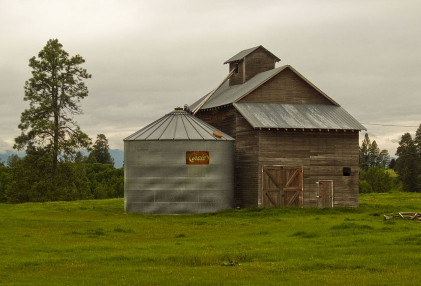

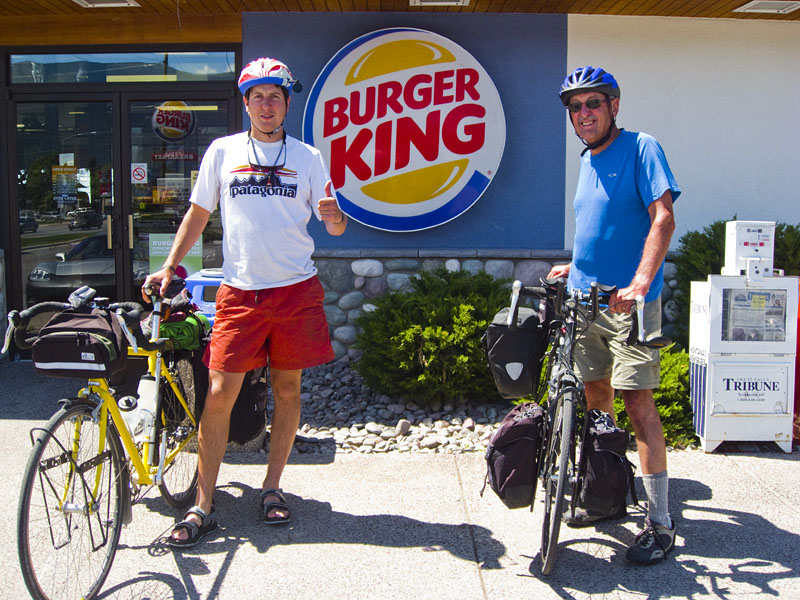
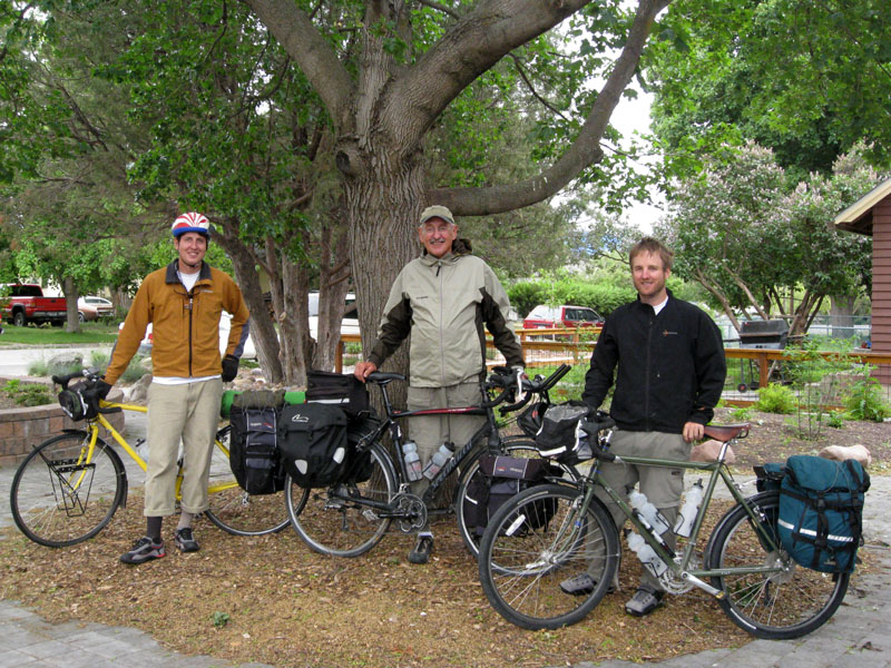
Yesterday I finished a 13 day tour with Jeff and his dad, John. We biked almost 900 miles through northwest Montana and the Idaho panhandle. The beginning of the trip we followed the Adventure Cycling Association’s “Great Parks North” route.
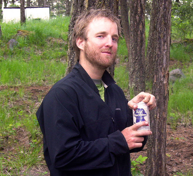
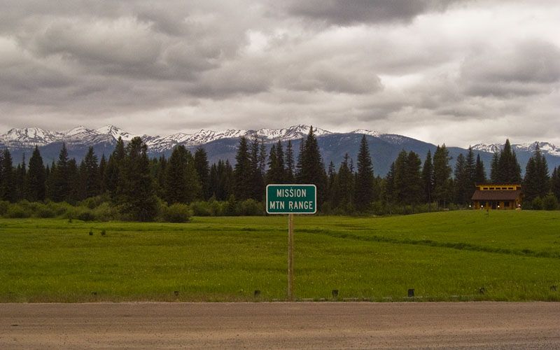
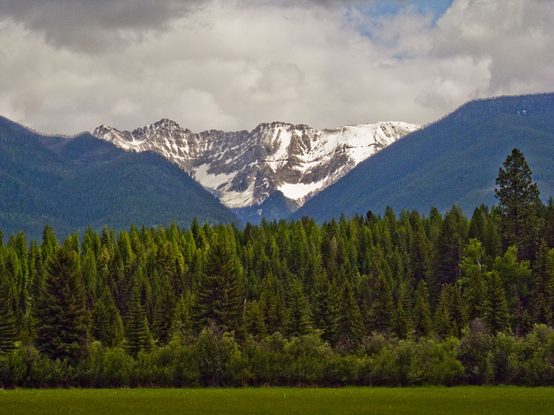
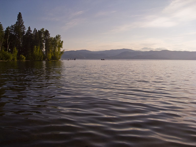
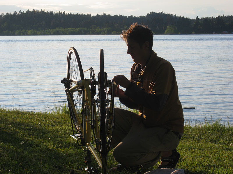
We started in Missoula and our first destination was Glacier National Park. The following pictures are all from the first 2 days. The weather started out a little cold and rainy but thankfully improved as the trip went on.
On a technical photographic note, most of these pictures were taken as RAW files using the Canon Hack Development Kit (CHDK) on my Powershot SD 850. If you have a Canon point and shoot camera loading this free program onto a memory card is a non-destructive, non-permanent way to enable a lot of different functions your camera is capable of, but aren’t built into Canon’s firmware.
CHDK has a lot of different functions you can enable, such as live histograms and motion sensitive photography. I was most excited about being about to take pictures in RAW format. If you aren’t familiar with RAW, Anytime you take a picture as a jpg your camera is deleting a lot of the information it originally collected from the sensor to create the relatively compressed jpg file. A RAW file, typically only available with higher end cameras, saves all this information.
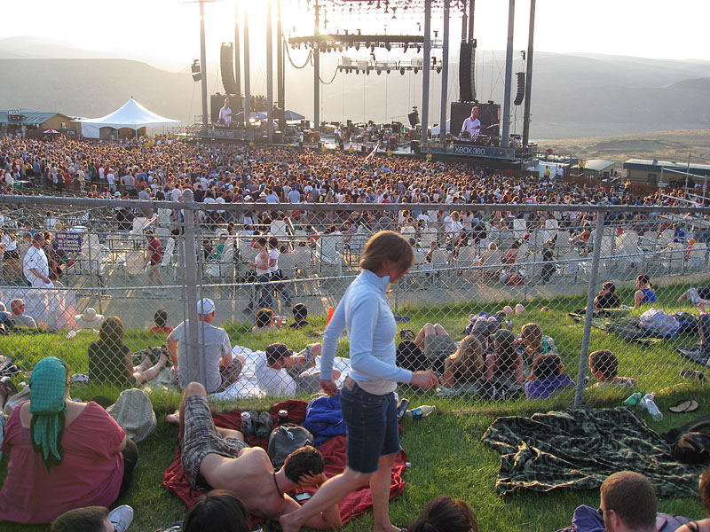
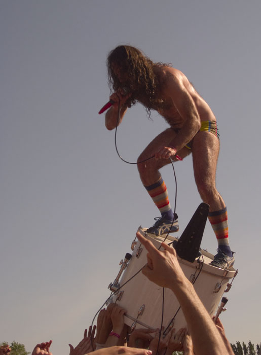
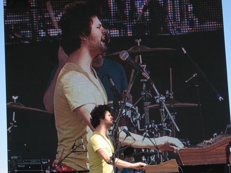
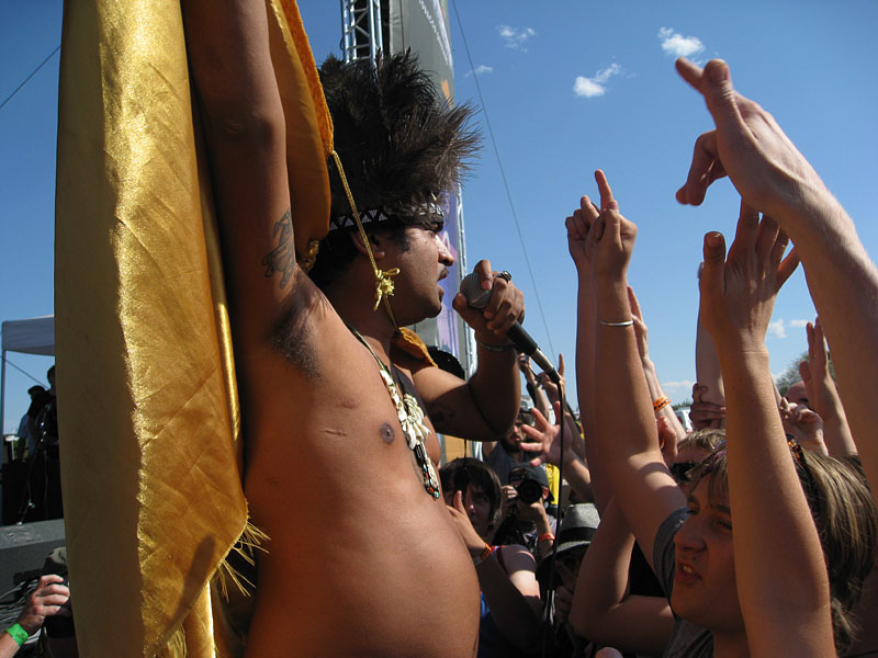
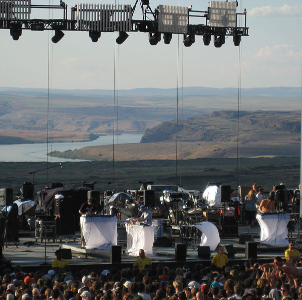
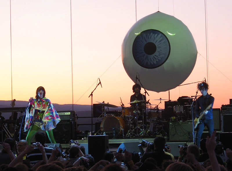
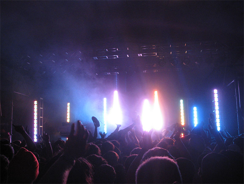
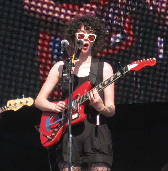
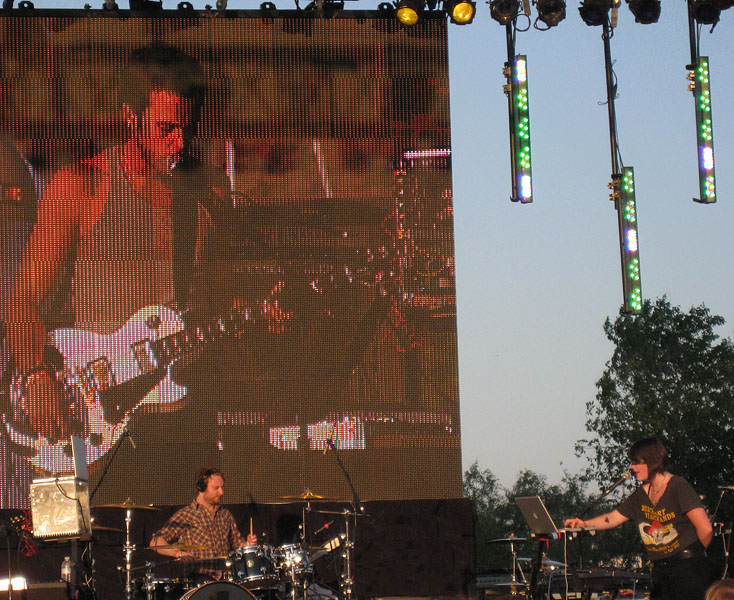
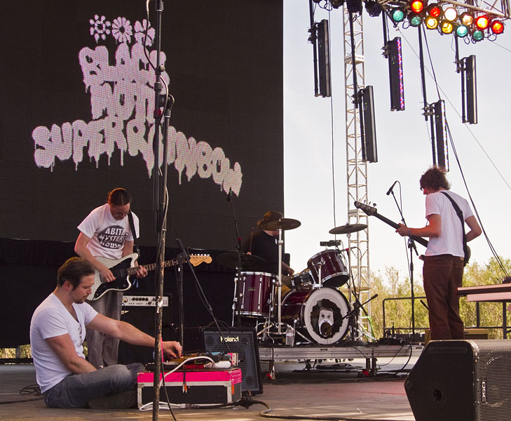
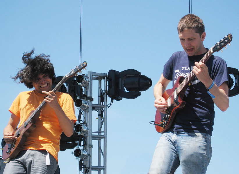
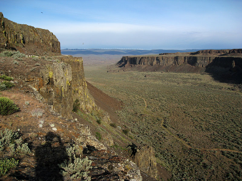
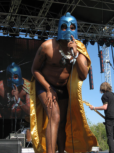
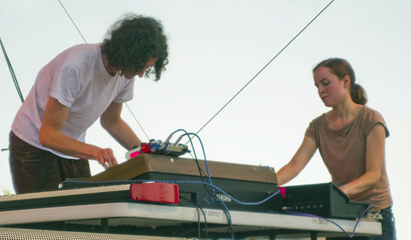
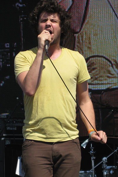
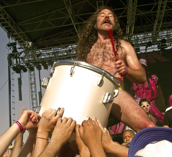
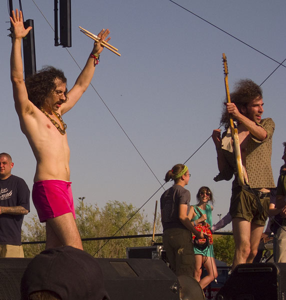
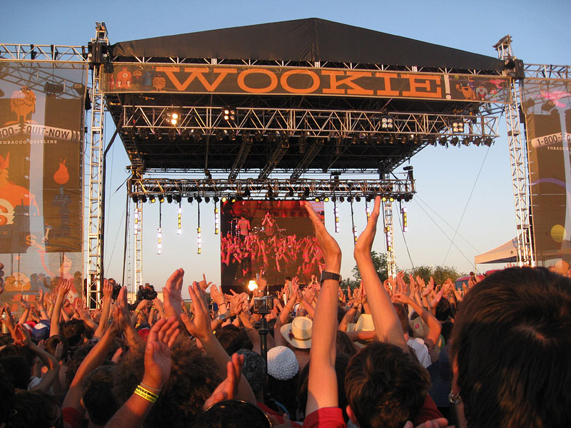
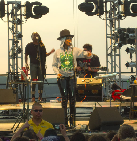
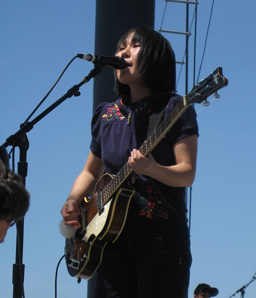
Some pictures from the 2009 Sasquatch Music Festival at The Gorge Amphitheater at George, Washington, about a 5 hour drive west from Missoula.