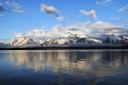
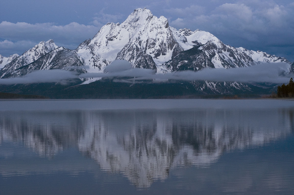
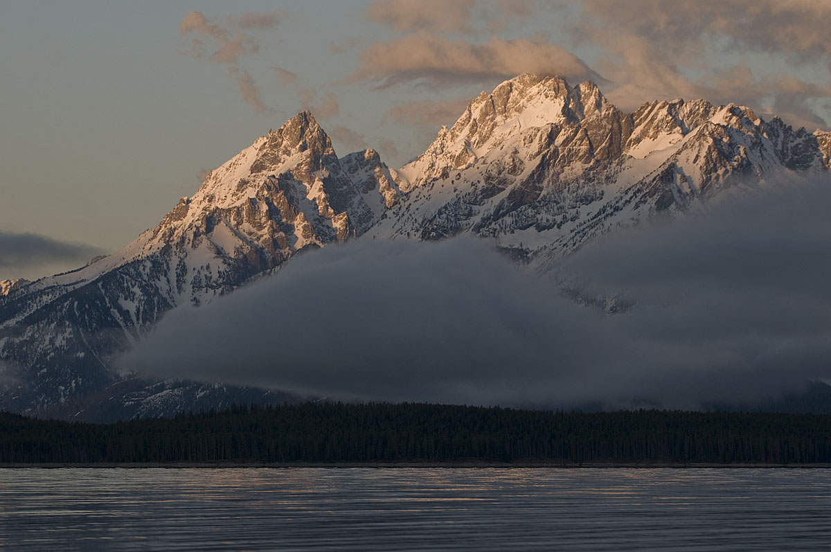
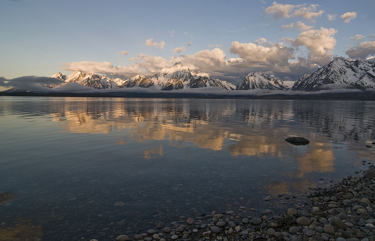
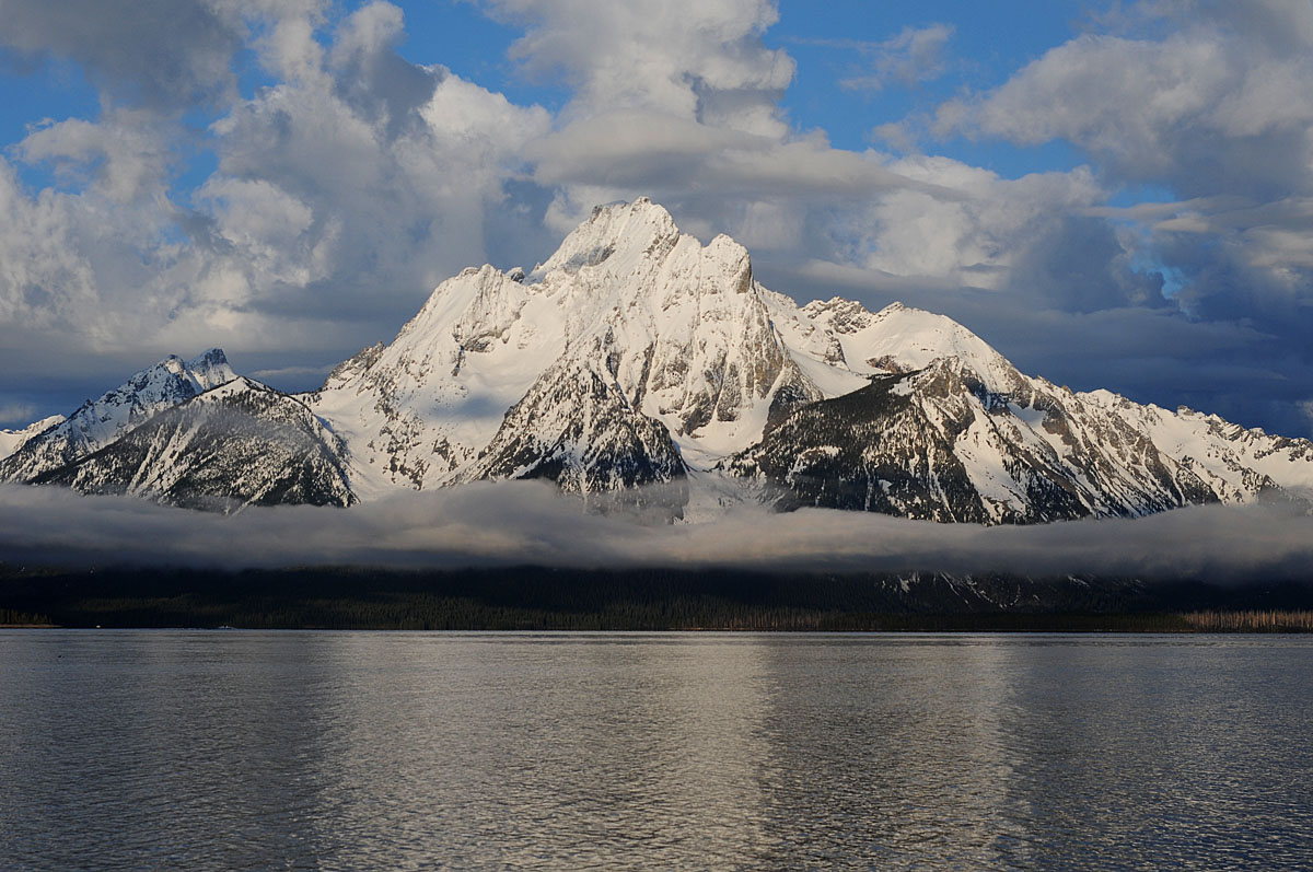
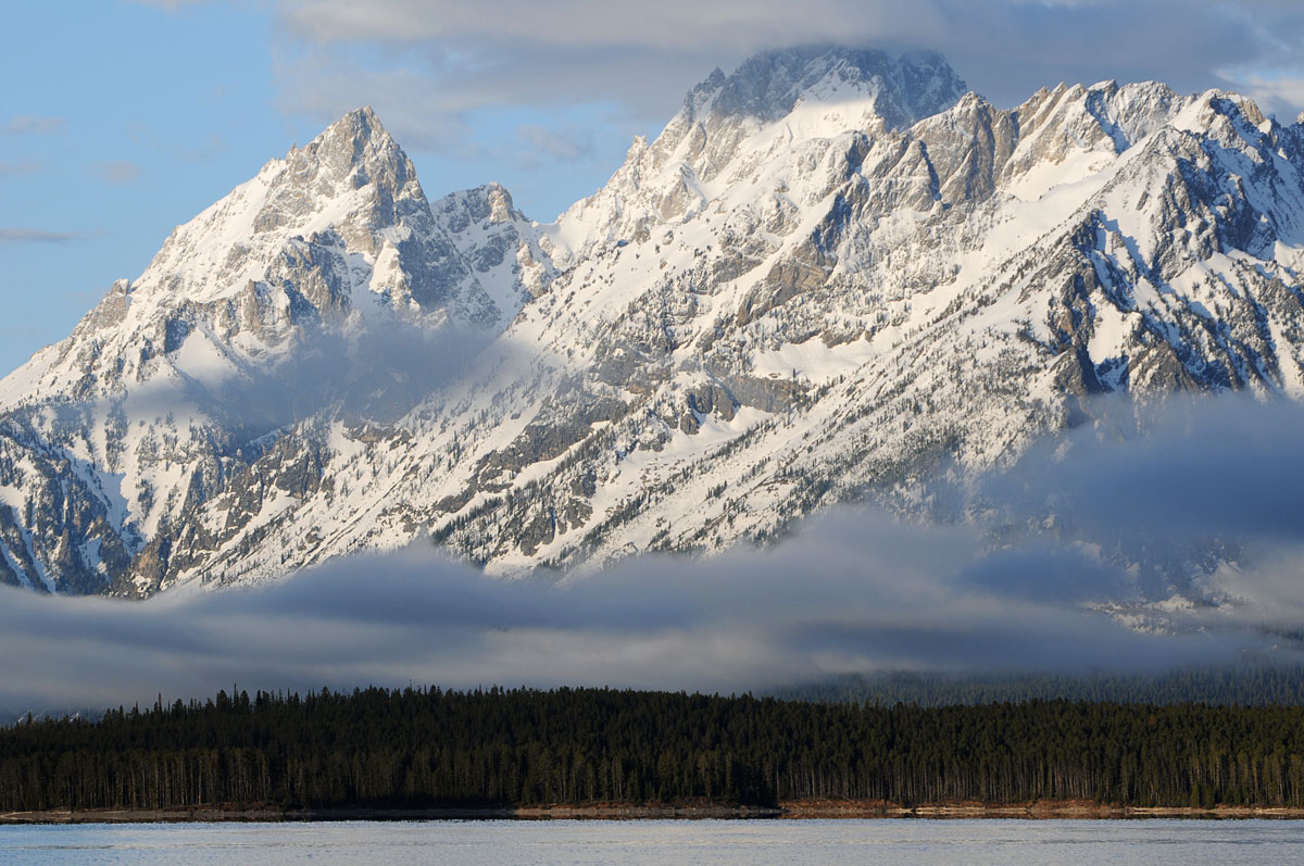
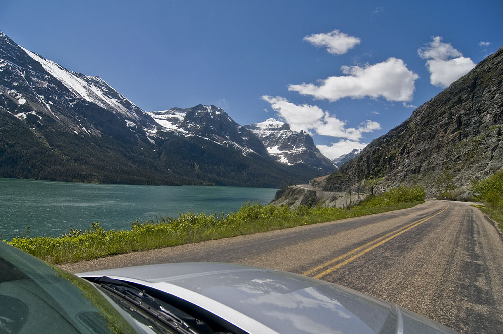
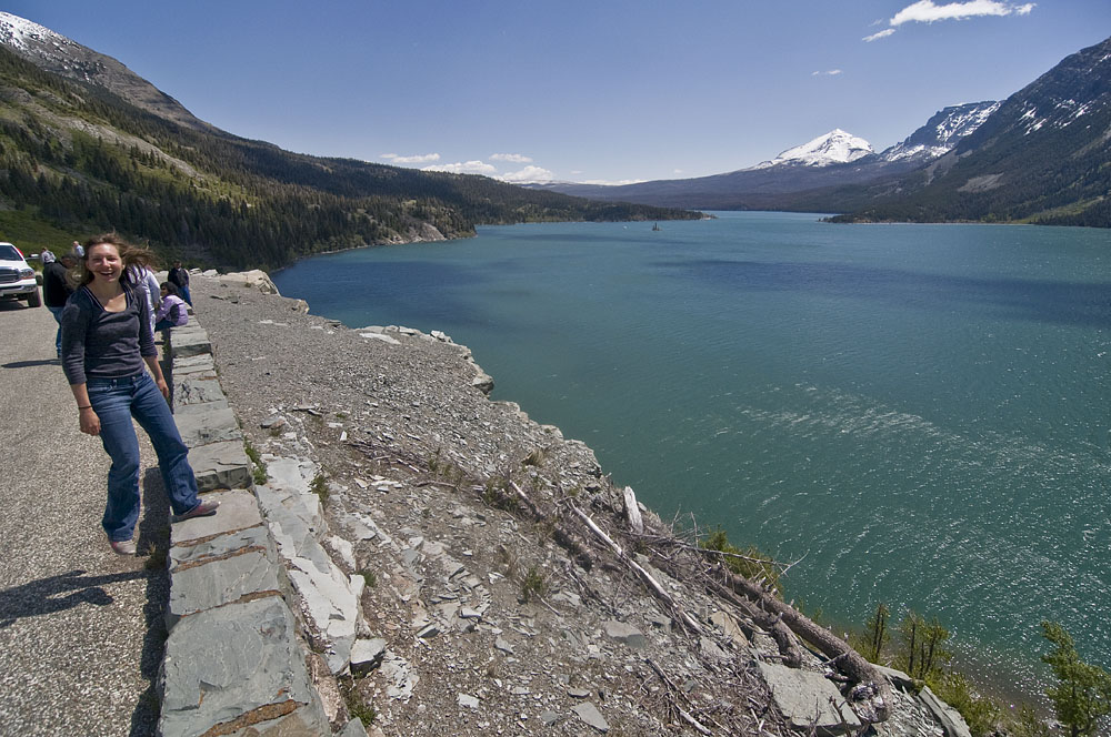
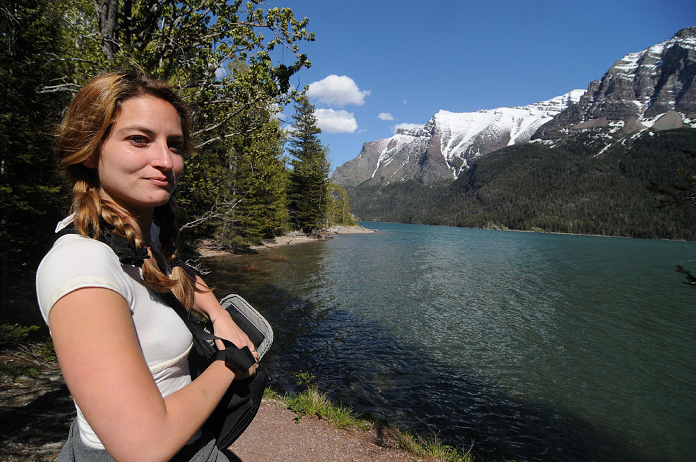
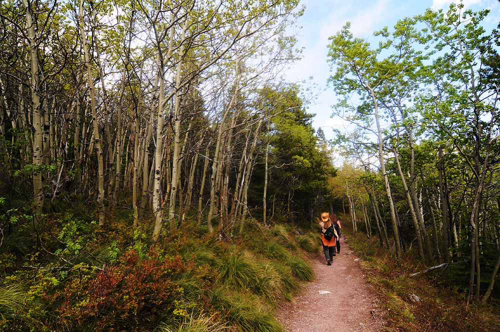
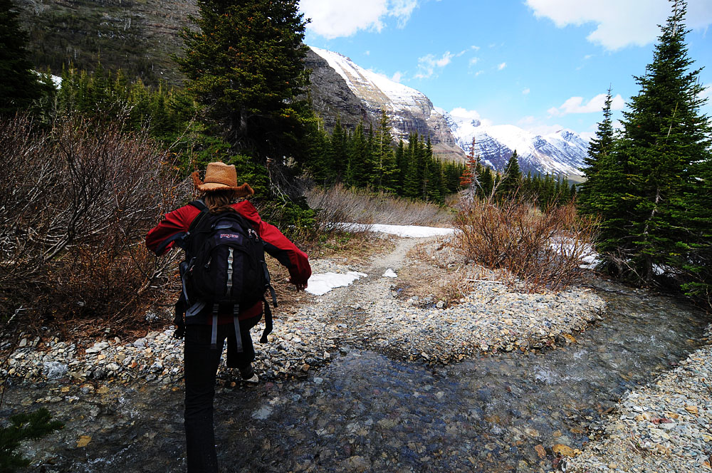
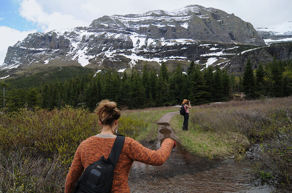
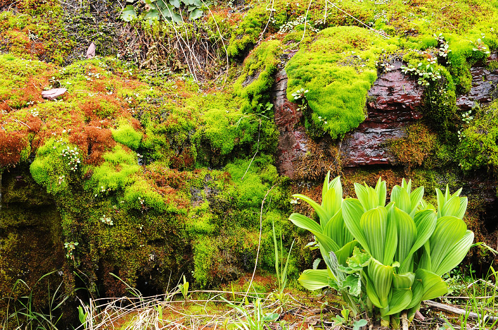
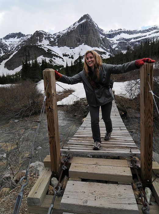
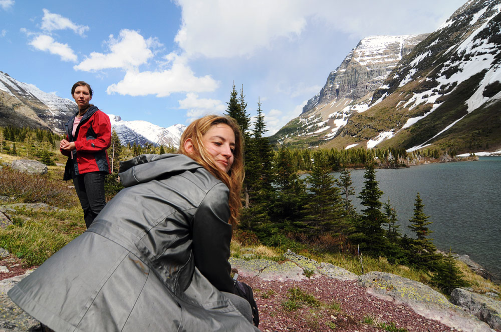
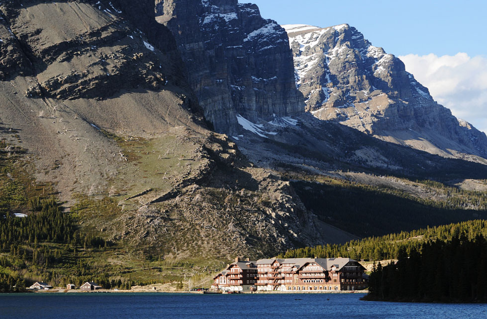
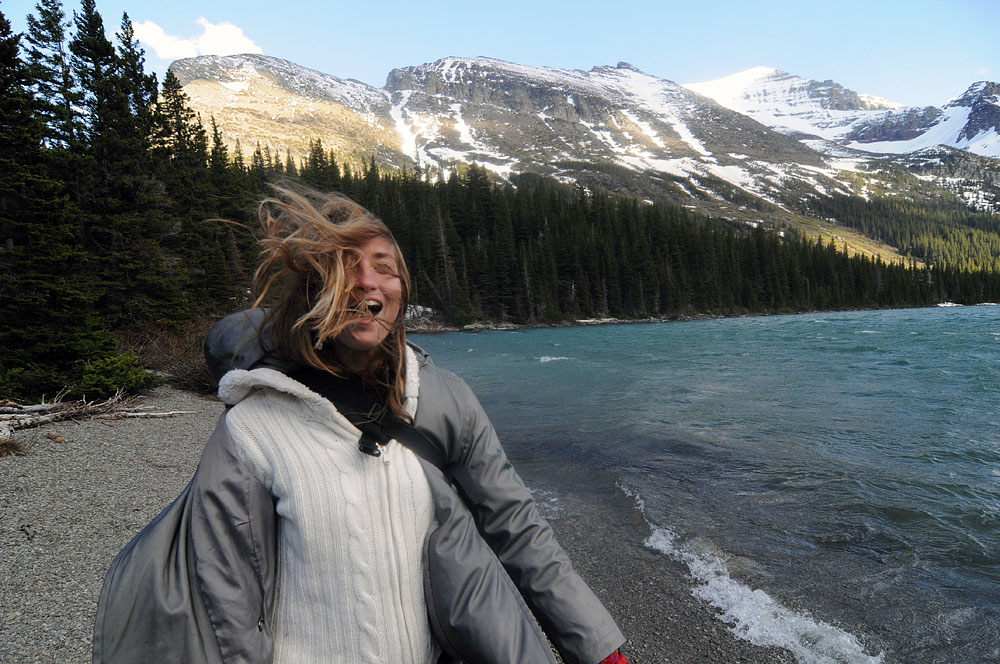
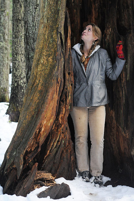
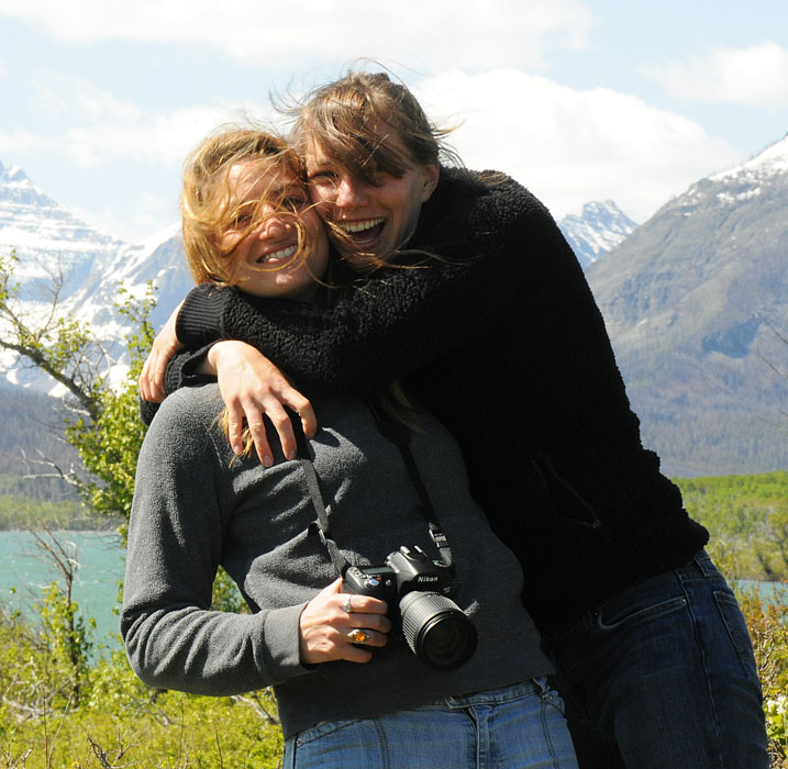
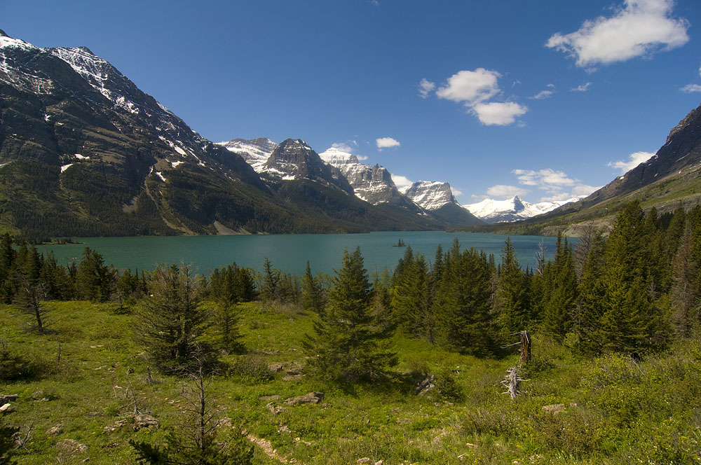
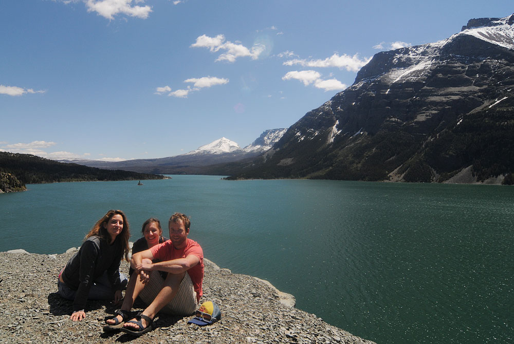
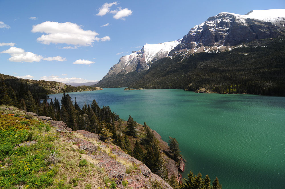
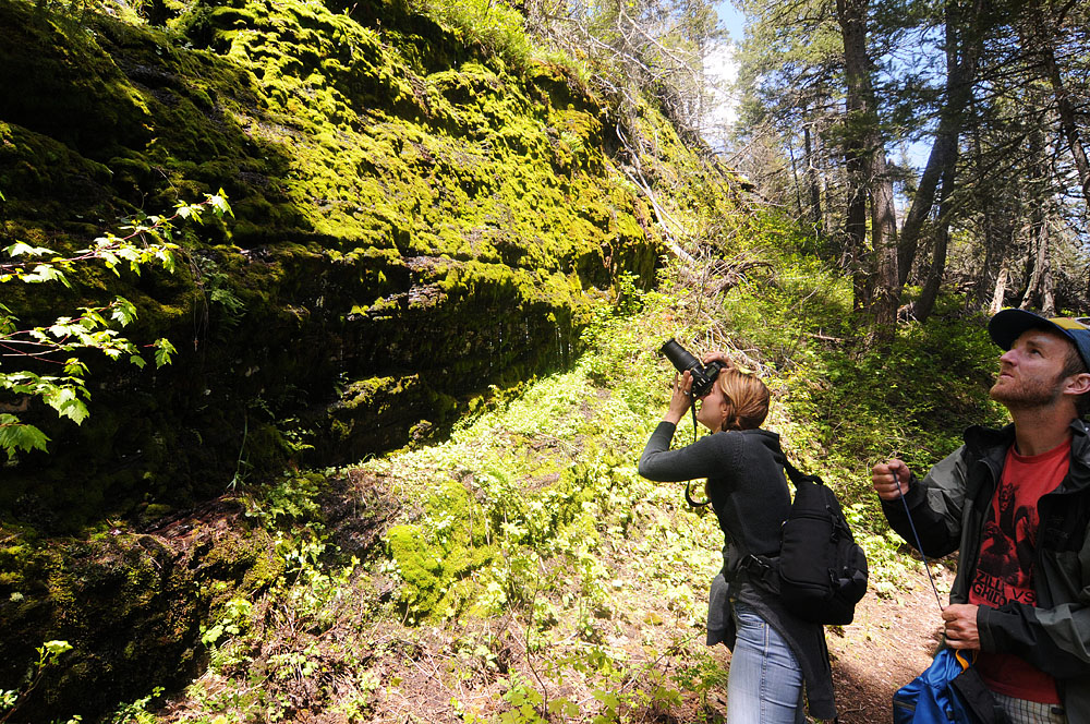
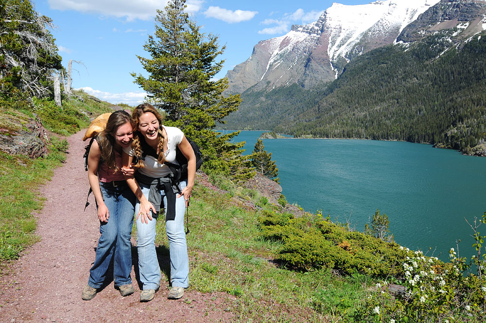
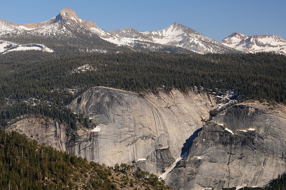
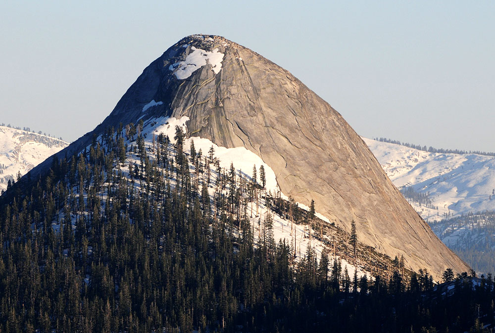
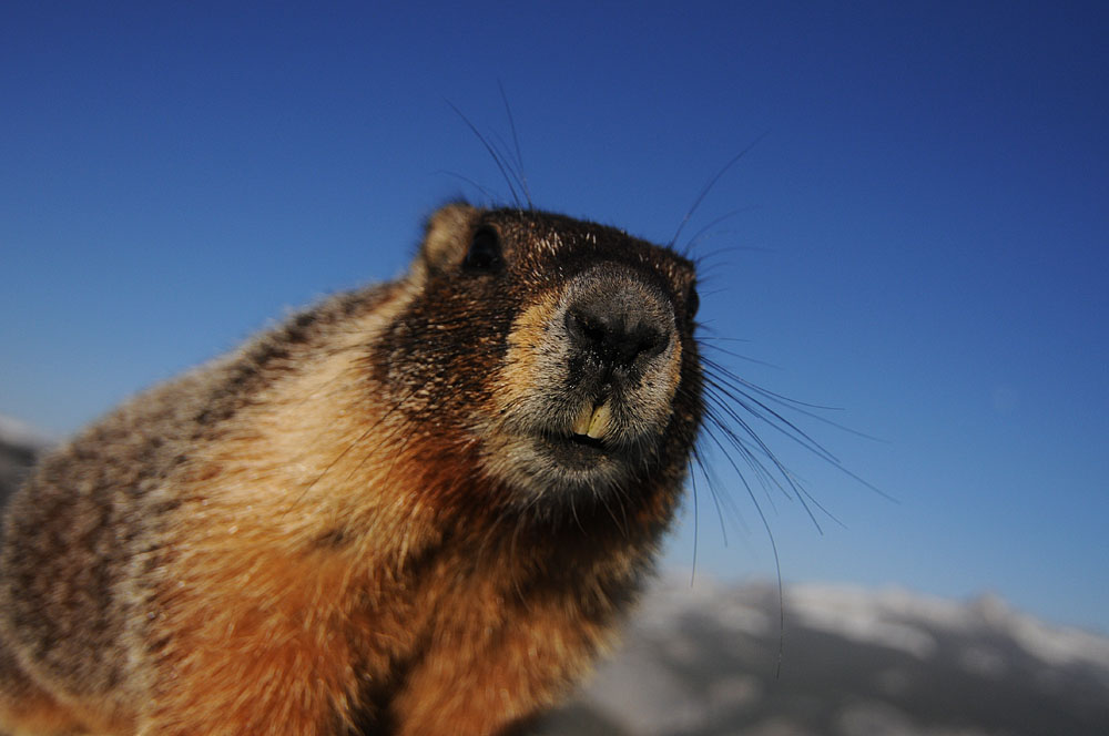
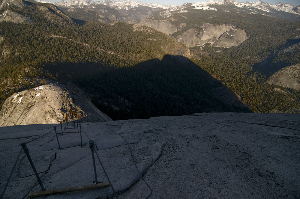
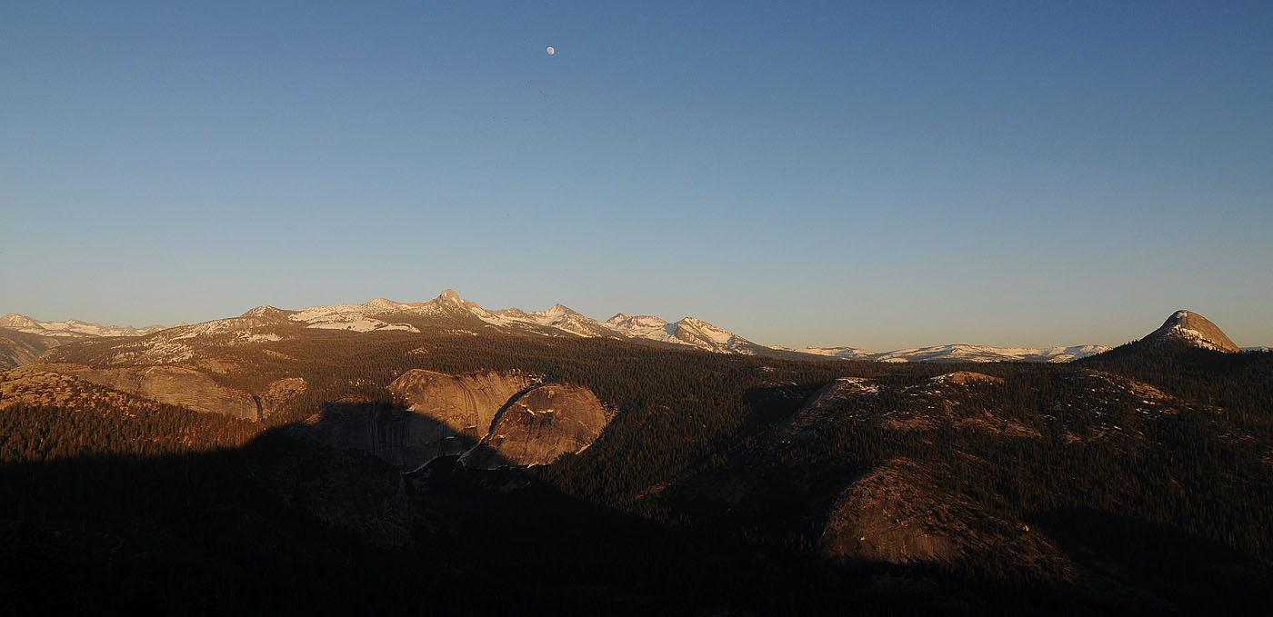
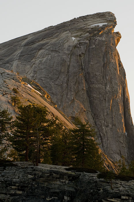
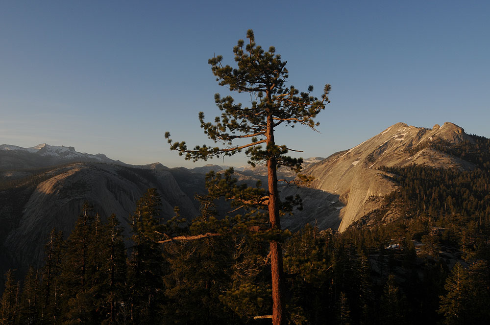
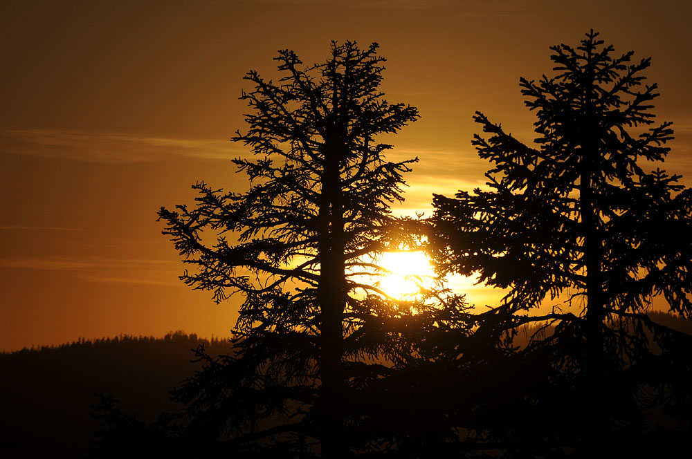
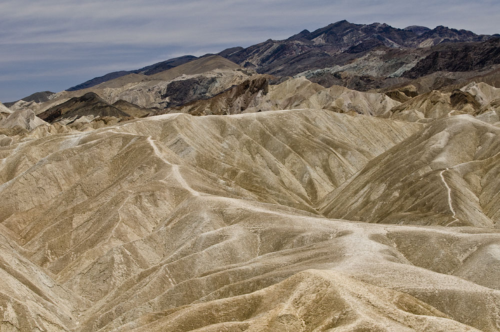
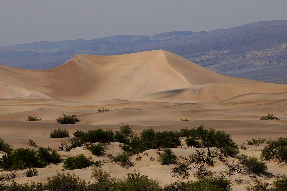
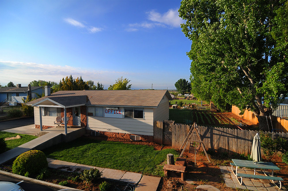
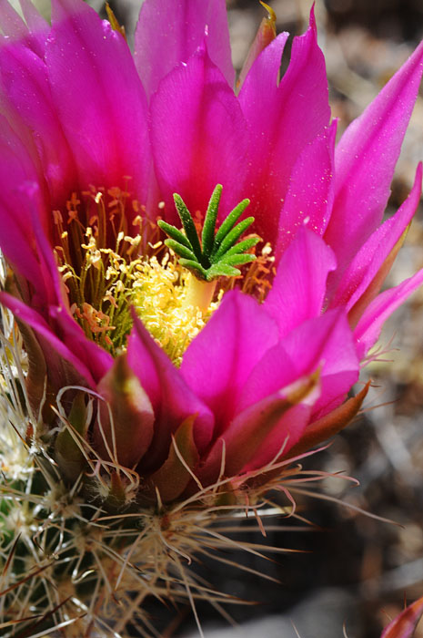
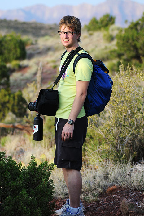
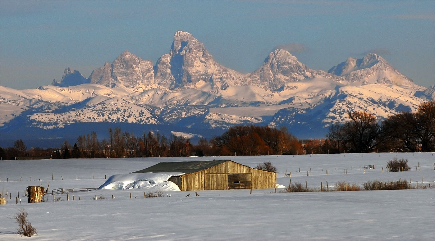
My friend Valerie is visiting and we just came back from a brief trip to the Tetons and Yellowstone. I’m getting more pictures than I know what to do with and going to Glacier later this week is not going to help that situation.
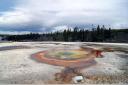
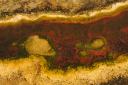
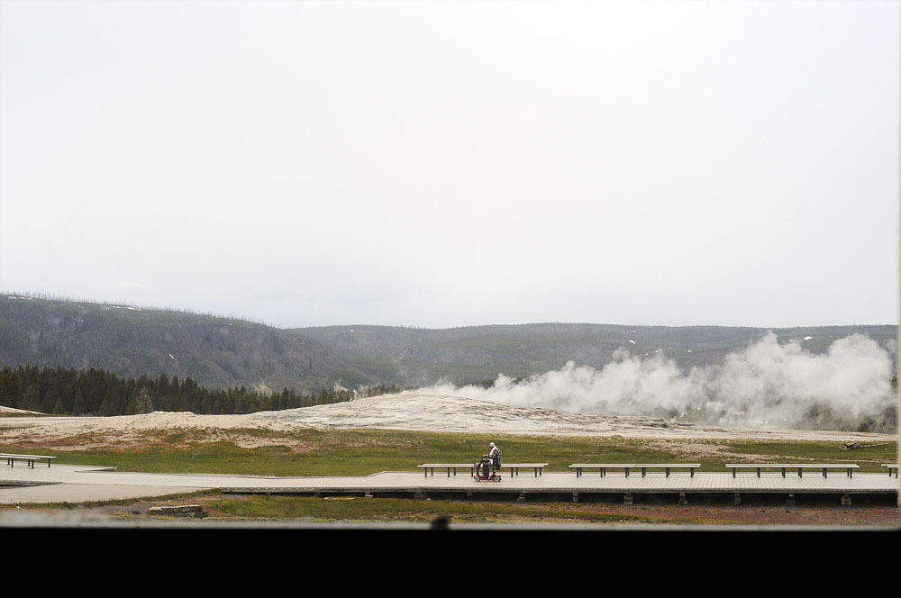
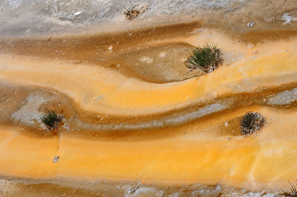
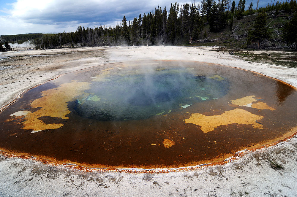
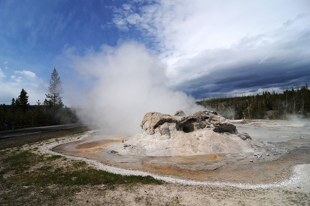
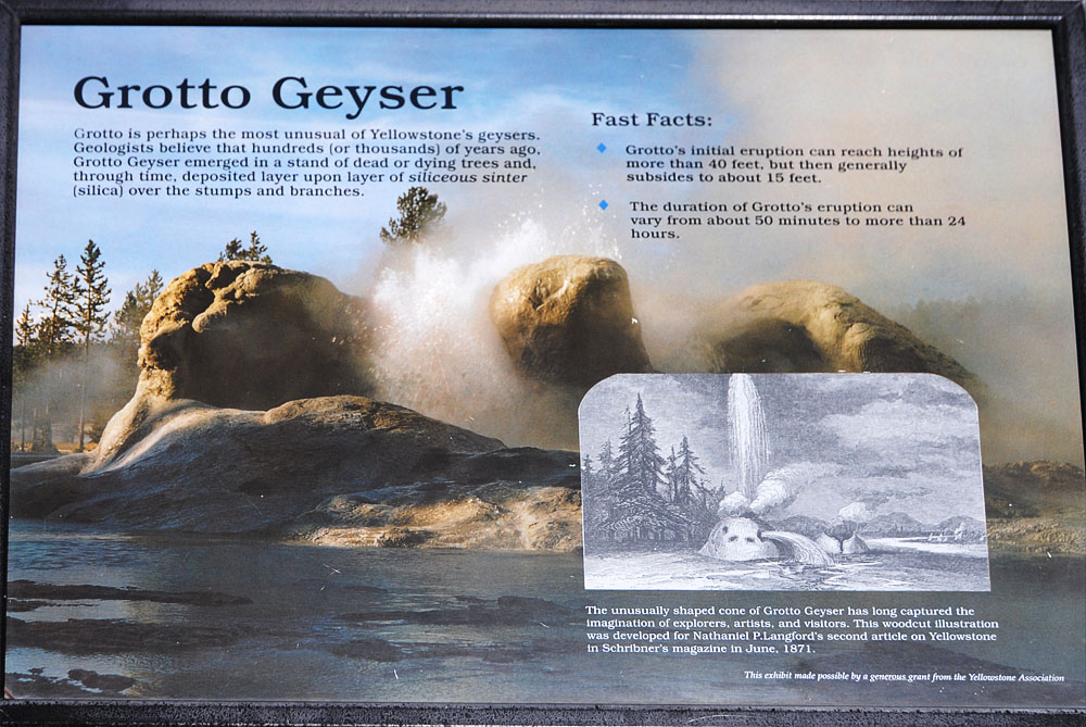
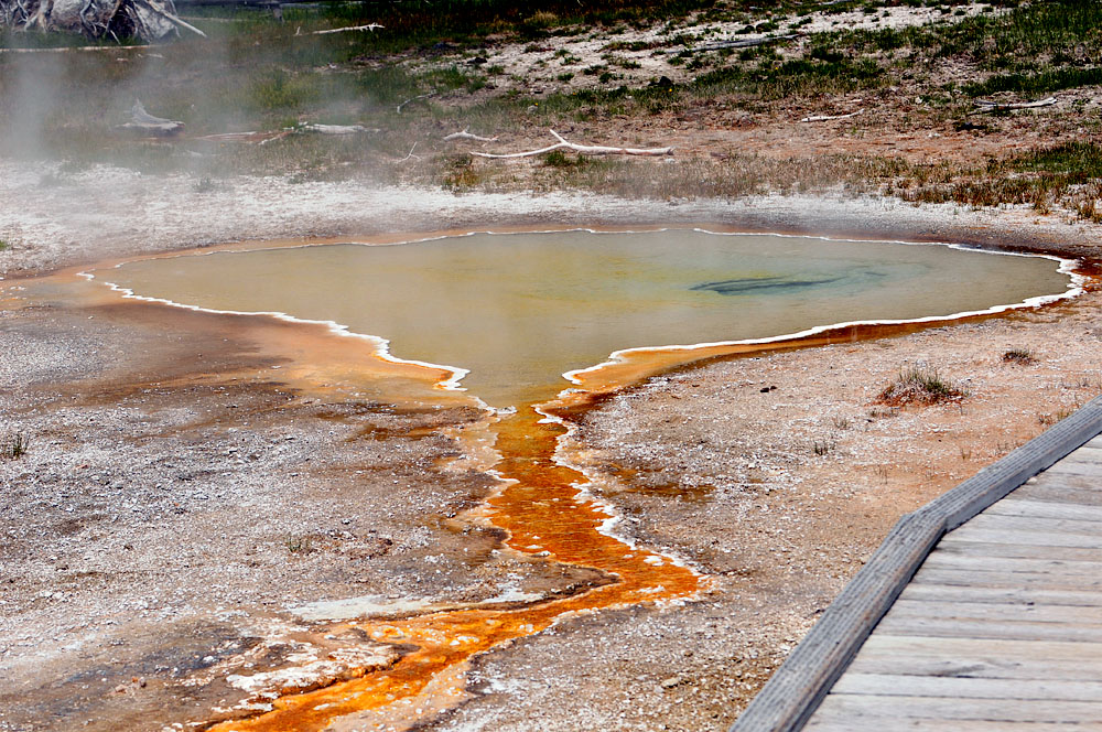
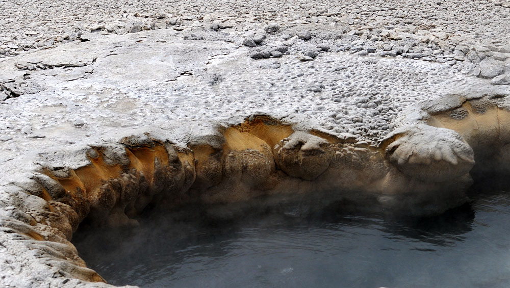
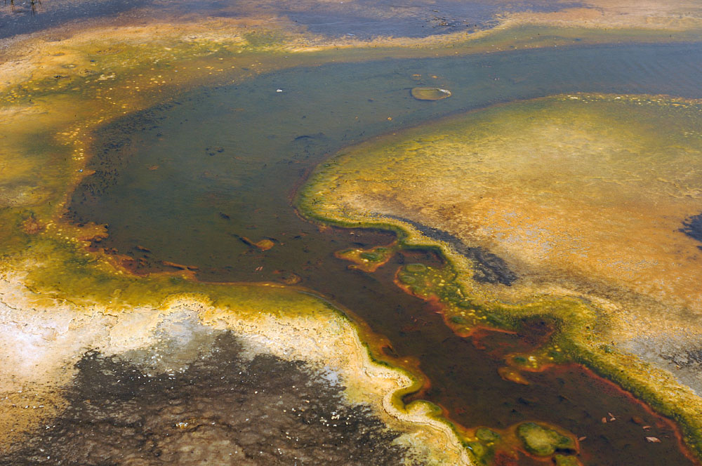
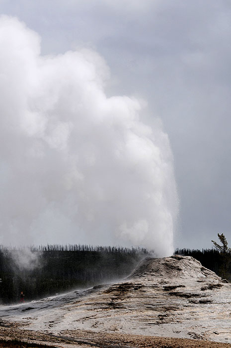
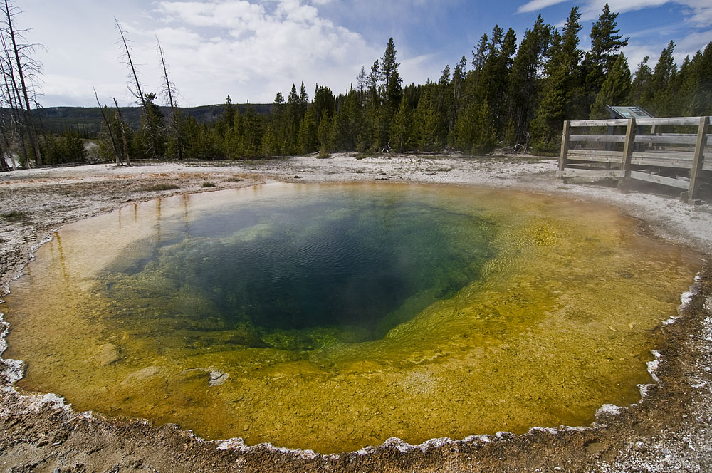
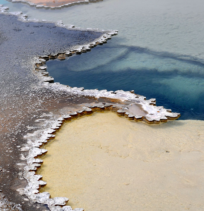
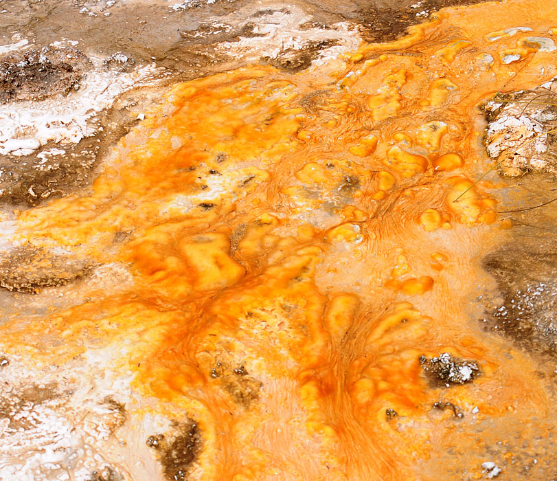
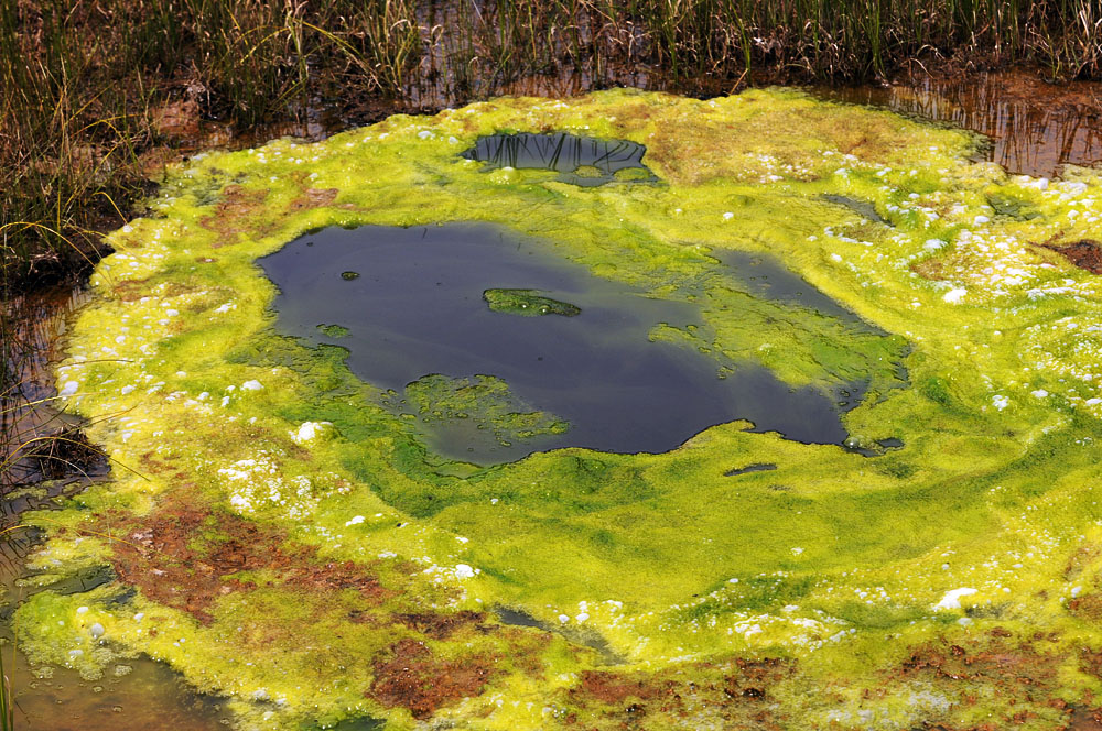
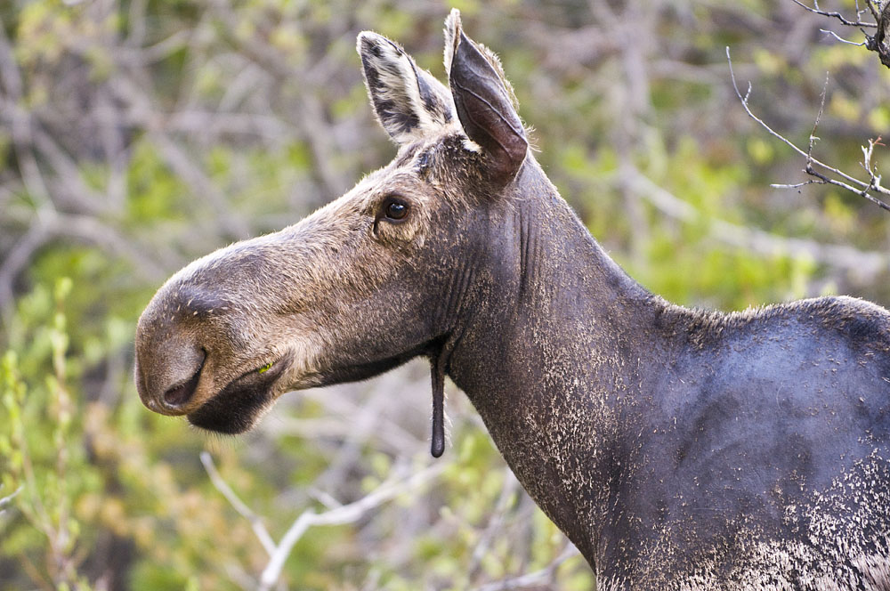
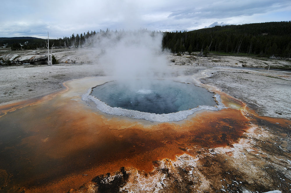
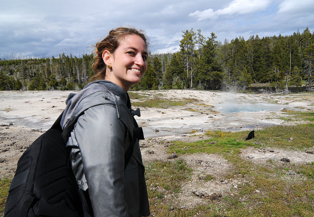
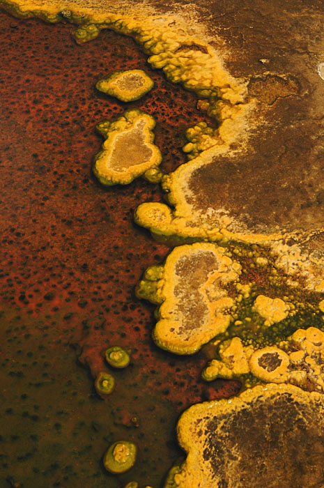
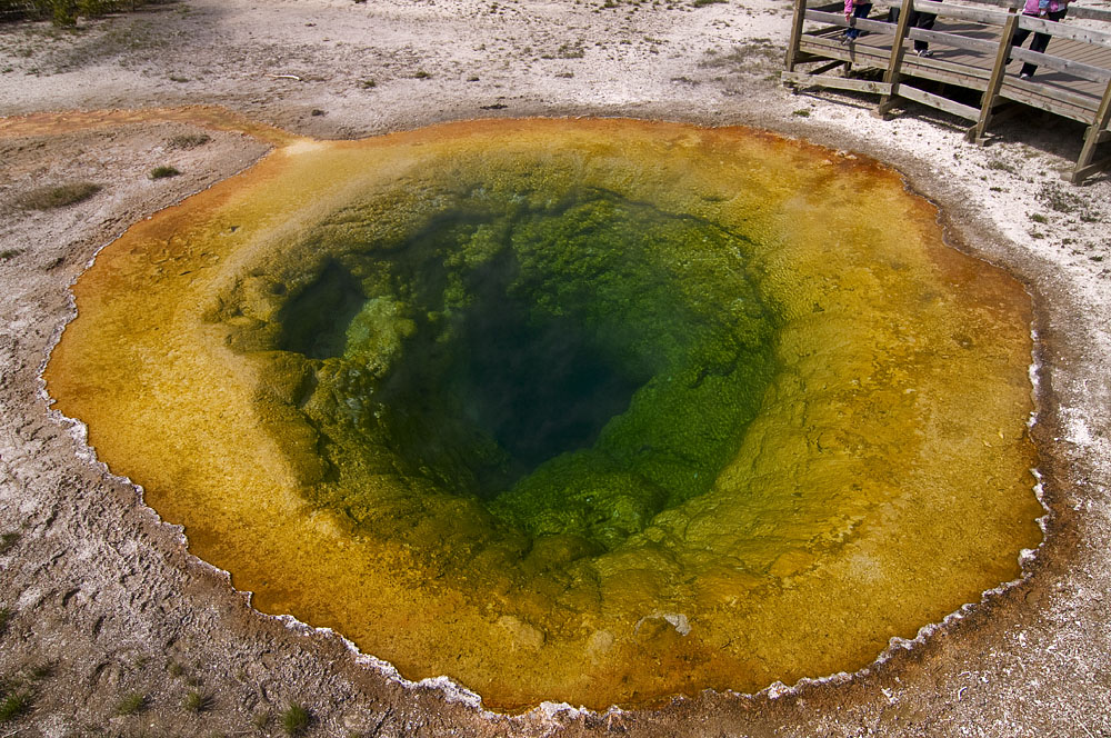
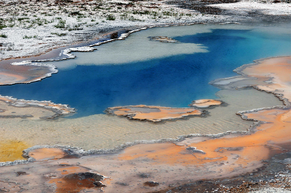
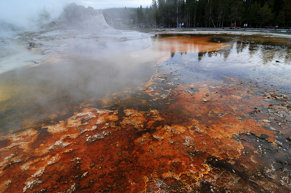
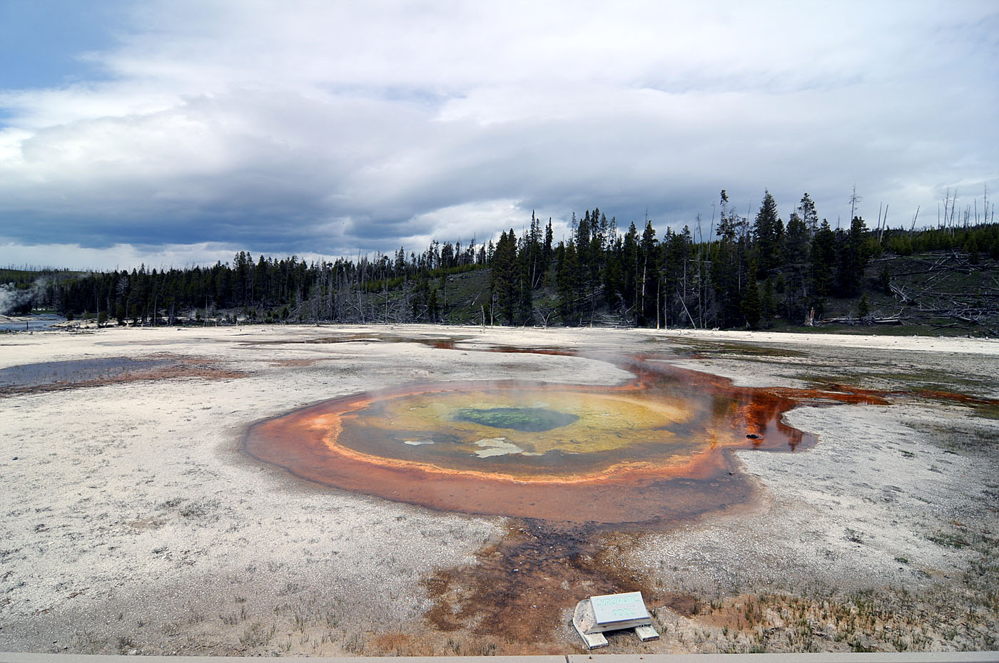
We saw some really excellent geothermal features around the Old Faithful area of Yellowstone yesterday. The geysers and multi-colored pools are some of my favorite things in Yellowstone National Park.
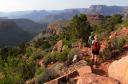
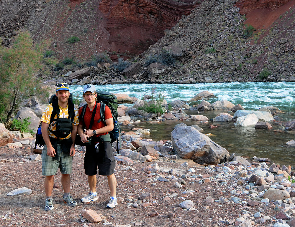
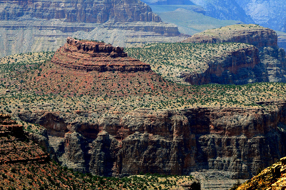
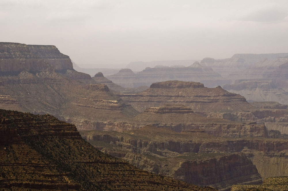
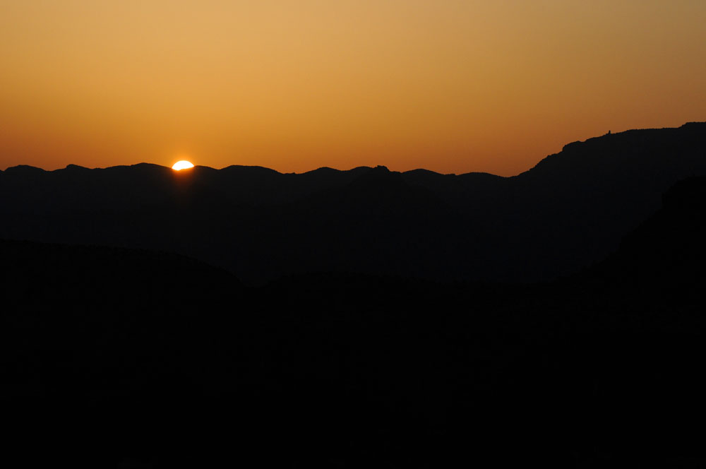
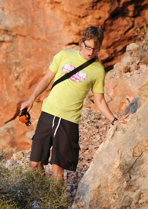
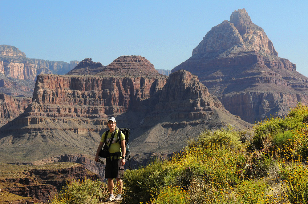
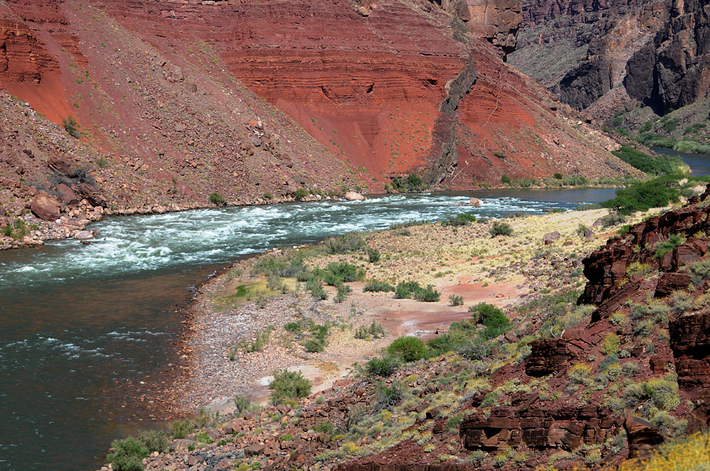
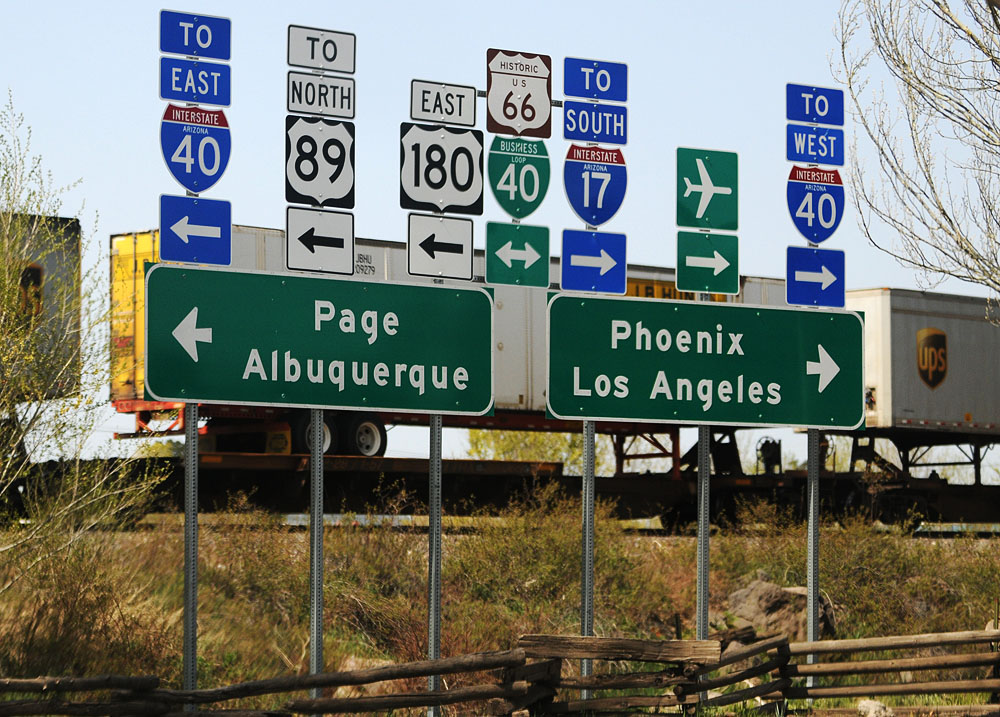
I was wrong about how far we got the first day, we actually stayed that night in Arizona. We made it to the Grand Canyon around noon or so and went to the Backcountry Office to try to get a permit. The woman there was quite helpful and we got a permit for 2 nights.
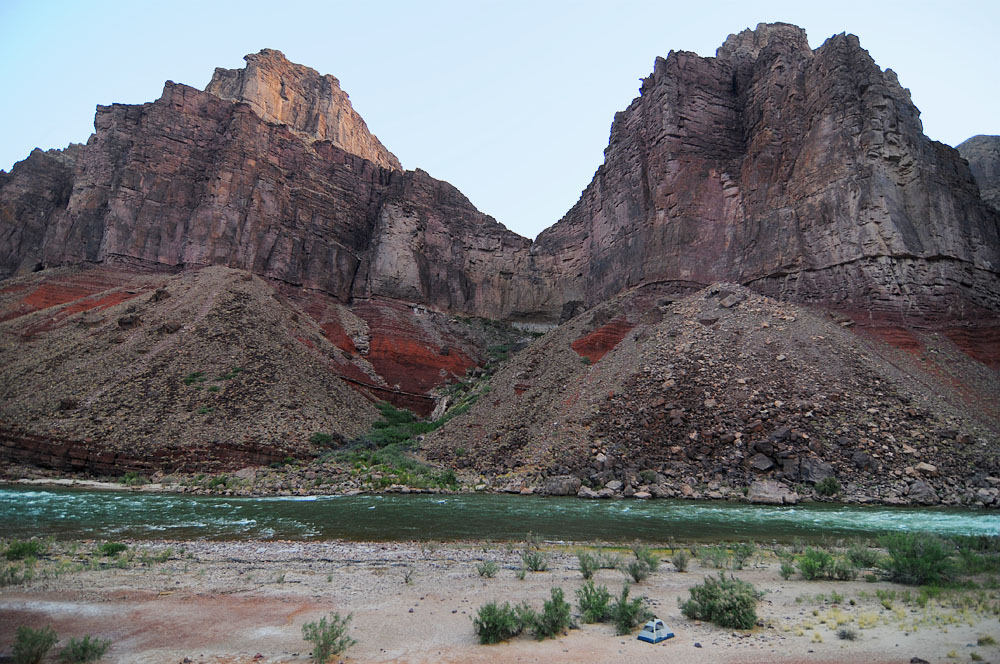
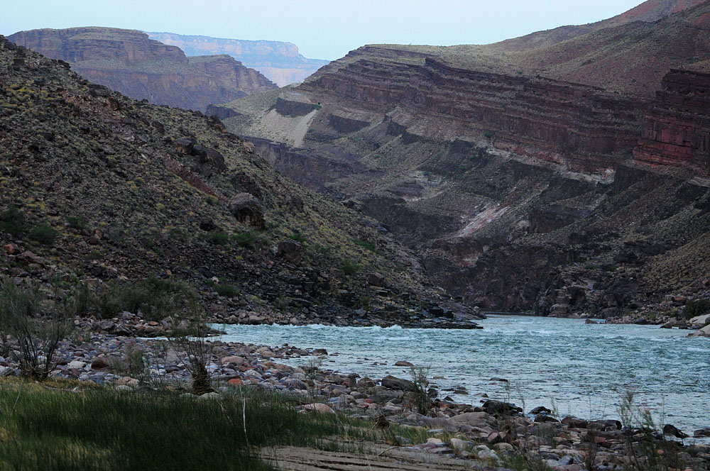
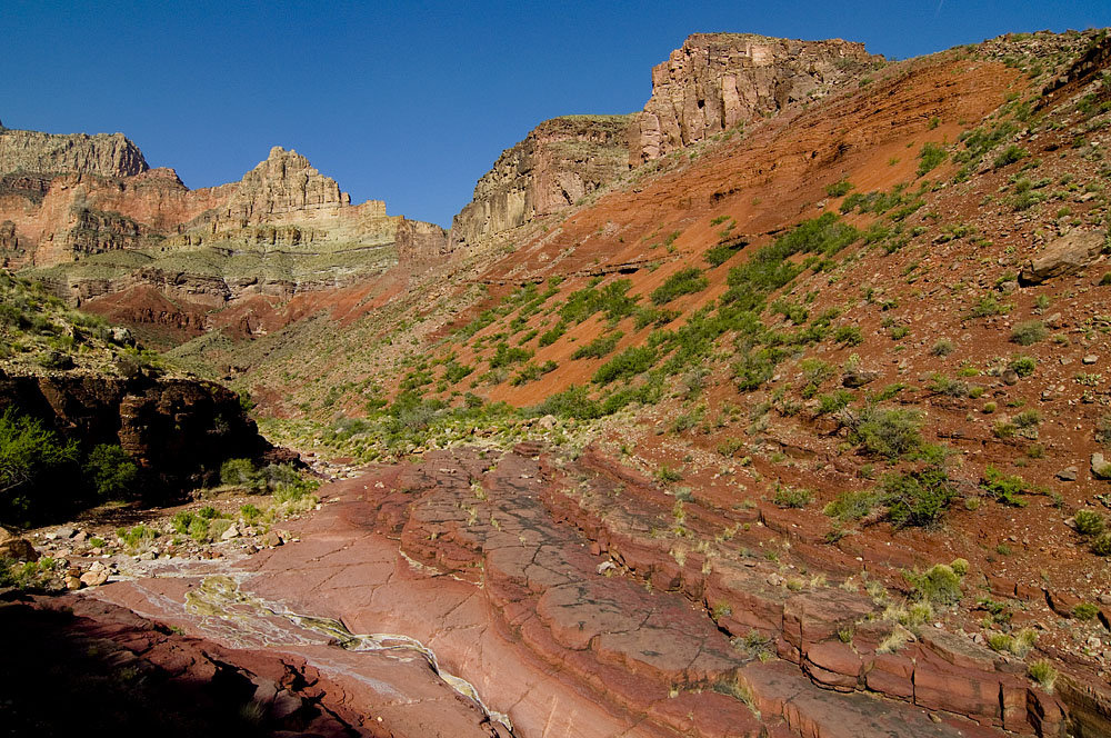
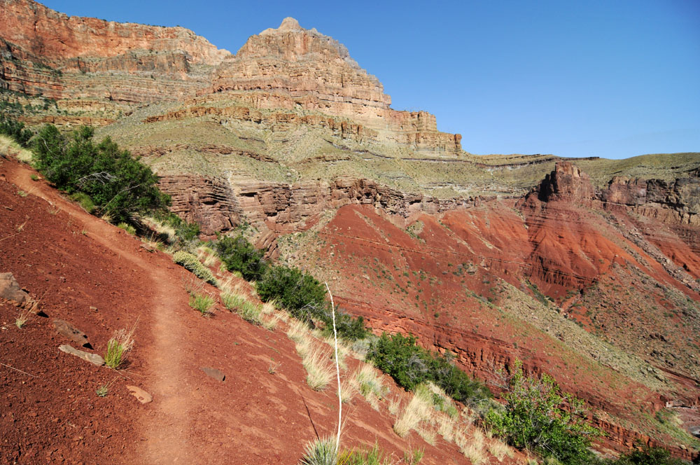
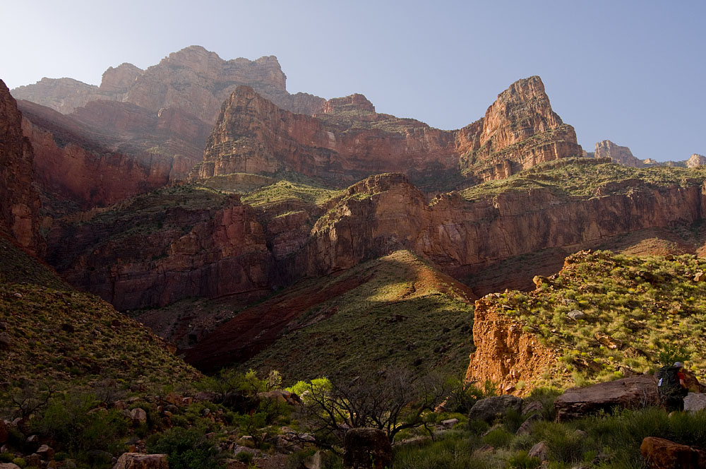
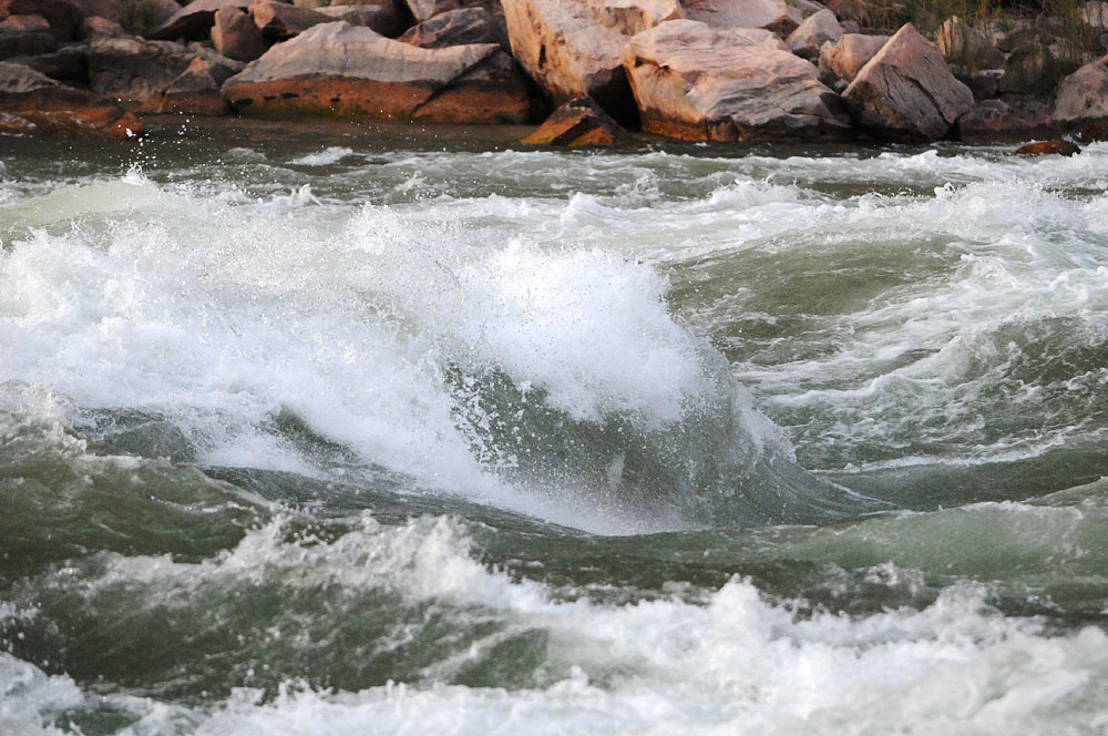
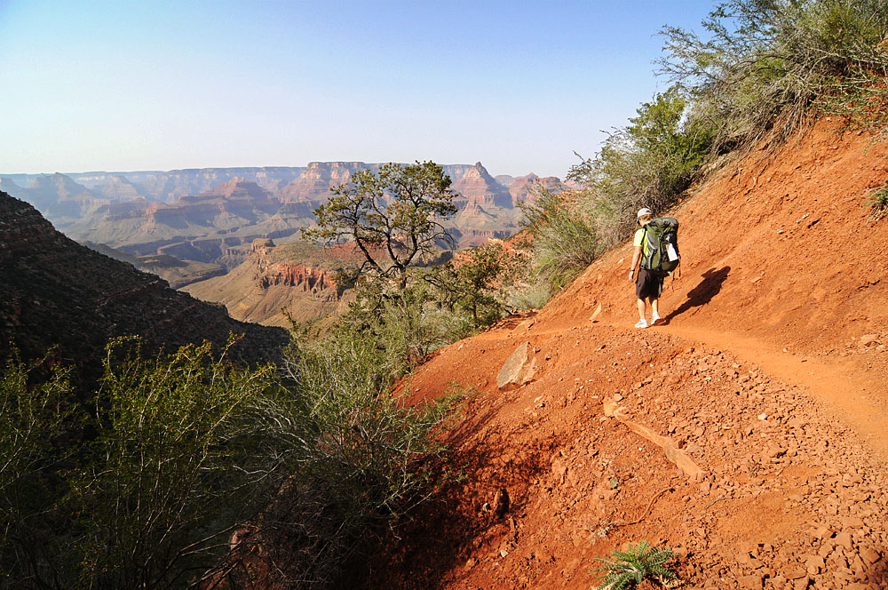
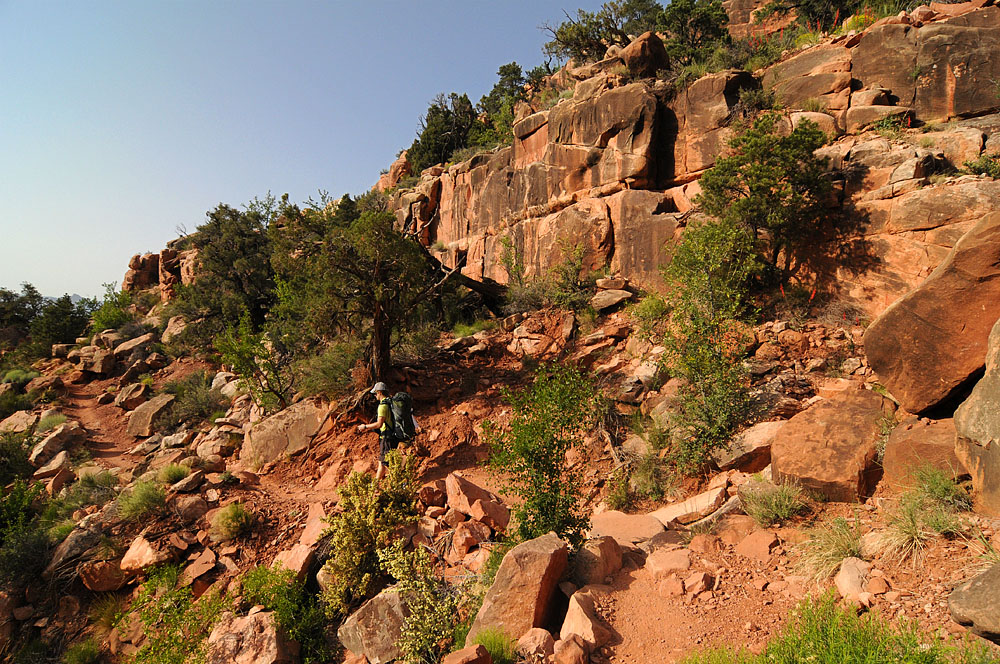
The plan was to to hike down to Horseshoe Mesa via the Grandview Trail once we packed our bags. (I’d been to Horseshoe Mesa over spring break). The next day involved hiking down the east side of the Mesa (all new territory for me now), onto the Kaibab Plateau, upriver and down the canyon ending near the Hance Rapids on the Colorado River. The third day was planned as hiking from the river to the rim via the New Hance Trail.
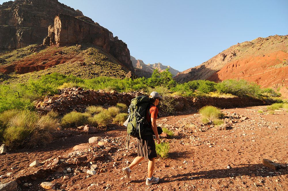
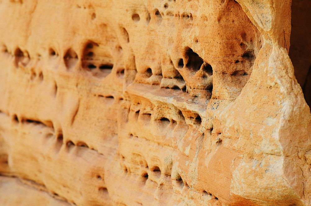
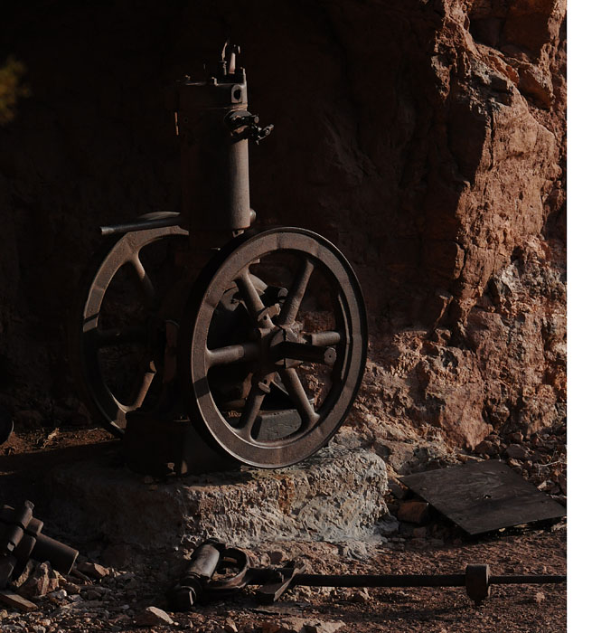
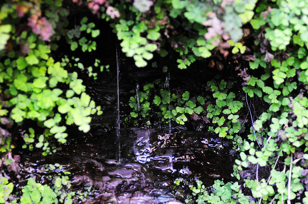
Spring Break the Grandview Trail was covered in snow and ice and made for a hella scary hike. This time everything was totally dry and that made the goings quite nice. It was a mild hike to the mesa and we had time to explore some. We went into the Cave of the domes but didn’t make it to the signatures as Ghostbag hindered our progress.


Over the weekend I went with the MSU Ultimate team down to Pocatello Idaho to play in the end of season tournament for the Big Sky Section.
It is a nice drive and only having to travel 4 hours is basically nothing. We didn’t win the most games but we had fun doing it. It must have been 70 degrees on Saturday which was the warmest weather I’ve been in around here in about 6 months.


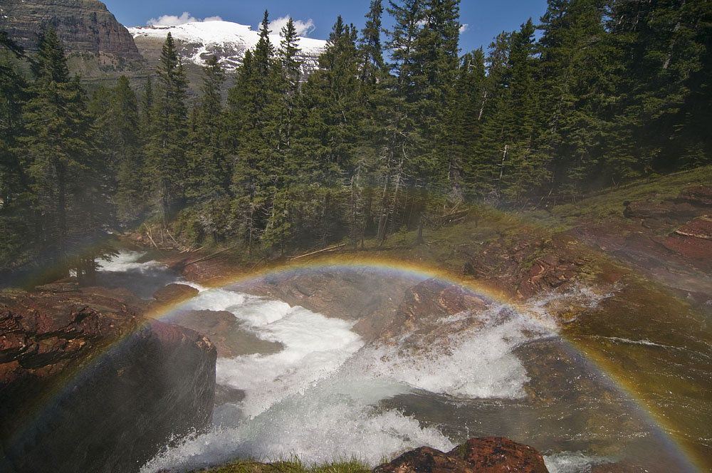
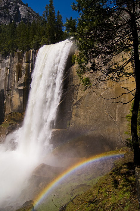
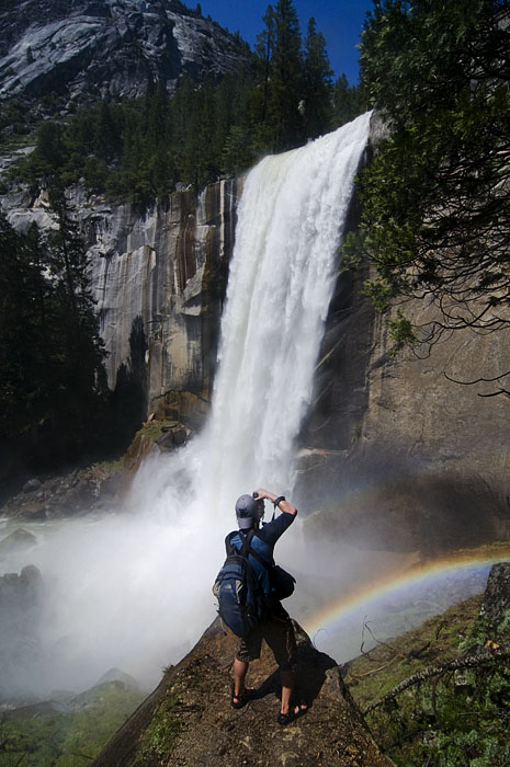
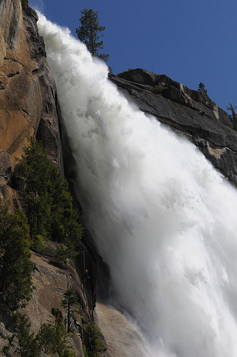
 “Sunshowers that I’m aiming at you, cause I’m watching you my baby”
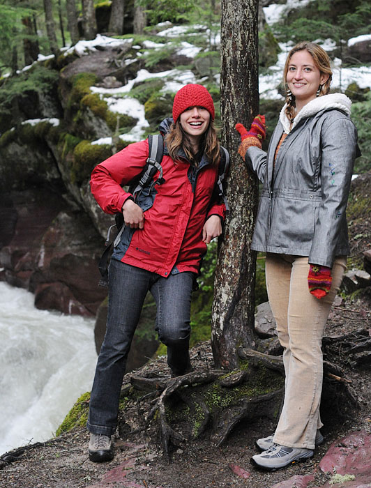


