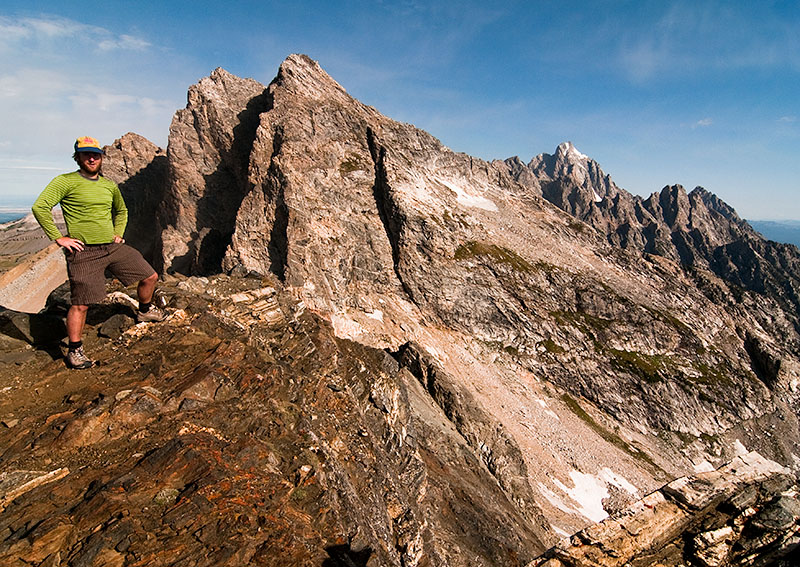
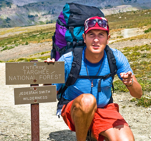
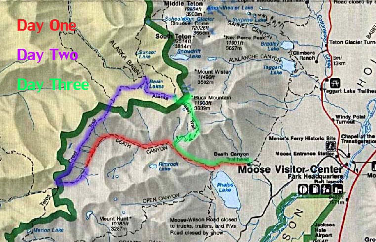
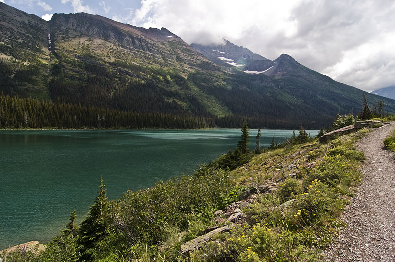
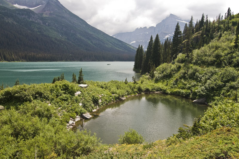
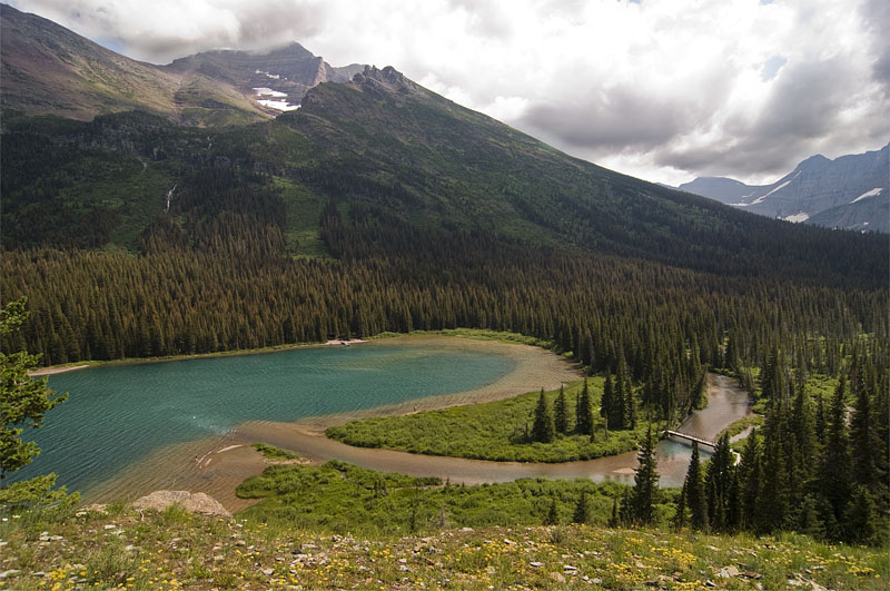
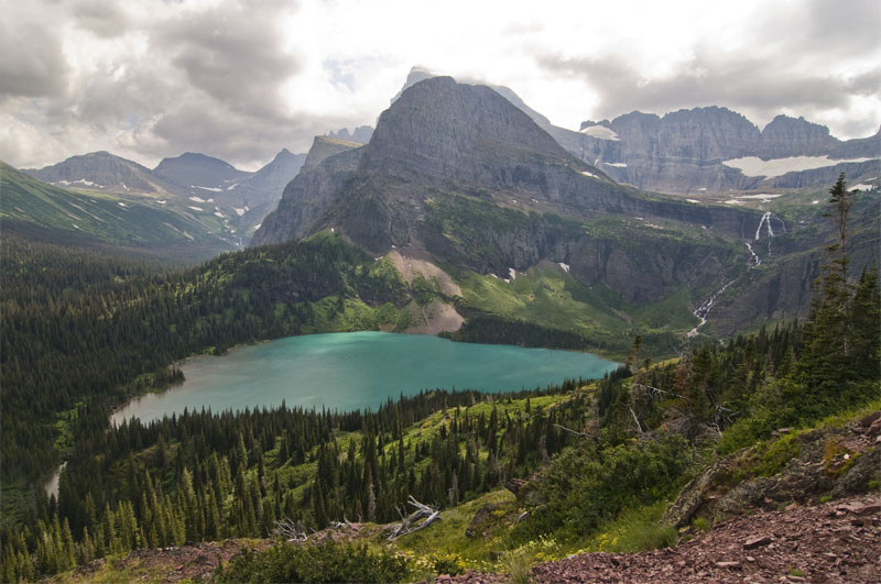
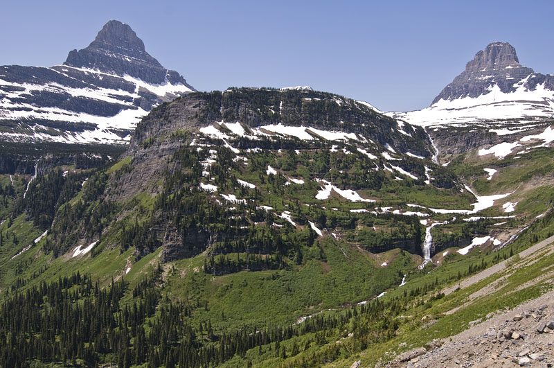
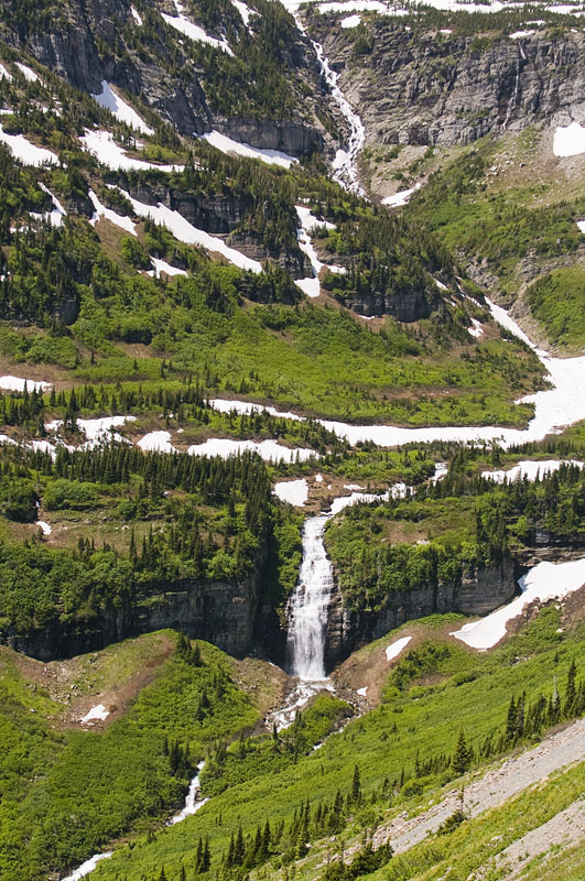
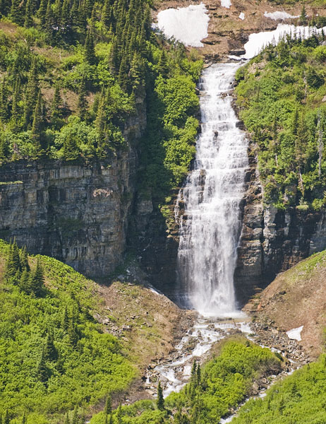
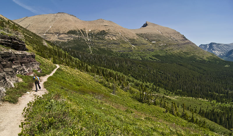
To Static Peak Summit

Sep 14th 2009 — Grand Teton — 9:59 am

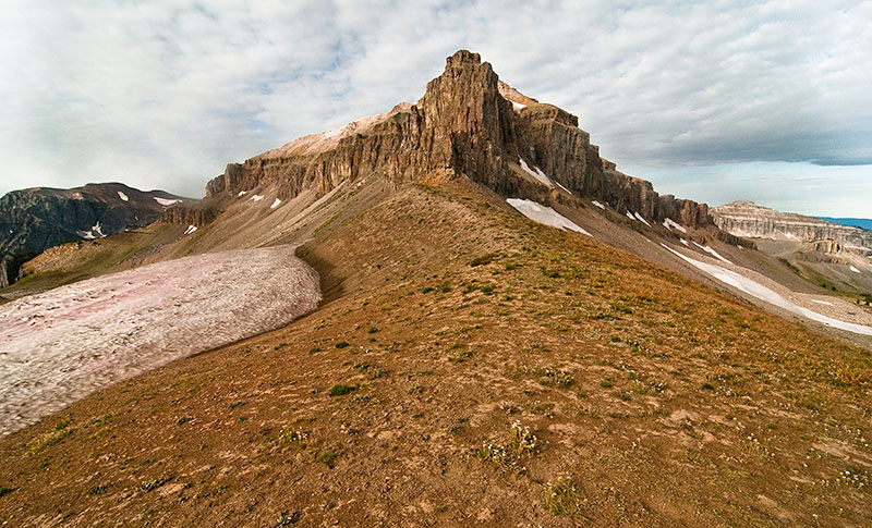
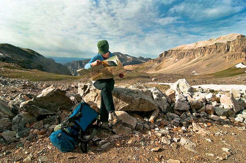
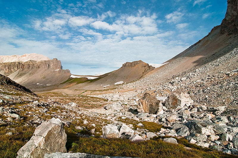
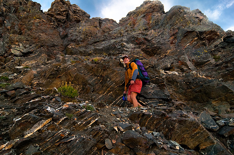
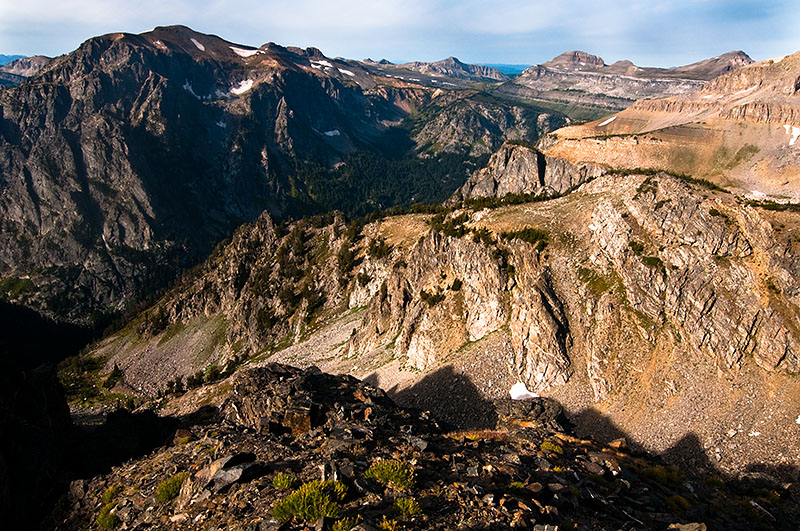
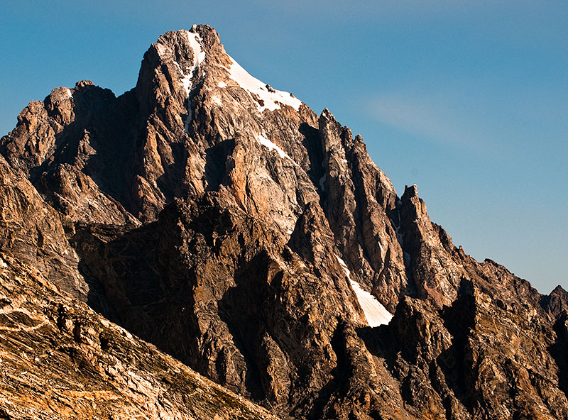
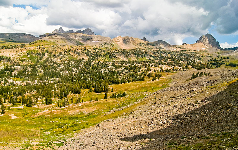
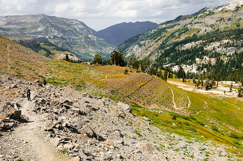
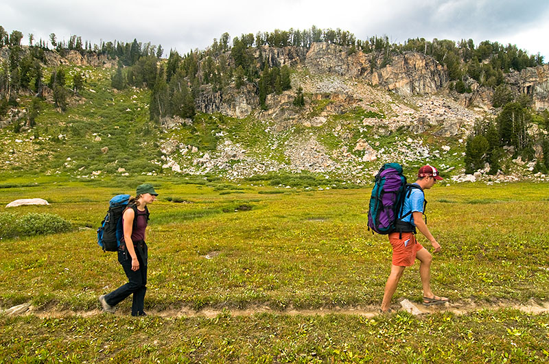
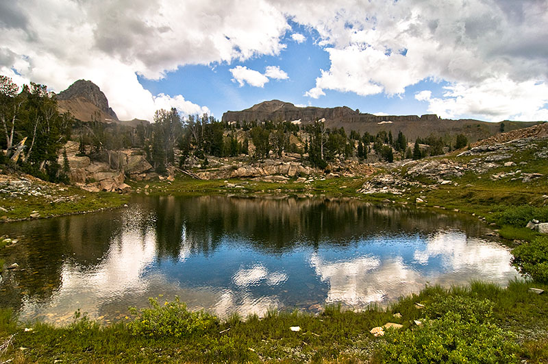
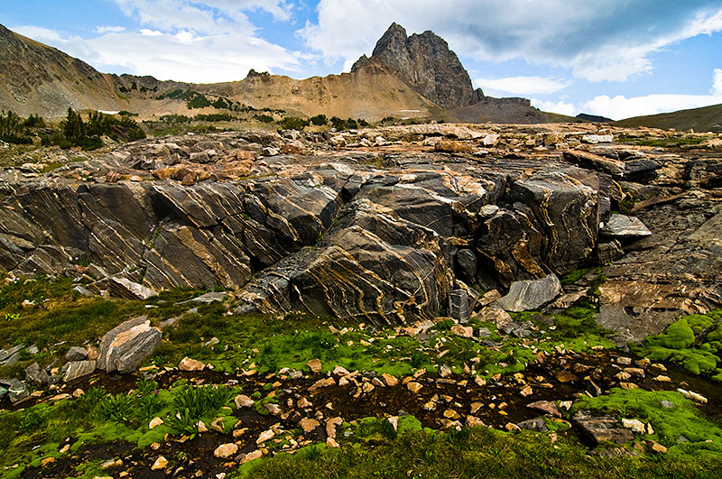
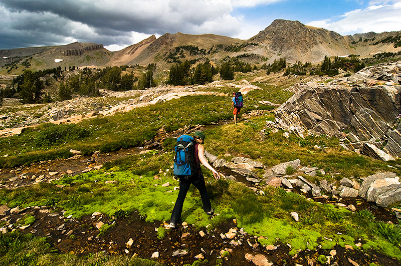
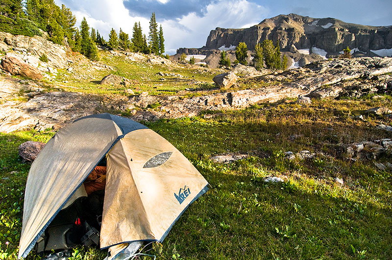
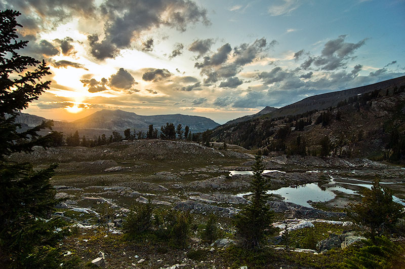
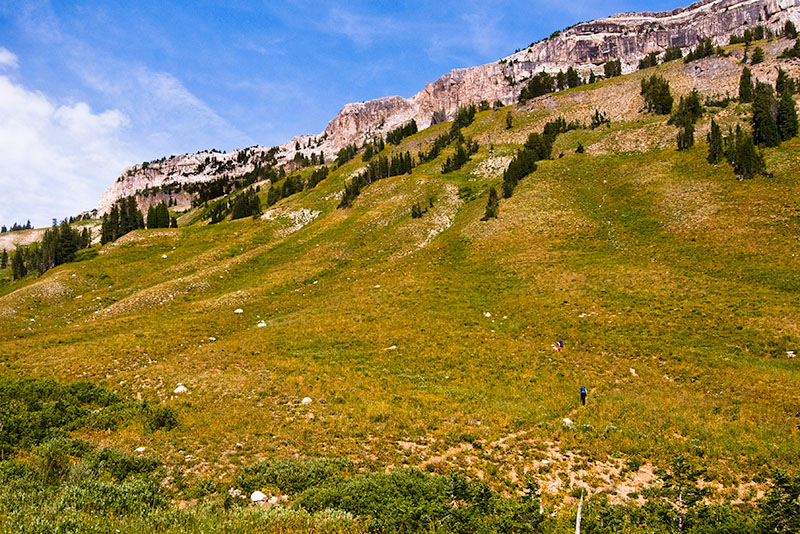
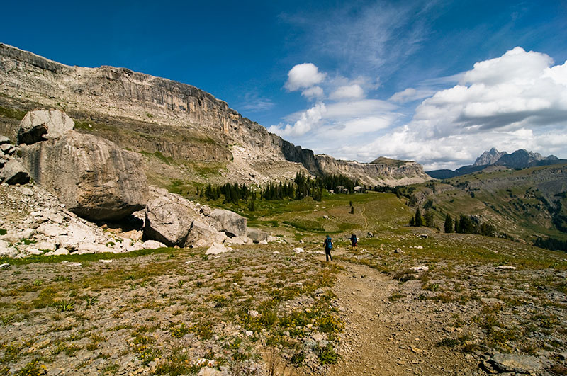
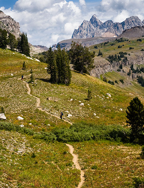
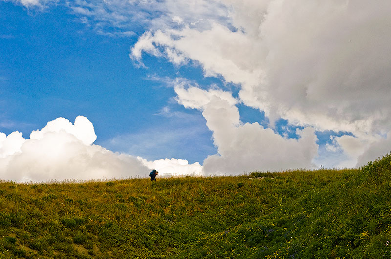
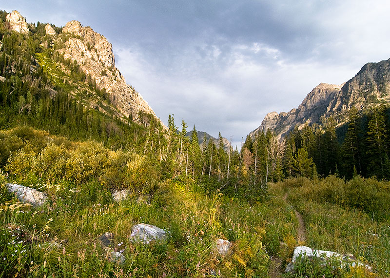
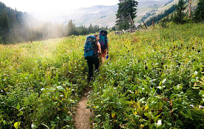
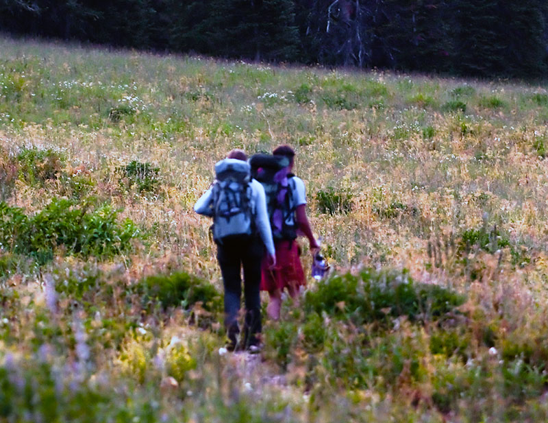
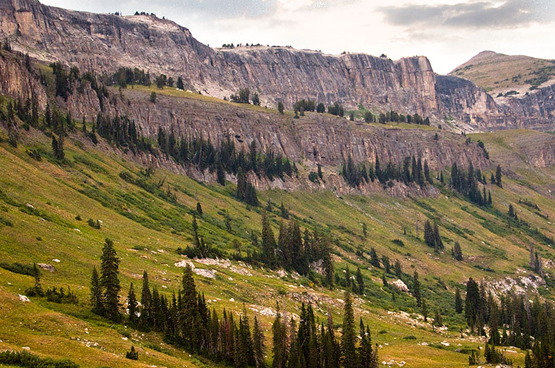
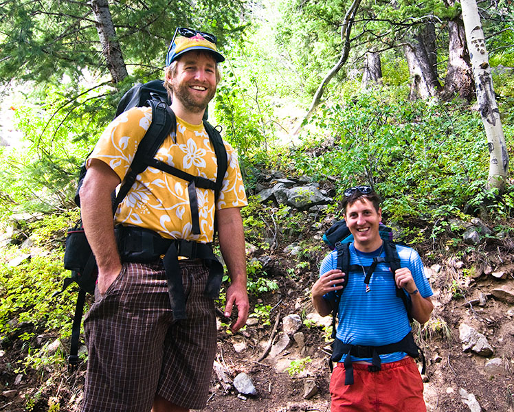
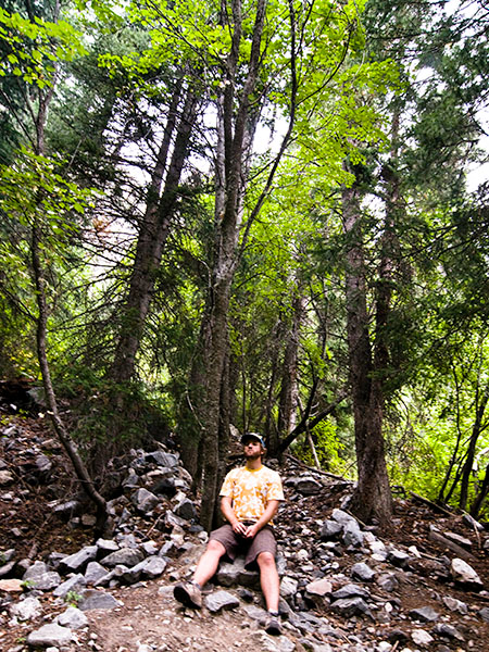
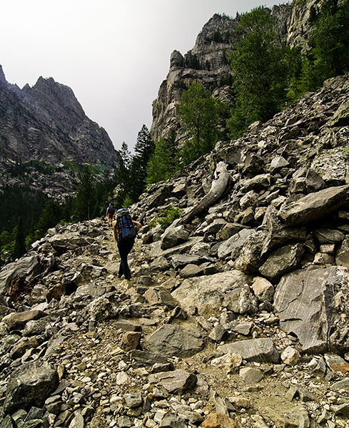
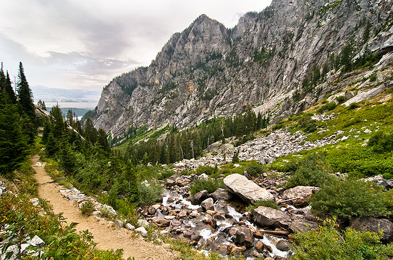
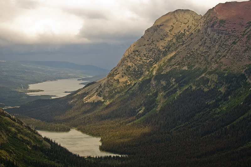
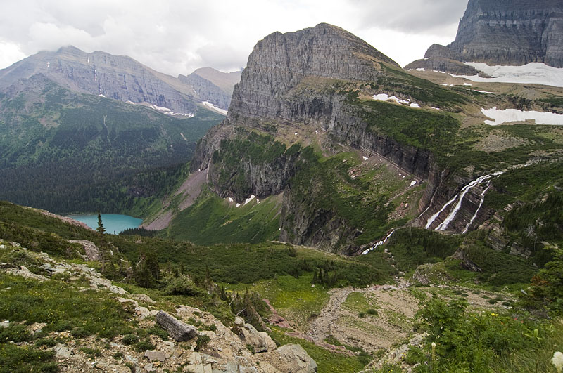
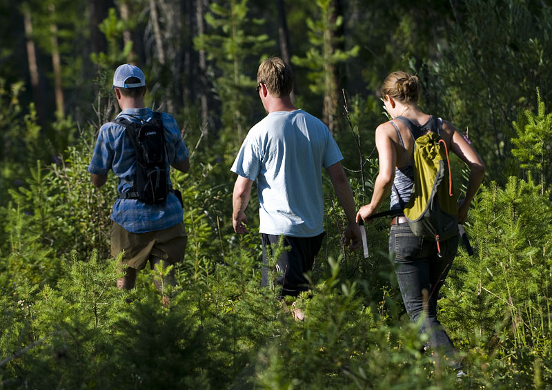
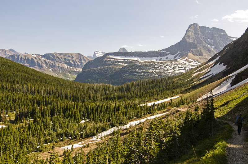
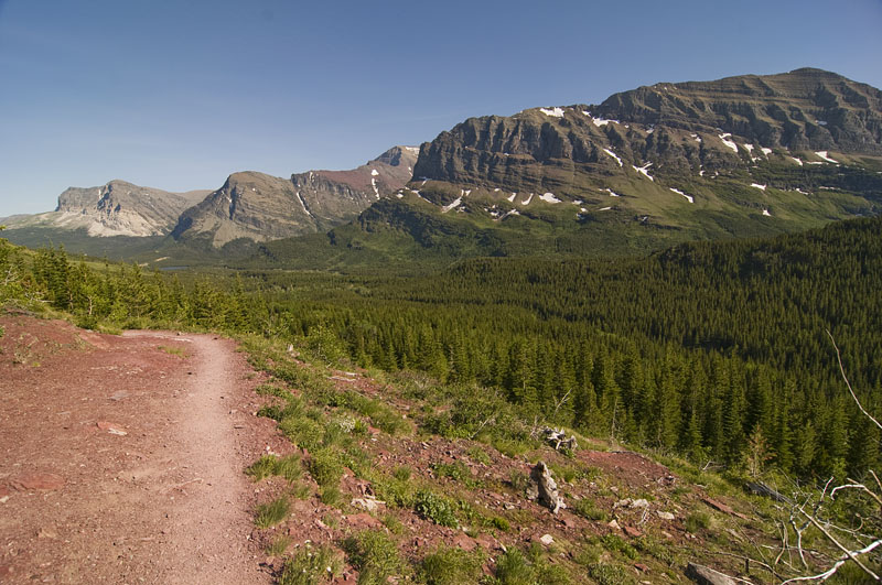
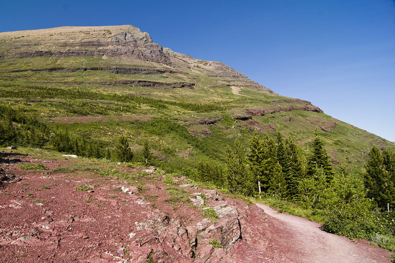
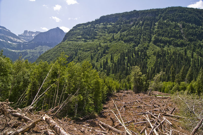
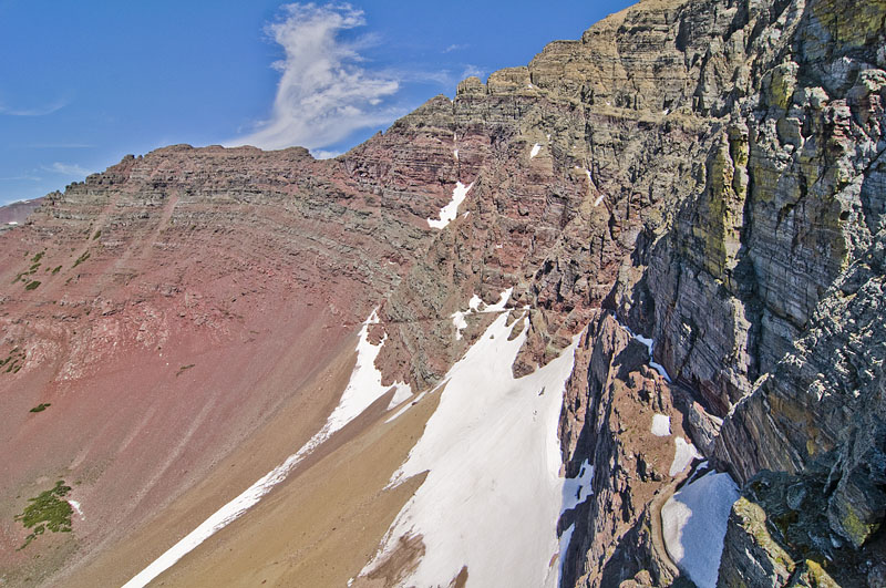
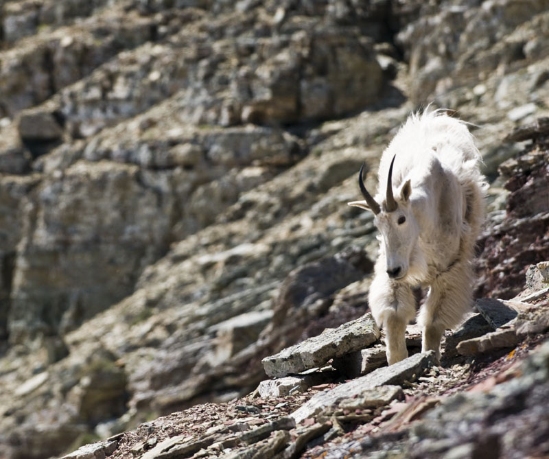
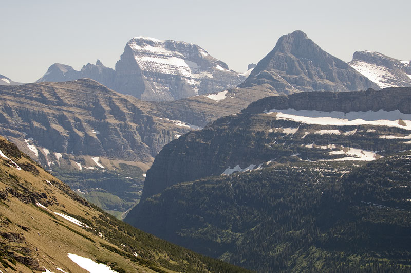
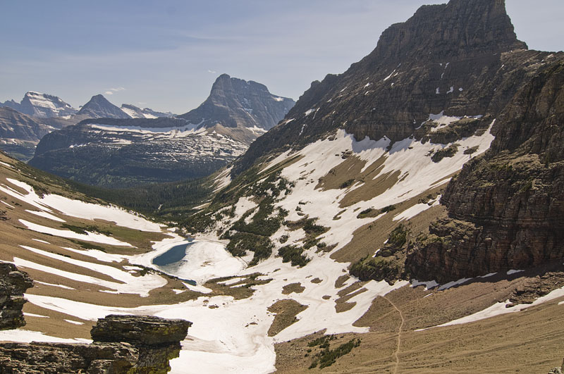
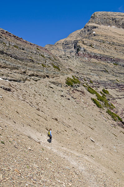
Our last day was the most epic. After eating breakfast and packing up, we hiked out of Alaska Basin, and alongside the base of Buck Mountain. After cutting around Buck Mountain the trail takes you up some really steep mountainside with some amazing views until you are within a couple hundred feet of Static Peak.

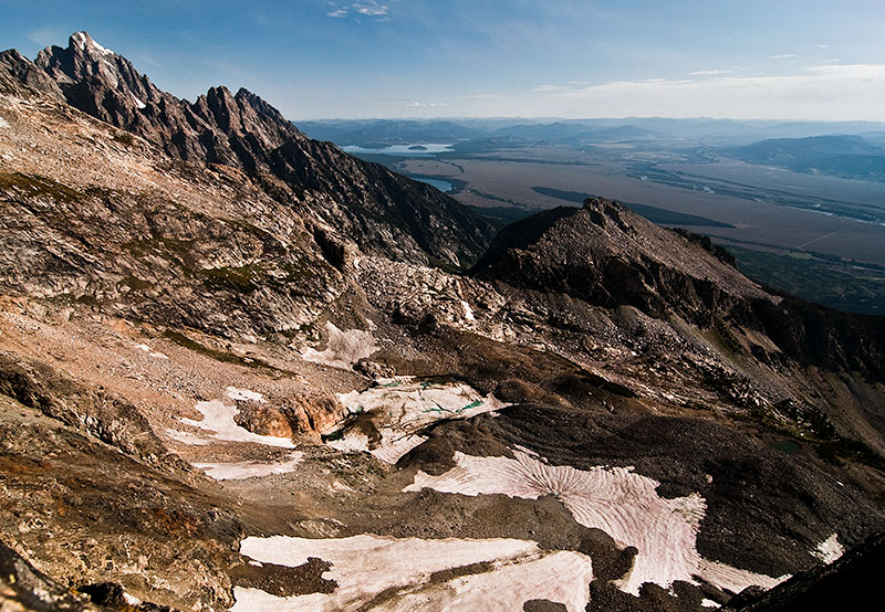
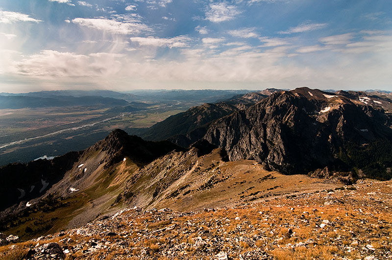
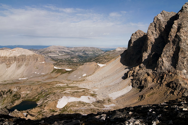
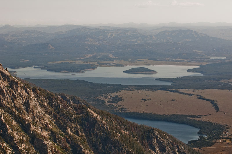
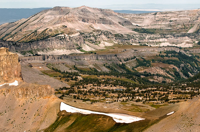
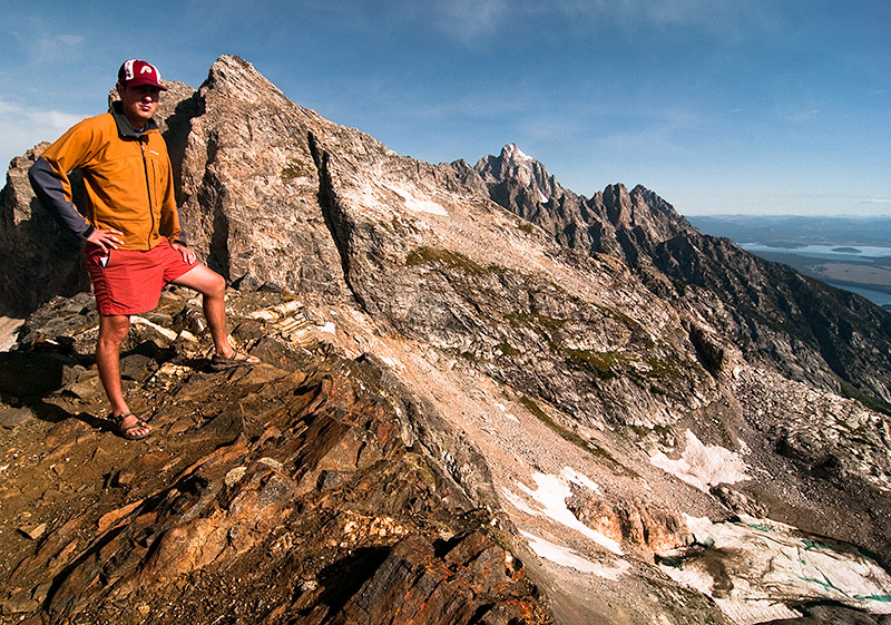
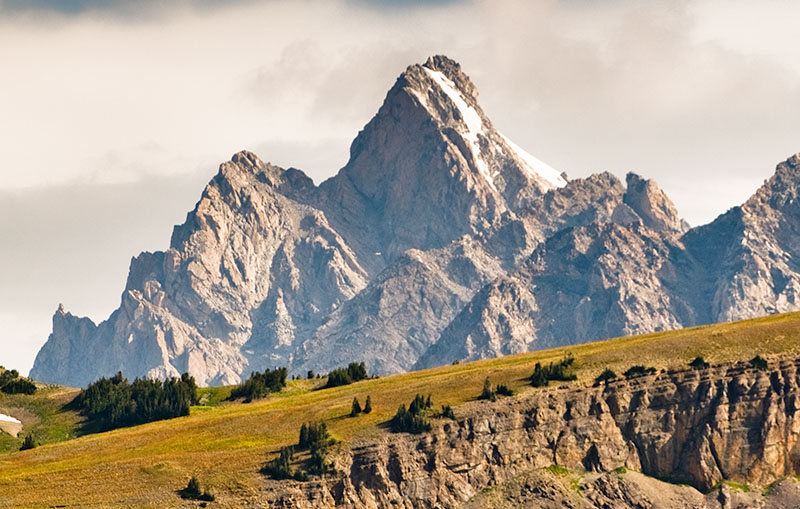
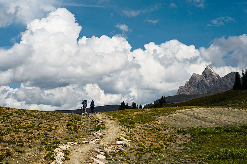
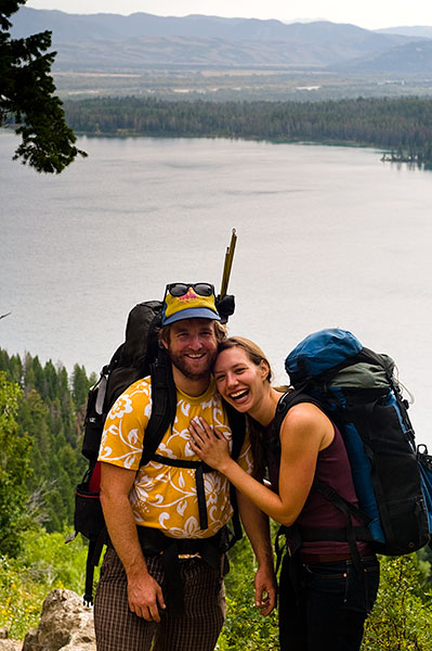
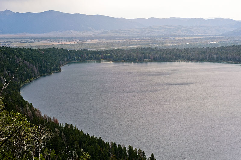
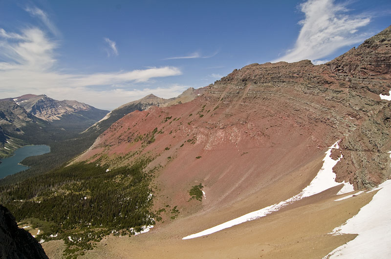
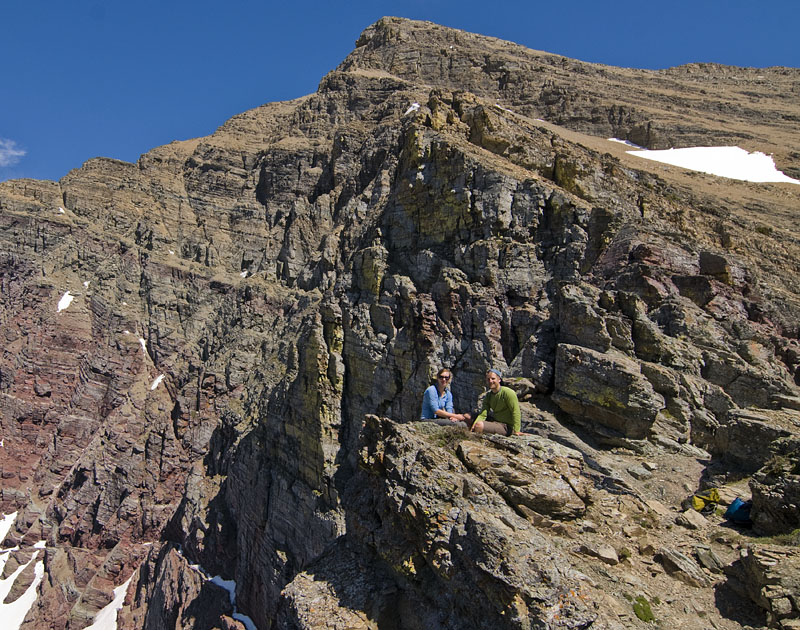
Busy and I made a short excursion to the top of Static Peak and were rewarded with some really nice views of the Grand Teton, Jackson Hole, and the scenery we had been hiking through for the last day or so.

Alaska Basin Saddle Hil Map Checking Beside Buck Mountain Steep Trail Death Canyon View Static Peak View Static Peak Ridge Buck and Grand Teton Buck Mountain and Alaska Basin Grand Teton Jenny and Jackson Lakes Alaska Basin Busy Summit Michael Summit Static Peak Descent

To Alaska Basin

Sep 11th 2009 — Grand Teton — 9:30 am

Alaska Basin Alaska Basin 2 Hiking Lake Moss and Buck Mountain To Campsite Biz after Nap Tent in Basin Sunset

The Tetons: Death Canyon Shelf

Sep 10th 2009 — Grand Teton — 9:40 am

The first part of our second day.

The Grand Teton End of Death Canyon Sign Wildflowers Death Canyon Shelf Shelf Trail Death Canyon Sky Yo Hil and Biz Clouds and Tetons Biz Signs

Teton Backpacking Day 1 Continued

Sep 8th 2009 — Grand Teton — 8:07 pm

A few more pictures from the evening of our first day in Death Canyon.

Stream Death Canyon Walking into Sun Moose Standing Moose over Bushes Hil, Jeff, Field Moose Bright Antlers Up At Death Canyon Shelf Teton Map 2

Backpacking Grand Teton National Park

Sep 8th 2009 — Grand Teton — 1:48 pm

Just got back from an uber-crunk 2 night backpacking trip in the Tetons.

These pictures are all from the first day. We started a little south of the Grand at Death Canyon Trailhead, and hiked about 8 miles or so past Phelps Lake, up into the Canyon, where we camped.

Busy and the Tetons Hilary Aspens Michael Hilary Phelps Lake Michael Busy Ferns Trail Michael Death Canyon Berries Death Canyon and Phelps Lake Moose Flower Death Canyon Stream Crossing Woods

Grinnell Glacier Hike Misc

Aug 2nd 2009 — Glacier — 7:50 am

Gem Glacier Garden Wall Cliffs Waterfall Garden Wall 2 salamander Glacier Grinnell Lake Grinnell Lake Many Glacier Lodge

Grinnell Glacier

Aug 1st 2009 — Glacier — 11:19 am

After 5.7 miles we made it to Grinnell Glacier. The giant steep rock wall enclosing the area is called the Garden Wall, it is part of the continental divide.

If you look at the top of the wall in the 4th picture there is a notch in the Garden Wall above and to the right of Salamander Glacier. You can hike to that point from the Highline Trail. Pictures from that spot from September 2008 are here and from September 2007 here.

Grinnell Lake Grinnell Glacier Chunks Justin Apple Salamander Glacier The Group Bighorn Sheep Bighorn Sheep 2 Bighorn Sheep Lake Josephine and Swiftcurrent

Josephine and Grinnell Lakes

Jul 31st 2009 — Glacier — 11:07 am

On Sunday we camped in Many Glacier and did a hike to Grinnell Glacier. I had attempted this hike with my parents in early June a few years ago. We had to turn back a few miles from the end because there was too much snow in the higher elevation areas. This time there wasn’t any snow blocking the way.

The hike is a little under 12 miles round trip, and offers some spectacular scenery the whole way.

Lake Josephine Lake Josephine 2 Lake Josephine 3 Grinnell Lake Grinnell Lake 2 Hil Waterfall Looking Back Grinnell Lake Grinnell Lake

Glacier National Park Westside

Jul 30th 2009 — Glacier — 9:02 am

The next day we drove up to Glacier National Park. We got there in the afternoon and being the middle of summer most of the campsites were already full so we drove out on the Inner North Fork Road to Logging Creek Campground.

There was a really excellent thunderstorm that night with a lot of thunder but not much rain. Thunder always reminds me of North Carolina.

Deer 3 Hikers Flower Logging Creek Burn Indian Paintbrush Hil Charlie Me

Glacier National Park Assortment

Jul 2nd 2009 — Glacier — 9:46 am

The final pictures of the hike and some miscellaneous pictures of our last day in Glacier.

Back from Ptarmigan Lake Approaching Many Glacier Hillside East of Logan Pass Waterfall Zoom 1 Waterfall Zoom 2 Mountain Goat Mountain Goat with Kid Mountain Goat Kid Mountain Goat with Kid 2 Sun Road Avalanche Trail of the Cedars

Close Encounters of the Goat Kind

Jul 1st 2009 — Glacier — 10:09 am

Three mountain goats joined us for a little while as we were enjoying the view. Mountain goats are seen quite a bit in Glacier, but it was interesting to see them in their natural environs rather than right beside the road.

I also added a “Wildlife” category if you want to scope out other pictures of ferocious beasts.

Ptarmigan Tunnel Trail Ptarmigan Tunnel Trail 2 Mountain Goat 1 Mountain Goat 2 Mountain Goat Tongue Mountain Goat 3 Mountain Goat 4 2 Mountain Goats 2 Mountain Goats Again Mountain Goat Climbing Mountain Goat Climbing Find the Goats Mt Gould Ptarmigan Lake View Going Down

Iceberg Lake to Ptarmigan Lake and Tunnel

Jun 30th 2009 — Glacier — 8:48 am

The Iceberg Lake is a 10 mile out and back hike. About 3 miles from the start there is a turnoff for Ptarmigan Lake. Coming back we decided to check it out.

Iceberg Lake Small Lake Glacier Stream Trail Ptarmigan Lake Going Up Ptarmigan Tunnel Door Michael and Hilary The Belly River Valley

Late June Weekend in Glacier National Park

Jun 28th 2009 — Glacier — 10:53 pm

Hilary and I went to Glacier National Park over the weekend. Saturday was spent doing a pretty amazing hike to Iceberg Lake and then to the Ptarmigan Tunnel. Here are some pictures of the Going to the Sun Road from Friday evening and the start of our hike on Saturday.

Birdwoman Falls and Mt. Oberlin Haystack Creek Falls and The Going to the Sun Road Going to the Sun Road Beside Our Campsite To Iceberg Lake Towards Iceberg Lake Back Towads Many Glacier Hilary and Ptarmigan Wall Iceberg Lake

Biking in Glacier National Park

Jun 21st 2009 — Biking,Glacier,Montana and Idaho Loop — 4:25 pm

The third day we rode from Bigfork to West Glacier. The Adventure Cycling Map had a nice backroad to take for much of the way. We camped at Sprague Creek after discovering that Avalanche wasn’t going to open for another 4 days.

The road was closed at Avalanche for cars due to the clearing of the winter’s snow off the Going to the Sun Road. However, bikes were allowed to go 10 miles or so further up to The Loop, the single switchback in the Sun road. It was an unexpected surprise to be able to have the whole road to ourselves for a decent distance.

After the ride we did the short hike up to Avalanche lake.

The next morning we departed, backtracked to Columbia Falls, and headed north towards Eureka, Montana.

Barn Flathead River Macdonald Creek and Garden Wall Mcdonald Creek Avalanche Heavens Peak Avalanche Creek Avalanche Lake Lake Mcdonald

Biking Video

May 7th 2009 — Biking,Canyonlands,Utah — 10:32 pm

Here is a short video I took when when were riding our bikes in Canyonlands. I believe those are the La Salle Mountains. The video messes up at the end when I had to stop myself from eating it.

« Previous PageNext Page »
This work is licensed under a Creative Commons Attribution-Noncommercial-Share Alike 3.0 Unported License.
(c) 2026 michaelsulock.com