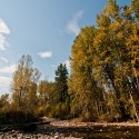
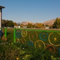
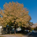
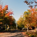
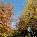
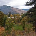
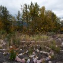
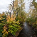
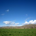
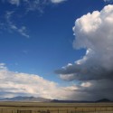
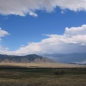
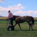
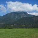
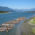
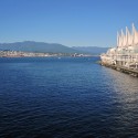
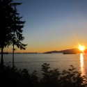
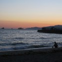
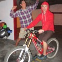
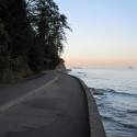
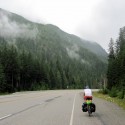
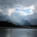
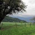
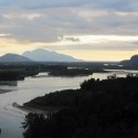
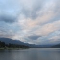
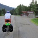
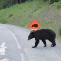
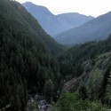
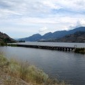
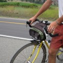
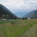
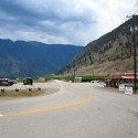
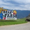
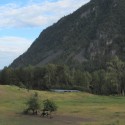
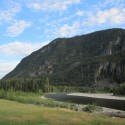
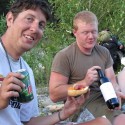
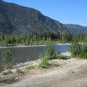
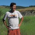
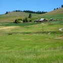
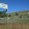
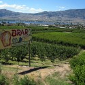
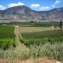
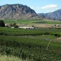
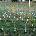
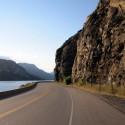
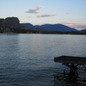
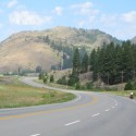
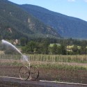
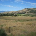
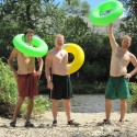
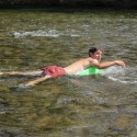
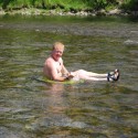
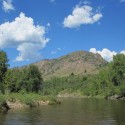
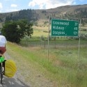
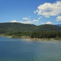
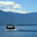
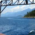
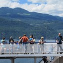
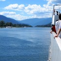
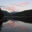
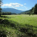
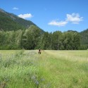
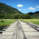
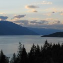
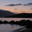
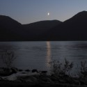
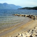
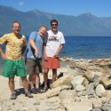
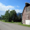
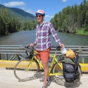
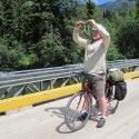
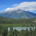
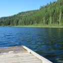
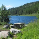
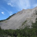
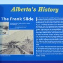
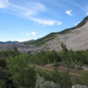
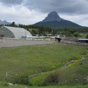
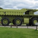
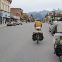
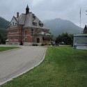
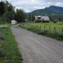
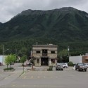
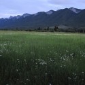
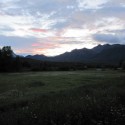
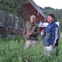
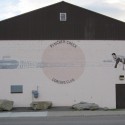
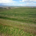
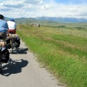
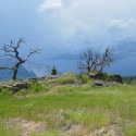
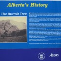
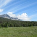
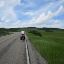
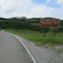
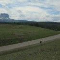
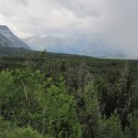
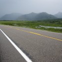
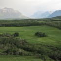
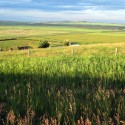
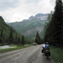
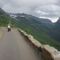
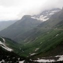
Taken over the weekend on a drive from Missoula to Dillon.
To Vancouver
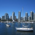
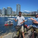
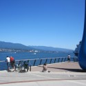
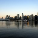
On day 14 we finally made it to the heart of Vancouver in the early evening. The final 20 miles or so of biking into a large city are rarely very fun. Downtown Vancouver itself is very pro-bicycle though, with lots of dedicated bike lanes.
Day 13 – Hope, BC and Highway 7 to Kilby Provincial Park
We had camped up in the mountains, and the day started with a big downhill. It was also raining, which made going 35-40mph on your bike that much more exciting. The rain stopped once we got down to flat ground, which was certainly welcome. After that it was pedal pedal pedal to Hope, a lovely city about 100 miles east of Vancouver. Our first shower in some time was taken at their aquatic center.
Day 11 – Over the Cascades
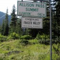
Somehow my days on this trip are off. We left on a Saturday and got into Vancouver on a Friday, which is 14 days. There were only 2 more days of riding to Vancouver after this one though.
Day 10 – Almost to Princeton
The day started with a climb out of Okanagan Falls. We took the 3A south to Keremos, and then met highway 3 and turned west towards Vancouver. Several locals had told us to take Old Hedley Road, the old highway, into Princeton.
Day 9 – Swimming in Osoyoos, Sleeping in Okanagan Falls
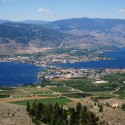
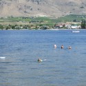
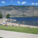
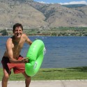
Another warm day, and another day with a big stop to do some swimming. Osoyoos is a beachy tourist town, and for me it was unexpected. After we had swam it up we turned north so we didn’t have to restart our day by biking continuously uphill. We basically were able to delay climbing until the next morning, which was quite a bit more pleasant.
For some reason around this point a steady stream of young people that were either actually homeless, or felt it was fashionable to look homeless, started. We weren’t sure if there was a music festival (festy) they were all going to or if the area was a well known place to bum around in.
Day 8 – A Stop at Grand Forks
The weather stayed warm, and we ended up killing some time during the middle of the day in and around the lovely town of Grand Forks.
Day 7: A Ferry Ride and Onward to Nelson
The weather had gotten fairly warm by this part of the trip. We biked up the east side of Kootenay Lake and then took the free ferry from Kootenay Bay to Balfour, BC. The next 3 hours or so were spent on a picnic table in the shade watching the drama unfold as people congregated while waiting to take the ferry the other direction. We stopped and ate dinner in Nelson, probably the most happening spot we’d seen since Fernie.
Day 6 – Detour – The 3A to Kootenay Lake
Leaving mineral lake was a bit of an adventure, but once we were back on the main road the biking was relatively easy. Several people had told us that the route to take was to go north from Creston along Kootenay Lake and take the free ferry across. This apparently avoided a big pass with about 30 miles of continuous uphill.
Kootenay Lake is enormous, and you knew that since you had to follow the lakeshore for awhile you wouldn’t have to do any serious uphill. We ended up camping right on the lake, although having a campfire was no longer an option due to a fire ban.
Day 5 – Fernie to Mineral Lake
After Fernie the biking was downhill the entire day. After facing days of headwinds and mountain passes, staying above 20mph for hours at a time was glorious. It was possibly the first day where we thought going east to west was a good decision. I think these were the only 6 pictures I took that day.
Day 4 – Crowsnest Pass to Fernie, British Columbia
The next morning we biked through the Municipality of Crowsnest Pass still battling a strong, constant headwind. We stopped at their visitor center and were lured in by the free internet and comfortable chairs. The problem was we had an excellent view of the wind thrashing the trees outside and were extremely unexcited about leaving our cozy spot to battle it.
There was talk of staying the night at the visitor center, or possibly (gasp) trying to get a ride. After several hours of napping and reading all the great literature on activities in Alberta we put on our coats and gloves and ventured back into the fray.
There was more headwind for about 4 miles, then we saw a sign saying we were in British Columbia, followed by a stretch of downhill. Almost at the exact second we saw the sign, the horrendous wind that had been making biking so unpleasant for the last 2 days stopped completely, never to return. It was remarkable.
We stopped and had a picnic, and made many remarks of the wonderful stillness. Needless to say we had developed an immediate fondness for British Columbia.
Biking Glacier NP to Vancouver – Day 3 – Pincher Creek to Bellevue
We didn’t heed the local’s warning about getting an early start, and ended up rolling out at about 11am, partly because I noticed my first (and only) flat of the trip right before we were about to leave.
Highway 6 went north briefly, and then we turned and headed west on the road that would eventually take us to Vancouver, highway 3. This was unfortunate because the mountains were to the west of us and the wind was coming out from them headed directly east. Once we turned onto highway 3 we had a constant headwind of maybe 20 to 30 mph, which makes a huge difference when you are biking. The traffic was pretty heinous at this point as well, which combined to produce our least-pleasant day of biking for the trip.
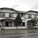
After a few hours of this madness it was time for lunch. We stopped at the Bellevue Inn to eat our food and drink their beer. After an hour or so the storm came in and horizontal rain made sure we weren’t going anywhere. As a result we ended up hanging out with what likely constituted about half the town of Bellevue.
There was Larry, whose name was on a plaque as the 2-time (and only recipient) of the local award for bullshit. He was working hard on his 3rd. His friend Frank ended up telling me about good places to strike it rich panning for gold in Washington. Junior was there with his wife and bought us all a round. By the evening the weather had cleared and we received the crucial local info about a good place to pitch the tent right down the road.
Biking Glacier NP to Vancouver – Day 2 – Chief Mountain Highway to Pincher Creek
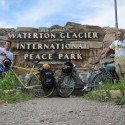
Our second day took us across the border in Alberta, Canada. Pincher Creek seemed like a pleasant enough town, but the hundreds of windmills surrounding it were an ominous sign. We were warned by some locals to get an early start the next day to avoid the infamous Chinook Winds, which Wikipedia claims have been responsible for derailing trains.
Biking Glacier NP to Vancouver – Day 1 – Glacier National Park
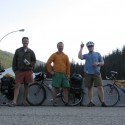
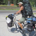
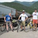
In July Jeff, Andy, and I biked from West Glacier, Montana to Vancouver, British Columbia. The whole trip was about 900 miles and it took exactly 2 weeks.
Our first day we biked through Glacier National Park on the Going to the Sun Road, it was quite an epic start.
