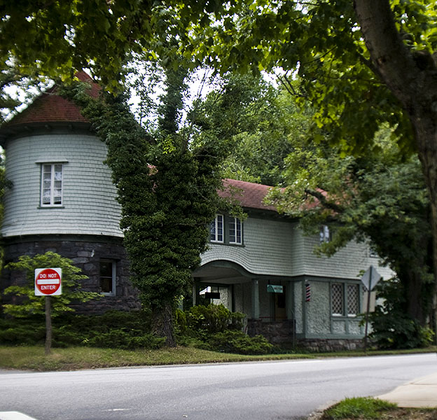
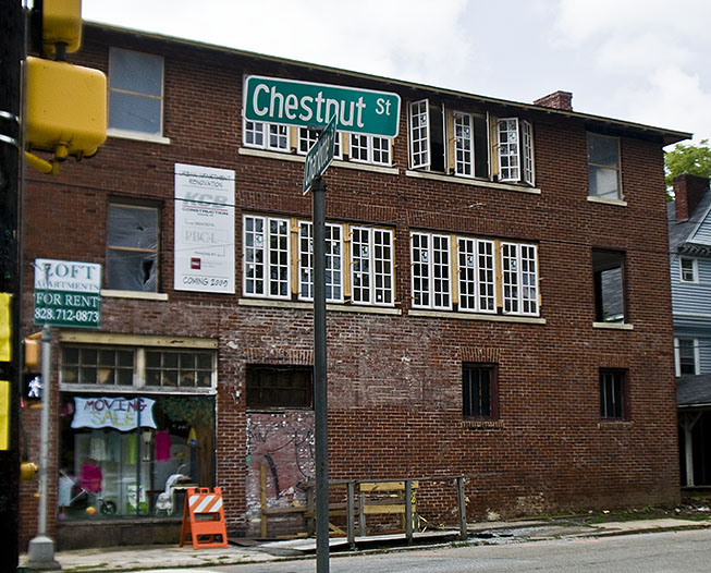
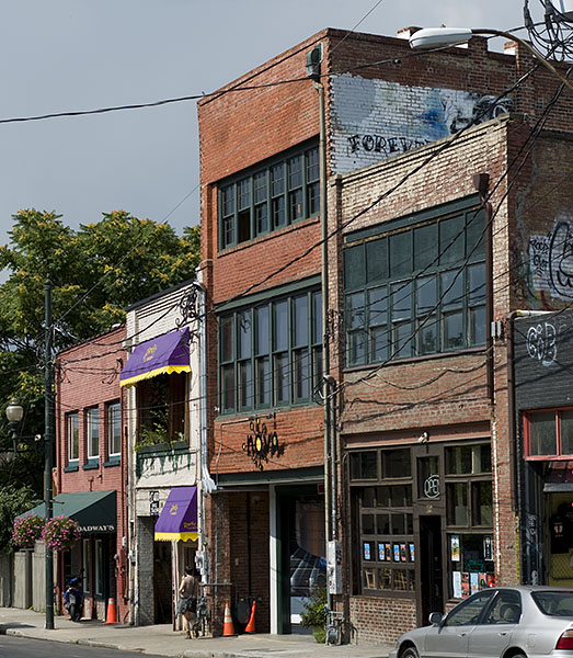
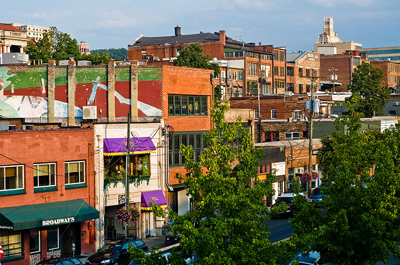
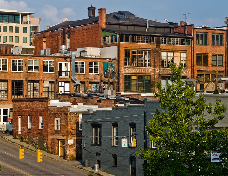
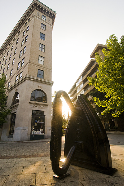
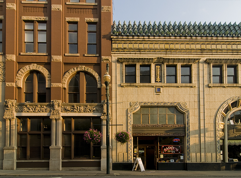
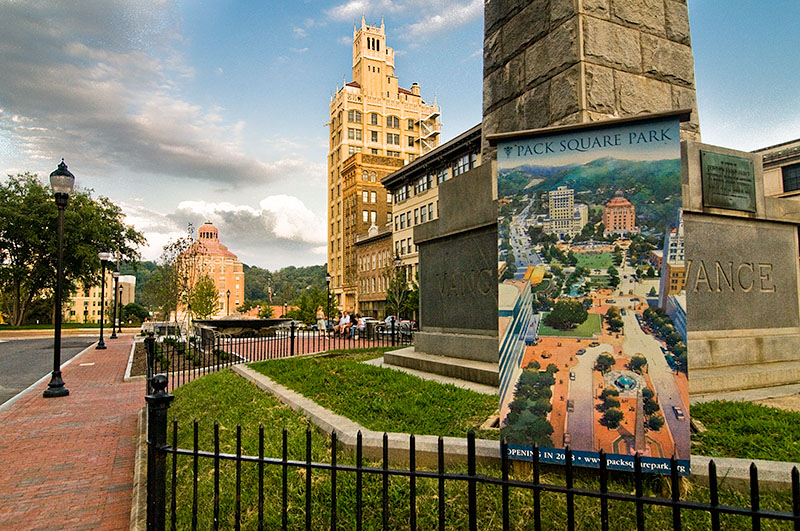
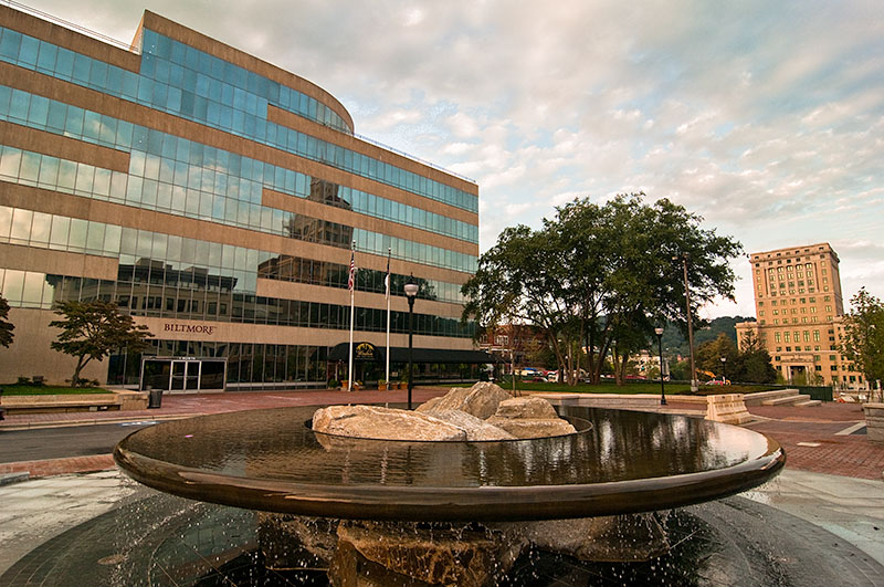
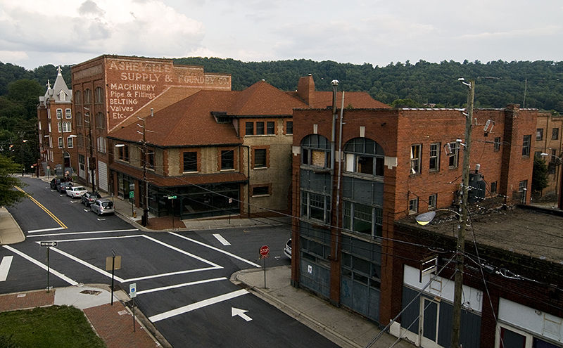
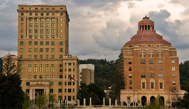
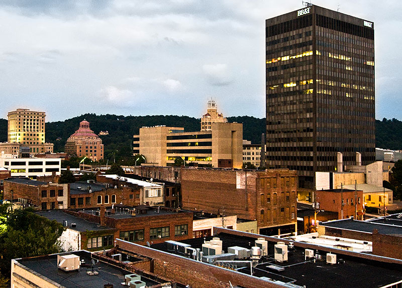
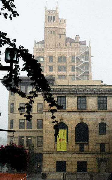
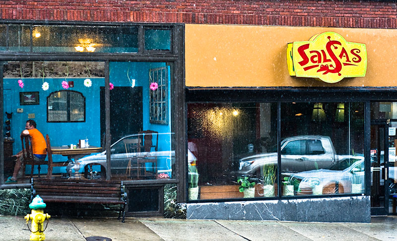
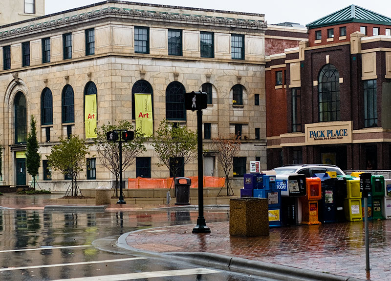
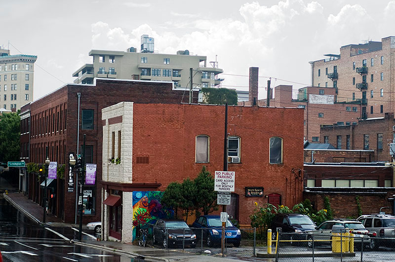
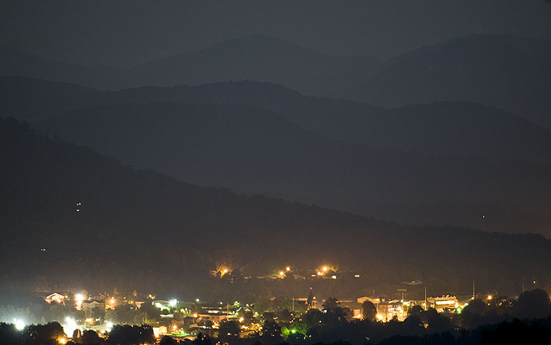
Downtown Asheville
My hometown, Asheville, North Carolina.
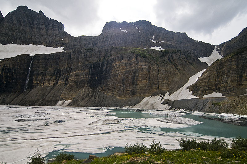
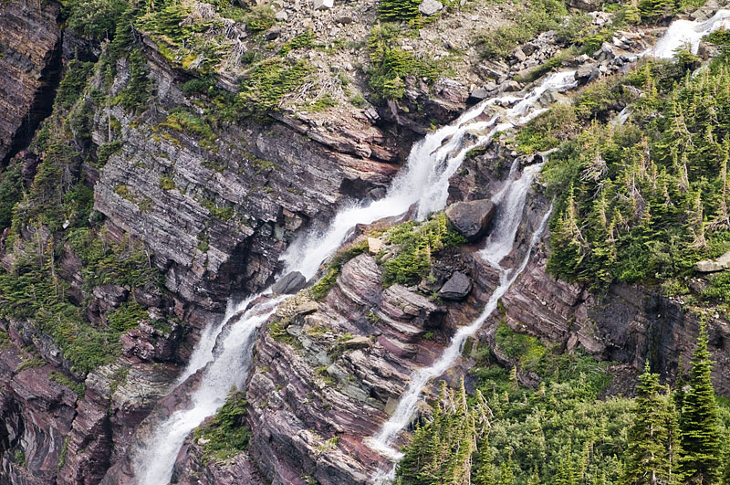
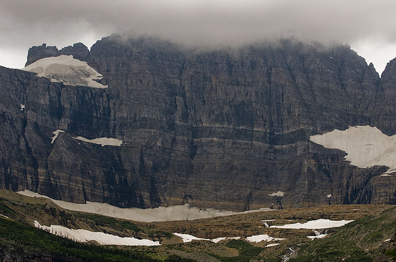
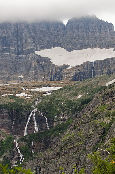
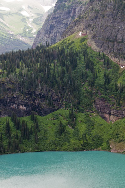
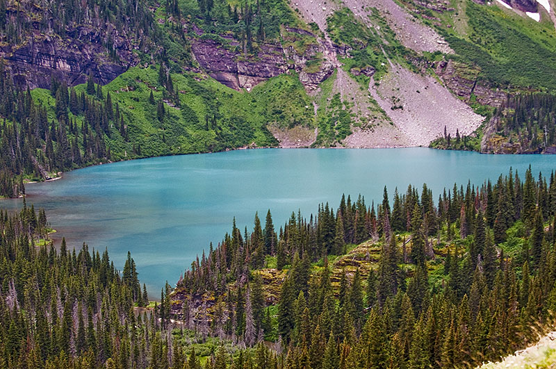
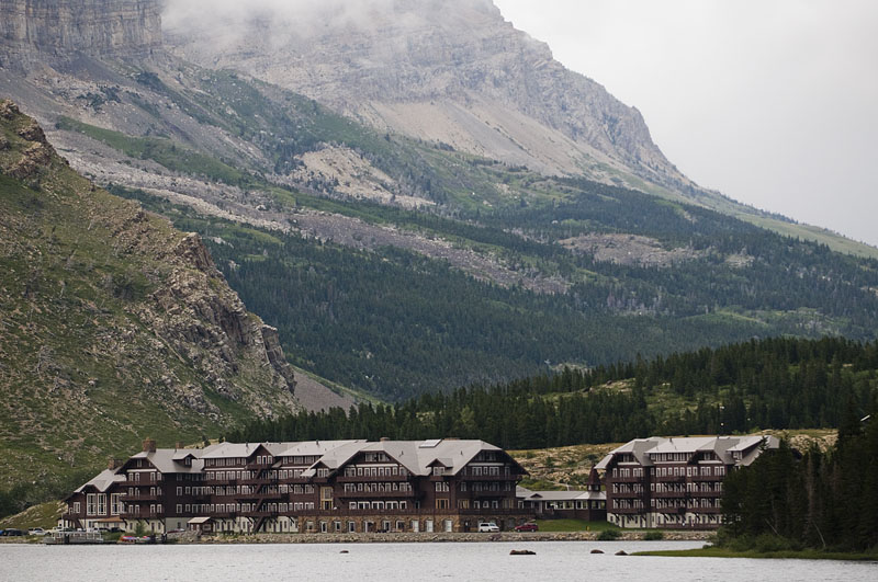
Click on the picture to access a gallery of pictures from a hike to Sam’s Knob from Black Balsam near the Blue Ridge Parkway.
The arrows below pictures in the slide show navigate. Clicking on a picture will close the slide show.

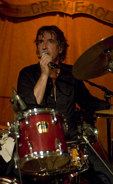
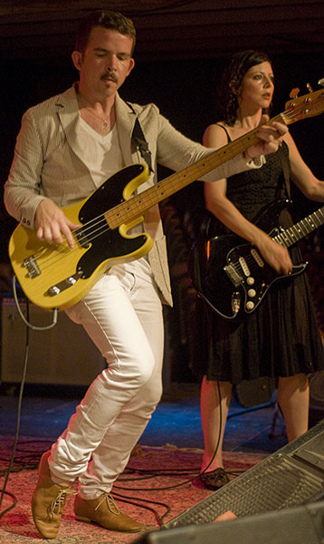
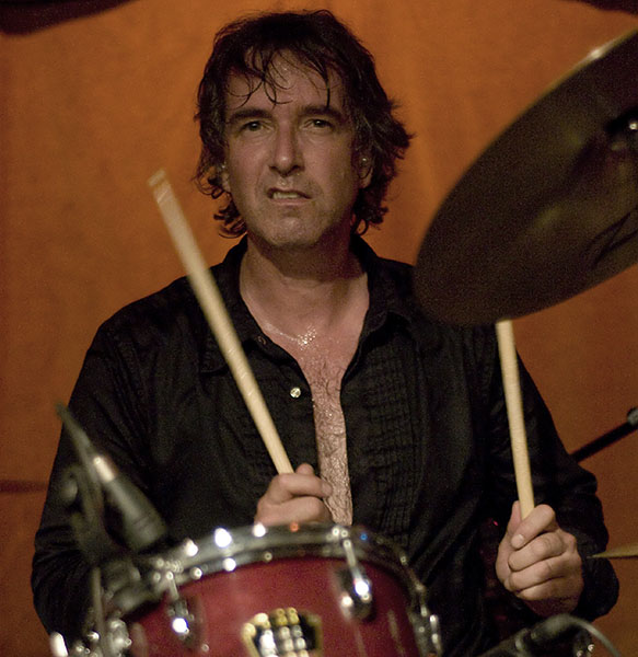
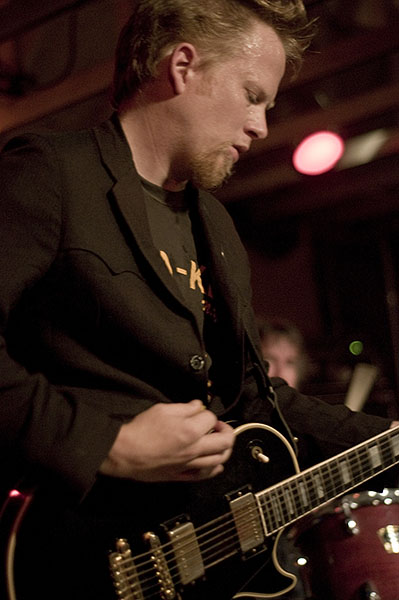
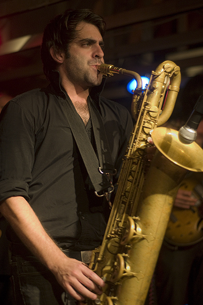
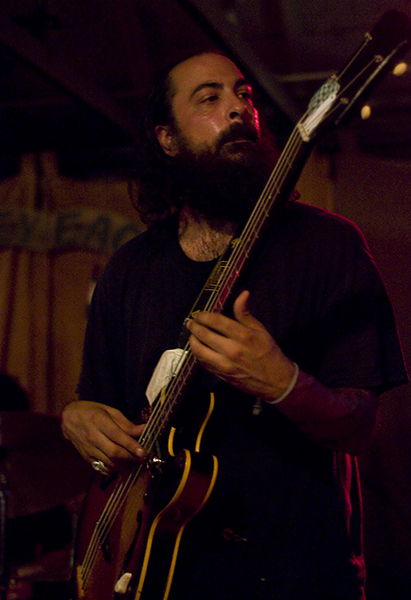
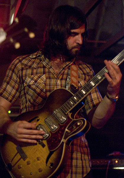
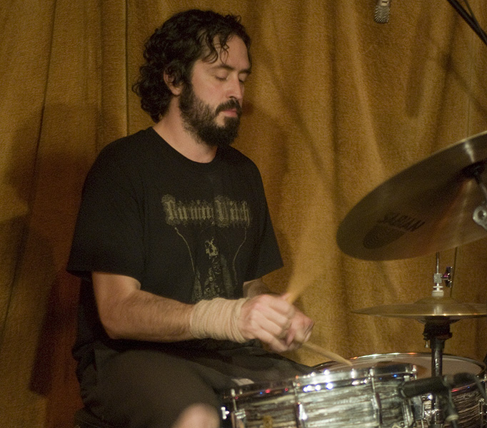
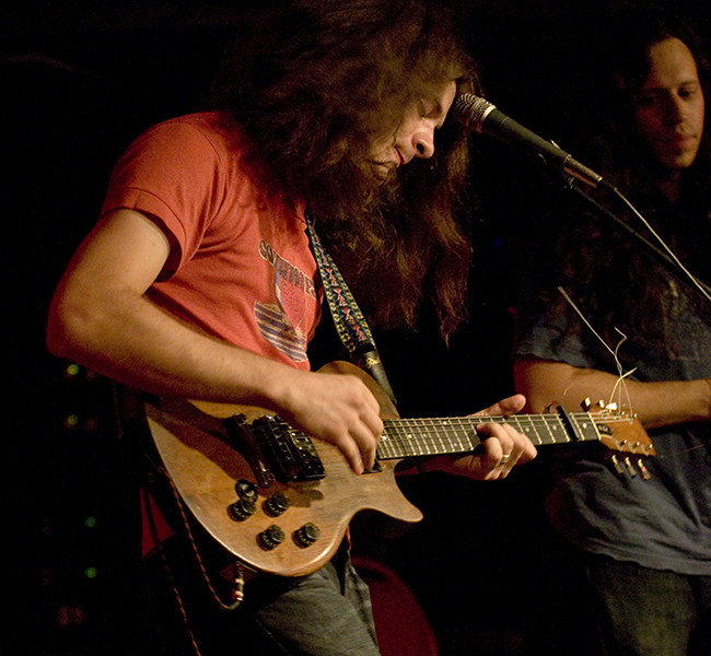
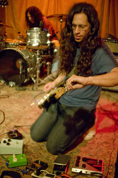
The last three bands to play at Harvest Record’s Transfigurations. At the Grey Eagle in Asheville, NC.


After leaving the Books at Diana Wortham I went over to the Grey Eagle just in time to catch the last few songs of Jonathan Kane’s set. All five were onstage in a straight line, with Jonathan in the middle. They were absolutely wailing out some serious rock. Quite a change from the mellow pace of the Books. I was impressed.


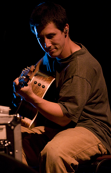
More of Harvest Records’ Transfigurations. These pictures are from the Saturday evening show at the Diana Wortham Theatre. Villages opened, followed by Mount Eerie, and finally The Books.

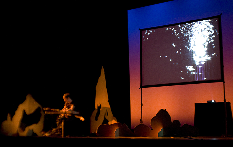


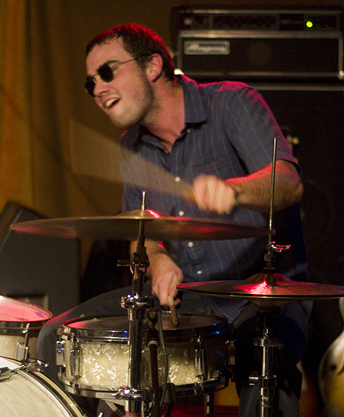
These pictures are all from the late show at the Grey Eagle. Ice Cream opened up for Budos Band.


For their 5 year anniversary local Asheville record shop Harvest Records put on a 3 day music festival. My sister Rebecca arranged for me to attend the shows and take pictures for the local independent newspaper the Mountain Xpress .
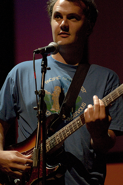
It was my first time ever being commissioned to take pictures and it was a great experience. These are all from the first day at one of the best places to see live music in Asheville, the Grey Eagle.
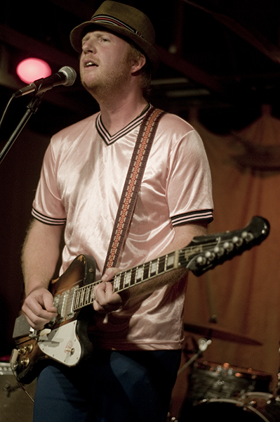
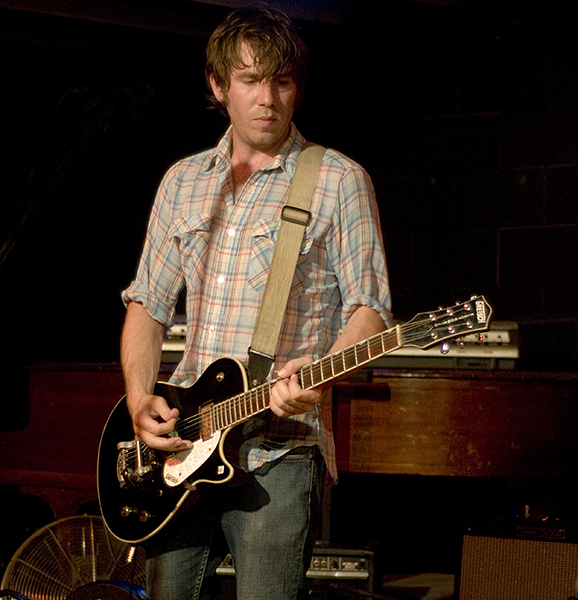
The bands playing this show, in order of appearance, were:
Floating Action from Asheville, NC
The Coathangers from Atlanta, GA
Kurt Vile from Philadelphia, PA


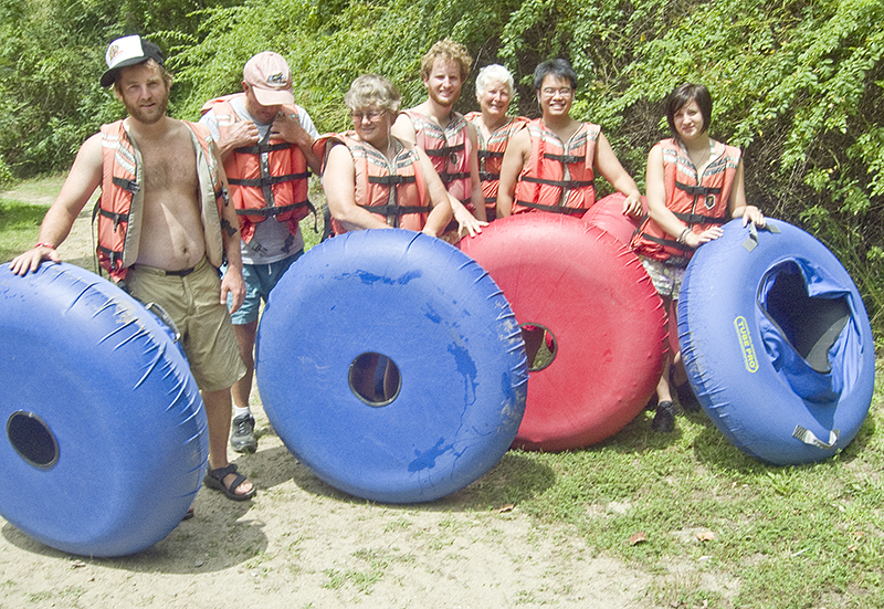
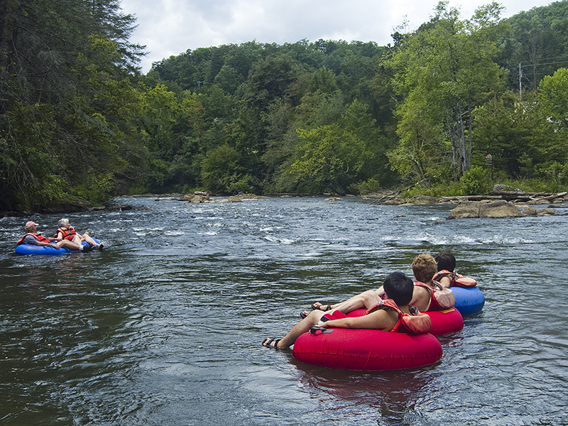
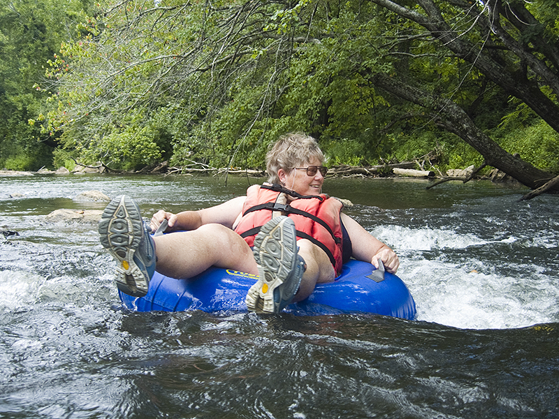
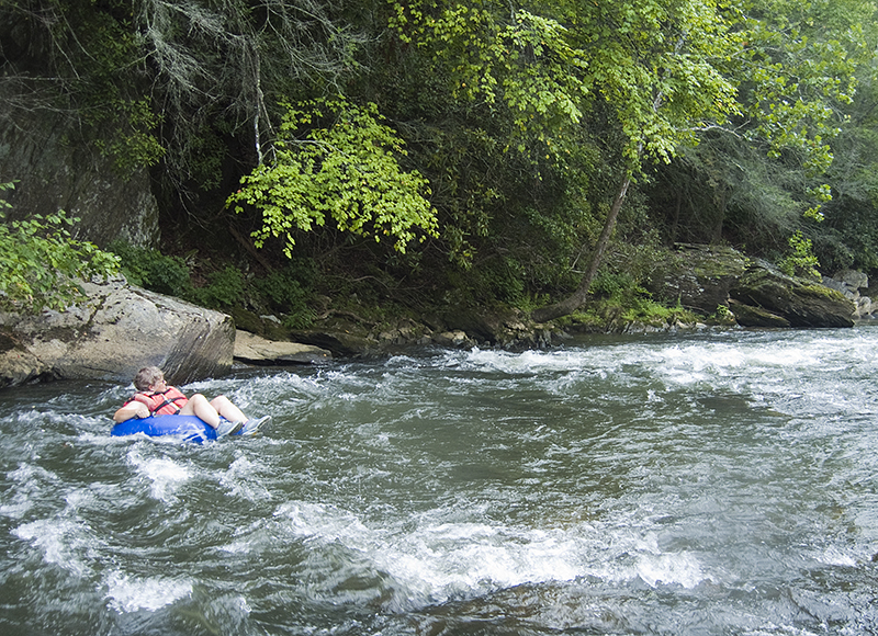
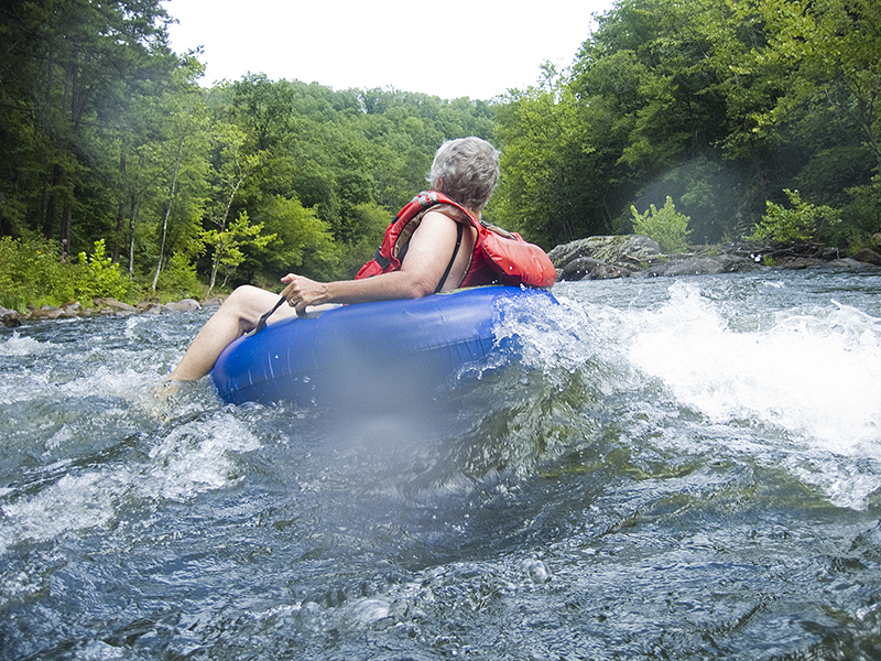
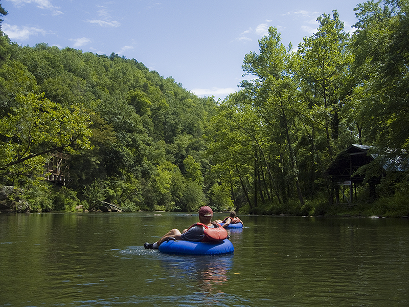
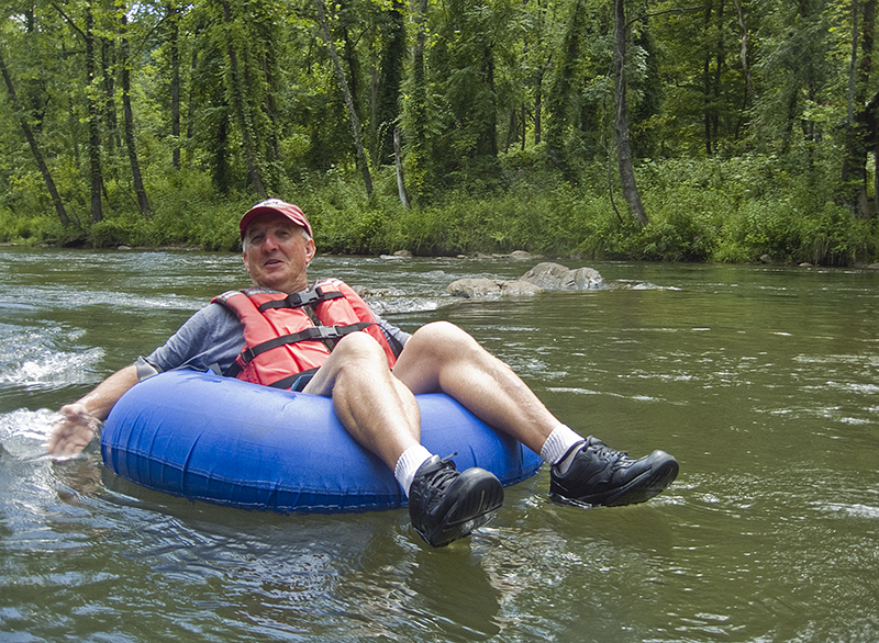
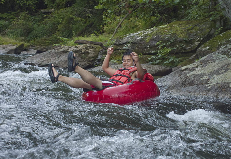
Sunday we headed west to Dillsboro and rented tubes from Tuckaseegee Outfitters to float the Tuckaseegee River. Always a good time, even slightly low water didn’t dampen the fun. Apparently Wednesday, Thursday, and Saturday are the days they release more water from the upstream dam.

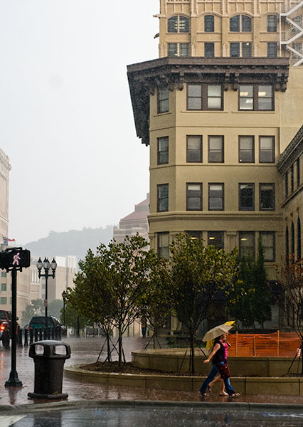
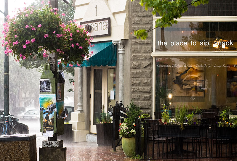
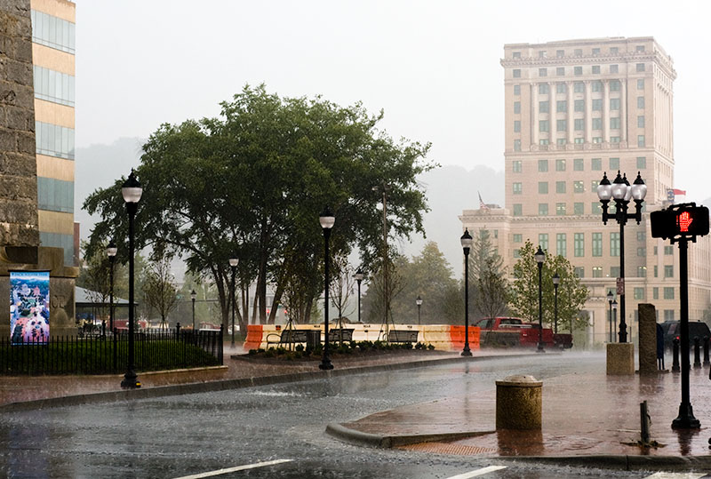
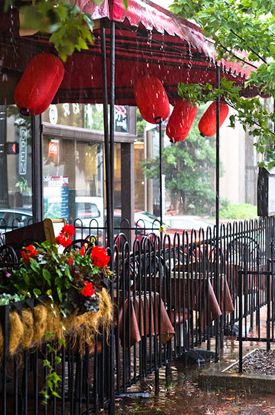
An afternoon thunderstorm in Asheville, North Carolina.

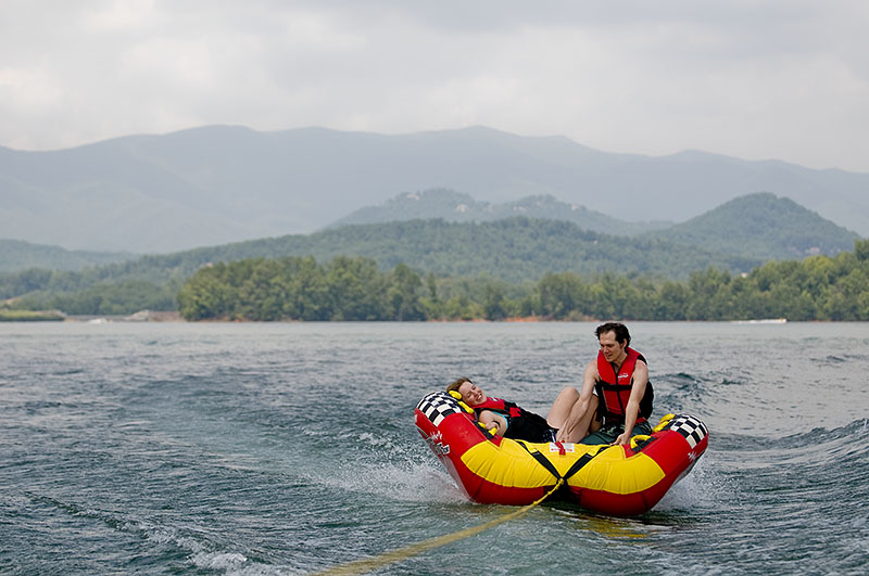
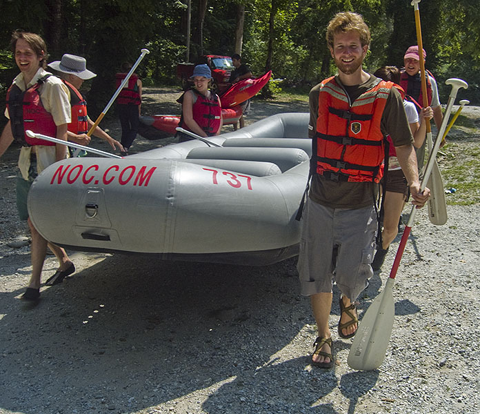
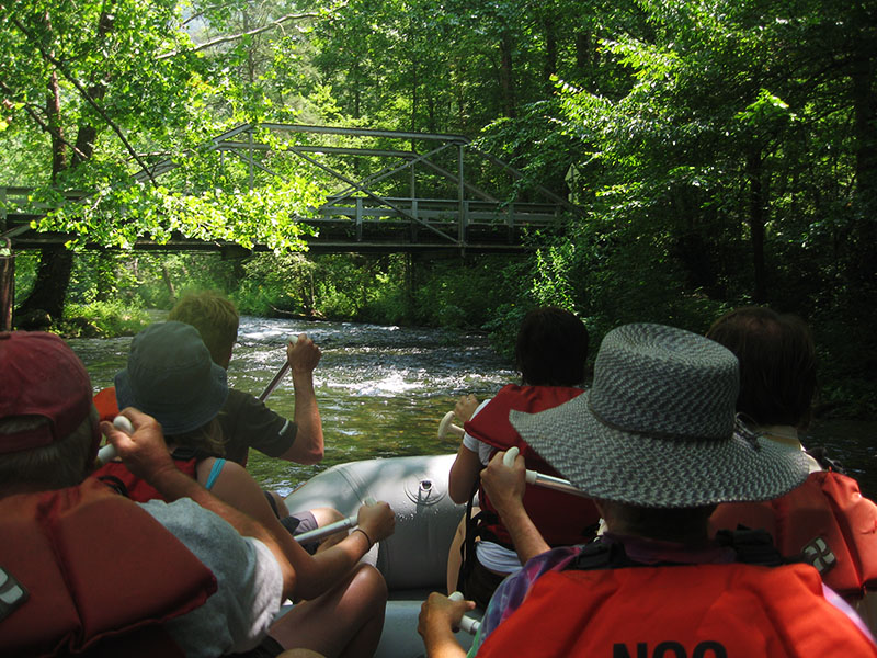
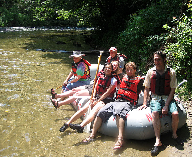
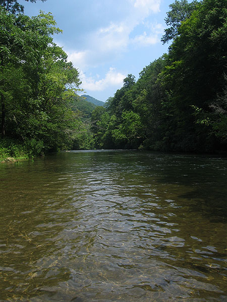
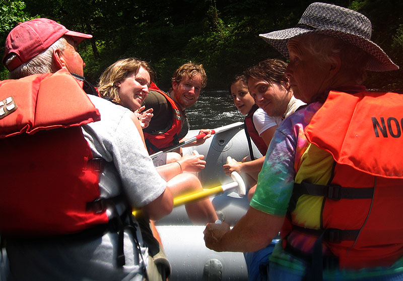
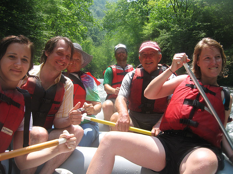
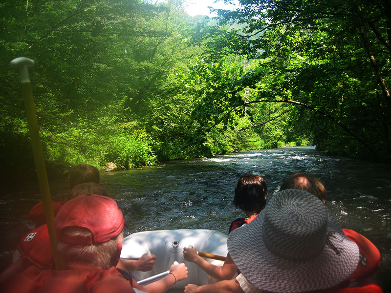
We rented a raft from the Natahala Outdoor Center without a guide. I don’t know how long that has been an option, but most of the outfitters on the Natahala seem to be providing the service nowadays. They take you 8 miles up the river and you are in charge of navigating some class 2 and one class 3 rapid.
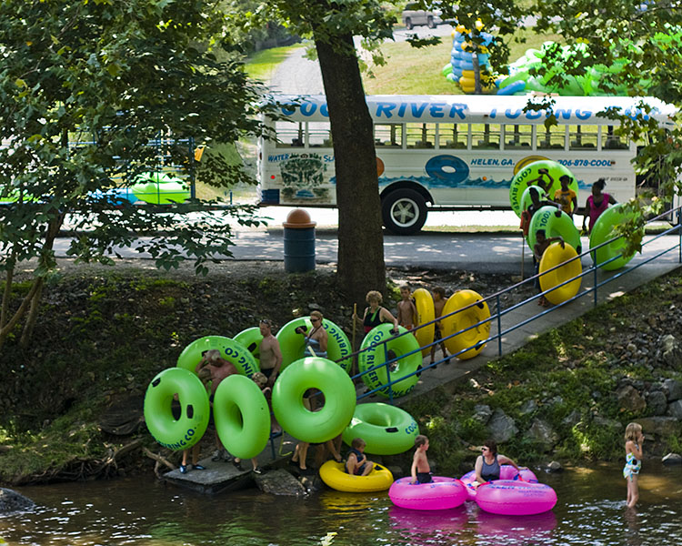
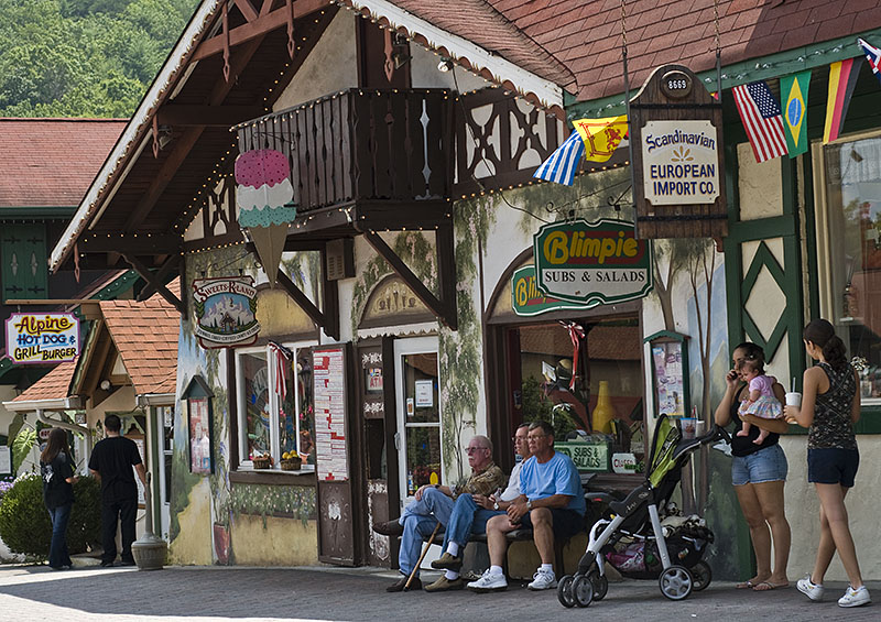
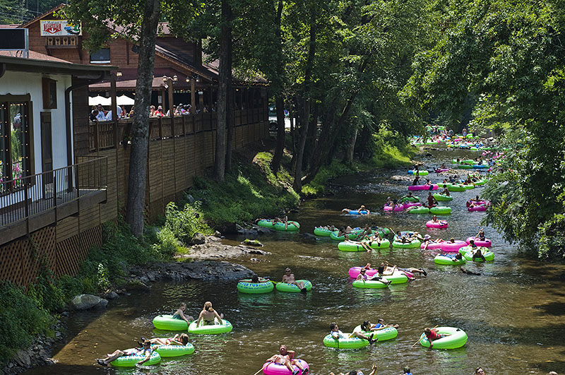
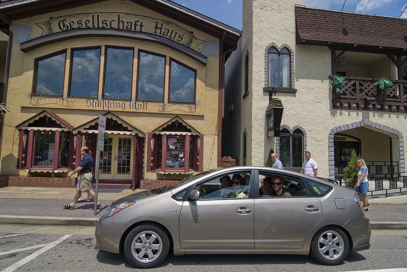
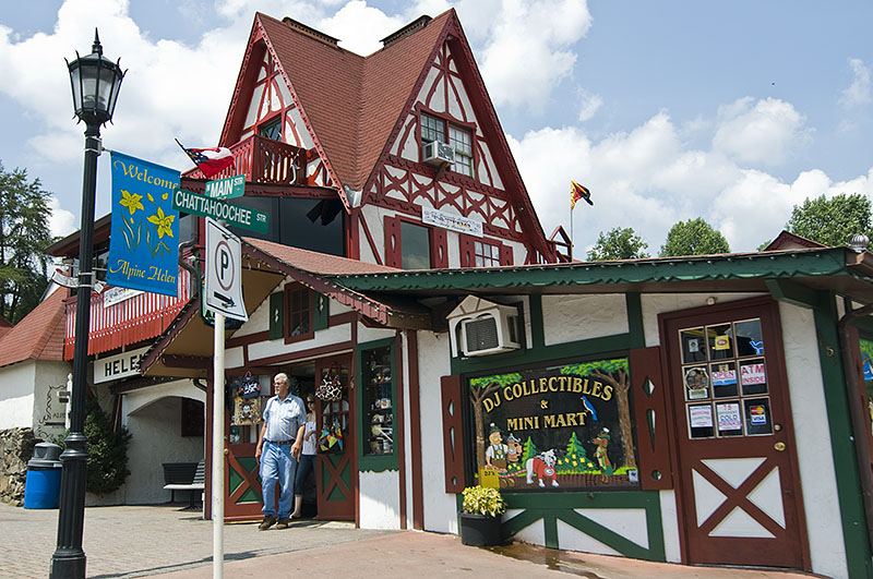
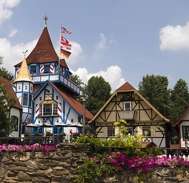
We made a brief trip over the mountain to Helen, Georgia. Having undergone a comically slow tubing run on a creek with not quite enough water in it two years ago, the Sulock’s returned to give tubing in Helen another look. Next time we will likely require more than two years before our memories are sufficiently faded to consider a return trip.
From the town’s website:
This Northeast Georgia village has a rich history linked to the Cherokee Indians and Indian burial mounds as well as early settlers who arrived to mine for gold and cut virgin timber for a thriving lumber industry in the early 1900’s. Now celebrating its thirty-fifth year as a mountain community with a touch of Bavaria.
Nothing like celebrating your rich Cherokee history by turning your town into a giant gingerbread house. Regardless of my opinion of the current state of Helen, the roaming masses on the occasionally cobble-stoned streets seemed to indicate that their alpine strategy for attracting visitors was a successful one.
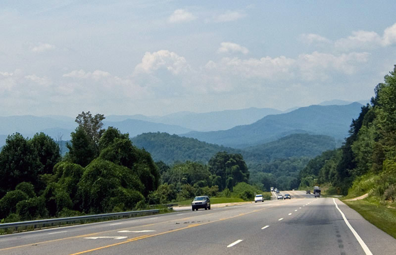
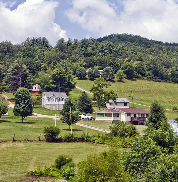
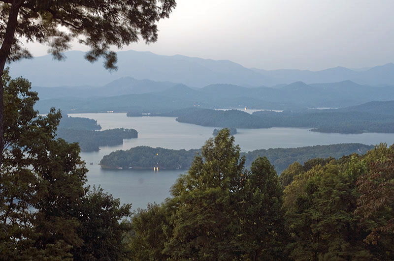
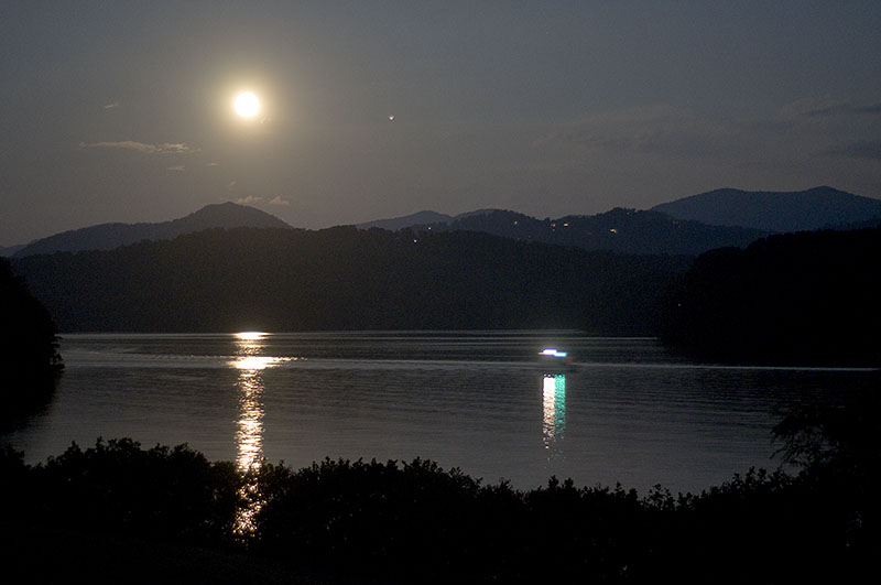
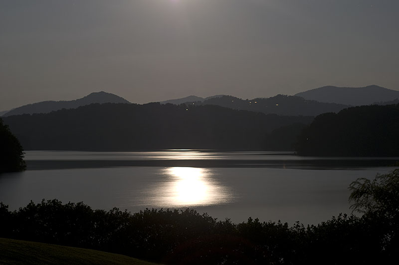
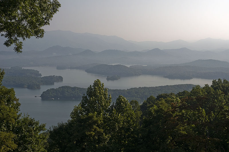
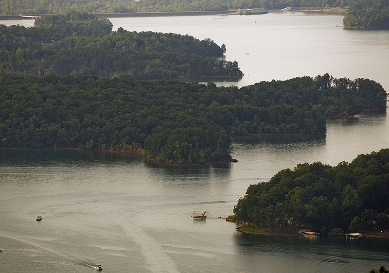
Pictures from the drive through western North Carolina to Lake Chatuge in northeast Georgia.