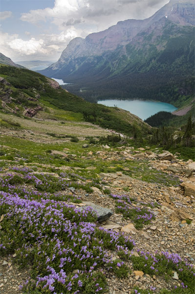
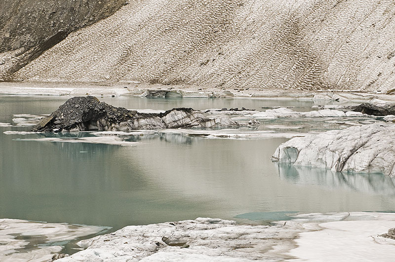
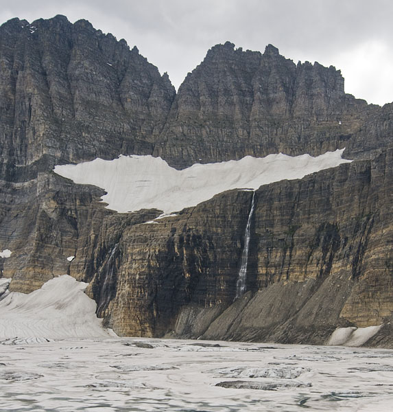
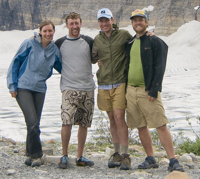
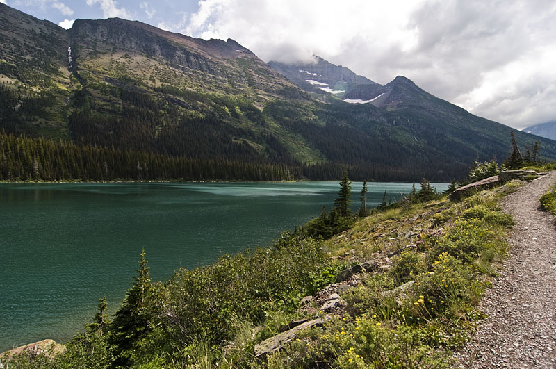
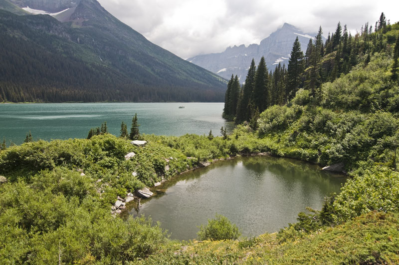
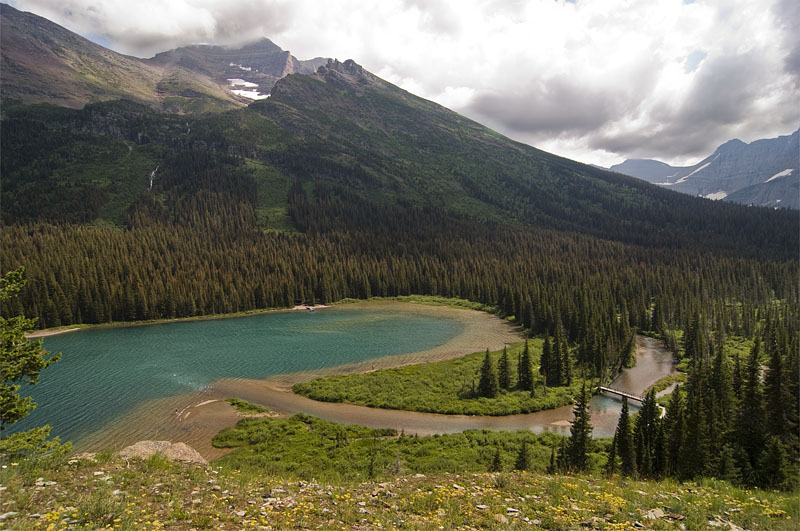
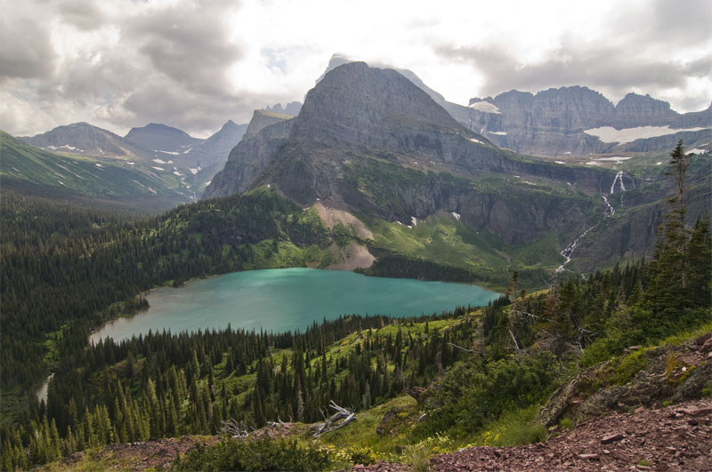
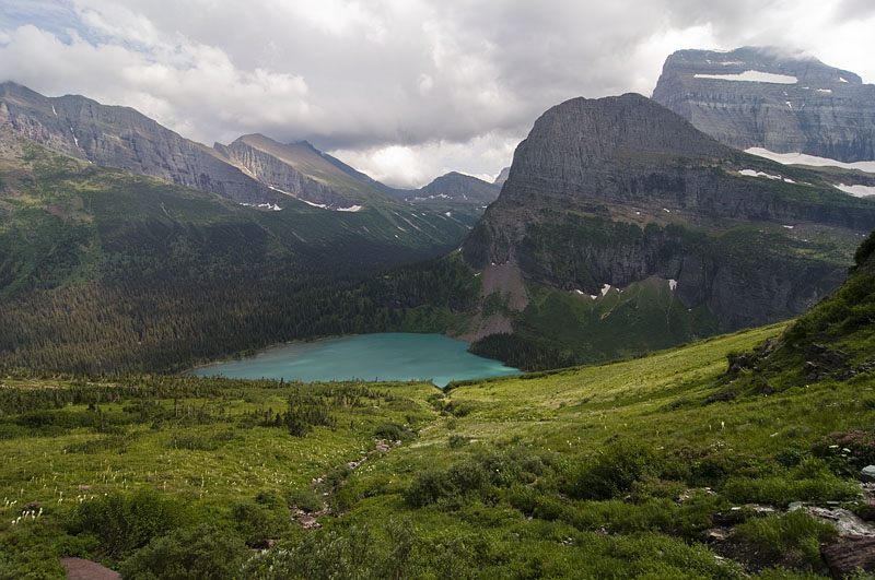
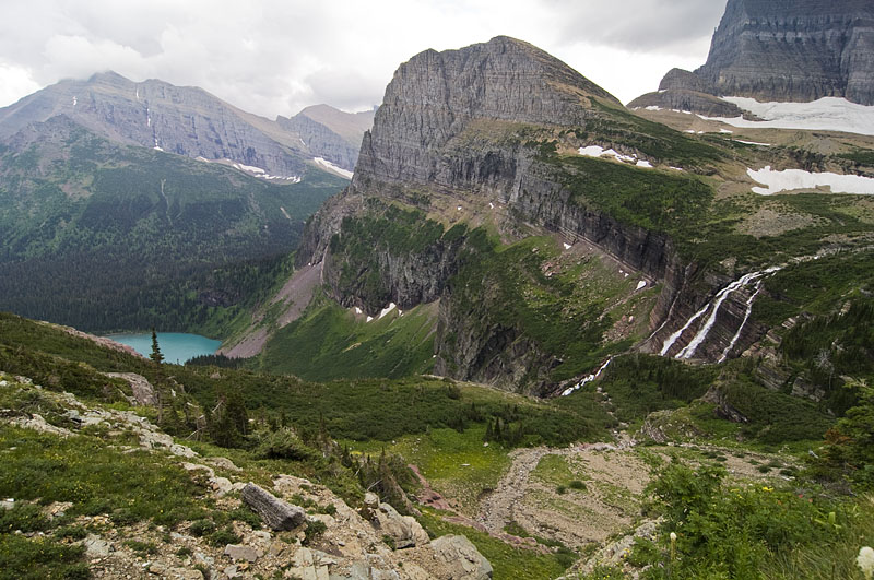
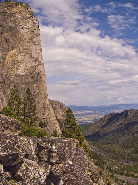
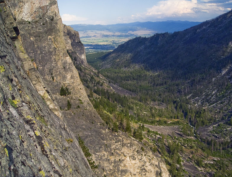
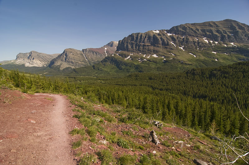
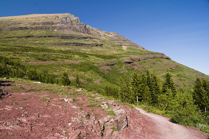
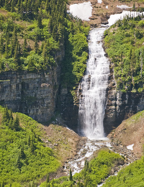
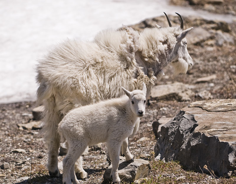
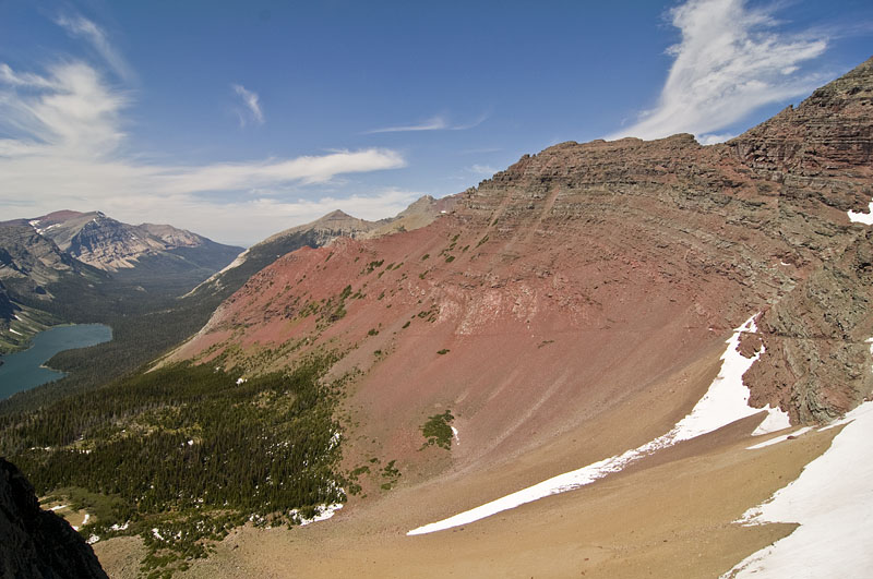
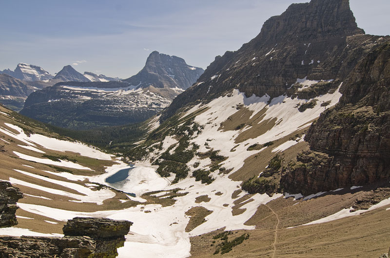
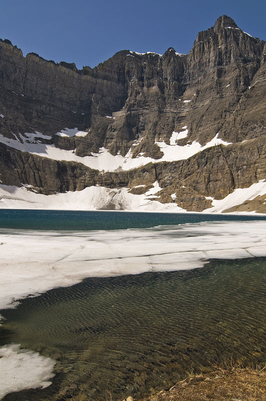
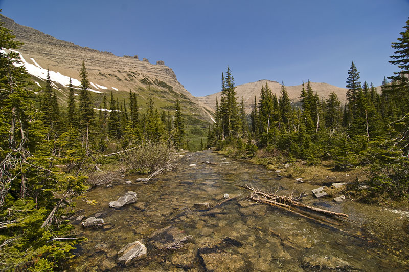
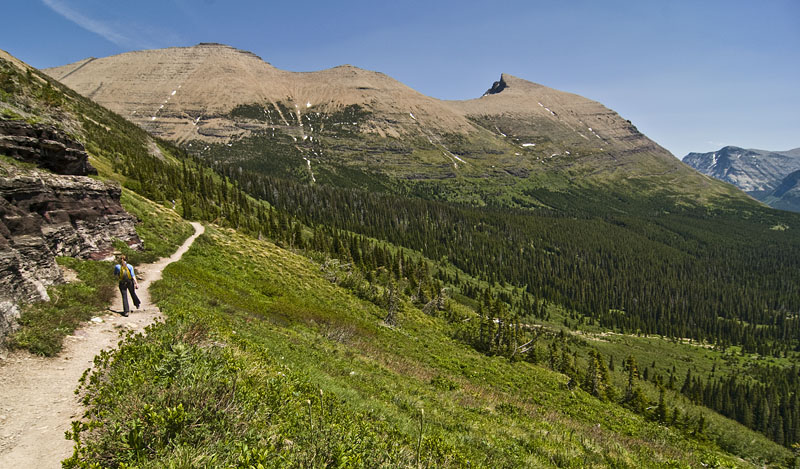
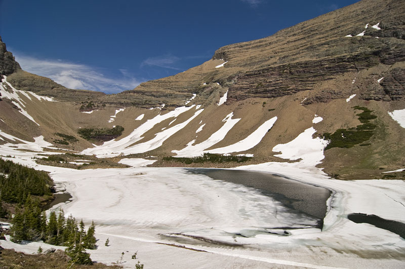
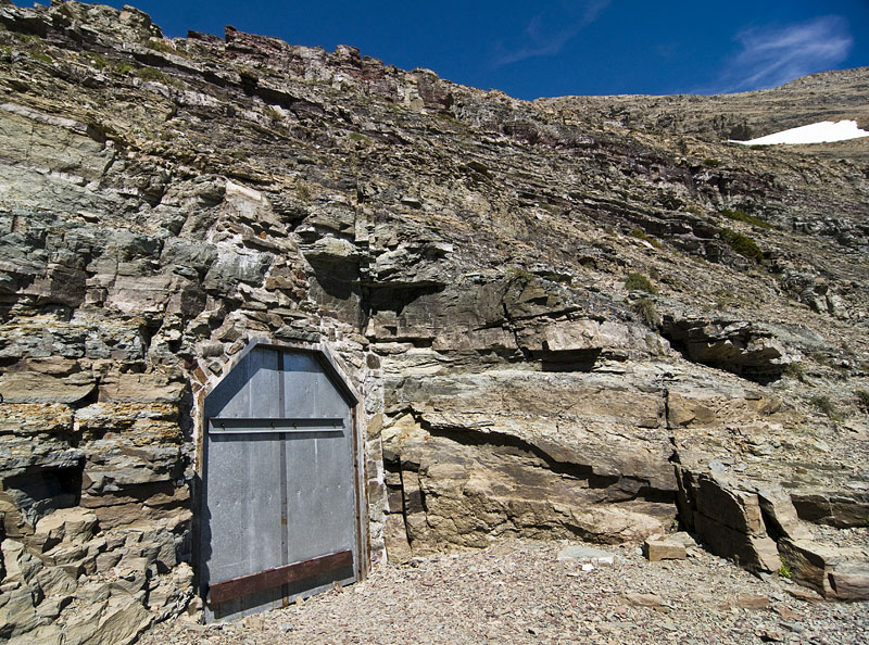
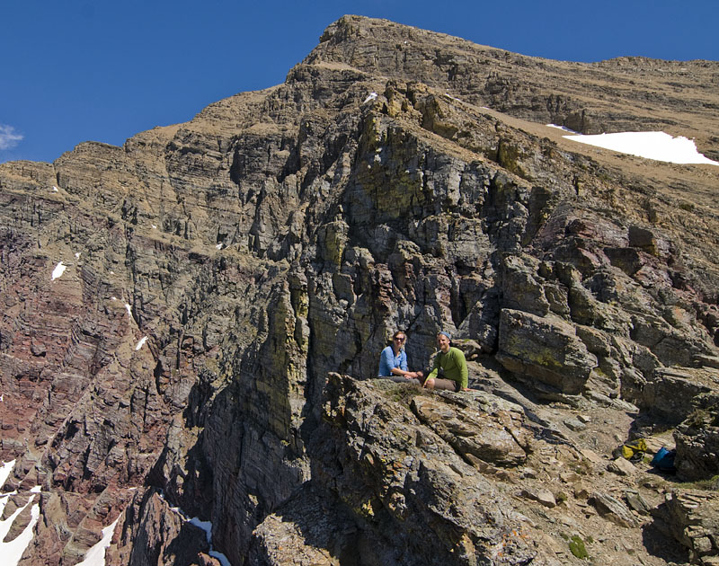
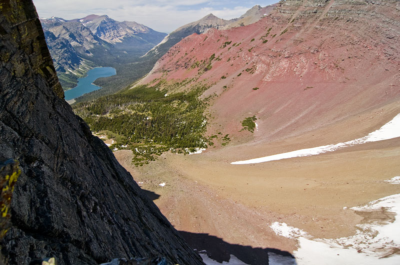
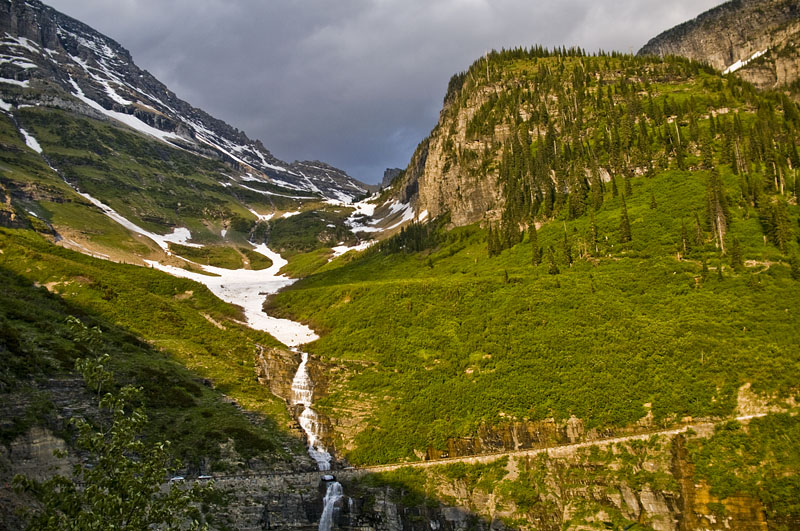
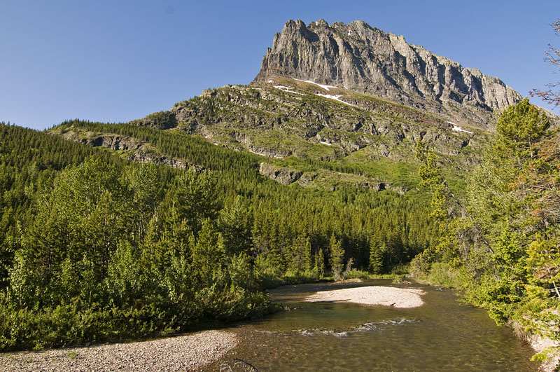
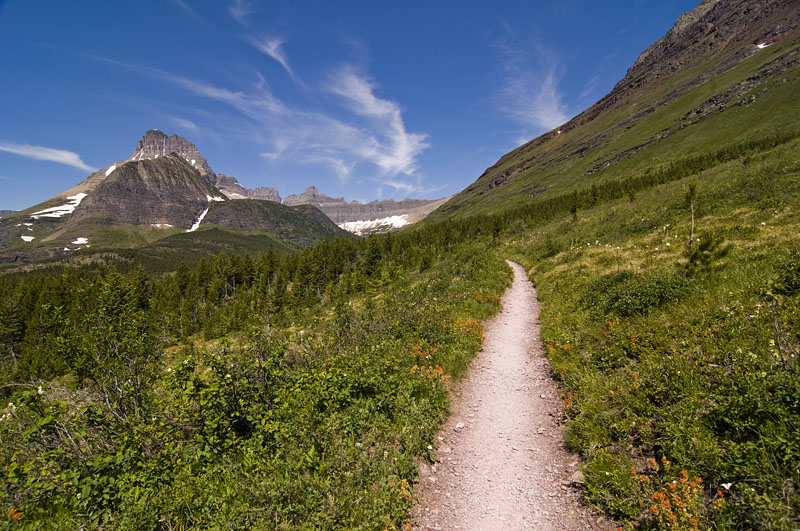
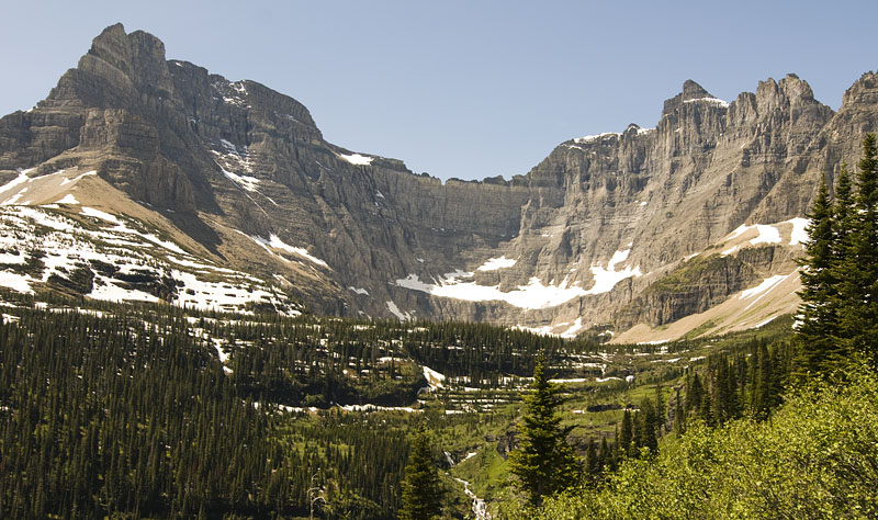
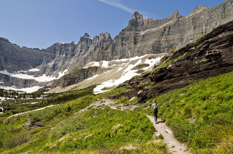
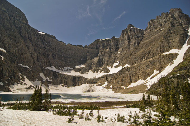
Grinnell Glacier
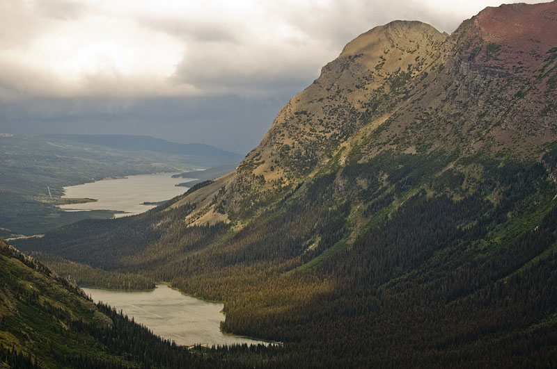
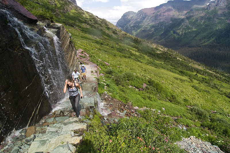
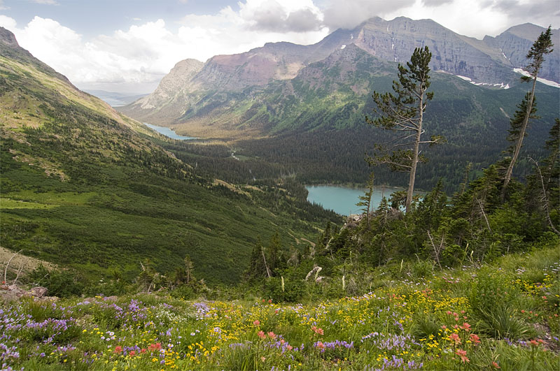
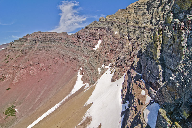
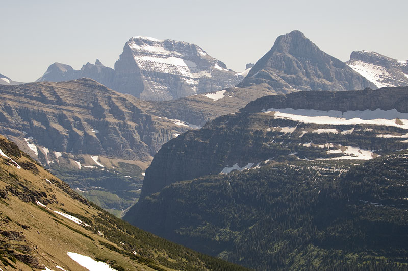
After 5.7 miles we made it to Grinnell Glacier. The giant steep rock wall enclosing the area is called the Garden Wall, it is part of the continental divide.
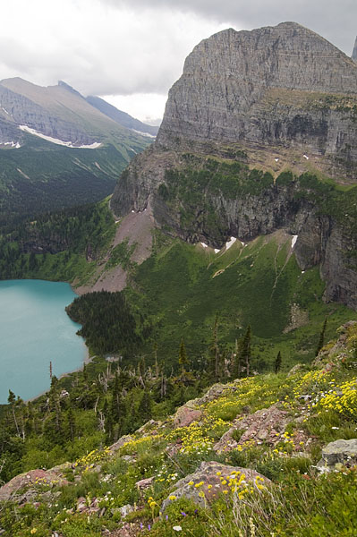
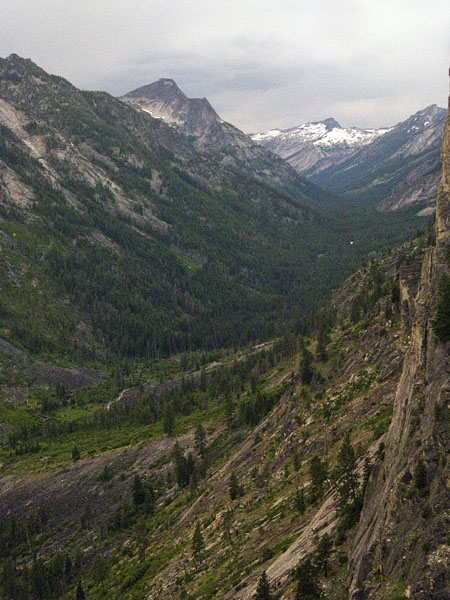
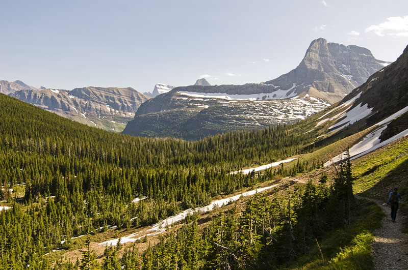
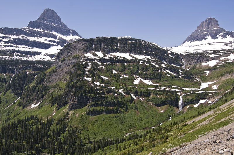
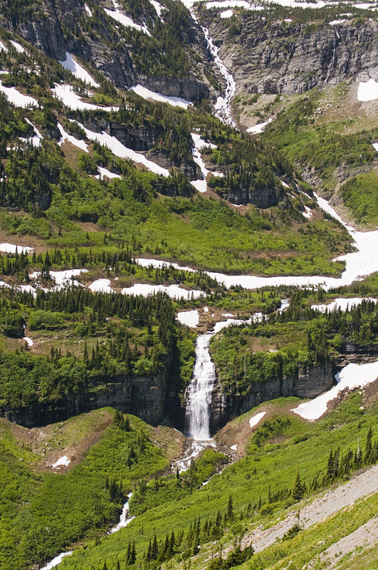
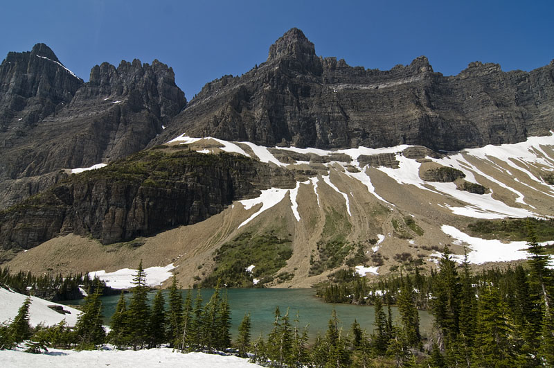
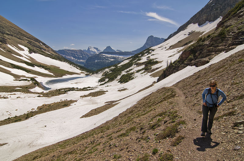
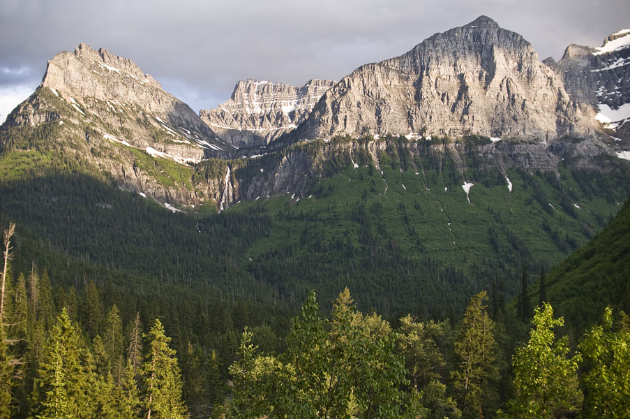
If you look at the top of the wall in the 4th picture there is a notch in the Garden Wall above and to the right of Salamander Glacier. You can hike to that point from the Highline Trail. Pictures from that spot from September 2008 are here and from September 2007 here.